The Alps of Southern Europe — the Roof of Montenegro
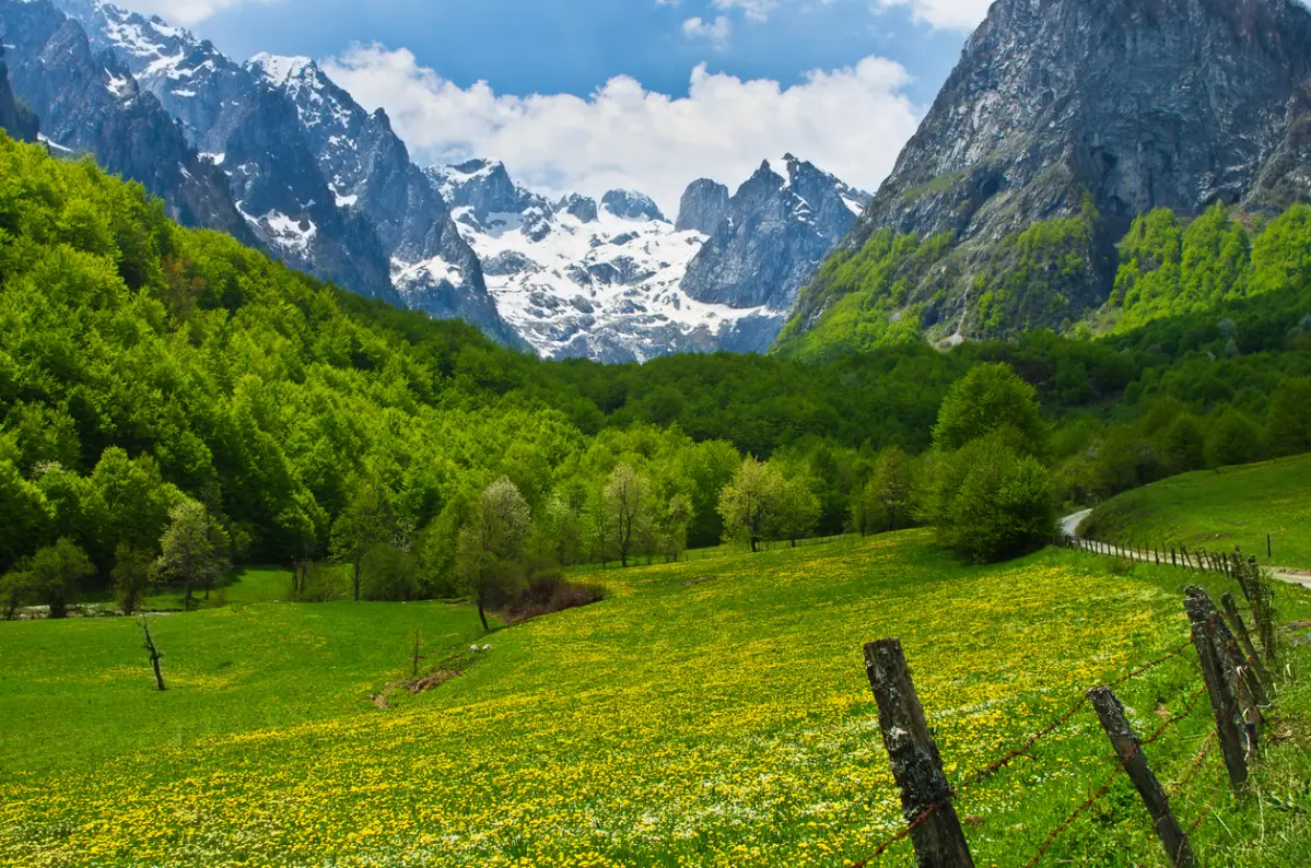
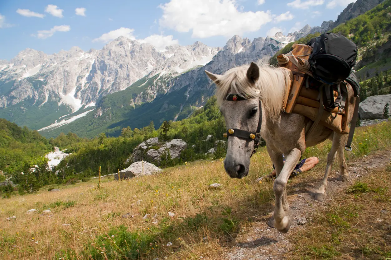
Prokletije is Montenegro's youngest and wildest national park, proclaimed in 2009. Located at the southernmost end of the Dinaric Alps, these mountains form a natural border with Albania and Kosovo, with their highest peak Zla Kolata reaching 2,534 m above sea level. The park offers more than 20 peaks exceeding 2,500 metres, mysterious glacial lakes, the canyon of the Grlja river, and rich flora with over 1,600 plant species. The starting points for exploration are the small towns of Plav and Gusinje, from which trails lead to the valleys of Grebaje and Ropojana, as well as the international Peaks of the Balkans route.
Highest peak
Zla Kolata — 2,534 m a.s.l.
National park status
Since 2009
Location
Plav and Gusinje, southeastern Montenegro
Park area
16,630 ha
Peaks above 2,000 m a.s.l.
77 peaks
Plant species
Over 1,600
Highlights
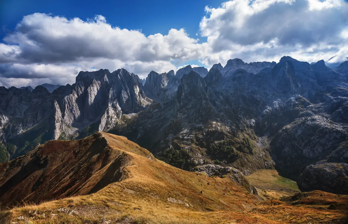
Zla Kolata (2,534 m above sea level) is the highest peak in Montenegro and one of the most demanding mountain destinations in the Balkans. The ascent to this peak takes 8 to 10 hours and is recommended with a local guide due to sparse signage and challenging rocky sections. The peak sits on the border with Albania, and the view from it stretches across the entire Prokletije massif, the Albanian Alps, and the mountains of Kosovo. Prokletije has more than 20 peaks exceeding 2,500 metres — a challenge that attracts experienced mountaineers from across Europe.

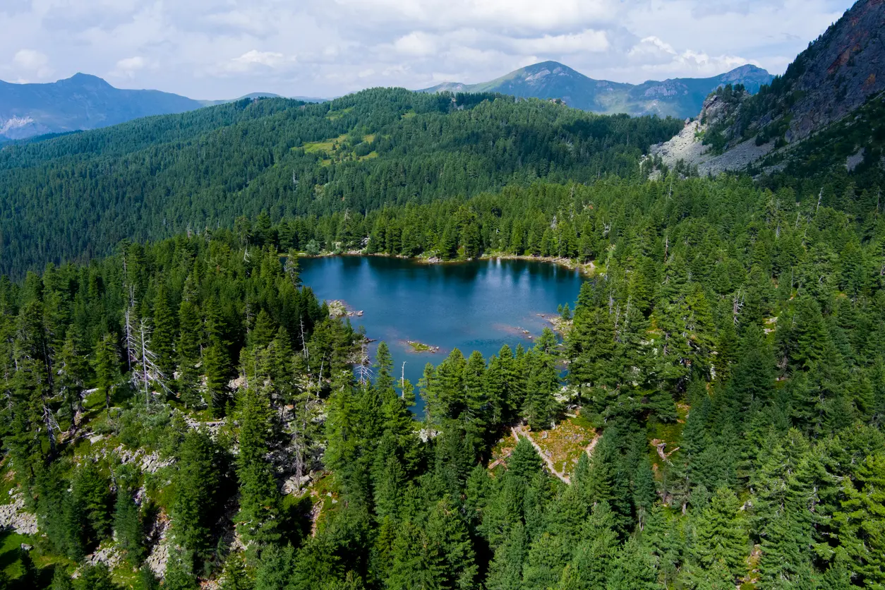
Hridsko jezero is a glacial lake situated at 1,970 metres above sea level in the northwestern part of the park, near the municipality of Plav. It measures approximately 300 metres in length and 160 metres in width, with a depth of 5 to 6 metres. It is surrounded by tall pines and spruces, with the peaks of Mali and Veliki Hrid rising in the background. According to local legend, the lake was once a bathing place for fairies and grants wishes to visitors who throw jewellery into its clear water — over the years, glittering jewellery has accumulated on the bottom. The lake can be reached on foot from Bajrovića katun (1 to 1.5 hours) or by 4x4 vehicle.
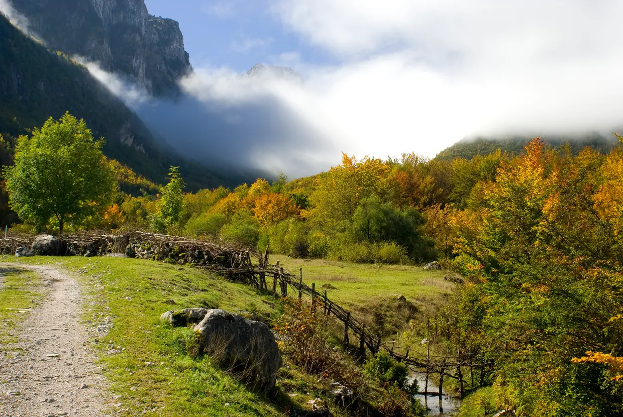
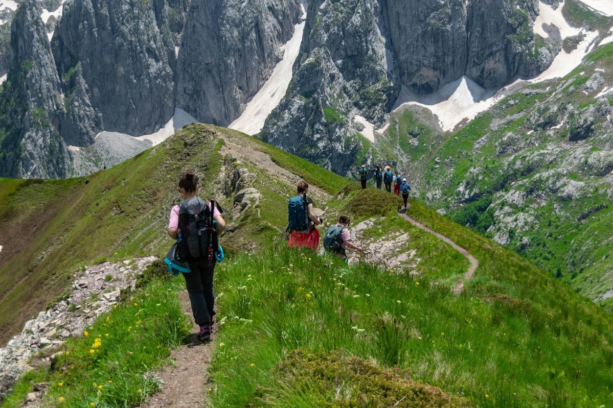
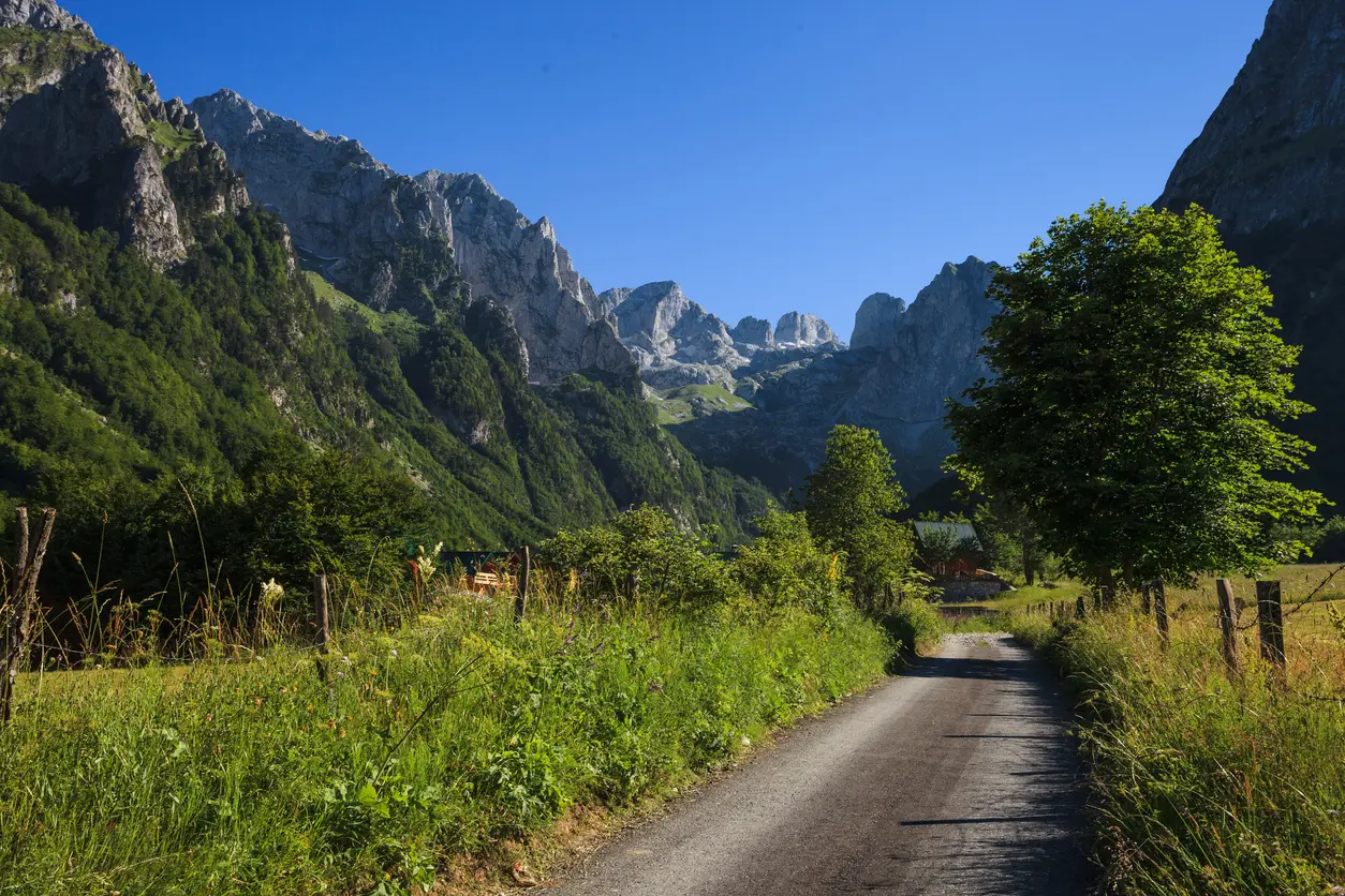
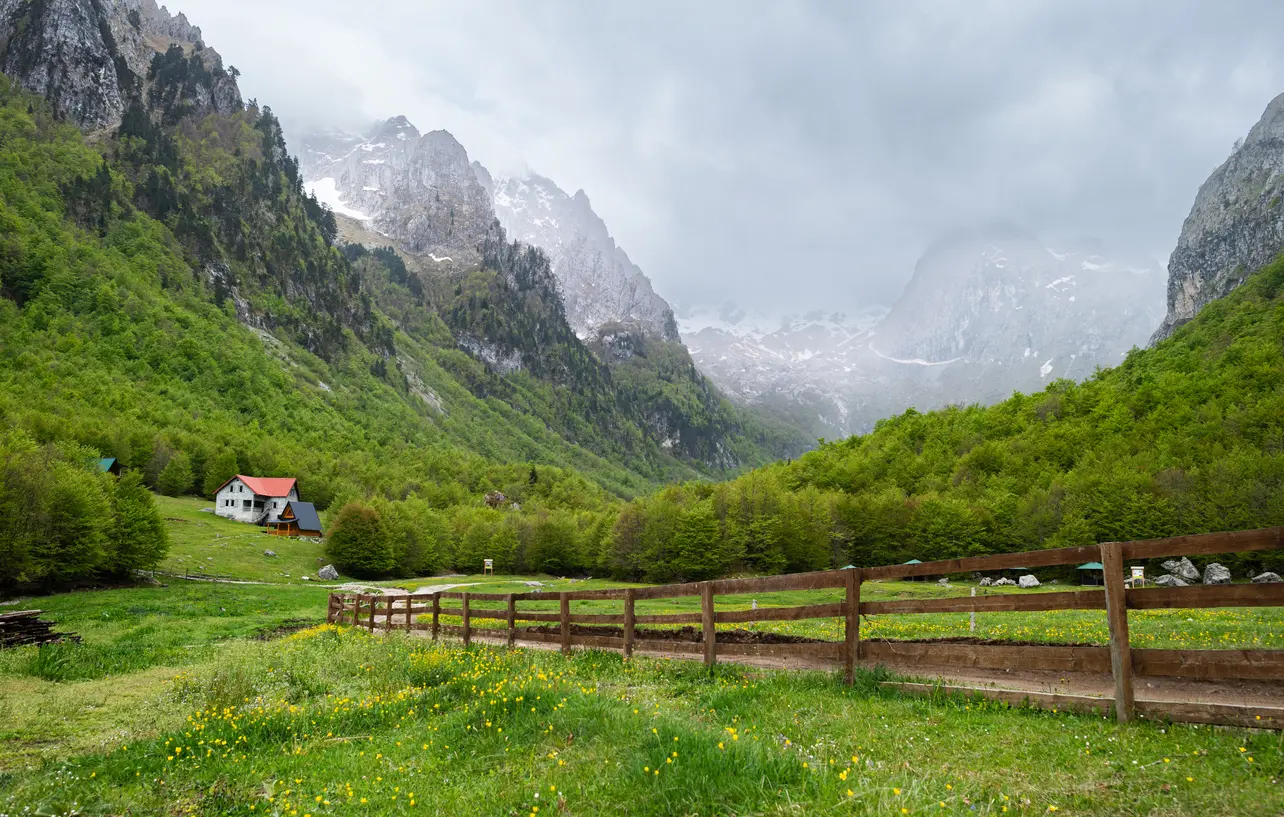
Grebaje Valley is the most visited part of Prokletije National Park and the starting point for the most dramatic hiking routes, including the ascent to Volušnica and the Karanfil peaks. The valley is situated right on the border with Albania and offers panoramas rarely seen in the Balkans — green meadows surrounded by vertical limestone cliffs. The valley has bungalows and katuns serving home-cooked food, making it an ideal base for a multi-day stay. The Peaks of the Balkans trail passes directly through Grebaje, making it a popular stop on this international trekking route.
Ali Paša Springs (Ali Pašini izvori) are a unique hydrological phenomenon in the immediate vicinity of Gusinje — crystal-clear water springs directly from the mountain and the ground, forming the Vruja river. This is one of the most visited and most photogenic spots in the park, accessible on foot from Gusinje in just 1 to 2 hours of leisurely walking. During spawning season, large trout can be seen in the clear waters of the Vruja. The setting amid the peaks of Prokletije makes this place perfect for a family outing or a relaxed stroll. Nearby is the NP Prokletije visitor centre with an exhibition on the park's flora and fauna.
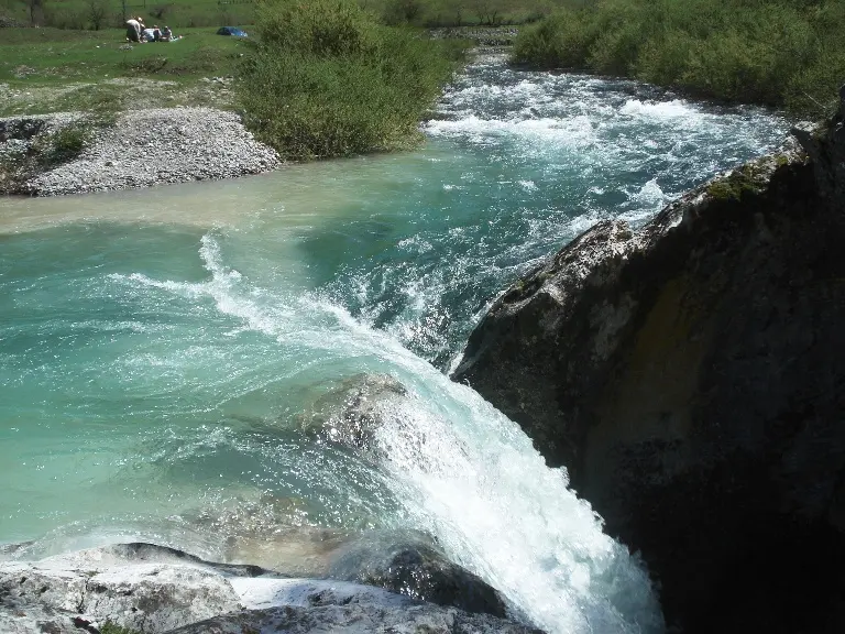
The Grlja river canyon is one of the most dramatic natural attractions of Prokletije, accessible exclusively with an organised guide. The canyon is approximately 500 metres deep and ranks among the most demanding canyoning destinations in the region — the water is ice-cold even in summer, requiring the use of two wetsuits. The activity is available from the second half of August through October. The Grlja is also the river that defines one of the wildest corners of the park, and its course through the park makes it an unmissable point for adventurers seeking experiences off the beaten tourist track.
What to do

Trails ranging from easy walks in Grebaje to demanding ascents of Zla Kolata (2,534 m above sea level).
tap to close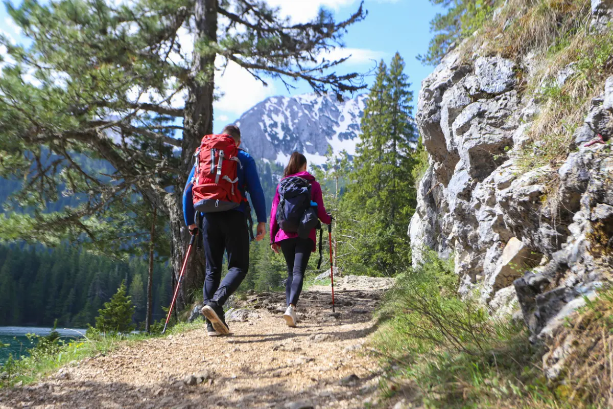
One third of the international 192 km route through Montenegro, Albania, and Kosovo passes through the park.
tap to close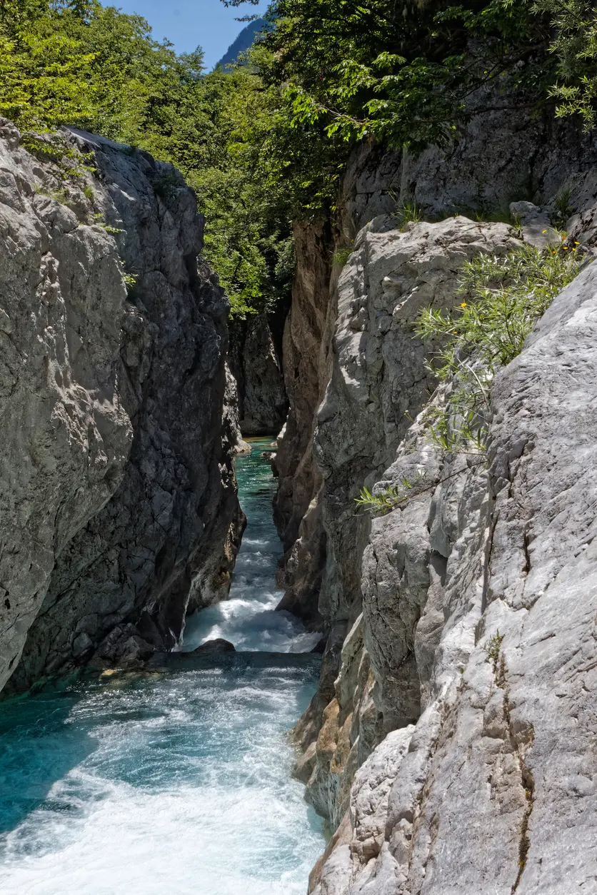
The Grlja river canyon offers adrenaline-filled experiences accessible with a guide from August to October.
tap to close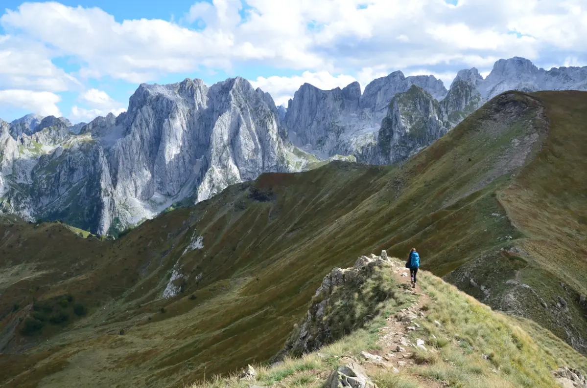
The jagged cliffs of Prokletije attract alpinists seeking new routes in untouched terrain.
tap to close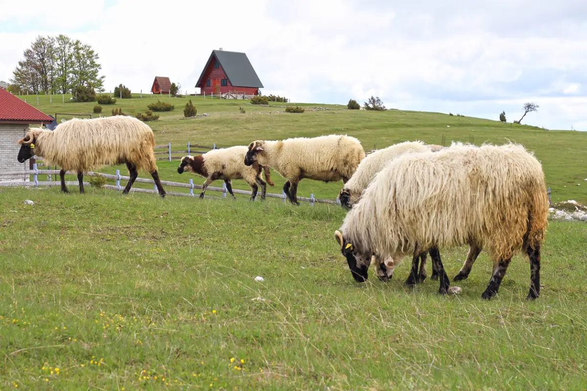
The park is home to chamois, bears, wolves, and lynx in an almost untouched mountain environment.
tap to closeGallery
Plan Your Visit
The park is accessible throughout the year. The visitor centre in Gusinje is open during the season (June–September), generally until early afternoon.
3 EUR per person (daily ticket). Children under 7 free. Annual pass for all 5 national parks of Montenegro: 13.50 EUR.
Free parking is available at the entry points in the Grebaje valley and in Gusinje. A 4x4 is required to access more remote locations (Hridsko jezero).
The park is not adapted for people with limited mobility. The terrain is predominantly mountainous in character with steep and uneven trails.
+382 51 245 160
https://nparkovi.me/parks/prokletije
FAQ