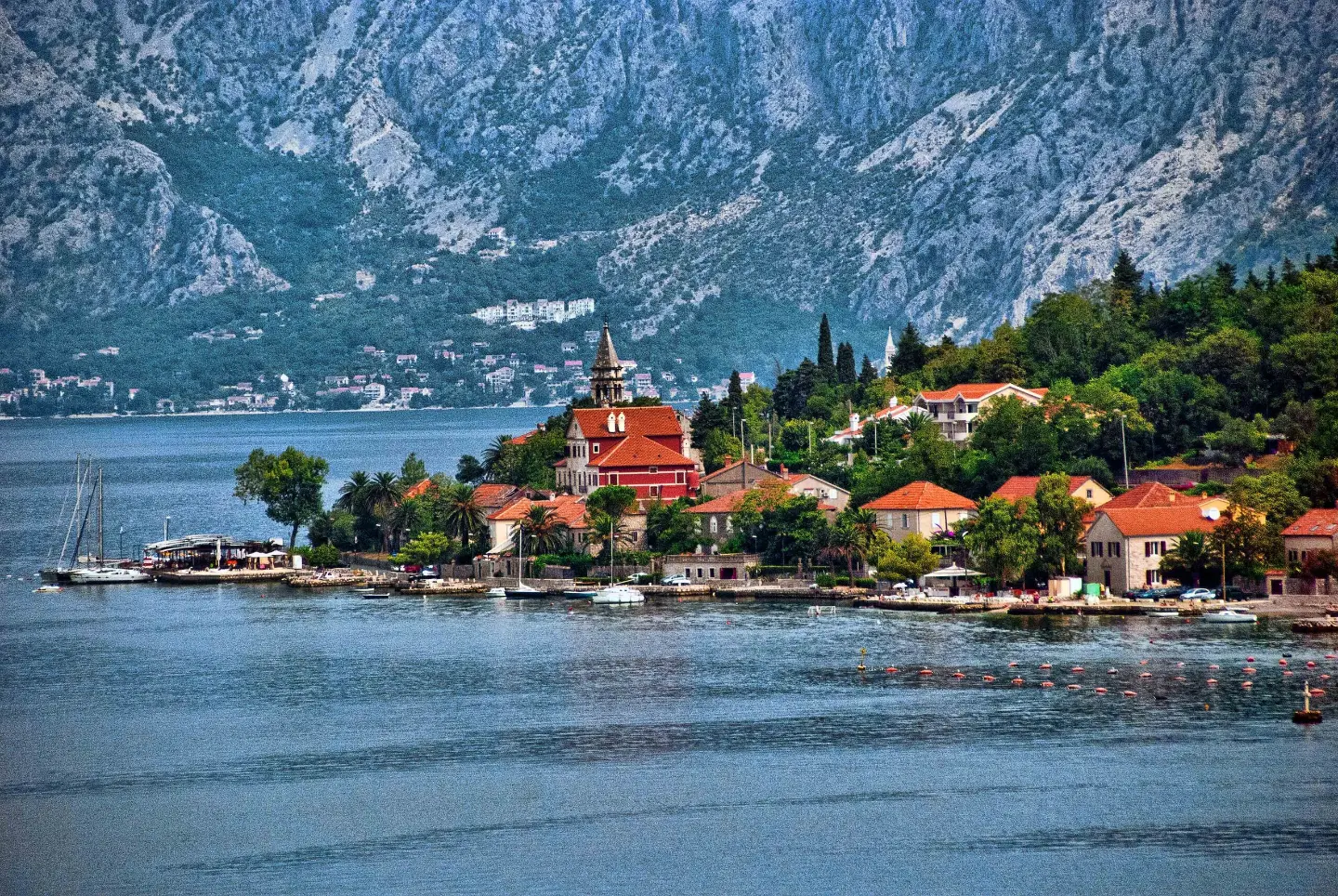
Marked hiking trail one way: from the Dobrota waterfront with 799 m of ascent to 798 m a.s.l.
Trail 748 is a marked one-way hiking tour, 4.7 km long. It starts at the Dobrota waterfront, with a total ascent of 799 m and the highest point at 798 m a.s.l.
Trail 748 is a one-way hiking and walking tour. It starts in the waterfront area of Dobrota, near the 'United Nations-Dobrota' bus stop and parking area. The lowest point is at 10 m a.s.l., and the starting station is at 12 m a.s.l. From there the trail climbs almost continuously – the total ascent is 799 m, while the descent is only 17 m.
The length is 4.7 km, and the estimated duration without breaks is 3 h 15 min. The surface is mostly rocky (69 %), with asphalt/concrete (31 %). The trail is marked.
At 0.5 km from the start it passes the 'School Centre' bus stop at 46 m a.s.l. The highest point is at 798 m a.s.l. Nearby are Dobrota, Prčanj and Kotor, and Dobrota beach is about 0.9 km from the start.
The trail is of moderate difficulty and suitable for hikers with moderate fitness. Because it is one way, plan your return in advance.
Co oznacza ten poziom trudności
Dłuższe lub bardziej strome odcinki i nierówny teren. Potrzebna podstawowa kondycja, solidne buty i trochę doświadczenia w górach.
Przesuwaj po profilu, by śledzić trasę na mapie; włącz 3D, aby zobaczyć ukształtowanie terenu.
↑ 799 m · ↓ 17 m · najwyższy punkt 798 m
Po drodze
Start at the 'United Nations-Dobrota' bus stop (12 m a.s.l.) and parking area.
The total ascent is 799 m, and the descent only 17 m.
Located 0.5 km from the start, at 46 m a.s.l.
Kotor is about 1.5 km from the trail, Prčanj about 1.0 km, and Dobrota about 0.9 km.
Wear hiking boots or trainers with good grip – the majority of the trail is rocky.
Bring enough water, especially during the warmer part of the year.
Set off early in the morning, particularly in summer, to avoid the greatest heat along the waterfront.
Check the weather forecast before departure; in the event of a thunderstorm do not linger at exposed elevations.
The trail is one way – arrange your return journey or transport back to the starting point in advance.
On rocky sections watch your step and stability. During thunderstorms or fog do not linger at exposed points. For emergencies in Montenegro call 112.
Numer alarmowy w Czarnogórze: 112.
Warto wiedzieć
Najlepsza pora
Due to its waterfront start and altitude of up to 798 m a.s.l., the trail is passable for most of the year. In summer the lower section is hot, so it is best to set off early in the morning.
Dojazd
The trailhead is reached at the 'United Nations-Dobrota' bus stop (12 m a.s.l.), where there is also a parking area at 0.0 km from the start.
It is 4.7 km long and runs in one direction.
The estimated duration without breaks is 3 h 15 min.
It is of moderate difficulty, with a total ascent of 799 m and a descent of 17 m.
Yes, the trail is marked.

406 km↑ 10 191 m6–8 dni

195 km↑ 3259 m2–3 dni
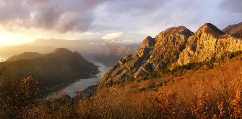
4,8 km↑ 1074 m4–5½ godz.
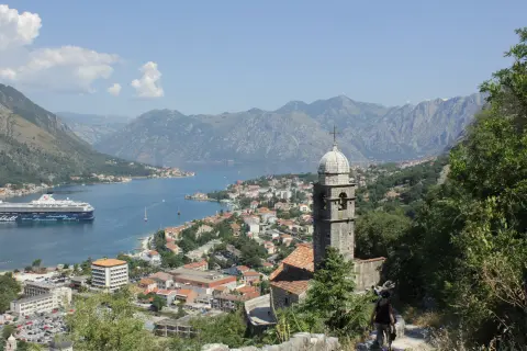
16,1 km↑ 1418 m6–8 godz.
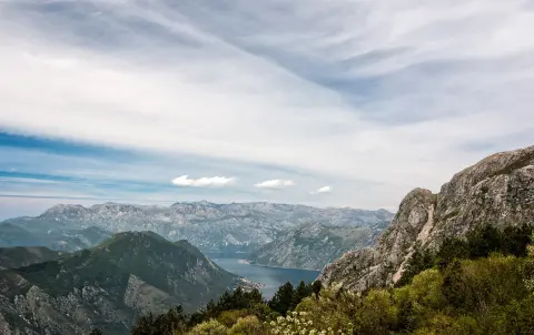
1,4 km↑ 93 m30–40 min
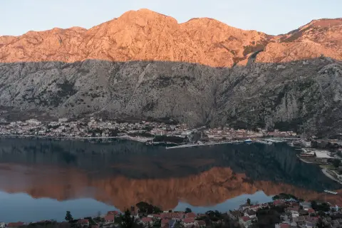
4,7 km↑ 473 m2–2½ godz.
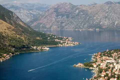
0,4 km↑ 50 m15–20 min
Pętla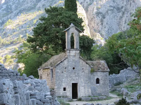
Czasy i stopnie trudności są szacunkowe. Warunki się zmieniają: przed wyjściem sprawdź pogodę i lokalne informacje.

Zapytaj o Czarnogórę
Zapytaj mnie o destynacje, restauracje lub aktywności.
