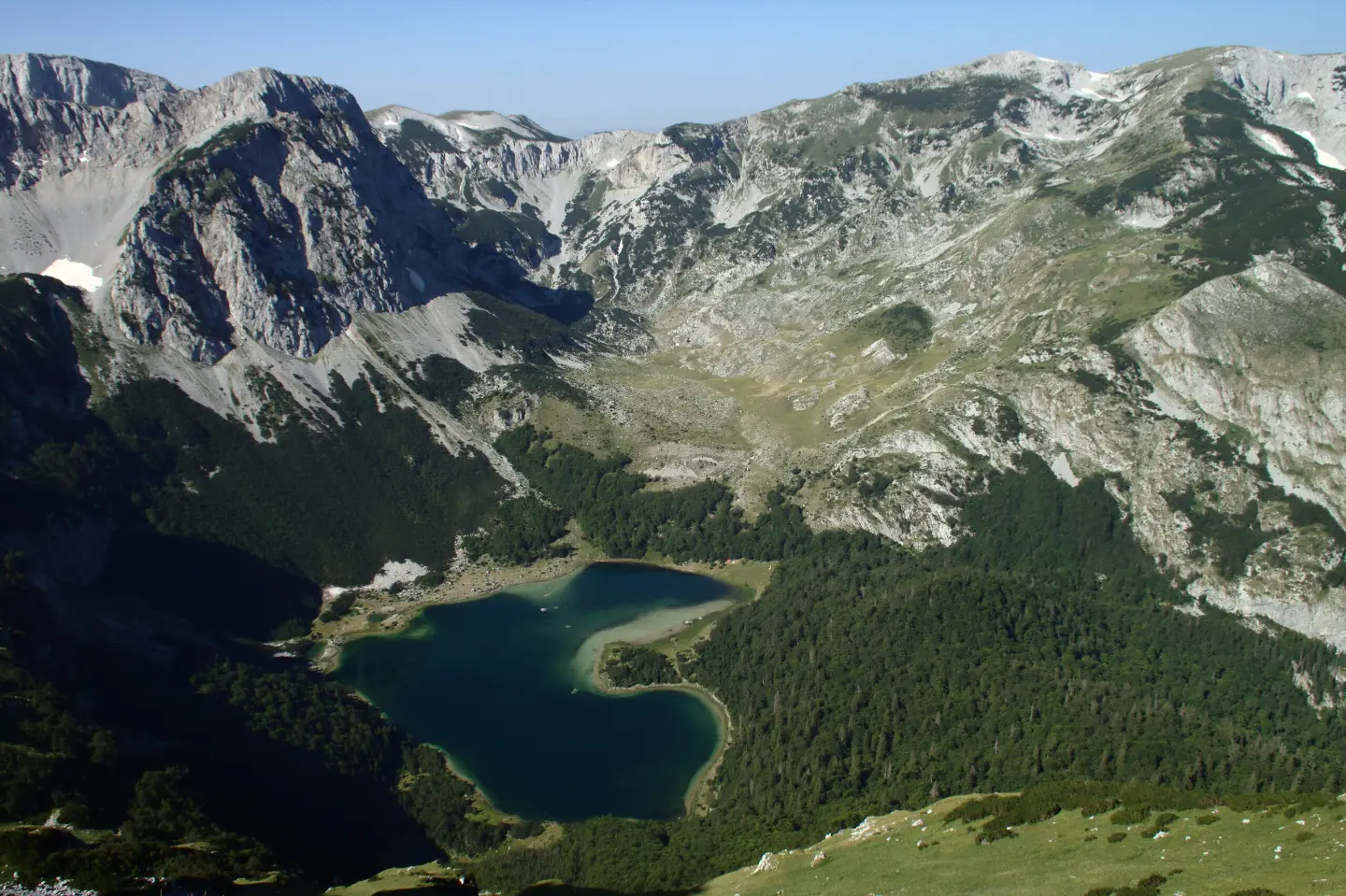
Multi-day hiking tour from Maglić to Pivska planina through Piva Canyon, 23.1 km long.
A very demanding multi-day one-way hiking tour, 23.1 km long; total ascent is 1,562 m and total descent is 1,774 m. It leads from Maglić past viewpoints, springs and shelters to Pivska planina; the highest point is at 2,142 m a.s.l.
The tour begins near Trnovačko jezero, and right at the start there is a mountain hut/cabin at 1,535 m a.s.l. The first section leads past viewpoints and springs, including the Carev Do viewpoint at 2,134 m a.s.l. and the highest point of the tour at 2,142 m a.s.l.
After the mountain section, the trail descends toward Piva Canyon and further toward Pivska planina. Along the route there is a shelter called "Cave for tents" at 1,713 m a.s.l., a tent campsite at 1,898 m a.s.l., and several fountains and springs at various altitudes.
The surface is mixed: 48% asphalt/concrete and 48% dirt/forest trail. Due to its length of 23.1 km, total ascent of 1,562 m and descent of 1,774 m, the tour is very demanding and intended for experienced hikers. The trail is marked with red-and-white hiking markers. The estimated walking time without breaks is 11 hours and 40 minutes, so it should be planned as a multi-day one-way tour.
Co oznacza ten poziom trudności
Bardzo długi lub wysokogórski teren, gdzie mogą być potrzebne ręce, z niewieloma możliwościami odwrotu. Tylko dla doświadczonych alpinistów przy stabilnej pogodzie.
Skala trudności SAC T2 (skala T1–T6).
Miejsca na trasie
Przesuwaj po profilu, by śledzić trasę na mapie; włącz 3D, aby zobaczyć ukształtowanie terenu.
↑ 1562 m · ↓ 1774 m · najwyższy punkt 2142 m
Po drodze
The closest landmark to the trailhead, approximately 0.3 km from the starting point; a natural starting point for the tour.
Located at 2,134 m a.s.l., approximately 2.3 km from the start; it opens up views of the surrounding mountain terrain.
Only 0.1 km from the start, at 1,535 m a.s.l.; a useful spot for preparation or accommodation.
A shelter at 1,713 m a.s.l. (5.0 km) and a tent campsite at 1,898 m a.s.l. (3.9 km) make multi-day hiking possible.
There are several springs and fountains along the trail, including a fountain at 1,072 m a.s.l. and a spring at 786 m a.s.l.
Wear high hiking boots and layered clothing; the terrain is mixed and demanding.
Although there are springs and fountains along the trail, carry enough water for the initial ascent and check whether the springs are active.
Set off early in the morning and plan the tour as a multi-day trip, with an overnight stay at the shelter or campsite.
Check the weather forecast; above 2,000 m sudden weather changes are possible.
Carry a map or GPS, even though the trail is marked with red-and-white hiking markers.
At altitudes of up to 2,142 m a.s.l., rapid weather changes, fog and thunderstorms are possible. Carry a mobile phone, a map or GPS, and in case of an emergency call 112.
Numer alarmowy w Czarnogórze: 112.
Warto wiedzieć
Najlepsza pora
The best period for this tour is from late spring to early autumn, when the high-altitude trails are generally passable. Snow may linger on the highest sections until July, so check conditions before setting out.
Dojazd
The trailhead is located approximately 0.3 km from Trnovačko jezero. Before departing, check access and parking in that area.
The trail is 23.1 km long and runs in one direction.
The estimated walking time without breaks is 11 hours and 40 minutes; due to its length, multi-day planning is recommended.
The trail is very demanding and intended for experienced hikers; according to the SAC scale, it carries the rating T2.
Yes, the trail is marked with red-and-white hiking markers.
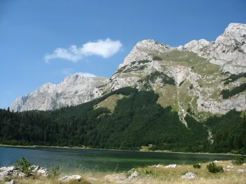
0,7 km10–10 min
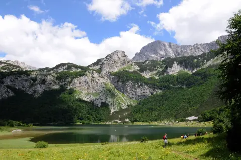
4,0 km↑ 628 m2½–3 godz.
2,3 km↑ 14 m1½–2 godz.
2,2 km45–65 min
1,0 km↑ 98 m25–35 min
0,9 km35–50 min
1,7 km↑ 225 m50–70 min
2,3 km↑ 69 m50–70 min
Czasy i stopnie trudności są szacunkowe. Warunki się zmieniają: przed wyjściem sprawdź pogodę i lokalne informacje.

Zapytaj o Czarnogórę
Zapytaj mnie o destynacje, restauracje lub aktywności.
