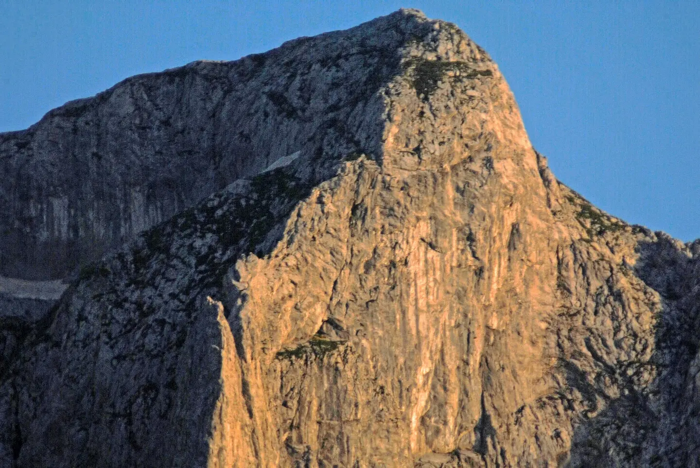
An easier hiking trail in Prokletije National Park with two high passes and a total ascent of 1099 m.
Šekijeva Trail is a moderate one-way hiking trail in Prokletije National Park. It is 3.8 km long, with a total ascent of 1099 m and a duration of approximately 5 h without breaks.
Šekijeva Trail is an easier hiking trail in Prokletije National Park, near Gusinje. It is 3.8 km long and runs in one direction, so the start and end are not at the same location. The total ascent is 1099 m, and the total descent 410 m. The lowest point of the trail is at 1153 m a.s.l., and the highest at 2187 m a.s.l.. The estimated walking time without breaks is approximately 5 h, and the difficulty is moderate (SAC T2). The surface along its entire length is a dirt or forest trail.
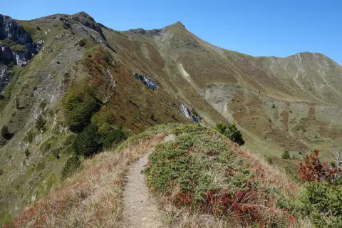
The trail is marked. At 2.5 km from the start is the pass Krošnjin prolaz (2165 m a.s.l.), and at 2.8 km the pass Krošnjina vrata (2081 m a.s.l.). Due to the elevation range of over 1000 m, the terrain changes and involves a long ascent from the start toward the highest points.
The trail is suitable for hikers with basic fitness and experience walking on mountain trails. Given the duration and ascent, plan for a full-day outing. The nearest place to the start of the trail is Gusinje, approximately 6.7 km away.
Co oznacza ten poziom trudności
Dłuższe lub bardziej strome odcinki i nierówny teren. Potrzebna podstawowa kondycja, solidne buty i trochę doświadczenia w górach.
Skala trudności SAC T2 (skala T1–T6).
Miejsca na trasie
Przesuwaj po profilu, by śledzić trasę na mapie; włącz 3D, aby zobaczyć ukształtowanie terenu.
↑ 1099 m · ↓ 410 m · najwyższy punkt 2187 m
Po drodze
The trail is located within Prokletije National Park, near Gusinje.
Located 2.5 km from the start of the trail, at 2165 m a.s.l.
Located 2.8 km from the start of the trail, at 2081 m a.s.l.
Wear hiking boots with good soles – the trail is dirt/forest and can be slippery on the ascent.
Bring enough water and food; the walking time without breaks is approximately 5 h.
Set off early in the morning, especially in summer, to avoid the hottest part of the day.
Check the weather forecast before departure; at altitudes of up to 2187 m the weather changes quickly.
The trail is one-way, so plan your return in advance or arrange transport.
At altitudes of up to 2187 m a.s.l., fog, strong winds, and rapid weather changes are possible. Do not leave the marked trail. Mobile signal may be weak; in an emergency call 112.
Numer alarmowy w Czarnogórze: 112.
Warto wiedzieć
Najlepsza pora
Due to the altitude, the best period is usually from late spring to early autumn, when the trails are passable and free of snow. In other months, snow and icy sections are possible.
Dojazd
The nearest place to the start of the trail is Gusinje, approximately 6.7 km away. The trail is located in Prokletije National Park.
The trail is 3.8 km long and runs in one direction.
The estimated walking time without breaks is approximately 5 hours.
The difficulty is moderate, according to the SAC scale T2; it has a total ascent of 1099 m.
In Prokletije National Park, and the nearest place to the start of the trail is Gusinje, approximately 6.7 km away.
8,8 km↑ 279 m60–85 min
2,3 km1½–2 godz.
0,9 km↑ 302 m55–80 min
5,6 km↑ 434 m2–2½ godz.
1,3 km↑ 67 m45–65 min
1,7 km↑ 144 m45–60 min
25,3 km↑ 571 m2½–3½ godz.
PętlaCzasy i stopnie trudności są szacunkowe. Warunki się zmieniają: przed wyjściem sprawdź pogodę i lokalne informacje.

Zapytaj o Czarnogórę
Zapytaj mnie o destynacje, restauracje lub aktywności.
