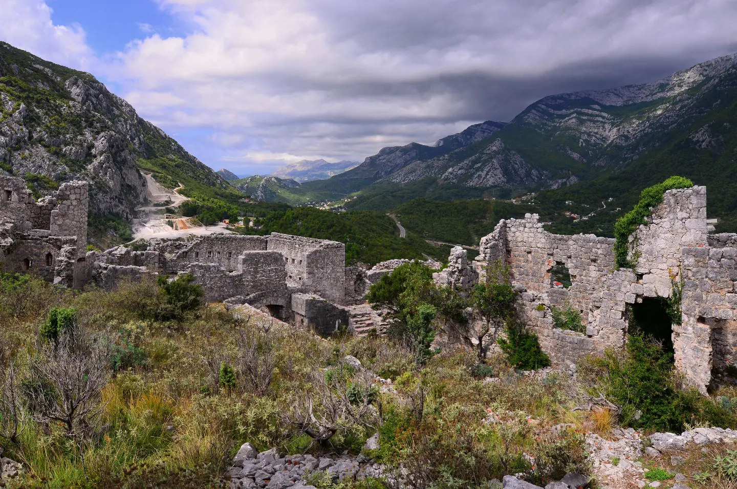
A short hiking tour over mixed terrain to Haj-Nehaj Fortress.
The hiking tour from Sutomore to Haj-Nehaj Fortress is 2.5 km long, with 206 m of ascent. The terrain is mixed, and the walk without breaks takes about 1 h 50 min.
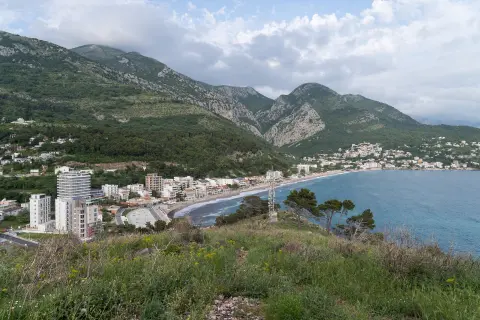
The trail leads from Sutomore to Haj-Nehaj Fortress. The nearest place to the start of the trail is Sutomore, with the beach approximately 1.1 km away. At 0.3 km from the start there is the 'Privatan Parking' car park at 23 m a.s.l.
The route is 2.5 km long and follows the same path there and back. The total ascent is 206 m and the descent 11 m; the lowest point is at 27 m a.s.l. and the highest at 227 m a.s.l. The walk without breaks takes about 1 h 50 min.
The terrain is mixed: 64% asphalt/concrete and 35% rocky terrain. The trail is of moderate difficulty (SAC T2). Near the route are Maljevik beach and Ratac beach.
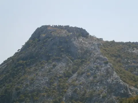
The end point is Haj-Nehaj Fortress. The tour is suitable for hikers with basic fitness; attention is required on the rocky sections.
Co oznacza ten poziom trudności
Dłuższe lub bardziej strome odcinki i nierówny teren. Potrzebna podstawowa kondycja, solidne buty i trochę doświadczenia w górach.
Skala trudności SAC T2 (skala T1–T6).
Przesuwaj po profilu, by śledzić trasę na mapie; włącz 3D, aby zobaczyć ukształtowanie terenu.
↑ 206 m · ↓ 11 m · najwyższy punkt 227 m
Po drodze
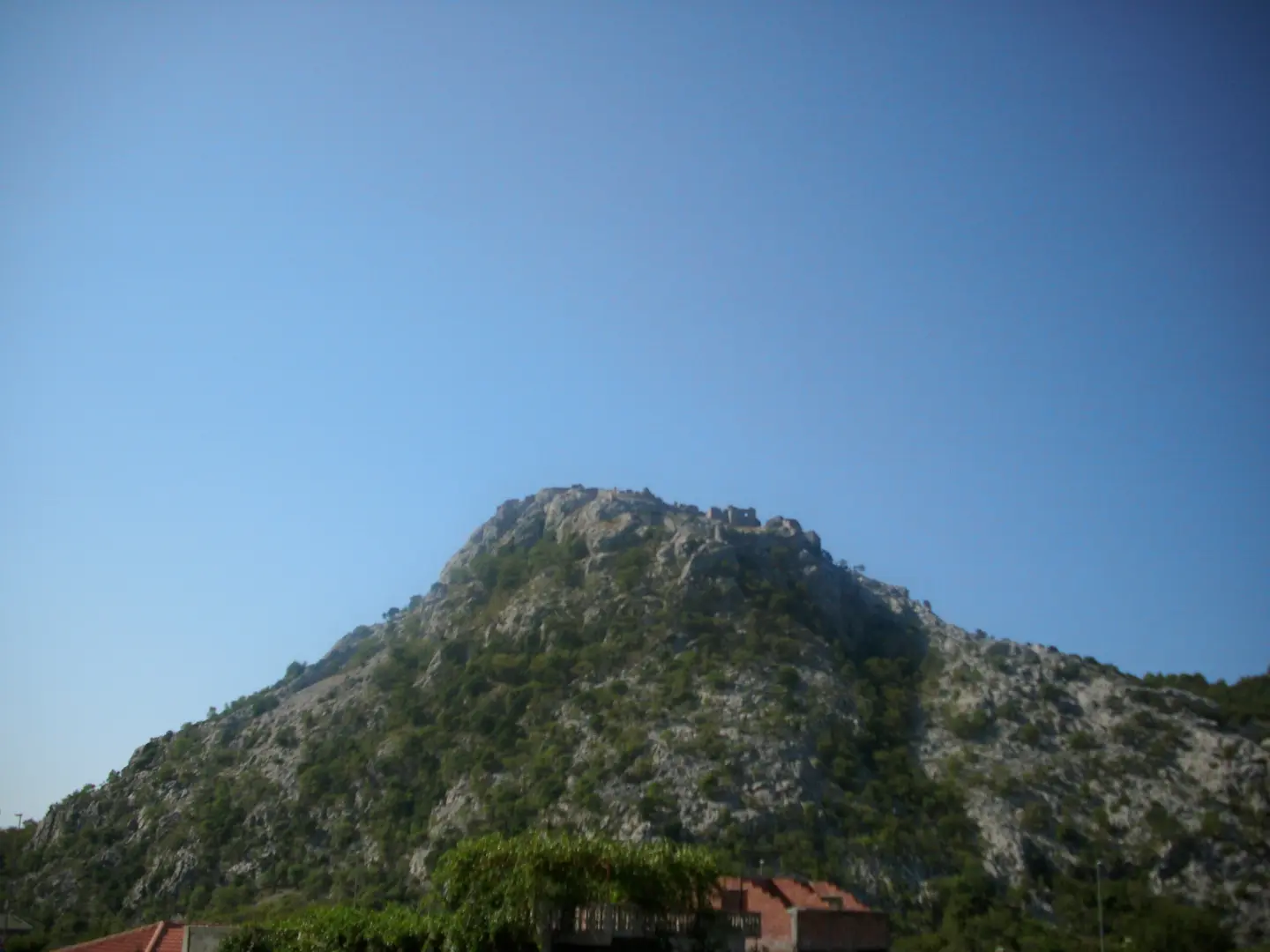
The end point of the trail.
A point of interest at 0.3 km from the start of the trail, at 23 m a.s.l.
Near the trail, about 1.1 km from it.
A beach near the trail, about 2.1 km from it.
Wear sturdy hiking footwear due to the rocky terrain.
Bring enough water; there are no noted water sources on the trail.
Check weather conditions before setting out.
The 'Privatan Parking' car park at 0.3 km from the start is convenient for departure.
In warmer months, set out earlier and bring more water.
The trail is of moderate difficulty (T2) and partly rocky. Adjust your pace to the conditions and avoid setting out during thunderstorms. In case of emergency, call 112.
Numer alarmowy w Czarnogórze: 112.
Warto wiedzieć
Najlepsza pora
The best period is from January to June and from September to December.
Dojazd
The nearest place to the start of the trail is Sutomore; the beach is about 1.1 km from the start of the trail. At 0.3 km from the start of the trail there is the 'Privatan Parking' car park.
The trail is 2.5 km long.
The estimated duration without breaks is 1 h 50 min.
The difficulty is moderate, on the SAC hiking scale T2.
January, February, March, April, May, June, September, October, November and December.
9,3 km↑ 366 m4–5½ godz.
5,9 km↑ 70 m2–2½ godz.
0,4 km10–10 min
0,4 km↑ 52 m15–20 min
0,9 km↑ 166 m35–50 min
0,4 km10–10 min
17,0 km↑ 847 m6½–9 godz.
4,1 km↑ 87 m1½–2½ godz.
Czasy i stopnie trudności są szacunkowe. Warunki się zmieniają: przed wyjściem sprawdź pogodę i lokalne informacje.

Zapytaj o Czarnogórę
Zapytaj mnie o destynacje, restauracje lub aktywności.
