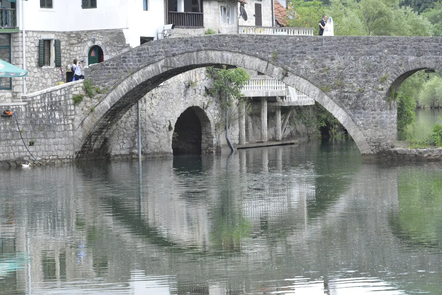
A one-way hiking tour through Skadar Lake National Park with a waterfall, spring, and campsite at the end.
Trail 792B leads from Komarno to Rijeka Crnojevića through Skadar Lake National Park. The length is 10.1 km, with 386 m of ascent and 611 m of descent; it passes by a waterfall and a spring.
Trail 792B Komarno – Rijeka Crnojevića is a one-way hiking tour in Skadar Lake National Park. It is 10.1 km long, with a total ascent of 386 m and descent of 611 m. The estimated walking time without breaks is 3 h 45 min.
The terrain is mixed: dirt and forest trail accounts for 40%, gravel road 33%, and asphalt/concrete 27%. The highest point is at 339 m a.s.l., and the lowest at 4 m a.s.l. The trail is marked. At 2.9 km from the start there is a waterfall, and at 5.1 km a spring.
The trail ends in Rijeka Crnojevića. There, at 8 m a.s.l., there is a drinking water fountain and the campsite 'Camping Rijeka Crnojevica'. The trail is of moderate difficulty and suitable for hikers with a basic level of fitness. Due to its one-way nature, plan for transportation or a return journey.
Çfarë do të thotë kjo vështirësi
Pjesë më të gjata ose më të pjerrëta dhe terren i pabarabartë. Nevojitet formë fizike bazë, këpucë të forta dhe pak përvojë në mal.
Lëviz përgjatë profilit për ta ndjekur itinerarin në hartë; aktivizo 3D për relievin.
↑ 386 m · ↓ 611 m · pika më e lartë 339 m
Gjatë rrugës
A brief rest by the waterfall in the early section of the trail.
A natural spring at 247 m a.s.l., roughly at the halfway point of the tour.
At the end of the trail, at 8 m a.s.l., there is a drinking water fountain and the campsite 'Camping Rijeka Crnojevica'.
The trail passes through Skadar Lake National Park.
Bring enough water, especially in warm months; the drinking water fountain is only at the end of the trail.
Wear hiking boots or trainers with a stiffer sole due to the mixed surface (dirt, gravel, asphalt).
Check the weather forecast before setting off; after rain, the forest and dirt sections can be slippery.
Plan for a return journey or transportation, as the trail is not a loop and ends in Rijeka Crnojevića.
Set off earlier in the morning, especially in summer, given the length of 10.1 km and possible heat.
Dirt and forest sections may be slippery after rain. Avoid exposure to lightning in open terrain. In case of an accident or danger, call 112.
Numri i emergjencës në Mal të Zi: 112.
Mirë të dihet
Sezoni më i mirë
The most pleasant period for this tour is spring and autumn, when temperatures are moderate. In summer, set off early in the morning and bring enough water.
Si të shkosh
The start of the trail is reached from Komarno. The nearest listed point to the start of the trail is Tvrđava Lesendro, approximately 5.2 km away.
The trail is 10.1 km long and runs in one direction, from Komarno to Rijeka Crnojevića.
The estimated walking time without breaks is 3 h 45 min.
The difficulty is moderate. The total ascent is 386 m and the descent is 611 m; the highest point is at 339 m a.s.l. and the lowest at 4 m a.s.l.
No, the trail goes in one direction, so you need to plan your return or transportation.
2,7 km↑ 32 m50–70 min
3,1 km↑ 110 m55–80 min
Rreth
195 km↑ 3259 m2–3 ditë
1,3 km↑ 11 m30–40 min
5,0 km↑ 176 m1½–2 orë
4,7 km↑ 249 m1½–2 orë
4,0 km↑ 156 m1–1½ orë
Rreth
11,4 km↑ 62 m2½–4 orë
Kohët dhe shkallët e vështirësisë janë të përafërta. Kushtet ndryshojnë: kontrollo motin dhe informacionin vendor para se të nisesh.

Pyesni per Malin e Zi
Pyesni per destinacione, restorante ose aktivitete.
