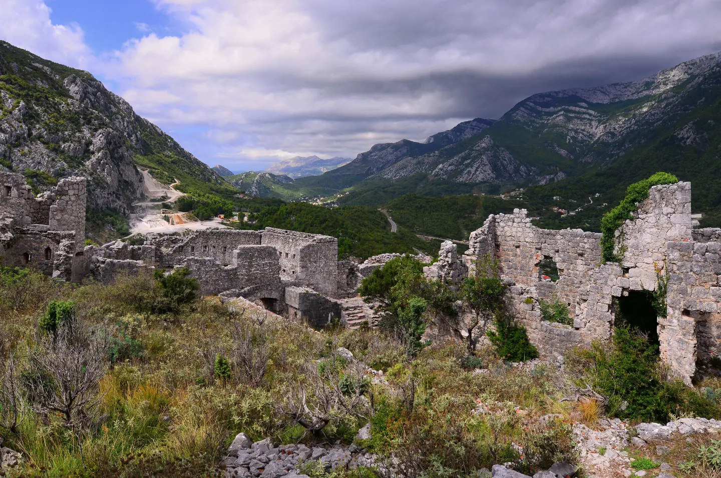
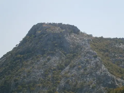
A short hiking tour over mixed terrain to Haj-Nehaj Fortress.
The hiking tour from Sutomore to Haj-Nehaj Fortress is 2.5 km long, with 206 m of ascent. The terrain is mixed, and the walk without breaks takes about 1 h 50 min.
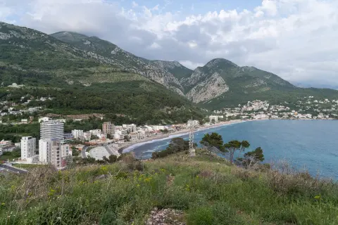
The trail leads from Sutomore to Haj-Nehaj Fortress. The nearest place to the start of the trail is Sutomore, with the beach approximately 1.1 km away. At 0.3 km from the start there is the 'Privatan Parking' car park at 23 m a.s.l.
The route is 2.5 km long and follows the same path there and back. The total ascent is 206 m and the descent 11 m; the lowest point is at 27 m a.s.l. and the highest at 227 m a.s.l. The walk without breaks takes about 1 h 50 min.
The terrain is mixed: 64% asphalt/concrete and 35% rocky terrain. The trail is of moderate difficulty (SAC T2). Near the route are Maljevik beach and Ratac beach.
The end point is Haj-Nehaj Fortress. The tour is suitable for hikers with basic fitness; attention is required on the rocky sections.
Çfarë do të thotë kjo vështirësi
Pjesë më të gjata ose më të pjerrëta dhe terren i pabarabartë. Nevojitet formë fizike bazë, këpucë të forta dhe pak përvojë në mal.
Shkalla e ecjes malore SAC T2 (shkalla T1–T6).
Vende në këtë itinerar
Lëviz përgjatë profilit për ta ndjekur itinerarin në hartë; aktivizo 3D për relievin.
↑ 206 m · ↓ 11 m · pika më e lartë 227 m
Gjatë rrugës
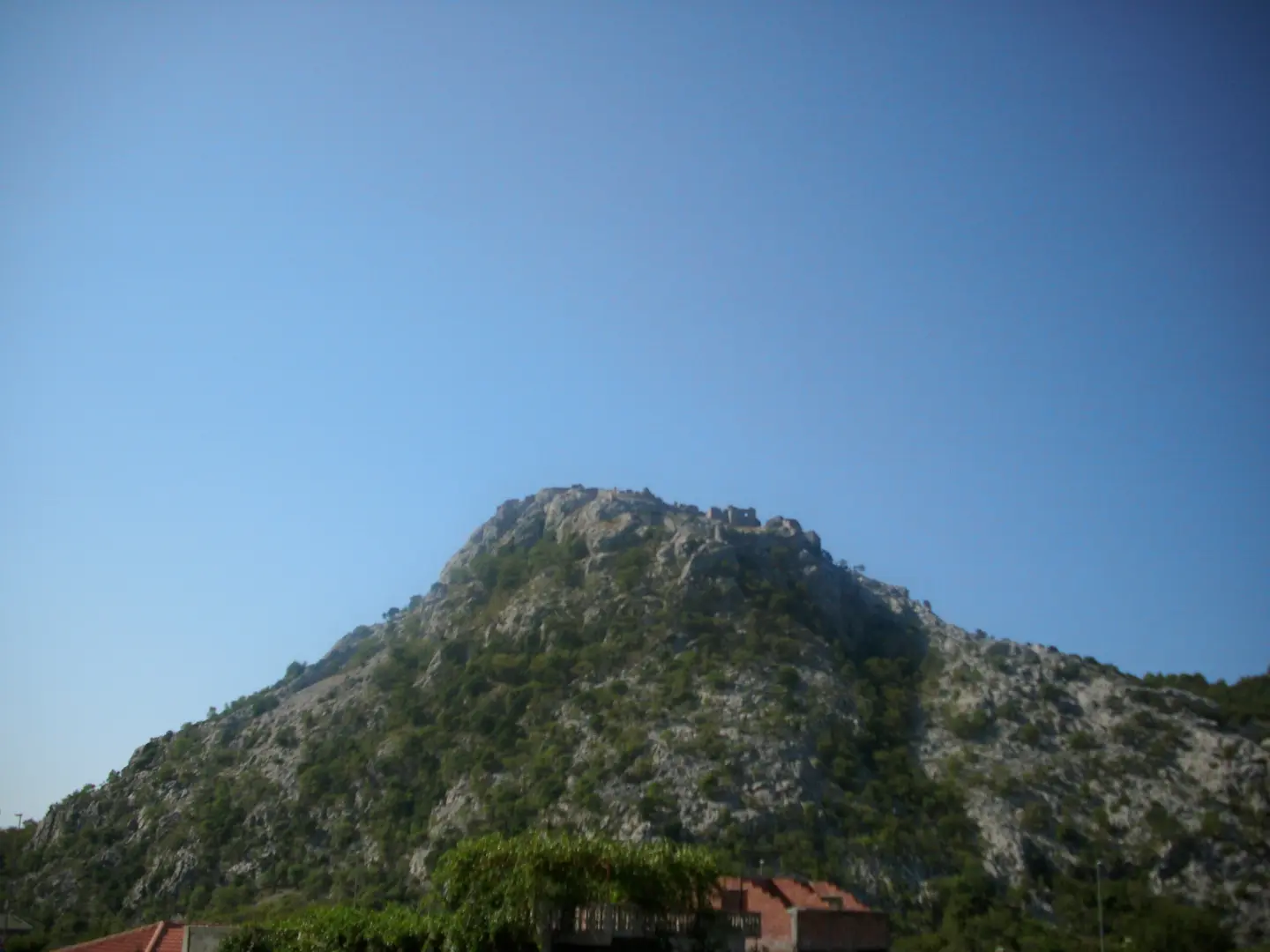
The end point of the trail.
A point of interest at 0.3 km from the start of the trail, at 23 m a.s.l.
Near the trail, about 1.1 km from it.
A beach near the trail, about 2.1 km from it.
Wear sturdy hiking footwear due to the rocky terrain.
Bring enough water; there are no noted water sources on the trail.
Check weather conditions before setting out.
The 'Privatan Parking' car park at 0.3 km from the start is convenient for departure.
In warmer months, set out earlier and bring more water.
The trail is of moderate difficulty (T2) and partly rocky. Adjust your pace to the conditions and avoid setting out during thunderstorms. In case of emergency, call 112.
Numri i emergjencës në Mal të Zi: 112.
Mirë të dihet
Sezoni më i mirë
The best period is from January to June and from September to December.
Si të shkosh
The nearest place to the start of the trail is Sutomore; the beach is about 1.1 km from the start of the trail. At 0.3 km from the start of the trail there is the 'Privatan Parking' car park.
The trail is 2.5 km long.
The estimated duration without breaks is 1 h 50 min.
The difficulty is moderate, on the SAC hiking scale T2.
January, February, March, April, May, June, September, October, November and December.
9,3 km↑ 366 m4–5½ orë
5,9 km↑ 70 m2–2½ orë
0,4 km10–10 min
0,4 km↑ 52 m15–20 min
0,9 km↑ 166 m35–50 min
0,4 km10–10 min
17,0 km↑ 847 m6½–9 orë
4,1 km↑ 87 m1½–2½ orë
Kohët dhe shkallët e vështirësisë janë të përafërta. Kushtet ndryshojnë: kontrollo motin dhe informacionin vendor para se të nisesh.

Pyesni per Malin e Zi
Pyesni per destinacione, restorante ose aktivitete.
