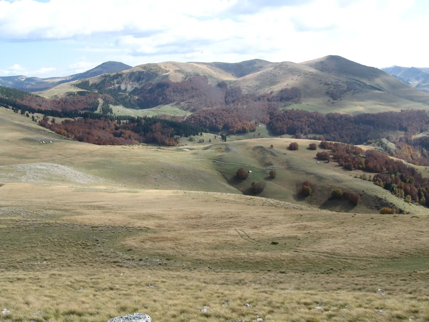
A hiking trail 18.7 km long through Bjelasica, with a significant descent and a starting point near Šiško Lake.
The Katun Road – Untold Bjelasica trail is 18.7 km long and runs one-way through Bjelasica. Total ascent is 149 m and descent 1203 m; the highest point is 1785 m a.s.l.
The Katun Road – Untold Bjelasica trail runs one-way through Bjelasica. The trail length is 18.7 km, total ascent 149 m, and total descent 1203 m. Estimated duration without breaks is 6 h 5 min. The starting point is in the area near Šiško Lake.
The terrain is mainly asphalt/concrete (51%) and gravel road (43%), with a smaller section of dirt/forest trail (5%). The trail is marked. At 2.4 km from the start is the Govedarice summit (1792 m a.s.l.). The highest point of the trail is at 1785 m a.s.l., and the lowest at 597 m a.s.l.
Along the way there are drinking water fountains: 'Bijela voda' at 9.8 km (1171 m a.s.l.), a fountain at 14.3 km (844 m a.s.l.), and a fountain at 15.9 km (777 m a.s.l.). Near the trail are Bijelo Polje, Mojkovac, and Pešića Lake.
According to our scale the trail is demanding, and T1 on the SAC scale. It is suitable for hikers with good fitness and equipment for long tours.
Bu zorluk derecesi ne anlama geliyor
Dik, kayalık veya açık geçişler ve uzun bir gün. Formda, adımından emin ve dağ deneyimi olan yürüyüşçüler için.
SAC dağ yürüyüşü derecesi T1 (T1–T6 ölçeği).
Rotayı haritada takip etmek için profil üzerinde gezinin; araziyi görmek için 3D'yi açın.
↑ 149 m · ↓ 1.203 m · en yüksek nokta 1.785 m
Yol boyunca
Point of interest at 2.4 km from the start of the trail; the summit is at 1792 m a.s.l.
Drinking water at 9.8 km from the start of the trail.
Drinking water along the trail.
The nearest place to the start of the trail, in the Bjelasica area.
A lake near the trail, approximately 8.9 km away.
Bring enough water; fountains are at 9.8 km, 14.3 km, and 15.9 km, but stock up before setting off as well.
Plan for a full-day outing: 18.7 km and 6 h 5 min without breaks; set off early.
Wear layered clothing and a waterproof jacket, as the highest point of the trail is at 1785 m a.s.l.
Wear comfortable shoes suitable for long sections of asphalt and gravel road.
Check the weather forecast before departure and monitor changing weather conditions.
In the mountains the weather can change quickly; bring rain gear and warm clothing. In case of fog, follow the trail markers and do not leave the trail. In emergencies call 112.
Karadağ'da acil durum numarası: 112.
Bilmekte fayda var
En iyi mevsim
The best period is from late spring to early autumn, when the higher sections of the trail are passable. In winter and early spring there may be snow at altitudes up to 1785 m a.s.l.
Nasıl gidilir
The nearest place to the start of the trail is Šiško Lake (about 4.1 km). Bijelo Polje is about 5.9 km away, and Mojkovac about 6.8 km from the trail.
The trail length is 18.7 km and it runs one-way.
Without breaks it is estimated at 6 h 5 min; plan for more time if you include breaks.
On our scale it is demanding, and according to the SAC scale T1; the main challenges are the length and the descent of 1203 m.
Fountains are at 9.8 km ('Bijela voda'), 14.3 km and 15.9 km from the start.

143 km↑ 5.436 m6–9 gün
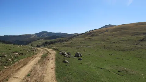
41,4 km↑ 1.496 m2–3 gün
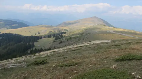
22,8 km↑ 1.540 m7½–10½ sa
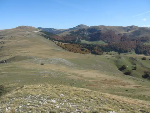
39,0 km↑ 1.580 m5–7 sa
78,8 km↑ 2.501 m3–5 gün

399 km↑ 9.352 m5–8 gün
11,3 km↑ 616 m3½–5 sa

262 km↑ 6.918 m4–5 gün
Süreler ve dereceler tahminidir. Koşullar değişir: yola çıkmadan önce hava durumunu ve yerel bilgileri kontrol edin.

Karadağ hakkında sorun
Destinasyonlar, restoranlar veya aktiviteler hakkında sorun.
