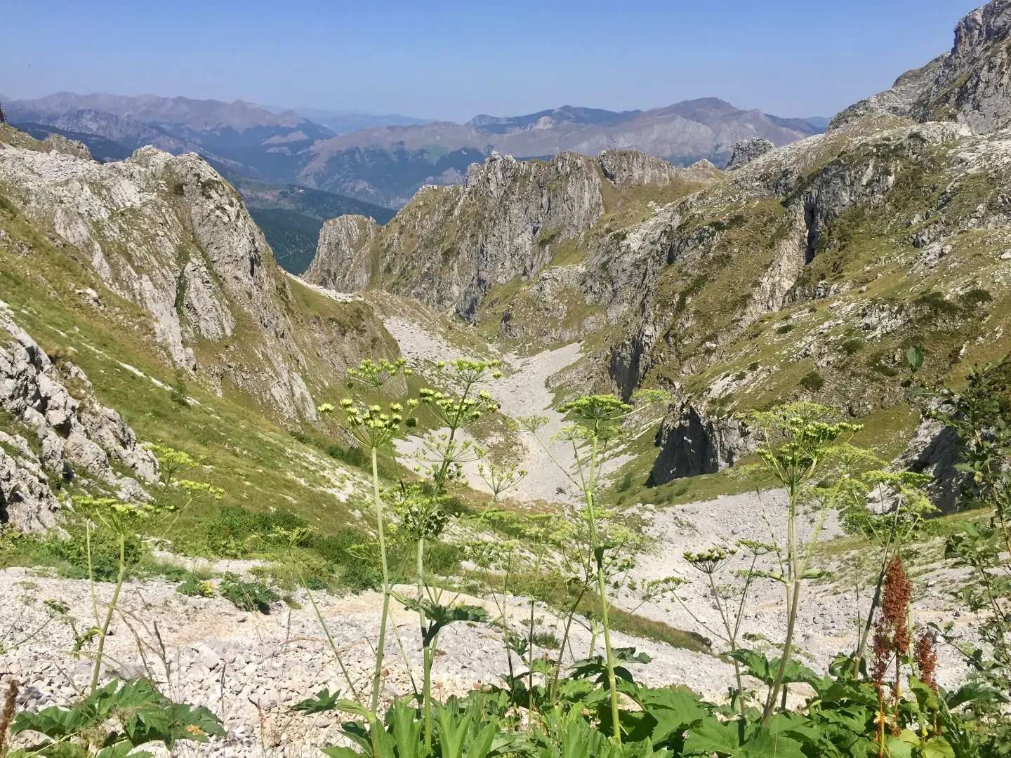
A short but very demanding hiking trail with two viewpoints in the heart of Prokletije.
One-way, 1.3 km long, with a total ascent of 67 m and descent of 265 m. Leads from the Krošnjin prolaz pass (2165 m a.s.l.) past two viewpoints through Prokletije National Park.
The trail begins at the "Krošnjin prolaz" pass at 2165 m a.s.l. The highest point of the route is at 2187 m a.s.l. and the lowest at 1967 m a.s.l. The total ascent is 67 m and the total descent is 265 m. At 0.8 km from the start there is a viewpoint at 2022 m a.s.l., and at 0.9 km a second viewpoint at 2028 m a.s.l.
The surface is 100% dirt/forest trail. Although the distance is short, the terrain is mountainous and the trail is rated as very demanding (SAC T4), intended for experienced hikers. Sure-footed movement on uneven terrain is required.
Offers views from two viewpoints and passage through Prokletije National Park. Duration without breaks is approximately 55 minutes. Since the trail is one-way, plan your return or transport in advance.
Bu zorluk derecesi ne anlama geliyor
Ellerin gerekebileceği çok uzun veya alpin arazi, kaçış imkânı az. Yalnızca deneyimli dağcılar için ve sadece istikrarlı havada.
SAC dağ yürüyüşü derecesi T4 (T1–T6 ölçeği).
Bu rotadaki yerler
Rotayı haritada takip etmek için profil üzerinde gezinin; araziyi görmek için 3D'yi açın.
↑ 67 m · ↓ 265 m · en yüksek nokta 2.187 m
Yol boyunca
The starting point of the trail, a high mountain pass in Prokletije National Park.
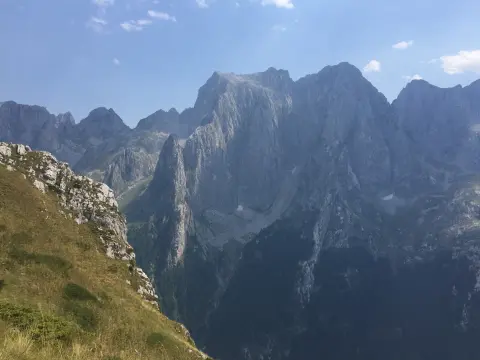
Located 0.8 km from the start, offering a view of the surrounding mountain terrain.
Situated 0.9 km from the start, a slightly higher viewpoint over Prokletije National Park.
The trail passes through the protected area of Prokletije National Park for its entire length.
The entire trail runs on a dirt/forest surface, natural in character.
Wear sturdy hiking boots with good soles; the trail is very demanding (SAC T4).
Bring enough water and food, especially during the warmer part of the day.
Check the weather forecast before setting out; at this altitude the weather changes quickly.
Start early in the morning to avoid afternoon fog or thunderstorms.
Bring layered clothing and sun protection, regardless of summer temperatures in the valley.
The trail is mountainous and very demanding (SAC T4). At this altitude, fog, rain and thunderstorms can arrive quickly, so monitor the weather forecast. In case of an emergency, call 112.
Karadağ'da acil durum numarası: 112.
Bilmekte fayda var
En iyi mevsim
The best period for this trail is usually from late spring to early autumn, when the trails are generally snow-free. Due to the altitude between 1967 and 2187 m, conditions can change rapidly.
Nasıl gidilir
The trailhead is reached from Gusinje, approximately 7.9 km away. Check the exact access road and parking before departure.
The length is 1.3 km and the estimated duration without breaks is 55 minutes.
On our scale it is very demanding / for experienced hikers, and according to the SAC hiking scale T4.
The trail is one-way, the start and end are not at the same place.
Due to the altitude of 1967 to 2187 m, the best period is usually from late spring to early autumn, when there is no snow.
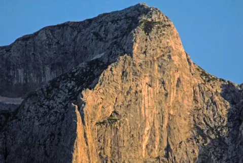
3,8 km↑ 1.099 m4½–6 sa
0,9 km↑ 302 m55–80 dk
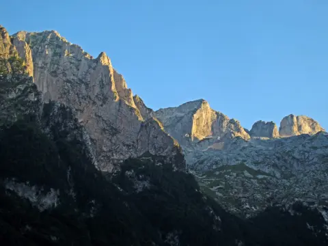
2,3 km1½–2 sa
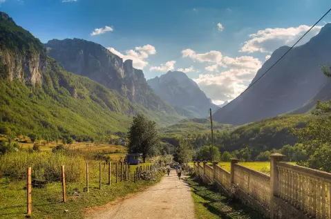
25,3 km↑ 571 m2½–3½ sa
Döngü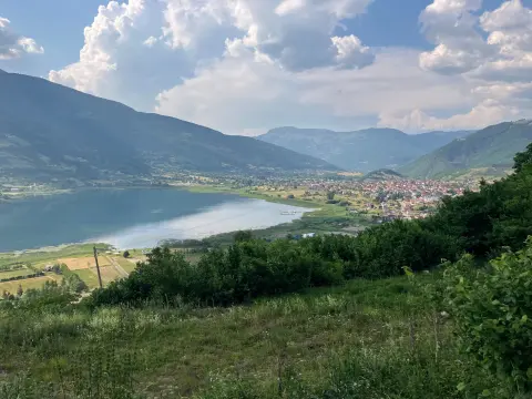
181 km↑ 9.342 m9–12 gün
Döngü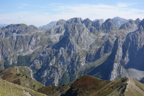
1,7 km↑ 144 m45–60 dk
8,8 km↑ 279 m60–85 dk
Süreler ve dereceler tahminidir. Koşullar değişir: yola çıkmadan önce hava durumunu ve yerel bilgileri kontrol edin.

Karadağ hakkında sorun
Destinasyonlar, restoranlar veya aktiviteler hakkında sorun.
