A short hiking tour with two viewpoints and a descent to Lepetane.
An easy one-way hiking trail, 2.1 km long. It offers two viewpoints and a descent of 355 m to the Lepetane bus stop.
Trail 757 is an easy one-way hiking trail, 2.1 km long. It starts at higher ground and ends at the 'Lepetane' bus stop, at 2 m a.s.l. The total descent is 355 m, with no ascent.
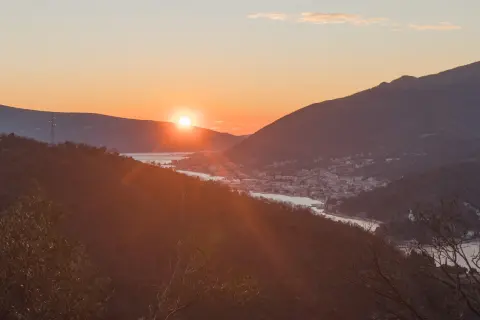
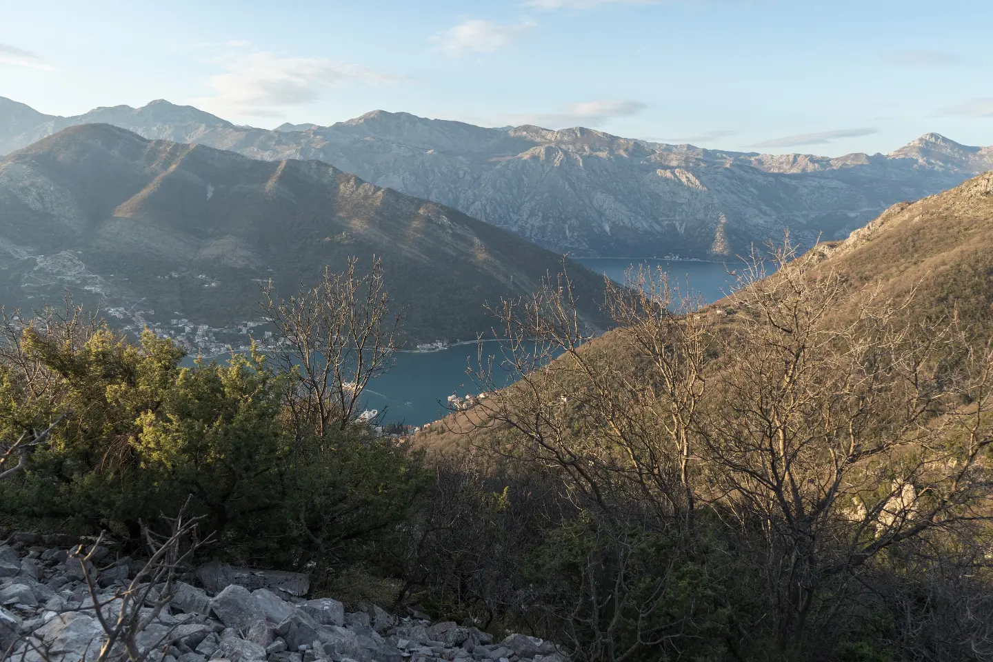
At 0.5 km from the start there is a viewpoint at 274 m a.s.l., and at 0.7 km a viewpoint at 223 m a.s.l. From these points a view of the coastal landscape opens up.
The surface is mixed: 44% rocky terrain, 41% dirt and forest trail, and 15% asphalt or concrete. The highest point of the trail is at 362 m a.s.l., and the lowest at 3 m a.s.l. The estimated walking time without breaks is about 1 hour.
Near the trail are Perast, Bijela and Bijela Beach, and the start of the trail is closest to Markov rt Beach (about 2.8 km). The trail is suitable for recreational hikers and families with a basic level of fitness.
Bu zorluk derecesi ne anlama geliyor
Hafif eğimli, bakımlı patikalar. Aileler ve birkaç saat yürümeye alışkın herkes için uygun.
Rotayı haritada takip etmek için profil üzerinde gezinin; araziyi görmek için 3D'yi açın.
↑ 0 m · ↓ 355 m · en yüksek nokta 362 m
Yol boyunca
Rota üzerindeki noktalardan fotoğraflar ve kısa videolar — açmak için dokunun.
Located 0.5 km from the start of the trail, offering a view from a higher position.
Located 0.7 km from the start of the trail, slightly lower than the first viewpoint.
The end point of the trail at 2 m a.s.l., 2.1 km from the start.
Located near the trail, about 2.5 km away.
Near the trail, about 2.5 km away.
Wear footwear with good grip due to the rocky terrain (44% of the trail).
Bring enough water, especially in the warmer part of the year.
As the trail is one-way, plan your return in advance; there is a bus stop at the end — 'Lepetane'.
Check the weather forecast – the rocky surface can be slippery after rain.
Protect yourself from the sun and wear a cap or hat.
The trail is easy, but due to the rocky terrain you should pay attention to your footing. During the summer months, avoid the hottest part of the day. In an emergency, call 112.
Karadağ'da acil durum numarası: 112.
Bilmekte fayda var
En iyi mevsim
The altitude is low (3–362 m), so the trail is suitable for most of the year. It is most pleasant in spring and autumn, when there is no summer heat.
Nasıl gidilir
The start of the trail is closest to Markov rt Beach, about 2.8 km away. The end is at the 'Lepetane' bus stop.
The trail is 2.1 km long and runs in one direction.
The estimated duration is about 1 hour, without breaks.
The trail is easy, but it has a total descent of 355 m and rocky terrain over 44 % of its length.
The highest point is at 362 m above sea level, and the lowest at 3 m above sea level.
3,4 km↑ 291 m1–1½ sa
9,5 km↑ 414 m3–4½ sa
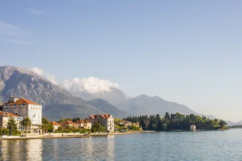
8,9 km↑ 53 m2–3 sa

195 km↑ 3.259 m2–3 gün

406 km↑ 10.191 m6–8 gün
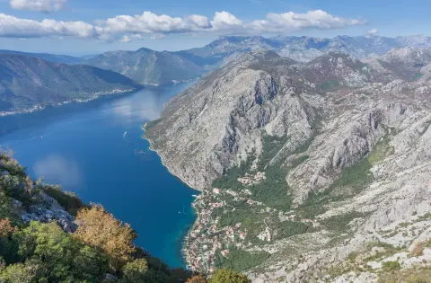
88,4 km↑ 4.606 m4–6 gün
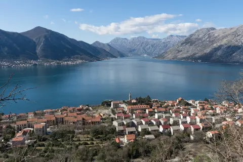
3,3 km↑ 23 m2–2½ sa
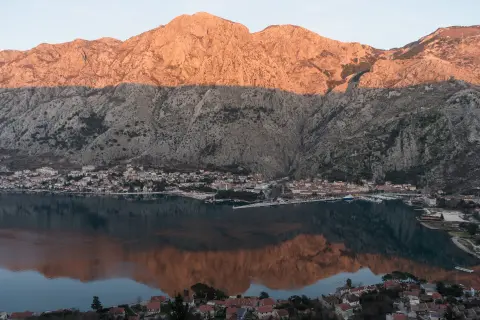
4,7 km↑ 473 m2–2½ sa
Süreler ve dereceler tahminidir. Koşullar değişir: yola çıkmadan önce hava durumunu ve yerel bilgileri kontrol edin.

Karadağ hakkında sorun
Destinasyonlar, restoranlar veya aktiviteler hakkında sorun.