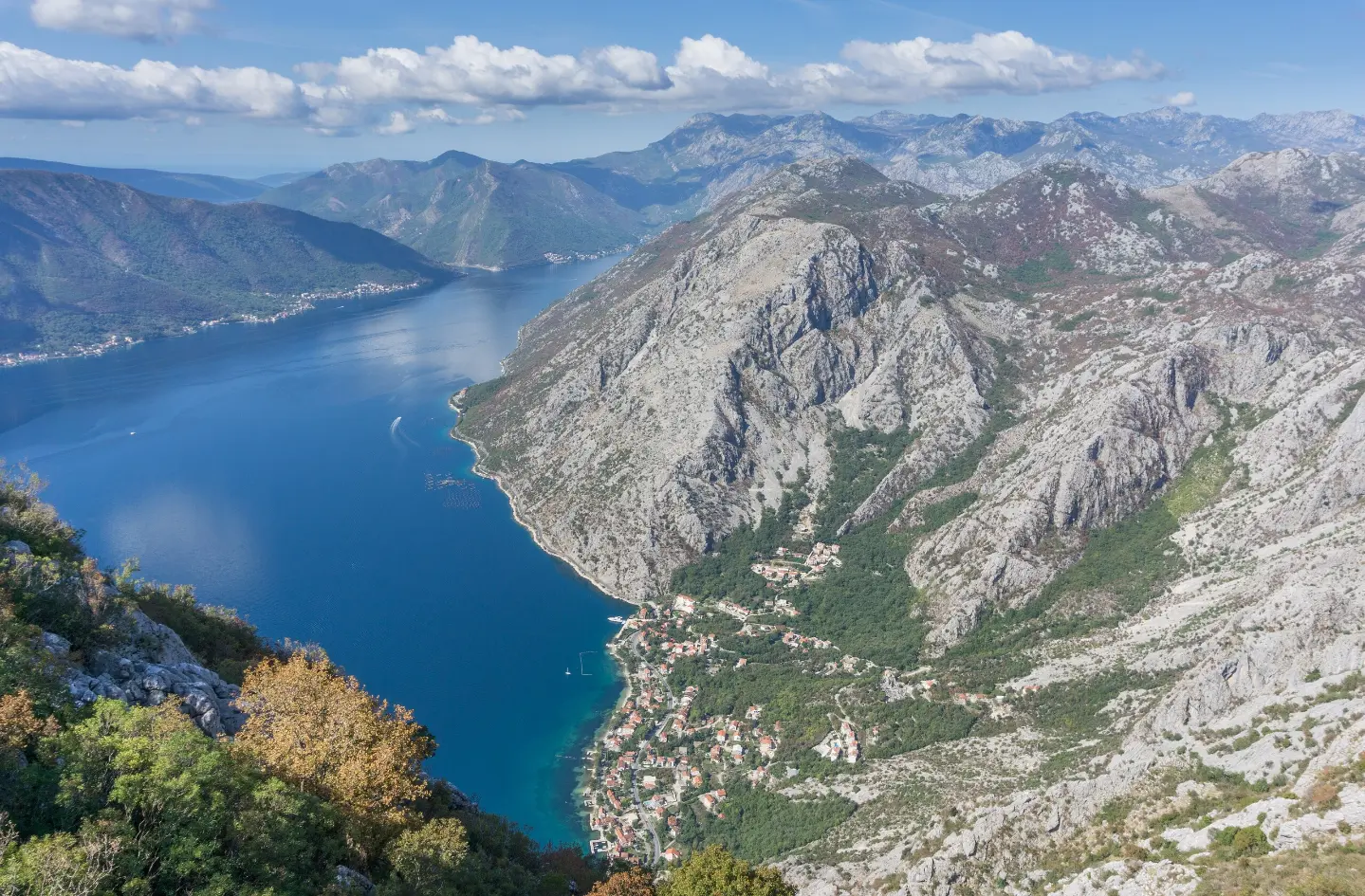
A multi-day hiking tour from Herceg Novi to Bar through Lovćen National Park and past the fortresses in Herceg Novi.
The Coastal Hiking Transversal connects Herceg Novi and Bar over a distance of 88.4 km, with a total ascent of 4606 m. It is marked and intended for experienced hikers; the estimated walking time without breaks is 33 h 50 min.
The Coastal Hiking Transversal is a multi-day hiking tour that leads from Herceg Novi to Bar. The trail length is 88.4 km, total ascent 4606 m, and total descent 3719 m. The highest point is at 1671 m a.s.l., the lowest at 73 m a.s.l. The estimated walking time without breaks is 33 h 50 min.
The trail is marked and for the most part follows dirt and forest paths (53%), while other surfaces include asphalt/concrete (24%) and gravel roads (23%). It begins in Herceg Novi, near the Forte Mare Fortress, and passes by Kanli Kula Fortress and Španjola Fortress. Part of the tour passes through Lovćen National Park.
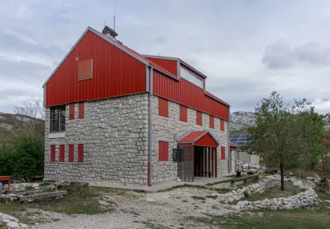
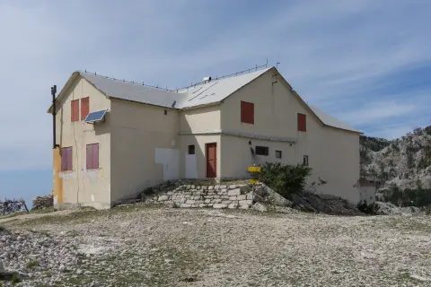
Along the route, notable mountain huts/shelters include Za Vratlom (1160 m a.s.l., at 11.7 km) and Orjen Mountain Hut (1592 m a.s.l., at 22.3 km), as well as various peaks and viewpoints. The tour is very demanding and intended for experienced hikers, so it is best to divide it into multiple stages.
Was diese Schwierigkeit bedeutet
Sehr lange Tour oder alpines Gelände, in dem auch die Hände gebraucht werden, mit wenigen Ausstiegsmöglichkeiten. Nur für erfahrene Bergsteiger bei stabilem Wetter.
Berg- und Alpinwanderskala SAC T2 (Skala T1–T6).
Fahre über das Profil, um der Route auf der Karte zu folgen; schalte 3D für das Gelände ein.
↑ 4.606 m · ↓ 3.719 m · höchster Punkt 1.671 m
Unterwegs
Fotos und kurze Clips von Punkten entlang der Route – zum Öffnen antippen.
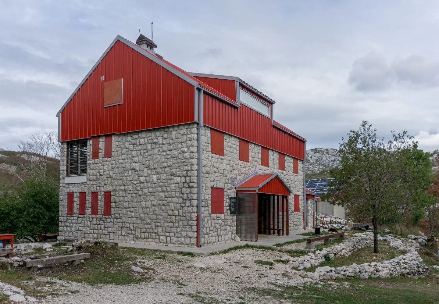
The mountain hut/shelter 'Za Vratlom' is located at 1160 m a.s.l., 11.7 km from the start.
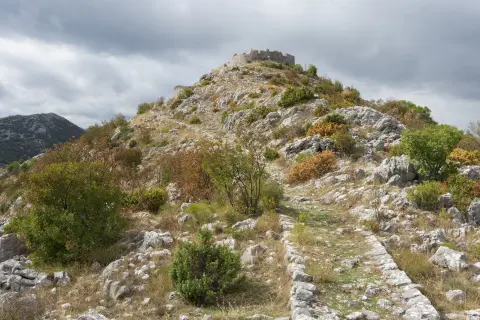
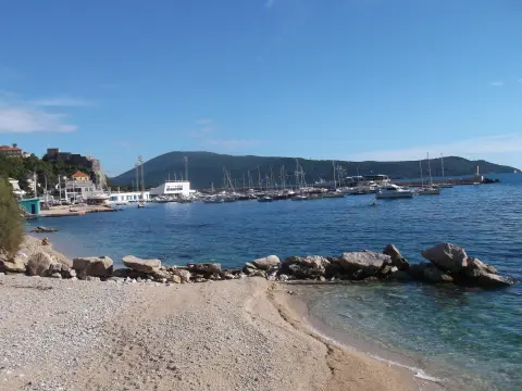
The trail starts in Herceg Novi, near the Forte Mare Fortress, and passes by Kanli Kula Fortress and Španjola Fortress.
Part of the tour passes through Lovćen National Park.
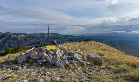
The viewpoint 'View Point On Kotor' is located at 1191 m a.s.l., 80.2 km from the start.
Wear hiking boots and layered clothing; the total ascent is significant.
Bring enough water. There are springs and water taps along the route, but do not rely on them as your only water source.
Divide the multi-day tour into stages and plan your overnight stays in advance.
Check the weather forecast; at higher sections, fog, strong winds and thunderstorms are possible.
The trail is marked, but due to its length, bring a GPS device or a hiking map.
Start early and inform someone of your plan and expected return.
This is a very demanding multi-day tour. At higher sections, fog, wind and thunderstorms are possible, so monitor the weather forecast. In case of an emergency, call 112.
Notruf in Montenegro: 112.
Gut zu wissen
Beste Jahreszeit
The most favorable period is from late spring to early autumn. In winter and early spring, higher sections may be covered in snow, wet and slippery.
Anreise
The trail starts in Herceg Novi, near the Forte Mare Fortress. At the start there is a parking area and the CENTAR bus station.
The trail length is 88.4 km.
The estimated walking time without breaks is 33 h 50 min. The tour is multi-day.
The trail is very demanding and intended for experienced hikers. According to the SAC hiking scale it is T2.
Yes, the trail is marked.

195 km↑ 3.259 m2–3 Tage
7,1 km↑ 128 m2–2½ Std.
2,5 km↑ 145 m45–65 Min.

406 km↑ 10.191 m6–8 Tage
5,1 km↑ 16 m1½–2 Std.
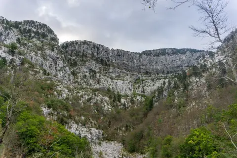
14,8 km↑ 1.468 m7–10 Std.

4,6 km↑ 18 m65–90 Min.
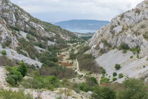
0,5 km↑ 135 m25–35 Min.
Zeiten und Schwierigkeitsgrade sind Schätzungen. Die Bedingungen ändern sich: Prüfe vor dem Aufbruch das Wetter und lokale Informationen.

Fragen Sie über Montenegro
Fragen Sie mich über Reiseziele, Restaurants oder Aktivitäten.