A very demanding hiking tour from Morakovo to Katun Maganik, 12.7 km long with an ascent of 782 m.
A very demanding one-way hiking tour from Morakovo to Katun Maganik. Length 12.7 km, ascent 782 m, highest point 1606 m a.s.l., estimated duration 4 h 35 min without breaks.
The trail begins at the bus stop "Bus stop Nikšić - Morakovo" at 898 m a.s.l. and leads to Katun Maganik. The tour is one-way, 12.7 km long, with a total ascent of 782 m and a descent of 90 m. The lowest point is 899 m a.s.l. and the highest is 1606 m a.s.l.
For the most part (89%) the trail follows a gravel road, while 6% is an earth or forest path. It is marked with green trail markers. At 2.7 km from the start, at 1141 m a.s.l., there is a drinking water fountain.
On our scale the trail is very demanding and intended for experienced hikers; according to the SAC scale it has a rating of T4. The estimated walking time without breaks is 4 h 35 min.
Near the trail, about 9.1 km from it, lies Manito jezero.
Was diese Schwierigkeit bedeutet
Sehr lange Tour oder alpines Gelände, in dem auch die Hände gebraucht werden, mit wenigen Ausstiegsmöglichkeiten. Nur für erfahrene Bergsteiger bei stabilem Wetter.
Berg- und Alpinwanderskala SAC T4 (Skala T1–T6).
Orte an dieser Route
Fahre über das Profil, um der Route auf der Karte zu folgen; schalte 3D für das Gelände ein.
↑ 782 m · ↓ 90 m · höchster Punkt 1.606 m
Unterwegs
The bus stop "Bus stop Nikšić - Morakovo" is located at 0.0 km from the start of the trail, at 898 m a.s.l.
At 2.7 km from the start of the trail, at 1141 m a.s.l., there is a drinking water fountain.
The highest point of the trail is at 1606 m a.s.l.; the total ascent is 782 m.
About 9.1 km from the trail lies Manito jezero.
Bring enough water; there is a fountain at 2.7 km from the start, but do not rely on it alone.
Wear sturdy hiking footwear and layered clothing; the trail is very demanding and rated T4 on the SAC scale.
Set off early – the estimated walking time without breaks is 4 h 35 min.
Check the weather forecast; at an altitude of up to 1606 m a.s.l. the weather can change quickly.
Plan your return or transportation as the trail is one-way.
Walk carefully on gravel road sections and steep stretches.
The trail is rated T4 on the SAC scale and is intended for experienced hikers. In mountain conditions, pay attention to fog, thunderstorms and changing weather. Bring a fully charged phone; the emergency number in Montenegro is 112.
Notruf in Montenegro: 112.
Gut zu wissen
Beste Jahreszeit
The best period for this tour is from late spring to early autumn, when trails at altitudes up to 1600 m a.s.l. are usually passable. In winter there may be snow and more demanding conditions.
Anreise
The trail starts at the bus stop "Bus stop Nikšić - Morakovo", at 898 m a.s.l. From that point the trail leads to Katun Maganik.
The trail is 12.7 km long, with a total ascent of 782 m and a descent of 90 m.
The estimated walking time without breaks is 4 h 35 min.
The trail is very demanding, for experienced hikers; according to the SAC scale it has the rating T4.
The trail is marked with green markings.

399 km↑ 9.352 m5–8 Tage

413 km↑ 8.566 m5–8 Tage

406 km↑ 10.191 m6–8 Tage
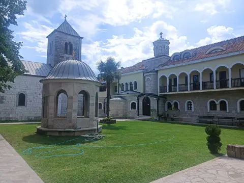
38,7 km↑ 392 m2–3 Tage
6,4 km↑ 725 m4–5½ Std.
Rundtour9,8 km↑ 1.370 m6–8½ Std.
2,9 km↑ 124 m50–70 Min.
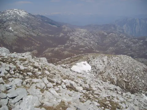
44,2 km↑ 463 m2–3 Tage
Zeiten und Schwierigkeitsgrade sind Schätzungen. Die Bedingungen ändern sich: Prüfe vor dem Aufbruch das Wetter und lokale Informationen.

Fragen Sie über Montenegro
Fragen Sie mich über Reiseziele, Restaurants oder Aktivitäten.
