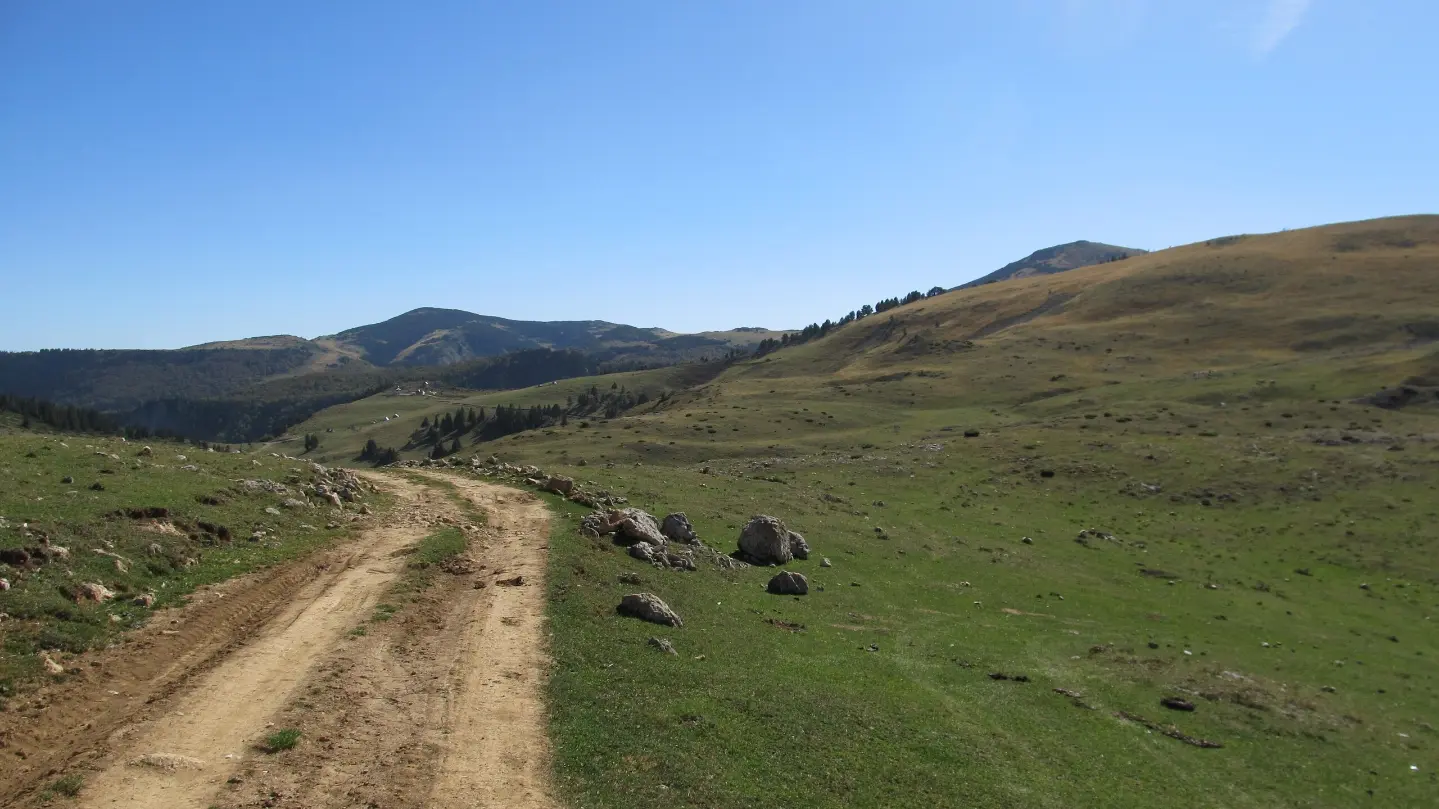
A multi-day hiking tour through the heart of Bjelasica, from Biogradska Gora to Komovi.
A demanding linear route of 41.4 km leads from Biogradska Gora to Komovi, crossing the Bjelasica ridges at elevations between 1,564 m and 2,094 m. It is intended for experienced hikers seeking a two- or three-day challenge in the heart of the Montenegrin mountains.
The tour starts from Biogradska Gora National Park and enters high mountain terrain from the very first kilometre. The trail is predominantly gravel road (around 60%), with the remainder being earthen or forest path. The total ascent is 1,496 m and the descent 1,490 m — the terrain is uneven and requires good physical fitness.
After the first few kilometres, the trail climbs towards the pass Svatovsko groblje (1,877 m a.s.l., km 11.6), from where views of the surrounding massifs open up. Further along are the viewpoints Olomerska (1,969 m, km 19.7) and the summit Zekova glava (2,122 m, km 20.9), which is also close to the highest point of the entire tour. At kilometre 25.6 is the Mountain Hut Vranjak (1,763 m), a suitable place for an overnight stay.
The second part of the tour descends towards Mountain Center "Krivi Do" (1,688 m, km 30.6), and the tour ends at the pass Prevoj Trešnjevik (1,565 m) and the summit Trešnjevik (1,686 m) just before the finish near Komovi. Several water fountains and springs are distributed along the entire trail, making water resupply easier.
The trail is part of the Via Dinarica network and is recommended for experienced hikers with appropriate equipment and overnight planning.
Co oznacza ten poziom trudności
Bardzo długi lub wysokogórski teren, gdzie mogą być potrzebne ręce, z niewieloma możliwościami odwrotu. Tylko dla doświadczonych alpinistów przy stabilnej pogodzie.
Skala trudności SAC T1 (skala T1–T6).
Przesuwaj po profilu, by śledzić trasę na mapie; włącz 3D, aby zobaczyć ukształtowanie terenu.
↑ 1496 m · ↓ 1490 m · najwyższy punkt 2094 m
Po drodze
A summit at kilometre 20.9 and one of the highest points of the tour, with a panoramic view of the Bjelasica and Komovi ridges.
A prominent pass at kilometre 11.6 that marks the first major ascent and offers fine views of the surrounding mountain landscape.
A mountain hut at kilometre 25.6, an ideal place for rest or an overnight stay in the middle of a multi-day tour.
A viewpoint at kilometre 19.7 with views of the high mountain relief of Bjelasica.
The trail sets off from this protected area, one of the rare primeval forests in Europe, which gives it a special natural character right from the start.
Plan for at least two days of hiking — the estimated duration without breaks is 14 h 20 min.
Check in advance the availability and conditions of accommodation at Mountain Hut Vranjak and Mountain Center "Krivi Do".
Bring enough food for the whole day, and replenish your water at the marked fountains and springs along the trail.
Set off early in the morning to avoid afternoon thunderstorms, which are common in the mountains in summer.
Wear mountain boots with good ankle support — the terrain combines gravel road and uneven forest path.
The trail is linear: the start and end are not in the same place, so arrange transport in advance or have someone pick you up near Komovi.
The tour passes through exposed mountain terrain at altitudes of up to 2,094 m, where weather conditions can change rapidly. In the event of fog, thunder or a storm, take shelter in a safe place and do not continue along exposed ridges. In an emergency, call 112.
Numer alarmowy w Czarnogórze: 112.
Warto wiedzieć
Najlepsza pora
The recommended period is from June to October, when the mountain terrain of Bjelasica is passable and free of snow. Outside this period, the higher sections of the trail may be very difficult to pass due to snow and ice.
Dojazd
The trailhead is located in Biogradska Gora National Park. The closest lake to the starting point is Šiško jezero, approximately 4.1 km away. The towns of Mojkovac (~7.1 km) and Andrijevica (~8.8 km) can serve as departure points for organising transport.
The trail is 41.4 km long, with a total ascent of 1,496 m and a descent of 1,490 m.
The estimated duration of pure walking time (without breaks) is 14 h 20 min. For this reason, the tour is planned as a multi-day trip, most commonly two or three days.
The trail is rated as very demanding and is intended for experienced hikers with appropriate equipment and experience on high-altitude terrain.
Given the altitudes between 1,564 m and 2,094 m, the tour is most suitable during the summer and early autumn months, when the mountain paths are passable and free of snow.

143 km↑ 5436 m6–9 dni
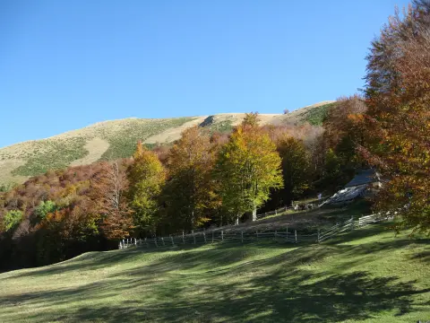
78,8 km↑ 2501 m3–5 dni
18,7 km↑ 149 m5–7½ godz.
11,3 km↑ 616 m3½–5 godz.
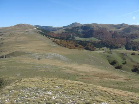
39,0 km↑ 1580 m5–7 godz.

262 km↑ 6918 m4–5 dni
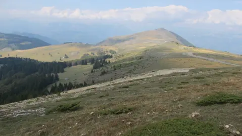
22,8 km↑ 1540 m7½–10½ godz.

399 km↑ 9352 m5–8 dni
Czasy i stopnie trudności są szacunkowe. Warunki się zmieniają: przed wyjściem sprawdź pogodę i lokalne informacje.

Zapytaj o Czarnogórę
Zapytaj mnie o destynacje, restauracje lub aktywności.
