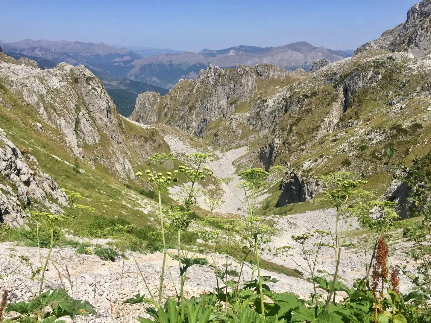
A short but very demanding hiking trail with two viewpoints in the heart of Prokletije.
One-way, 1.3 km long, with a total ascent of 67 m and descent of 265 m. Leads from the Krošnjin prolaz pass (2165 m a.s.l.) past two viewpoints through Prokletije National Park.
The trail begins at the "Krošnjin prolaz" pass at 2165 m a.s.l. The highest point of the route is at 2187 m a.s.l. and the lowest at 1967 m a.s.l. The total ascent is 67 m and the total descent is 265 m. At 0.8 km from the start there is a viewpoint at 2022 m a.s.l., and at 0.9 km a second viewpoint at 2028 m a.s.l.
The surface is 100% dirt/forest trail. Although the distance is short, the terrain is mountainous and the trail is rated as very demanding (SAC T4), intended for experienced hikers. Sure-footed movement on uneven terrain is required.
Offers views from two viewpoints and passage through Prokletije National Park. Duration without breaks is approximately 55 minutes. Since the trail is one-way, plan your return or transport in advance.
Çfarë do të thotë kjo vështirësi
Terren shumë i gjatë ose alpin ku mund të duhen edhe duart, me pak rrugëdalje. Vetëm për alpinistë me përvojë dhe në mot të qëndrueshëm.
Shkalla e ecjes malore SAC T4 (shkalla T1–T6).
Vende në këtë itinerar
Lëviz përgjatë profilit për ta ndjekur itinerarin në hartë; aktivizo 3D për relievin.
↑ 67 m · ↓ 265 m · pika më e lartë 2187 m
Gjatë rrugës
The starting point of the trail, a high mountain pass in Prokletije National Park.
Located 0.8 km from the start, offering a view of the surrounding mountain terrain.
Situated 0.9 km from the start, a slightly higher viewpoint over Prokletije National Park.
The trail passes through the protected area of Prokletije National Park for its entire length.
The entire trail runs on a dirt/forest surface, natural in character.
Wear sturdy hiking boots with good soles; the trail is very demanding (SAC T4).
Bring enough water and food, especially during the warmer part of the day.
Check the weather forecast before setting out; at this altitude the weather changes quickly.
Start early in the morning to avoid afternoon fog or thunderstorms.
Bring layered clothing and sun protection, regardless of summer temperatures in the valley.
The trail is mountainous and very demanding (SAC T4). At this altitude, fog, rain and thunderstorms can arrive quickly, so monitor the weather forecast. In case of an emergency, call 112.
Numri i emergjencës në Mal të Zi: 112.
Mirë të dihet
Sezoni më i mirë
The best period for this trail is usually from late spring to early autumn, when the trails are generally snow-free. Due to the altitude between 1967 and 2187 m, conditions can change rapidly.
Si të shkosh
The trailhead is reached from Gusinje, approximately 7.9 km away. Check the exact access road and parking before departure.
The length is 1.3 km and the estimated duration without breaks is 55 minutes.
On our scale it is very demanding / for experienced hikers, and according to the SAC hiking scale T4.
The trail is one-way, the start and end are not at the same place.
Due to the altitude of 1967 to 2187 m, the best period is usually from late spring to early autumn, when there is no snow.
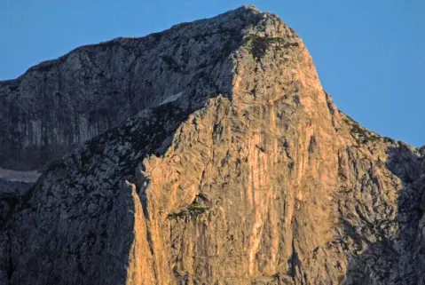
3,8 km↑ 1099 m4½–6 orë
0,9 km↑ 302 m55–80 min
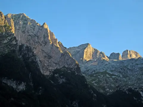
2,3 km1½–2 orë
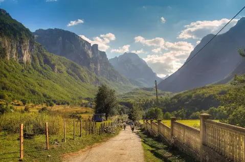
25,3 km↑ 571 m2½–3½ orë
Rreth
181 km↑ 9342 m9–12 ditë
Rreth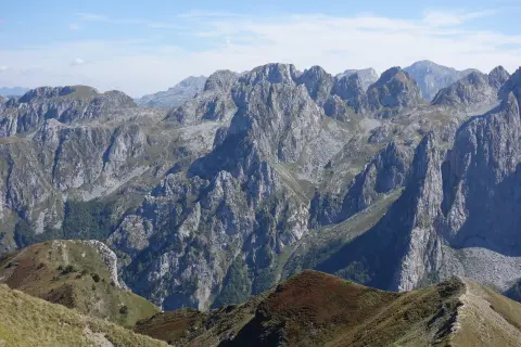
1,7 km↑ 144 m45–60 min
8,8 km↑ 279 m60–85 min
Kohët dhe shkallët e vështirësisë janë të përafërta. Kushtet ndryshojnë: kontrollo motin dhe informacionin vendor para se të nisesh.

Pyesni per Malin e Zi
Pyesni per destinacione, restorante ose aktivitete.
