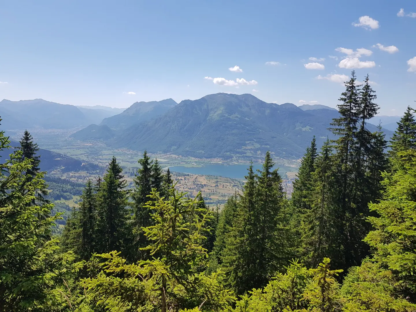
Circular cycling trail in Prokletije National Park with moderate climbs, 29.7 km long, mostly on asphalt.
Biking Trail PL02 is a circular cycling trail in Prokletije National Park. The trail is 29.7 km long, has a total ascent of 951 m, is of moderate difficulty, and runs 93% on asphalt or concrete.
Biking Trail PL02 is a circular cycling trail in Prokletije National Park. It starts and ends near Plav, approximately 0.7 km from the town. The trail is 29.7 km long, with a total ascent of 951 m and a descent of 949 m. The lowest point is at 937 m a.s.l., and the highest at 1766 m a.s.l.
The trail is of moderate difficulty and mostly runs on asphalt or concrete (93%). The estimated riding time without breaks is 3 h 5 min. Along the route there are several drinking water fountains, including the "Babina voda" fountain at 1461 m a.s.l. (14.8 km from the start). At 20.2 km there is a viewpoint at 1729 m a.s.l., and at 21.5 km a shelter at 1708 m a.s.l.
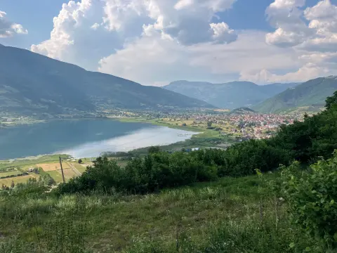
The ride passes through areas of Prokletije National Park and offers views of the surrounding mountain landscapes. Near the starting point is Plavsko jezero, about 1 km from the trail. In the wider surroundings are also Hridsko jezero (about 4.6 km) and Gusinje (about 8.3 km).
Çfarë do të thotë kjo vështirësi
Disa ngjitje më të gjata ose sipërfaqe më të ashpra. Nevojitet formë e rregullt çiklistike.
Lëviz përgjatë profilit për ta ndjekur itinerarin në hartë; aktivizo 3D për relievin.
↑ 951 m · ↓ 949 m · pika më e lartë 1766 m
Gjatë rrugës
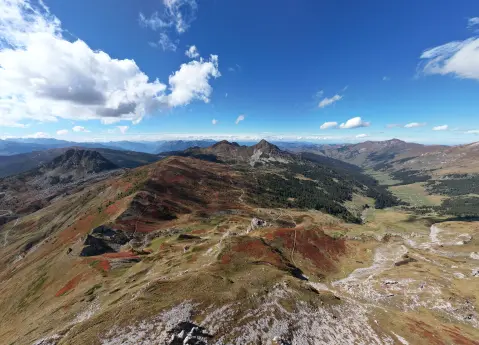
A point with views over the surrounding areas of Prokletije National Park, at 20.2 km from the start of the trail.
A shelter at 1708 m a.s.l., at 21.5 km from the start of the trail.
A drinking water fountain at 1461 m a.s.l., at 14.8 km from the start of the trail.
A lake near the trail, about 1 km from the start/route.
Bring enough water, although there are several drinking water fountains along the route.
Check the weather forecast before setting off; at altitudes up to 1766 m a.s.l. the weather changes quickly.
Dress in layers — at the highest points it can be noticeably cooler.
Wear a helmet and carry a basic bicycle repair kit; most of the trail is asphalt/concrete.
Start early to avoid the hottest part of the day and finish the loop before dark.
In mountain conditions the weather can change quickly. Bring enough water and check the weather forecast. In emergencies call 112.
Numri i emergjencës në Mal të Zi: 112.
Mirë të dihet
Sezoni më i mirë
The best period for riding is from late spring to early autumn, when the roads are dry and temperatures are moderate. At the highest point of 1766 m a.s.l. it can be cooler even in summer.
Si të shkosh
The trail starts and ends near Plav, approximately 0.7 km from the town, within Prokletije National Park.
The trail is 29.7 km long and is circular in shape.
The estimated riding time without breaks is 3 h 5 min.
The trail is of moderate difficulty, with a total ascent of 951 m and a descent of 949 m. Most of it is on asphalt or concrete (93%).
The trail starts and ends near Plav, in the Prokletije National Park.
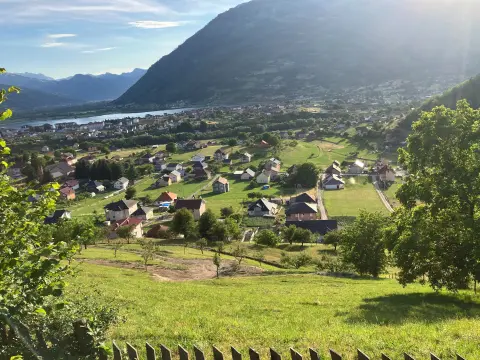
38,4 km↑ 1440 m4½–6½ orë
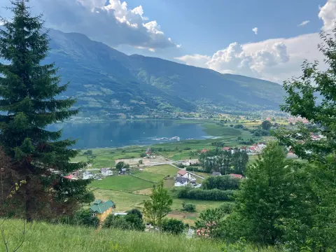
25,5 km↑ 112 m1½–2 orë
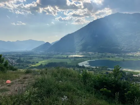
25,4 km↑ 1094 m3½–4½ orë
Rreth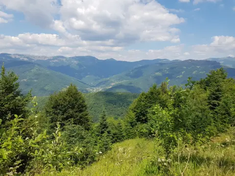
20,1 km↑ 1064 m3–4 orë
26,9 km↑ 450 m2–2½ orë

262 km↑ 6918 m4–5 ditë
56,8 km↑ 3721 m3–4 ditë
181 km↑ 9342 m9–12 ditë
RrethKohët dhe shkallët e vështirësisë janë të përafërta. Kushtet ndryshojnë: kontrollo motin dhe informacionin vendor para se të nisesh.

Pyesni per Malin e Zi
Pyesni per destinacione, restorante ose aktivitete.
