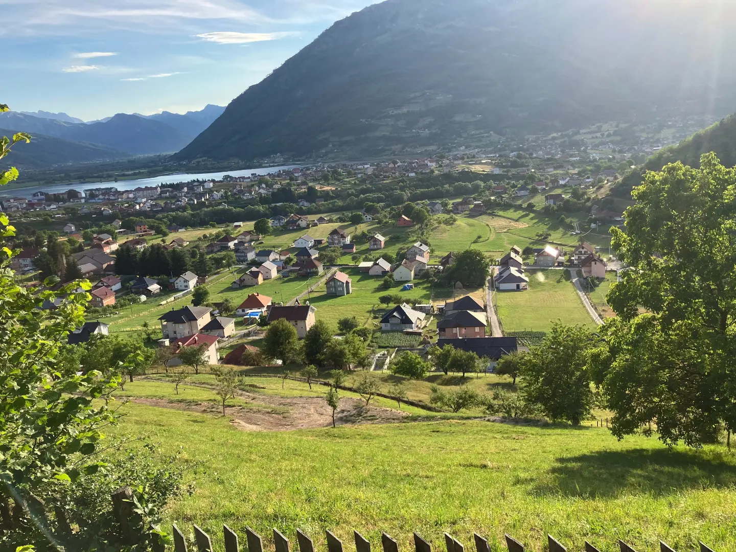
Cycling trail through Prokletije NP: 38.4 km, ascent 1440 m, Hridsko jezero and high-altitude sections.
Moderate cycling trail in Prokletije National Park. It is 38.4 km long, with a total ascent of 1440 m and a duration of 5 h 25 min without breaks; it passes by Hridsko jezero.
The cycling trail Biking Trail PL04 starts near Plav, just about 0.7 km from the trailhead. It runs through Prokletije National Park and covers 38.4 km in one direction. Along the way it passes by Hridsko jezero (about 0.5 km from the trail), and Plavsko jezero and Gusinje are nearby.
The trail has mixed terrain: 48% asphalt/concrete, 29% dirt/forest track and 23% gravel road. Total ascent is 1440 m and descent is 846 m. The lowest point is at 937 m a.s.l. and the highest at 2160 m a.s.l. Estimated riding time without breaks is 5 h 25 min.
Along the route there are water springs and fountains, as well as shelters and campsites. Among the points of interest are the Triangle Woodhouse Viewpoint (1495 m a.s.l.), the MASLO Camping campsite (1573 m a.s.l.) and the Studenac fountain (2031 m a.s.l.).
Difficulty is moderate. Good physical fitness is recommended due to the length and altitude.
Bu zorluk derecesi ne anlama geliyor
Bazı uzun tırmanışlar veya daha bozuk zemin. Düzenli bisiklet kondisyonu gerekir.
Rotayı haritada takip etmek için profil üzerinde gezinin; araziyi görmek için 3D'yi açın.
↑ 1.440 m · ↓ 846 m · en yüksek nokta 2.160 m
Yol boyunca
The trail passes about 0.5 km from Hridsko jezero.
The viewpoint at 1495 m a.s.l. is located 12.4 km from the start of the trail.
A drinking water fountain at 2031 m a.s.l., 29.2 km from the start of the trail.
At 29.4 km from the start there is a shelter at 2061 m a.s.l., and at 18.8 km a shelter at 1812 m a.s.l.
MASLO Camping at 1573 m a.s.l., Triangle Woodhouse Camping at 1500 m a.s.l. and a wild camp at 2058 m a.s.l.
Start riding early: the distance is 38.4 km and the estimated duration without breaks is 5 h 25 min.
Bring enough water; although there are fountains and springs along the trail, the gaps between them are large on certain sections.
Check the weather forecast; in sections above 2000 m a.s.l. conditions can change rapidly.
Wear a helmet and bring a spare inner tube and tools for basic repairs; the trail has gravel and dirt sections.
Bring layered clothing and a windbreaker due to the highest point of 2160 m a.s.l.
Respect the rules of Prokletije National Park and ride only on the existing trail.
In the high sections above 2000 m a.s.l. the weather can deteriorate quickly; fog, heavy rain and thunderstorms are possible. Bring a fully charged mobile phone and avoid riding in the dark. In case of emergency call 112.
Karadağ'da acil durum numarası: 112.
Bilmekte fayda var
En iyi mevsim
The most favourable time to ride is from late spring to early autumn, when the high sections are usually passable. In winter and early spring there may be snow and ice on the upper sections.
Nasıl gidilir
The trailhead is about 0.7 km from Plav. Plav is the nearest settlement to the start of the trail, making it the easiest point of access.
The trail is 38.4 km long and runs in one direction.
The estimated duration without breaks is 5 h 25 min; with breaks, plan for more time.
It is rated as moderate. The total ascent is 1440 m and the descent is 846 m; the highest point is 2160 m above sea level, and the lowest is 937 m above sea level.
It starts near Plav, about 0.7 km from the starting point, and passes through Prokletije National Park, near Hridsko jezero (about 0.5 km from the trail).
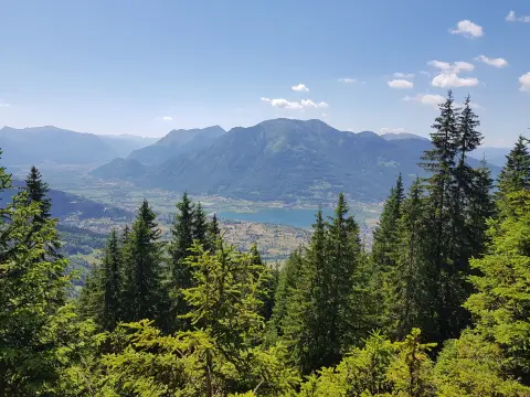
29,7 km↑ 951 m2½–3½ sa
Döngü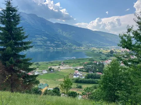
25,5 km↑ 112 m1½–2 sa
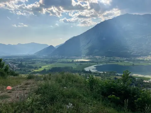
25,4 km↑ 1.094 m3½–4½ sa
Döngü
20,1 km↑ 1.064 m3–4 sa
26,9 km↑ 450 m2–2½ sa

262 km↑ 6.918 m4–5 gün
56,8 km↑ 3.721 m3–4 gün
181 km↑ 9.342 m9–12 gün
DöngüSüreler ve dereceler tahminidir. Koşullar değişir: yola çıkmadan önce hava durumunu ve yerel bilgileri kontrol edin.

Karadağ hakkında sorun
Destinasyonlar, restoranlar veya aktiviteler hakkında sorun.
