Mountains
Hiking
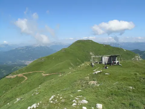
Tours to the surrounding mountain peaks of the Moračke planine depart from the lake.
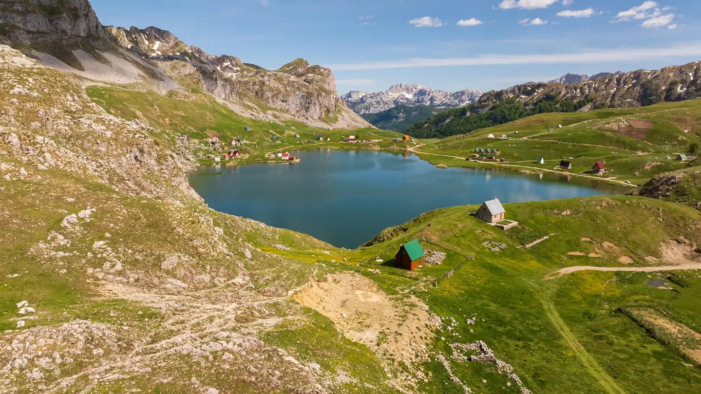
Glacial lake at 1,678 m between Nikšić and Kolašin
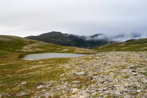
Kapetanovo jezero is situated northeast of Nikšić, on the border with the municipality of Kolašin, at an elevation of 1,678 m.
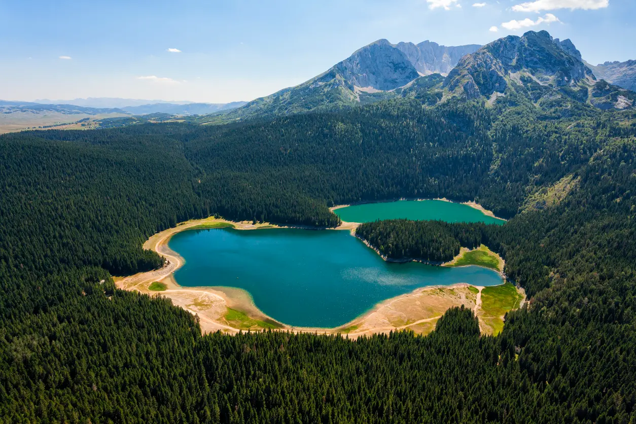
It is of glacial origin, measuring 480 m in length and 200 m in width, with a maximum depth of approximately 37 m. Crystal clear and green in colour, the lake reflects the surrounding rocks and mountain peaks, and is rich in fish. Around the lake stretch the expansive pastures of Lukavica and traditional katuns, making it one of the most attractive mountain areas in Montenegro. Numerous hiking tours to the surrounding peaks depart from this location.
Highlights
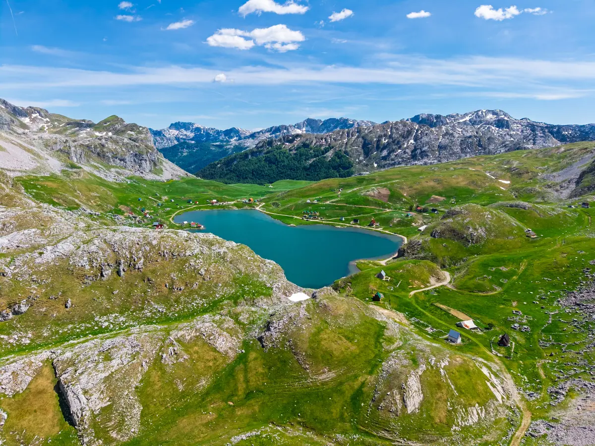
A lake of glacial origin measuring 480 m in length, 200 m in width and up to 37 m in depth, it is one of the rare glacial lakes in the interior of Montenegro. Crystal clear and green in colour, in which the surrounding rocks and mountain peaks are reflected, the lake is rich in fish and offers a tranquillity that is hard to find at lower elevations. It bears the name of Captain Mušović, the Ottoman commander of Nikšić, making it one of the rare natural beauties in Montenegro with a direct connection to the period of Ottoman rule.
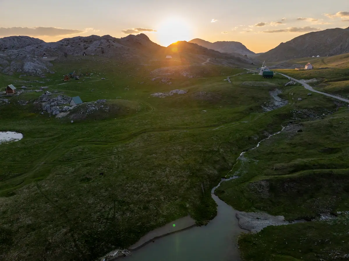
Around Kapetanovo jezero stretch the expansive mountain pastures of Lukavica, where people still live in the traditional way in katuns to this day. This is one of the rare opportunities in Montenegro to experience authentic mountain life first-hand – local hosts produce cheese, kajmak and milk using age-old recipes. The wider area around the lake, with its mountain peaks, springs and katuns, ranks as one of the most beautiful landscapes in Montenegro.

Mali žurim (1,962 m) and Veliki žurim (2,036 m) are part of the Moračke planine massif and are accessible via hiking tours departing from Kapetanovo jezero. The distance between the two peaks is approximately one kilometre. The ascent of Mali žurim begins along an easier ridge that becomes an almost vertical rock face near the summit, while Veliki žurim has a gentler ascent and a wide meadow full of blueberries. These two peaks form a natural boundary between the karst terrain and the green valley.
What to do
Mountains
Tours to the surrounding mountain peaks of the Moračke planine depart from the lake.

Food & wine
The lake is rich in fish, making it a favourite destination for anglers.

Mountains
In winter, the area around the lake is visited on ski touring equipment or snowshoes.

Adventure
In summer it is possible to explore the surrounding pastures and katuns by bike.

The surrounding Lukavica pastures are well suited for horse riding through unspoiled nature.
Hiking, walking and cycling routes that start here or pass nearby, with maps and GPX downloads.
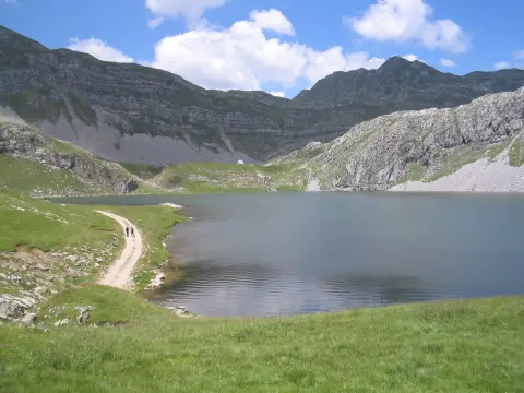
The 1.4 km trail connects Kapetanovo Lake and Manito Lake. It is a moderate T2 tour with 138 m of ascent and takes about 45 minutes of walking without breaks.
1.4 km138 m40–55 min
View trail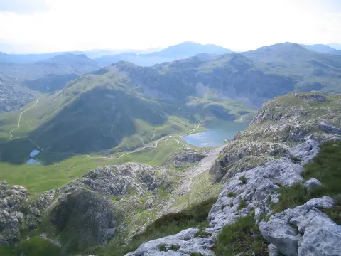
A demanding mountain trail 6,0 km long with an ascent of 449 m. It leads over rocky terrain past Stožac Peak (2141 m a.s.l.) and past Manito Lake, and the route is not circular.
6.0 km449 m2½–3½ h
View trail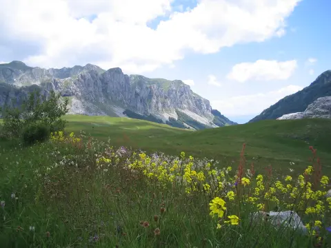
The hiking trail from Kapetanovo Lake to Zagradački katun is 7.3 km long, with a total ascent of 207 m and descent of 168 m. Estimated duration without breaks is 2 h 20 min, and the difficulty is moderate.
7.3 km207 m2–3 h
View trail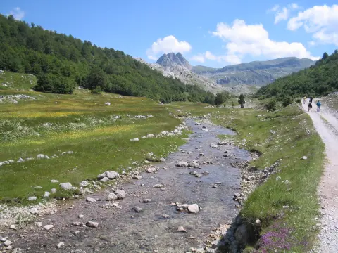
One-way hiking trail 8.0 km in length, with a total ascent of 290 m. It leads from Torine Campsite to Kapetanovo Jezero and is marked in green.
8.0 km290 m2–3 h
View trail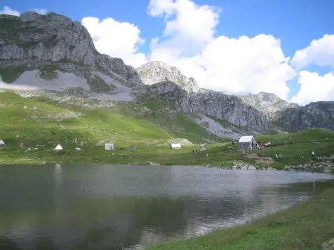
A demanding one-way trail, 8.5 km long, with 883 m of ascent and green trail markers. It leads from Velje Duboko to Kapetanovo jezero, past a viewpoint and two waterfalls.
8.5 km883 m3½–5 h
View trail
The Stožac Ridge Trail is a very demanding one-way hiking route: 10.3 km, ascent 673 m, descent 609 m. It runs mostly through rocky terrain, and the duration without breaks is 4 h 45 min.
10.3 km673 m4–5½ h
View trail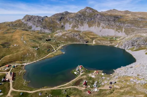
Very demanding one-way hiking tour from Dragovića Polje to Kapetanovo jezero. It is 12.7 km long, with a total ascent of 1471 m, a descent of 237 m and the highest point at 1923 m a.s.l.
12.7 km1,471 m6–8½ h
View trail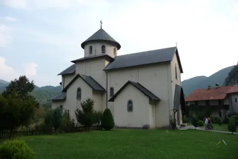
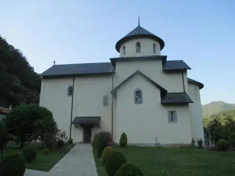
Very demanding hiking tour from Velje Duboko to Morača Monastery. It leads mostly along gravel and asphalt roads, passes several springs, and takes about 10 h 35 min without breaks.
26.8 km1,160 m9–12½ h
View trailGallery


Plan Your Visit
Opening hours
Accessible all year round, with no opening-hour restrictions
Admission
Free access
Website
www.niksic.travelParking is possible by the lake, in natural pull-outs along the mountain road
The terrain is mountainous and not suitable for people with disabilities or limited mobility
FAQ
Around here