Montenegro's largest glacial lake, at 907 m above sea level
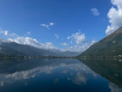
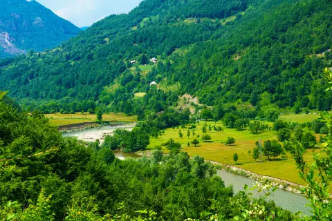
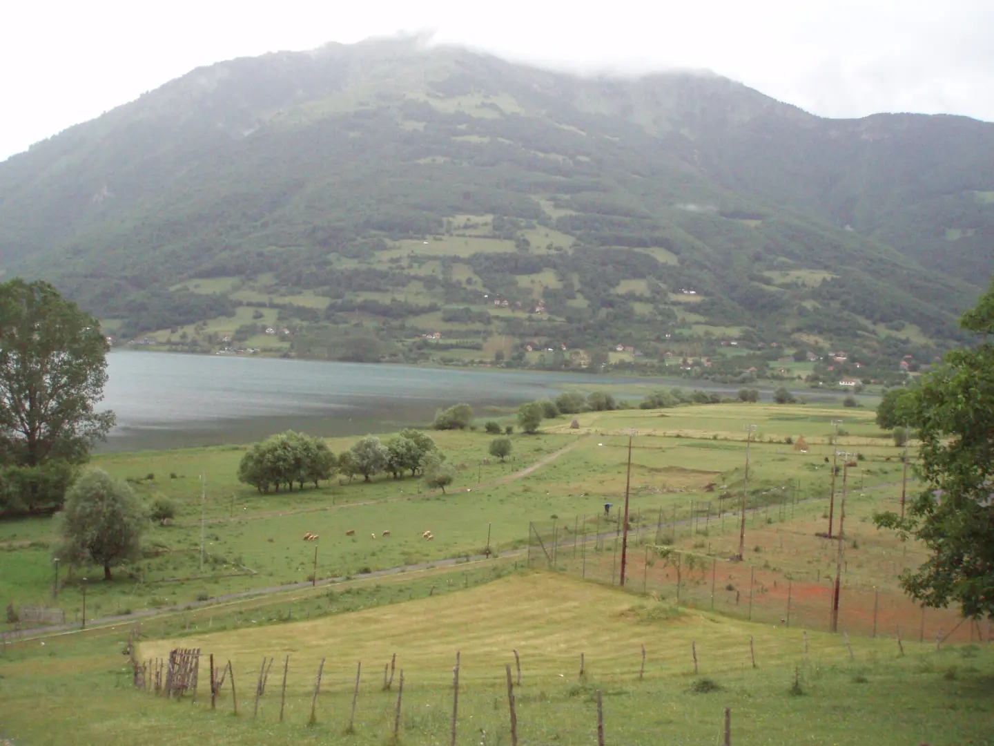
Lake Plav, situated at 907 metres above sea level in the municipality of Plav, is the largest glacial lake in Montenegro.
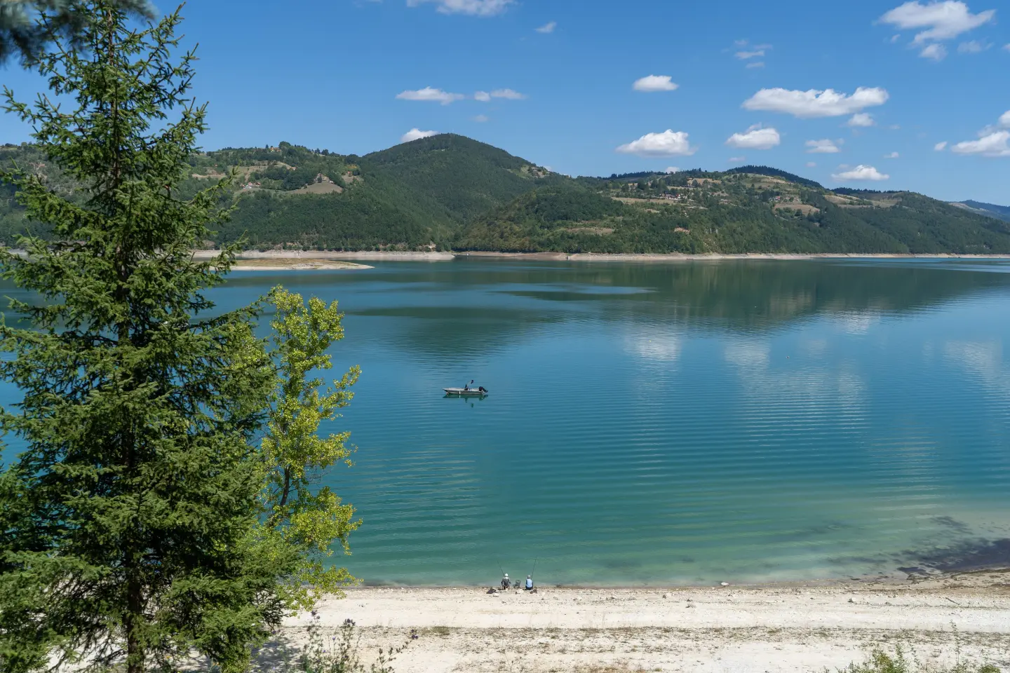
Covering an area of 2 km², with an average depth of three metres and a maximum depth of nine metres, the lake offers pleasant water temperatures for swimming in summer, while in winter it freezes over and becomes a tourist attraction you can walk across. The Lim River flows out of the lake, and it is fed by the Ljuča River, formed from mountain streams descending from the Prokletije. A raft platform on the lake serves as a swimming area and starting point for kayak, pedalo, and boat rides. The lake is also a paradise for sport anglers – it has even hosted the European Fly Fishing Championship.
Highlights
The raft platform on Lake Plav is the central hub of summer activities and the only organised swimming area on the lake. Kayaks, pedalos, and boats can be hired here for a ride across the calm lake surface. The Plav Tourist Organisation deploys a lifeguard during the bathing season to keep visitors safe. The raft is the starting point both for families with children and for active visitors who want a short kayak ride across the 2 km² lake.
Lake Plav, together with the Lim and Ljuča rivers, forms one of the most attractive fishing destinations in the western Balkans. The waters are home to the endemic Blatnjača trout – a species found nowhere else – as well as huchen, pike, grayling, brown trout, chub, and dace. The European Sport Fishing Championship – fly fishing – has been held on these very waters, confirming the international reputation of the local fish stocks. Fishing is possible using various techniques, and permits can be obtained through the Plav Tourist Organisation.
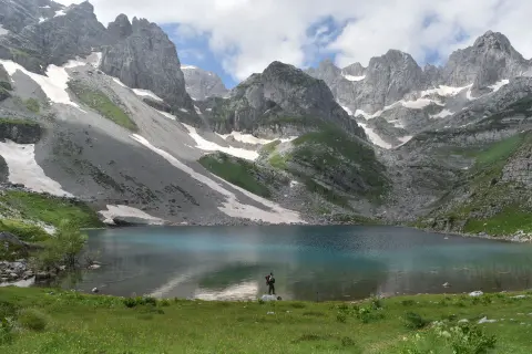
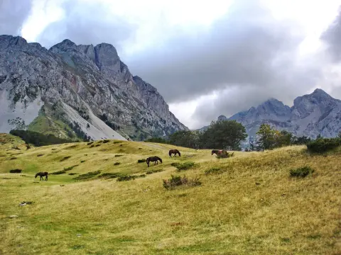
Just 5 km from Plav (2 km as the crow flies from the Plana peak), at an elevation of 1,735 metres, lies Visitorsko Lake – a glacial mountain lake classified among a group of mountain lakes known as the Gorske oči (Mountain Eyes). Its maximum length is 91 metres, width 72 metres, and its distinguishing feature is a grassy floating island – a shoal in the middle – that shepherds once used as a natural shelter for livestock from mountain predators. Hikes to the lake are organised by the Plav Tourist Organisation: the trail is 5 km in total (return), of easy difficulty, and takes approximately 4 hours.
Abdijino Lake is situated in a cirque beneath Jupov Vrh on Horolaci, at an altitude of 2,054 metres above sea level – making it the highest-elevation lake in all of Montenegro. The starting point in Paljevi is reached by asphalt road and then 7 km of unpaved track accessible even to smaller vehicles. The trail from Zuvdijin Konak leads through a spruce forest, past Konjski Obor and Krljoping Katun, to the peak of Kofiljača at 1,825 m, offering views over the Plav–Gusinje valley. The tour is organised by the Plav Tourist Organisation and takes a full day.
What to do
From the lake's raft platform you can hire a kayak, pedalo, or boat for a ride on the calm water.
In summer, the water of Lake Plav is warm enough for swimming directly from the raft bathing platform.
Fly fishing and conventional fishing on the lake, the Lim, and the Ljuča – habitat of the endemic Blatnjača trout.
The Ljuča and Lim rivers offer exciting sections suitable for rafting in the immediate vicinity of the lake.
The surrounding hills of Završ, Vardište, and Skić are accessible after an hour's leisurely walk, with views over the lake.
Hiking, walking and cycling routes that start here or pass nearby, with maps and GPX downloads.
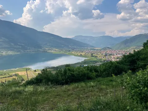
The circular hiking trail in Prokletije National Park is 180.8 km long. With 9,342 m of total ascent and a highest point at 2,267 m above sea level, it is intended for experienced hikers.
181 km9,342 m9–12 daysLoop
View trail
A cycling route 262.2 km long with a total ascent of 6918 m. It leads through Biogradska Gora National Park and past Mojkovac, Plav and Gusinje, along mountain huts and viewpoints.
262 km6,918 m4–5 days
View trail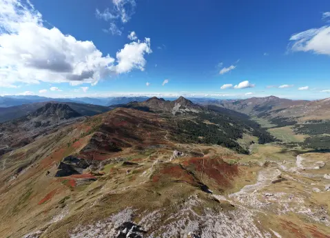
Via Dinarica is a marked hiking trail in Prokletije National Park, 56.8 km long, with 3,721 m of ascent. It starts near Andrijevica, passes by Plav and Hridsko jezero, and is walked over several days.
56.8 km3,721 m3–4 days
View trail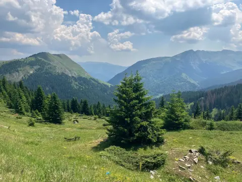
A one-way cycling route of 61.3 km with 1755 m of ascent and 2844 m of descent. It leads from Čakor pass, passes by peaks and water springs, and approaches Andrijevica; mostly asphalt/concrete, partly gravel road.
61.3 km1,755 m6½–9 h
View trail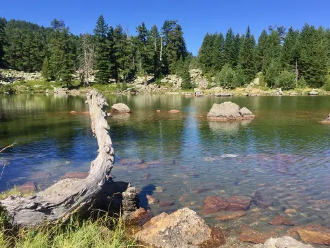
A short and easy 3,7 km trail in Prokletije National Park. It leads mostly downhill, with a total descent of 356 m, and is suitable for hikers of all experience levels.
3.7 km22 m70–95 min
View trail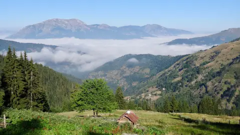
The Brezojevice – Visitor trail runs in one direction through forested mountain terrain for 8.5 km. With a total ascent of 181 m and descent of 1370 m, it is of moderate difficulty.
8.5 km181 m4–5½ h
View trail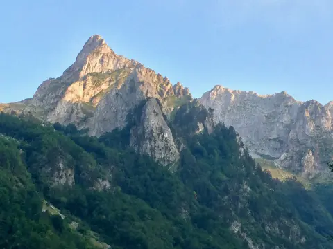
Cycling trail GU02 is 8.8 km long and leads from Gusinje through Prokletije National Park. It has a total ascent of 279 m, a mostly asphalt surface, and takes about 1 h 10 min without breaks.
8.8 km279 m60–85 min
View trail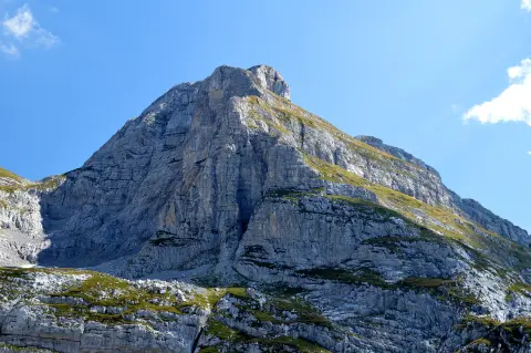
The Zla Kolata trail is 9.6 km long and runs in one direction, with a total ascent of 1340 m and a descent of 418 m. The estimated walking time without breaks is 6 h 30 min, and the trail is located in Prokletije National Park.
9.6 km1,340 m5½–8 h
View trailGallery
Plan your stay
Live offers from local hosts on our booking platform. Nothing is charged online – you pay the host on site.
Booking requests are confirmed by the host; payment on site. Offers come from the Travel to Montenegro booking platform.
Plan Your Visit
Phone
+382 51 251 010Website
plavto.meThe lake is accessible throughout the entire year, 24/7. The raft–bathing area operates during the summer season (June–September).
Free access to the lake. Services on the raft (kayaks, pedal boats, rowing boats) are charged separately.
Parking is available along the lakeshore in Plav, mostly free of charge.
The coastal zone along the lake is mostly flat and accessible. The mountain trails in the surrounding area are not adapted for wheelchairs.
FAQ
Around here