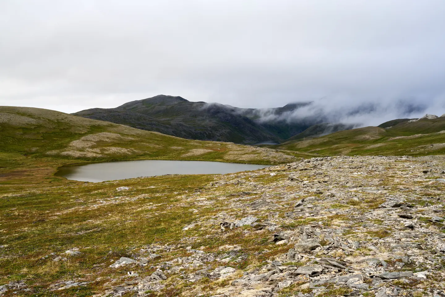
Glacial lake at 1,773 m a.s.l. on Mount Lukavica, Kolašin Municipality
Manito Lake, also known as Brnjičko Lake after the surrounding area of Brnik, is one of the smaller glacial lakes in Montenegro, located in the Lukavica area in Kolašin Municipality. It sits at an elevation of 1,773 m, is 220 m long, 140 m wide, and reaches a maximum depth of 13 m. It is surrounded by grassy and partially rocky terrain, and its water is a clear dark-green hue owing precisely to its remoteness. The lake is reached by hiking from Kapetanovo Lake, from which it is about 40 minutes on foot. The route Kapetanovo Lake – Manito Lake – Stožac (2,140 m a.s.l.) is a popular mountain trail of approximately 5 km.
Location
Lukavica, Kolašin Municipality
Elevation
1,773 m
Lake Dimensions
220 m × 140 m
Maximum Depth
13.4 m
Distance from Kolašin
~60 min by car + 40 min on foot
Visiting Season
June — October
Highlights
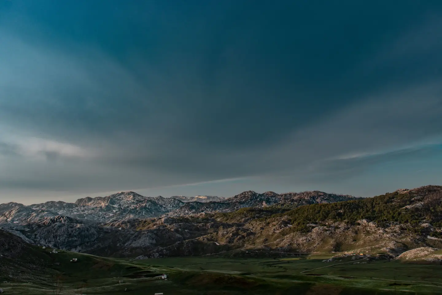
Manito Lake is one of the smaller glacial lakes in Montenegro, located on Mount Lukavica at 1,773 m a.s.l., in the area between Kolašin and Nikšić. It is 220 m long, 140 m wide, and reaches a maximum depth of 13.4 m. It is egg-shaped, clearly defined, and of dark-green clarity — a direct result of its isolated position with no tourist infrastructure. In 2024, Kolašin Municipality initiated a procedure to designate this area a Natural Monument, proposing the protection of 587 hectares for the benefit of wild plant, animal, and fungi species.
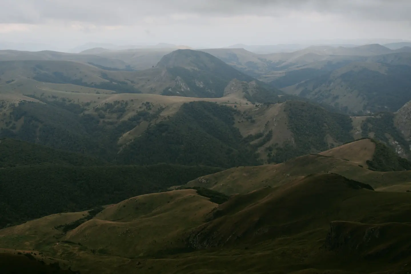
Kapetanovo Lake (1,678 m a.s.l.) is the starting point for the hike to Manito Lake and lies 40 minutes' walk below. It is 480 m long, 200–330 m wide, and reaches a maximum depth of 37 m — considerably larger and deeper than Manito. According to legend, the lake was formed by the carelessness of a mountain fairy who left open a spring above the summer settlement of the Nikšić captain Mušović. The popular mountain trail Kapetanovo Lake – Manito Lake – Stožac (2,140 m a.s.l.) is about 5 km long and takes around 2.5 hours, offering a panoramic view of the entire Mount Lukavica.
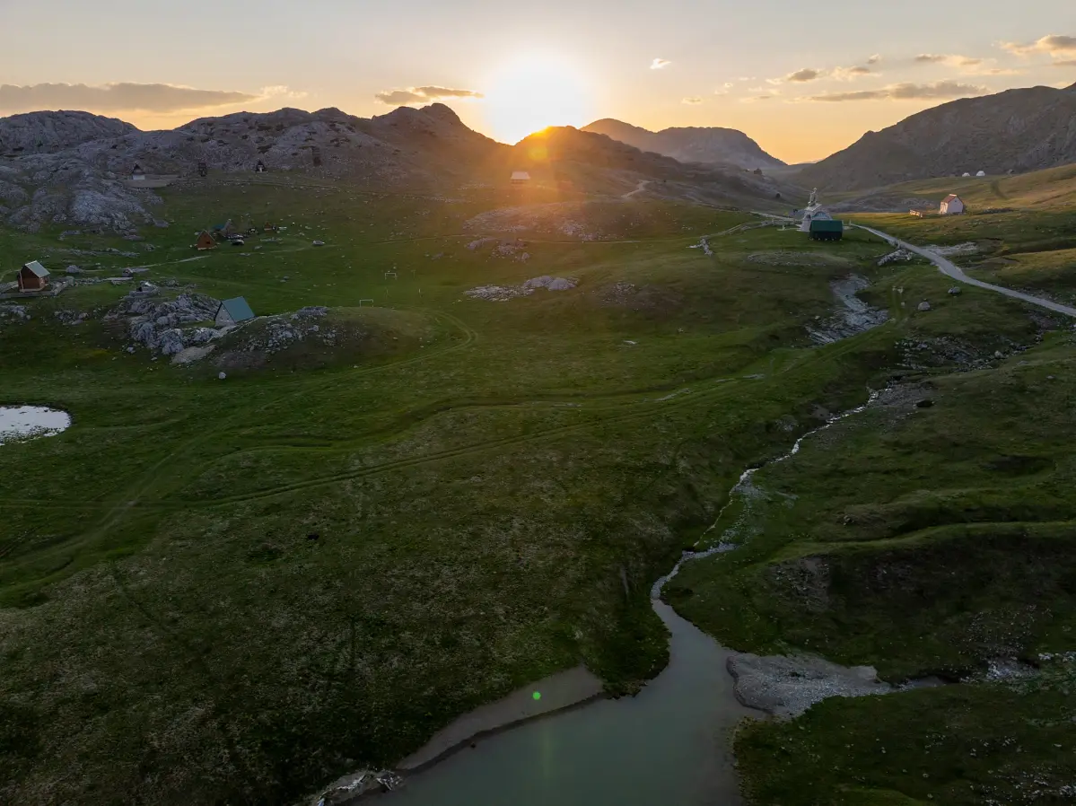
Mount Lukavica is located in central Montenegro between Kolašin and Nikšić, within the Morača mountain range. From the highest peak of Lukavica, views extend over both lakes — Kapetanovo and Manito — as well as the peaks of Veliki Žurim (2,036 m) and Mali Žurim (1,962 m). Roads to Lukavica are in good condition and accessible by passenger car, and the trails are marked. The area is a habitat for diverse mountain flora and fauna, and illegal construction and uncontrolled tourism at Kapetanovo Lake are the reasons why Kolašin Municipality is accelerating the process of protecting this natural asset.
What to do
The trail Kapetanovo – Manito Lake – Stožac (2,140 m), about 5 km long, takes approximately 2.5 hours.
tap to closeThe dark-green water of the lake surrounded by rocky cliffs offers excellent compositions for nature photographers.
tap to closeLukavica is a habitat for diverse wild plant, animal, and fungi species in the heart of central Montenegro's mountains.
tap to closeThe shores of Kapetanovo and Manito lakes are a popular camping spot for hikers during the summer season.
tap to closeGallery
Plan Your Visit
Phone
+382 20 865 522Website
kolasin.meAccess to the lake is not restricted — it is available from the snowmelt (usually May/June) until the first snow (October/November).
Entry is free. In the event that it is declared a Natural Monument, a visiting fee may be introduced — check with the TO Kolašin.
Parking is available at Kapetanovo jezero, from where a walking trail leads to Manito jezero.
The lake is not accessible to persons with reduced mobility. The trail requires solid physical fitness and appropriate hiking footwear.
FAQ

Ask about Montenegro
Ask me about destinations, restaurants or activities.
