Mountains
Hiking
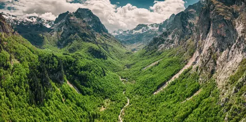
The trail from katun Širokar to the lake descends 443m in elevation through a stunning mountain landscape.
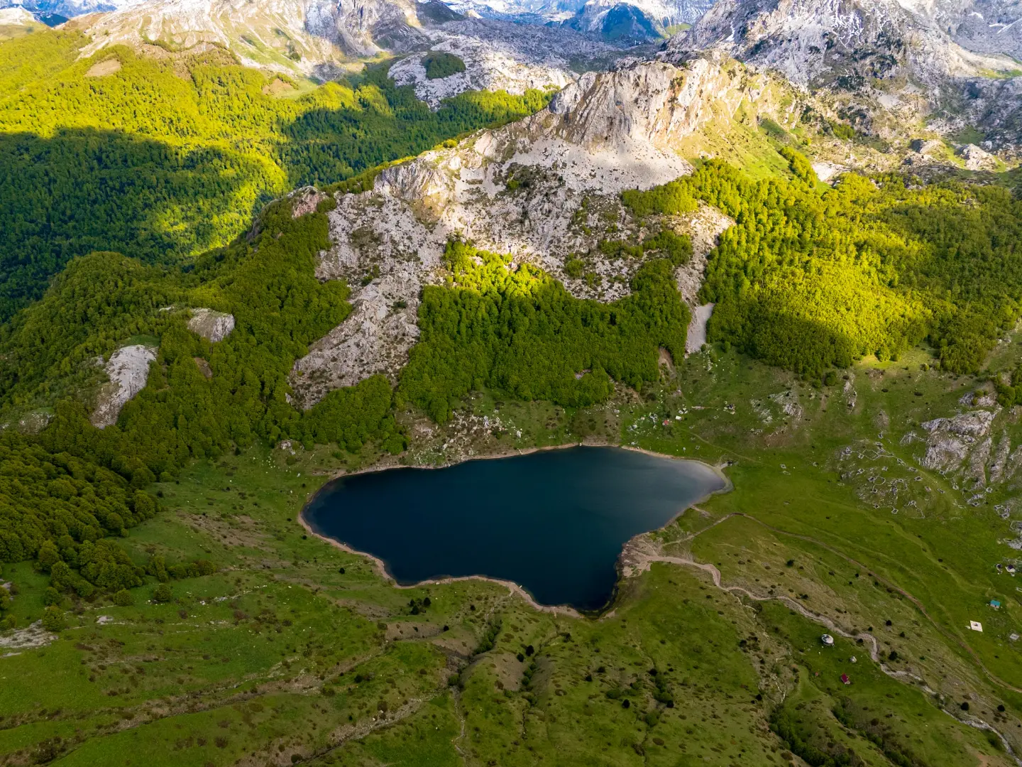
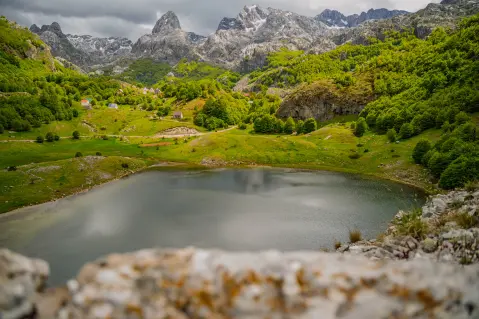
A mountain lake at 1,314m in the heart of the Kuči Mountains, on the border with Albania
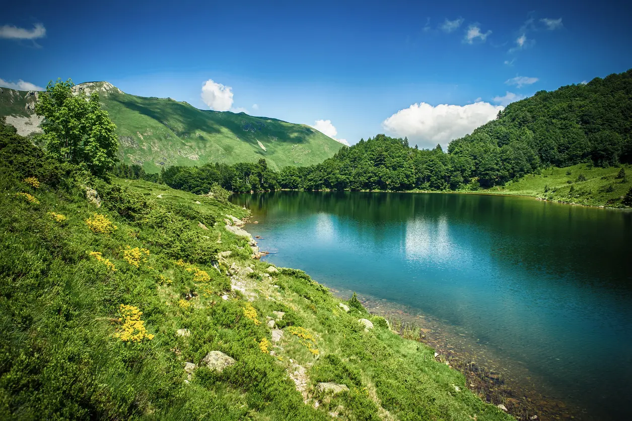
Rikavačko jezero is nestled at the foot of the Vila peak (2,093m) in the Kuči Mountains (Žijovo) massif, just one kilometre from the Albanian border.
The lake sits at 1,314m above sea level, stretching 520m in length, 235m in width, and reaching a depth of 14m, with cold, clear water of a distinctive green hue. It can only be reached by off-road vehicle to the katun of Širokar (1,756m), and from there on foot downhill over a 443-metre elevation difference. The lake is part of the CT-1 hiking traverse 'Through the Mountains of Montenegro' and one of the stops on the Via Dinarica route. There is no electricity or mobile signal in the area, making it one of the few truly wild hiking destinations in Montenegro.
Highlights
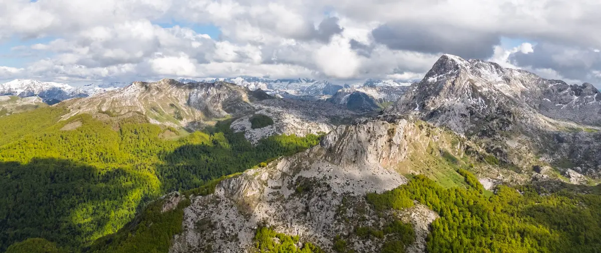
The Vila peak reaches 2,093m above sea level and towers directly above Rikavačko jezero, forming one of the most iconic vistas in the Kuči Mountains. The mountain ridge extending eastward from Vila simultaneously marks the state border between Montenegro and Albania. From the ridge, views extend in both directions – towards the massifs of Komovi and Prokletije. The ascent from the lake to the ridge takes approximately 90–120 minutes and is recommended for more experienced hikers with appropriate equipment.
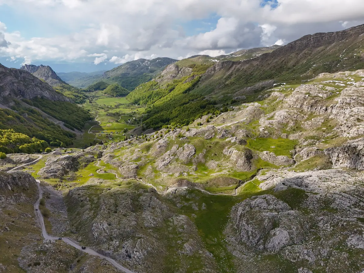
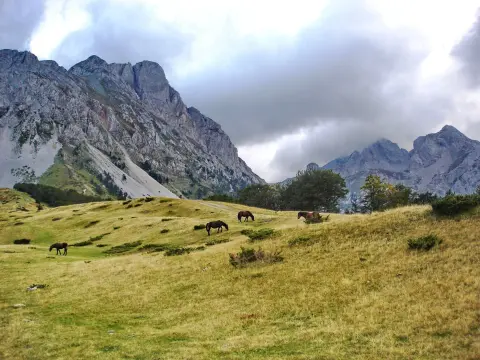
Katun Širokar at 1,756m above sea level is the only point reachable by vehicle, and also the starting point for the hike to the lake. From Širokar, one descends 443 metres in elevation to the lake through open mountain pastures. The katun bears witness to the former summer pastoral life of the Kuči tribe, who used these lands for grazing livestock. Nearby katuni – Vujošević, Jokanovića, and Glavatovića – are still visible in the landscape today.
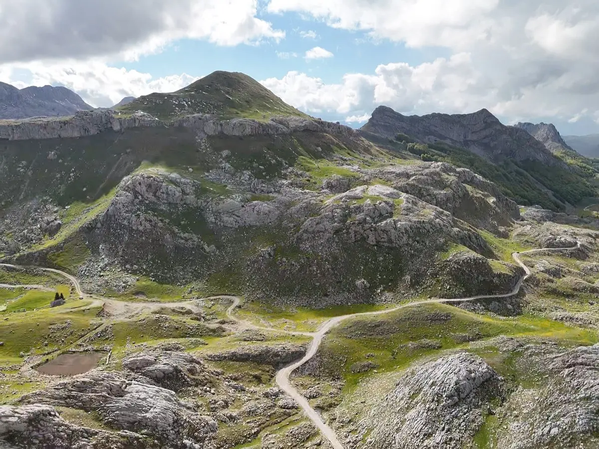
Rikavačko jezero is a stop on the CT-1 mountain traverse 'Through the Mountains of Montenegro', established in 1987, which stretches from Veruša through Žijovo, Komovi, Bjelasica, and Sinjavina to Crno jezero on Durmitor. The traverse is designed for eight days of hiking and connects the national parks of Biogradska gora and Durmitor. The lake is simultaneously a stop on the international Via Dinarica White Trail, placing it on the hiking map of the entire Balkans.
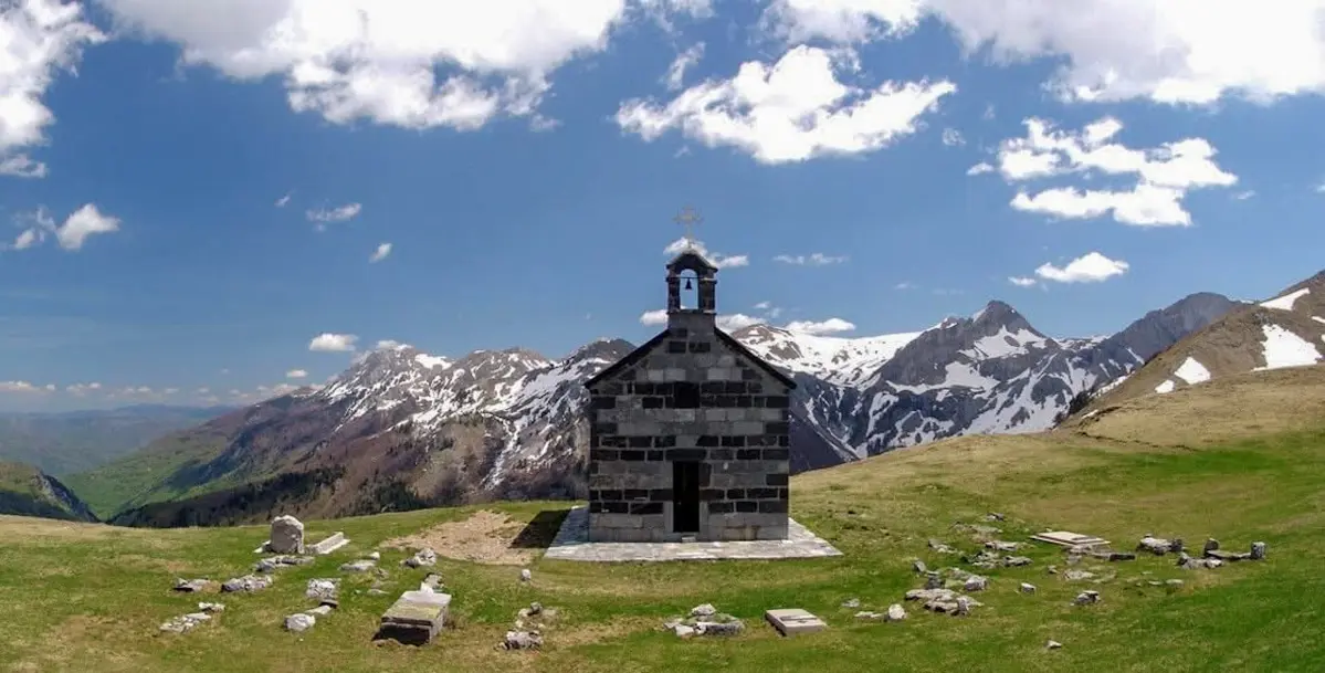
At Krst od Prevlake, below the peaks of Sumore and Planinica, at 1,800m above sea level, stands a church built in 1900 by Prince Nikola Petrović for the repose of the soul of his father, Duke Mirko Petrović, in honour of the brave Kuči tribe. The church is known as the highest-positioned church in Montenegro and one of the highest in Europe. On St. Elijah's Day, 2nd August each year, a folk gathering is held at this site that attracts visitors from across the region.
What to do
Mountains
The trail from katun Širokar to the lake descends 443m in elevation through a stunning mountain landscape.

Food & wine
The lake is frequented by sport fishermen drawn by its rich fish stock in the cold mountain water.

Mountains
Wild camping on the lake shore without electricity or mobile signal, in completely unspoiled nature.

Culture
The Vila peak (2,093m) above the lake offers spectacular frames for mountain and landscape photography.

Mountains
The lake is a stop on the international Via Dinarica White Trail route through the Kuči Mountains.
Hiking, walking and cycling routes that start here or pass nearby, with maps and GPX downloads.

Montenegrin Transversal 1 is a very demanding multi-day one-way hiking tour. It is 143.3 km long, with a total ascent of 5436 m and descent of 5187 m, and passes through two national parks.
143 km5,436 m6–9 days
View trail
Top Biking Trail 4 – ENDLESS LANDSCAPES is a 413.5 km long, very demanding one-way cycling route. It passes through Durmitor National Park, past Žabljak, Kolašin, Podgorica and Danilovgrad, with 8,566 m of elevation gain.
413 km8,566 m5–8 days
View trail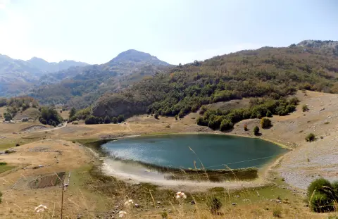
A one-way hiking trail 14.4 km long with 735 m of ascent and 965 m of descent. It passes near the peak of Maglić (2142 m a.s.l.) and offers several springs and viewpoints; estimated duration is 6 h 10 min.
14.4 km735 m5–7½ h
View trail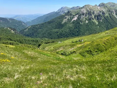
Demanding hiking tour of 18.3 km with total elevation gain of 931 m and descent of 538 m. The trail starts near Rikavačko jezero and leads through mountainous terrain at altitudes from 1260 m to 1792 m.
18.3 km931 m5½–8 h
View trailA 30.9 km tour following the ridge with a total ascent of 2722 m, passing several peaks above 2000 m. Intended for experienced hikers planning a multi-day trip.
30.9 km2,722 m2–3 days
View trail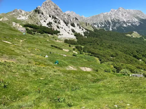
An easy hiking tour from Mojan via Kapuran to Carine: 2.5 km, ascent 304 m, Slapovi waterfalls, peak Kapuran, and the Mojan spring.
2.5 km304 m1½–2 h
View trailThe trail to Zagon Katun is 3.3 km long and easy to walk. It runs in one direction on a dirt road surface, with several drinking water points along the way.
3.3 km103 m55–80 min
View trail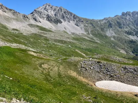
A trail 15.8 km long, with a total ascent of 740 m, leading through forested and earthen terrain, past springs, viewpoints, and huts. The estimated walking time without breaks is 5 h 55 min; the route is demanding and goes in one direction.
15.8 km740 m5–7 h
View trailGallery



Plan Your Visit
Admission
Free access
Accessible throughout the year, with restrictions in winter months due to snow on the unpaved road
Free parking at the Sirokar mountain hut (1,756m above sea level) – from there you continue on foot
Not accessible to persons with reduced mobility – access exclusively on foot or by off-road vehicle on an unpaved road
FAQ
Around here