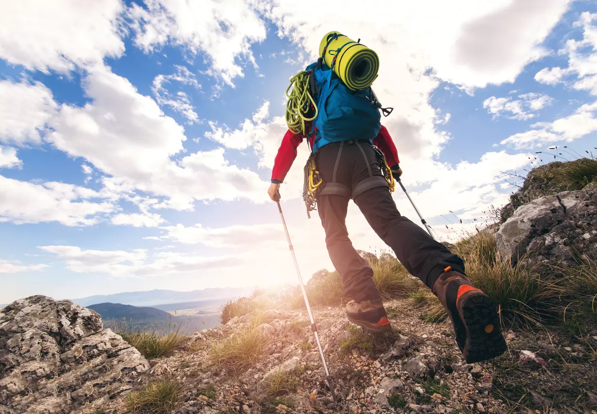
Where every step becomes a story — along marked trails through the wilderness of Durmitor, Komovi and Prokletije, Montenegro reveals its most authentic soul.
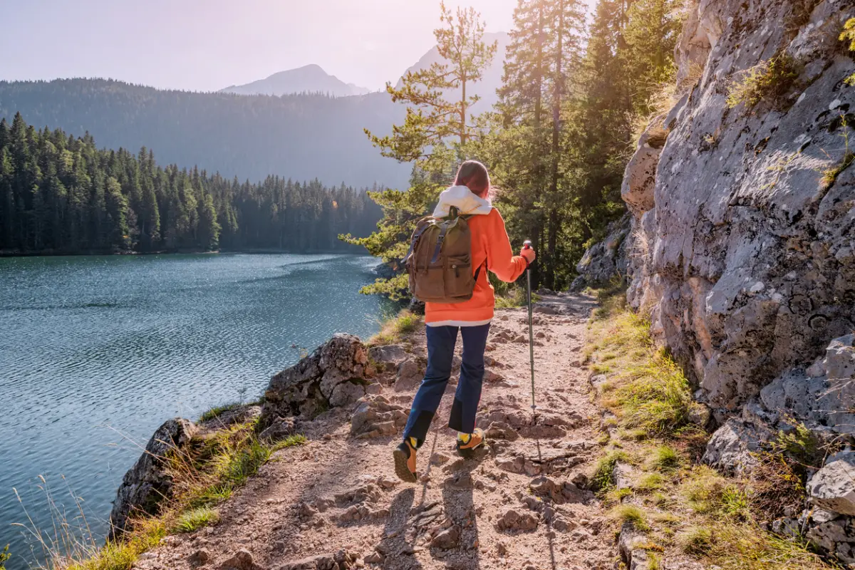
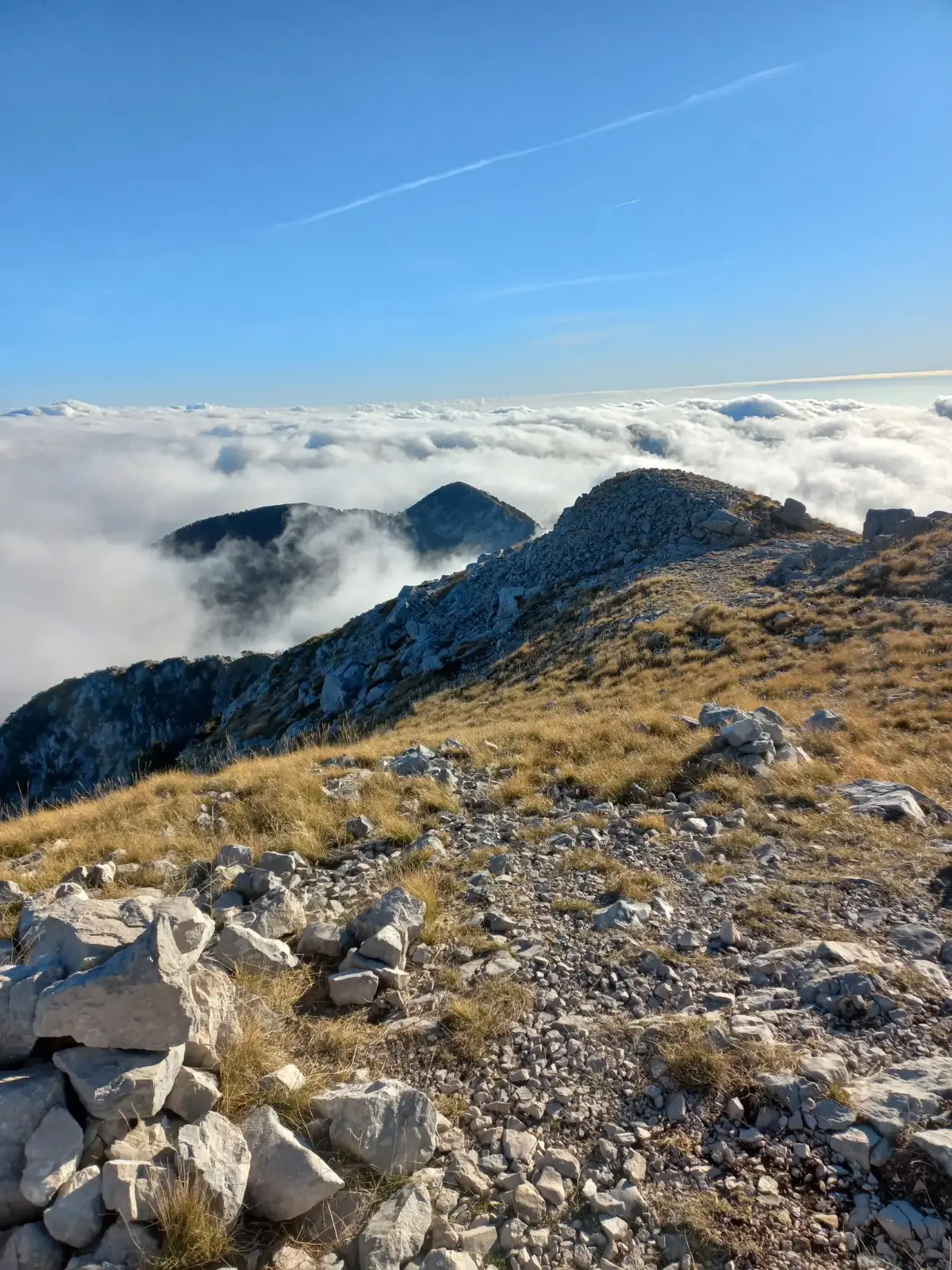
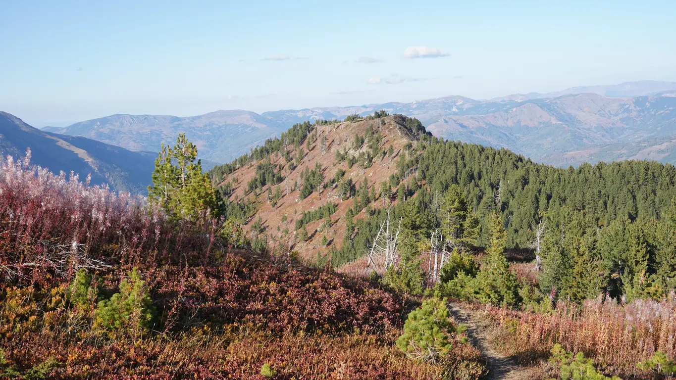
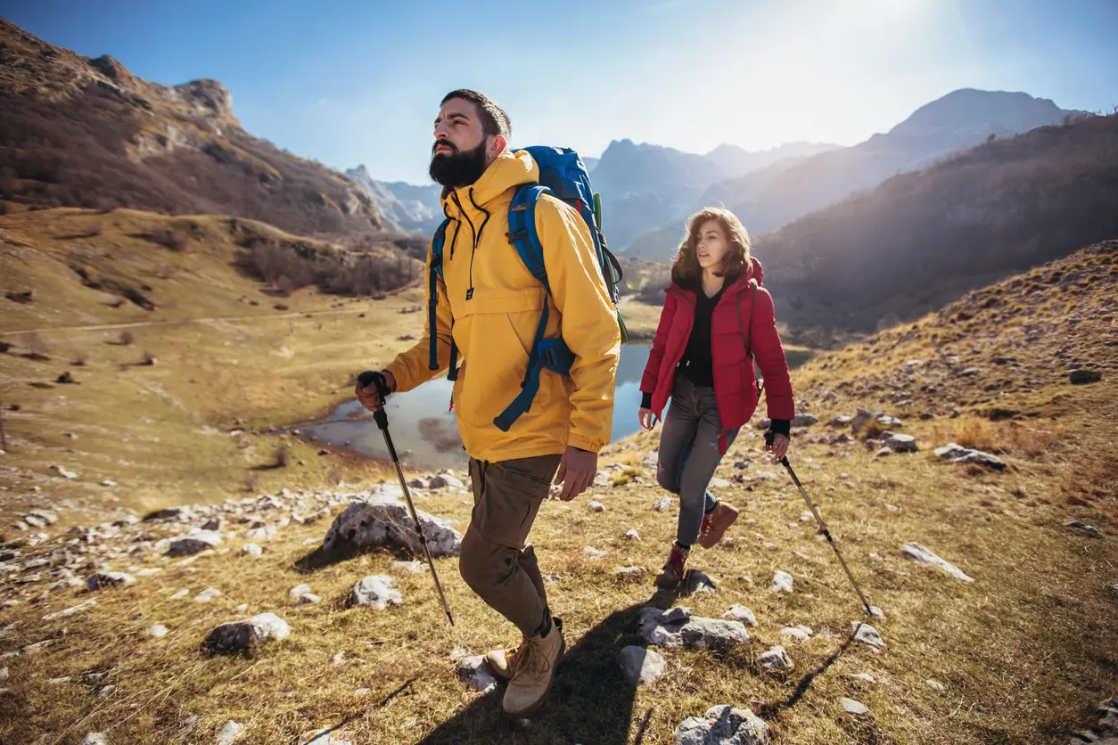
Montenegro is a natural playground where the mountains are not a backdrop — they are the stage. Along marked trails through Durmitor, Komovi and Prokletije, you discover a land that has kept its wilderness untouched, where every ascent rewards you with a panorama rarely seen elsewhere in Europe. This is a land of true hiking adventures.
Over 1,480 km of maintained hiking trails lead through national parks, canyons and peaks reaching 2,536 m above sea level.
Total Trails
3,000 km network
Highest Peak
Zla Kolata 2,536 m a.s.l.
Marked Trails
1,480 km hiking
Featured Mountains
Durmitor, Komovi, Prokletije
Season
All year
National Parks
5 parks
Highlights
Top Routes
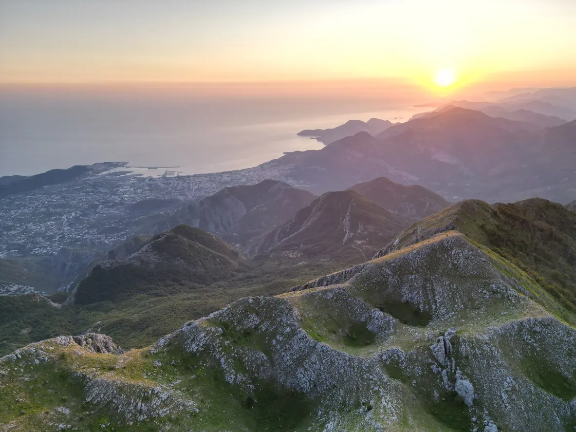
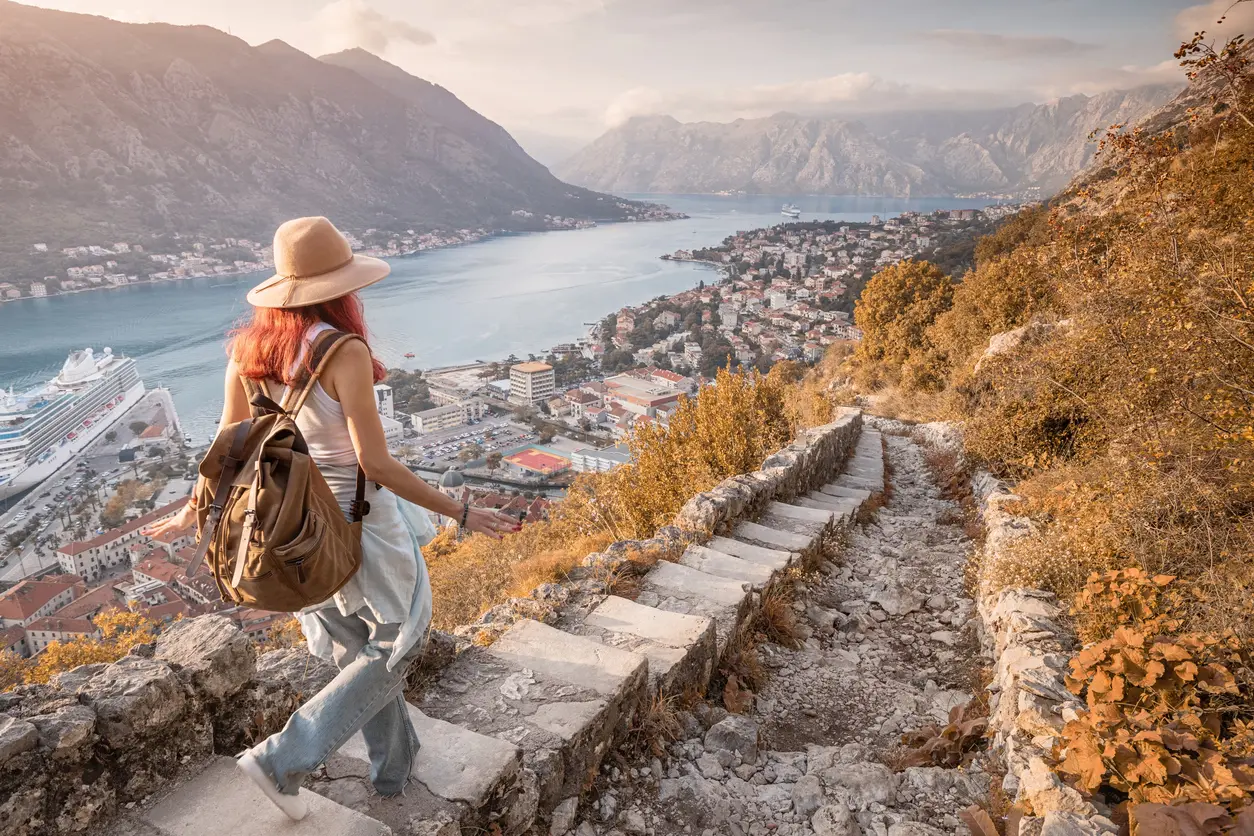
Orjen, Herceg Novi
Orjen, Herceg Novi
The trail to the highest peak of Orjen (1,894 m a.s.l.) starts from Vrbanje and leads through a karst landscape dotted with sinkholes, characteristic of this highest coastal mountain. Length approximately 12 km return, elevation gain 900 m, duration 6–7 hours. From the summit, you can see Boka Kotorska, the Adriatic Sea and the mountains of Herzegovina.
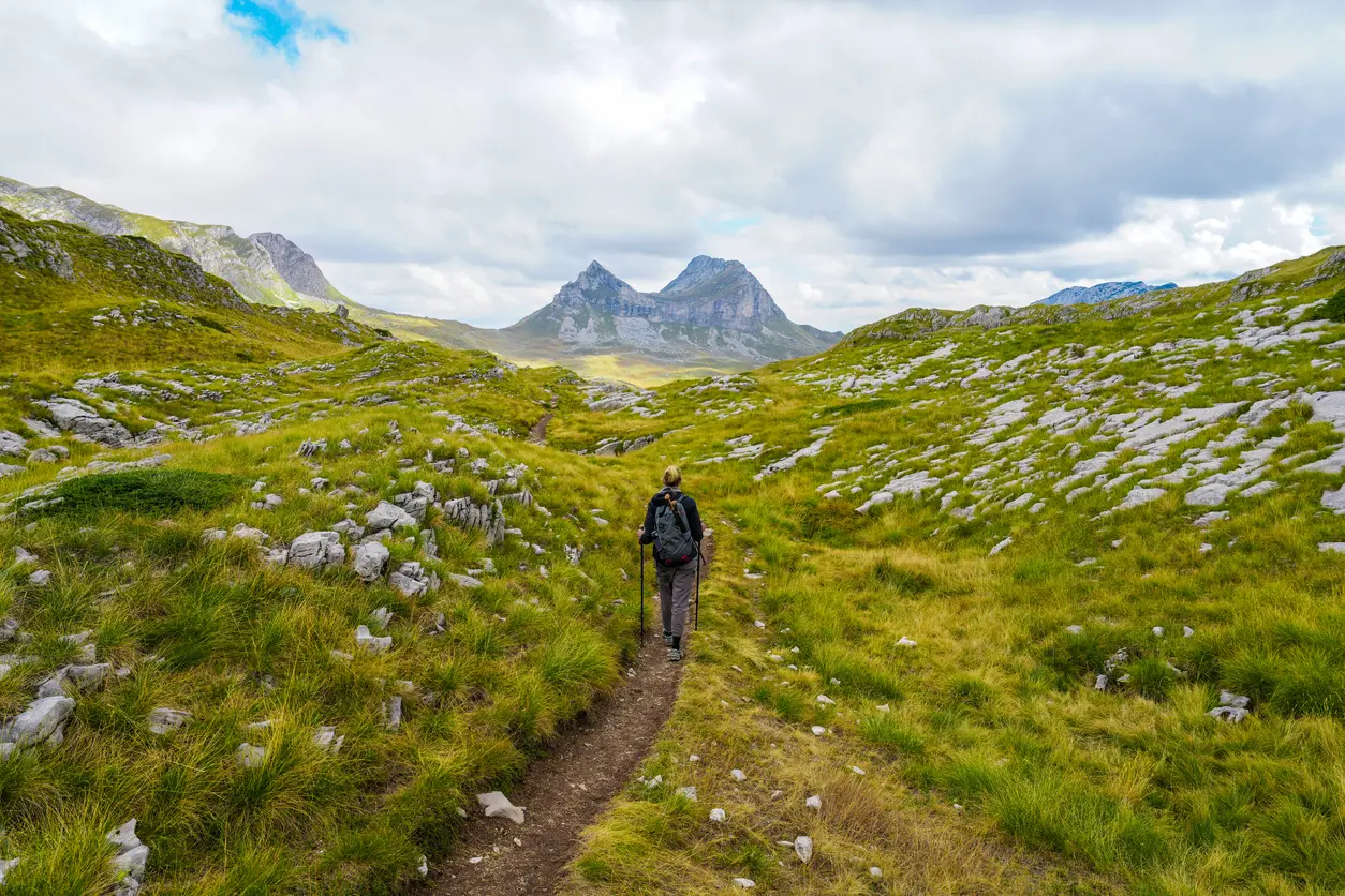
Komovi, Andrijevica
Komovi, Andrijevica
The ascent to Kom Kučki (2,487 m a.s.l.) departs from the mountain settlement of Carine and passes through pastures and pine forests before reaching alpine terrain. Approximately 10 km one way, with an elevation difference of 950 m. The route offers overnight stays in mountain hut lodgings and the chance to taste homemade cheese and kajmak from shepherds who spend their summers on Komovi.
Rumija, Virpazar — Sutomore
Rumija, Virpazar — Sutomore
Crossing over Rumija (1,593 m a.s.l.) with a simultaneous view of Lake Skadar and the Adriatic Sea — a unique experience in Europe. The classic tour goes from Virpazar via Stara Vrba to the summit and descends towards Sutomore, approximately 18 km, 1,400 m of ascent. The summit is adorned with an iron cross that believers carry up every year on Trinity Sunday.
Sinjajevina, Kolašin — Mojkovac
Sinjajevina, Kolašin — Mojkovac
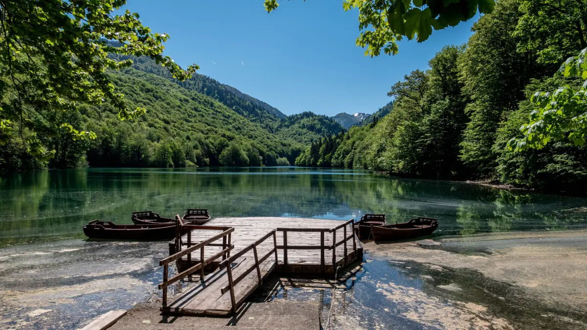
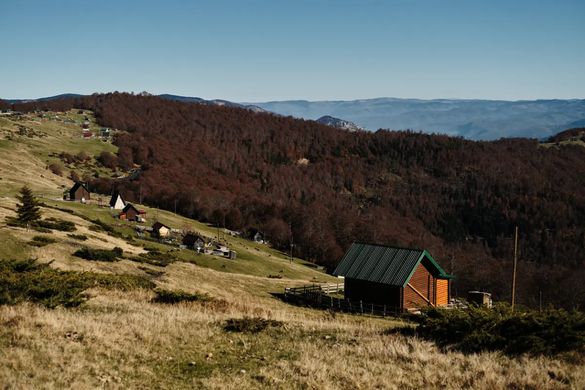
A multi-day hike across the largest Montenegrin highland plateau (pastures above 1,800 m a.s.l.) to Kapetanovo jezero, the largest glacial lake in Montenegro. Typically 2 days, 25 km in total, with an overnight stay in the mountain huts at Lukavica or Štavnje. Rich pastoral culture and untouched wilderness without mass tourism.

Lovćen National Park, Cetinje
Lovćen National Park, Cetinje
A circular trail from Ivanova korita passes through a beech forest and emerges at the summit of Jezerski (1,657 m a.s.l.) where Njegoš's Mausoleum is located, the highest mausoleum in Europe. Length 8 km, elevation difference 400 m, duration approximately 3 hours. The view from the summit encompasses 2/3 of Montenegro — from the Lovćen valley to Albania and Italy in the distance.
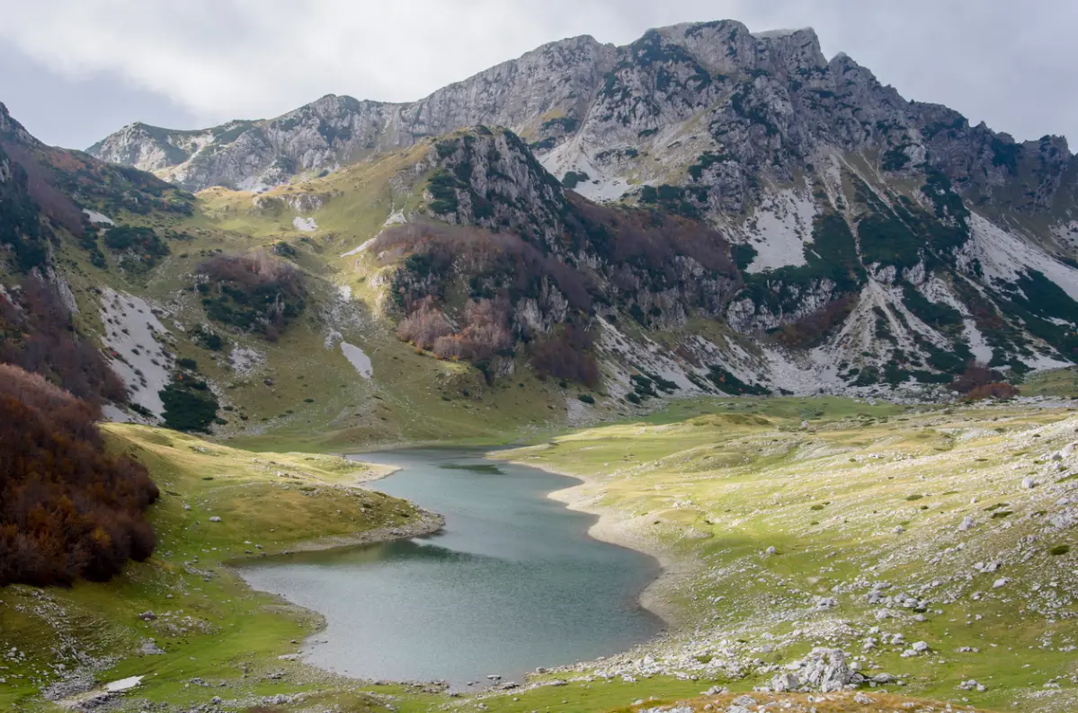
Nacionalni park Durmitor, Žabljak
Nacionalni park Durmitor, Žabljak
Ascent to Bobotov kuk (2,523 m asl), the second highest peak in Montenegro, via the Lokvica valley. Total distance approximately 16 km return, elevation gain 1,100 m, duration 8–10 hours. The trail passes by Modro and Zeleno jezero, and the final section requires moving over rocks with fixed ropes. From the summit, the entire Durmitor massif, the Tara canyon, and Prokletije to the east are visible.
Durmitor National Park, Žabljak
Durmitor National Park, Žabljak
A two-day trek to the most isolated part of Durmitor — the Škrčka Lakes, nestled in a deep cirque beneath the peaks of Planinica and Terzin Bogaz. Day one: ascent from Sedlo to Veliko and Malo Škrčko Lake (16 km), overnight stay in a mountain hut. Day two: return via the summit of Planinica (2,330 m a.s.l.) and the Sušica valley. Approximately 30 km in total.
Where the mountains of Montenegro guard secrets revealed only to those who walk.
Peaks above the clouds, whispering primeval forests, katuni fragrant with homemade cheese — Montenegro is a mountain adventure you will never forget.
Gallery


Did You Know?
Montenegro is home to one of the three remaining primeval forests in Europe — Biogradska gora, through which maintained hiking trails pass. Bobotov kuk in Durmitor, standing at 2,523 m a.s.l., is surrounded by 18 glacial lakes that you can visit on foot during the summer. one of the three remaining primeval forests in Europe — Biogradska gora
Plan Your Visit
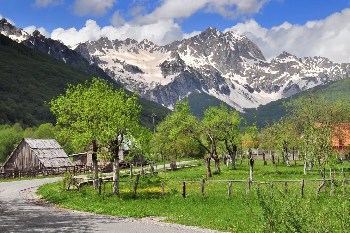
June to September is ideal for high mountain trails and summit ascents. Spring (April–May) brings flowering meadows and rushing waterfalls, while autumn is perfect for walks through Biogradska gora.
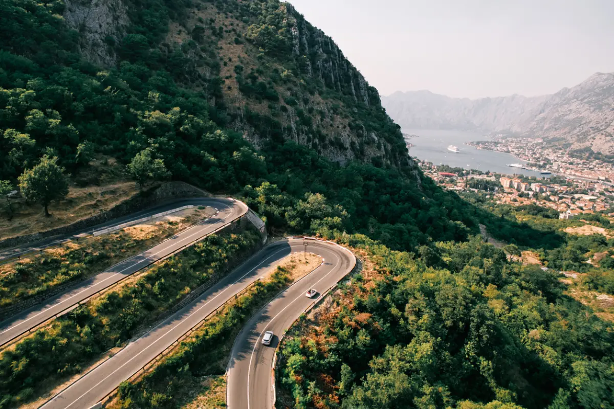
The main gateway for hiking in Durmitor is Žabljak, approximately 160 km from Podgorica. For Prokletije and Komovi, the starting point is Plav or Andrijevica. Kolašin is the ideal base for Bjelasica and the Nordic trails, located 65 km from Podgorica.
FAQ