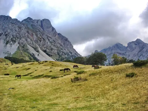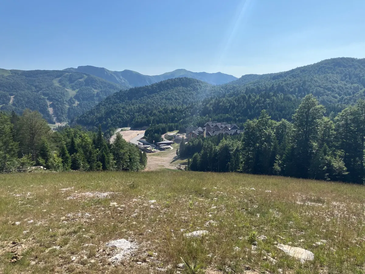
Mountains
Skiing and snowboarding
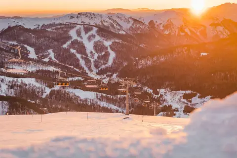
45 km of groomed slopes at Kolašin 1450 and 1600, for all levels from beginners to advanced.
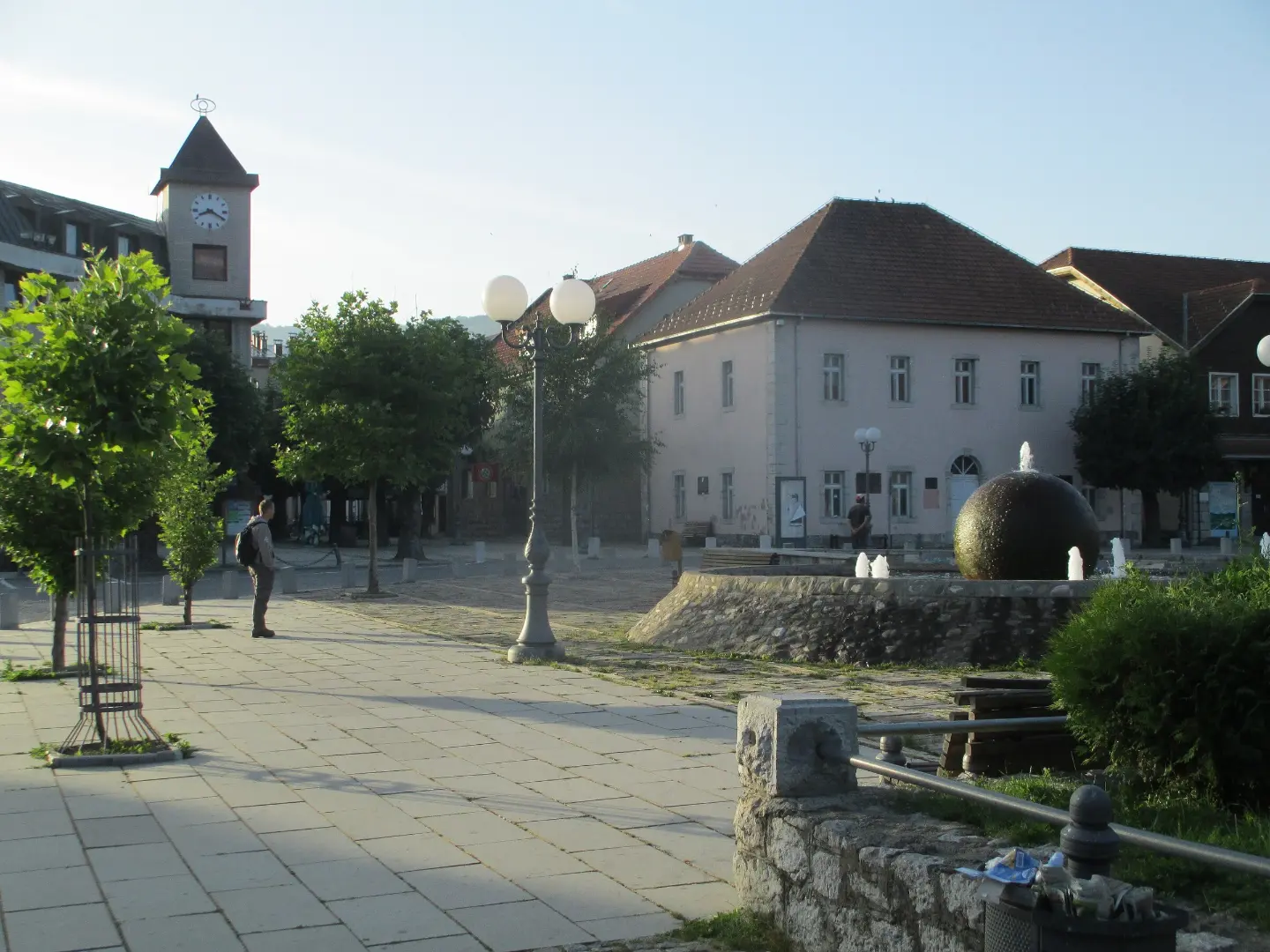
Mountain town at 954m – ski resort and summer mountain centre
Kolašin is a mountain town in northern Montenegro, situated at an altitude of 954 metres, at the foot of the Bjelasica and Sinjajevina mountains.
It is known as the country's leading winter tourism centre, with two ski resorts – Kolašin 1450 and Kolašin 1600 – which together offer 45 km of groomed slopes between 1,420 and 2,072 metres above sea level. In summer, the town becomes a starting point for hiking, cycling, fishing and rafting on the Tara River, while Biogradska gora National Park, just a few kilometres away, attracts nature lovers with its primeval forests and glacial lakes. Excellent transport connections – by motorway from Podgorica in just 41 km and by the Belgrade–Bar railway line – make Kolašin accessible year-round.
Highlights

Two interconnected ski resorts on Bjelasica mountain form the backbone of Kolašin's winter tourism. Together they offer 45 km of groomed slopes between 1,420 and 2,072 metres above sea level, catering to all levels of skiers – from beginners to advanced. Kolašin 1450 is the older resort, opened in 1991 under the name Jezerine, while Kolašin 1600 was built in 2019 and connected to the neighbouring resort in the 2021/22 season via the six-seat K-7 chairlift. The ski resorts have a ski school, equipment rental and parking for 500 vehicles.

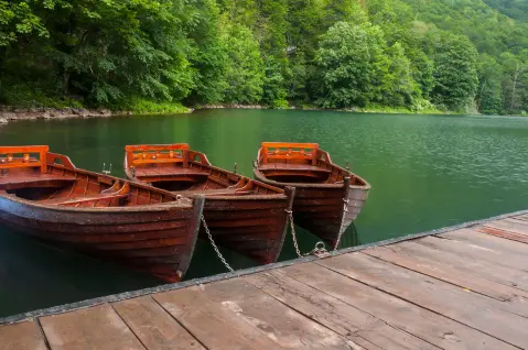
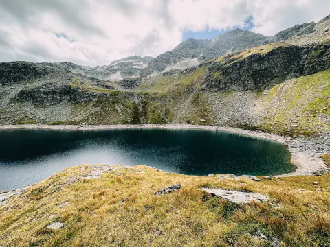
Biogradska gora National Park is located about ten kilometres from Kolašin and preserves one of the last primeval forests in Europe, protected since 1878. At the heart of the park lies Biogradsko jezero – a glacial lake surrounded by centuries-old forest, around which a circular hiking trail of approximately 3.5 km leads. In the surrounding area there are 5 more glacial lakes. The park is home to numerous plant and animal species, and in summer offers boat rentals on the lake and organised ecological tours.

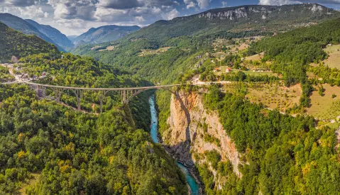
The Tara River flows west of Kolašin and forms the deepest canyon in Europe after the Grand Canyon – in some places reaching depths of up to 1,300 metres. The Tara Canyon is protected by UNESCO as part of Durmitor National Park. From Kolašin it is easy to organise a rafting or kayaking trip on the Tara – Restoran Dobre Vode, located at the tenth kilometre of the road towards Biogradska gora National Park directly on the riverbank, is a popular rest stop on the way to the canyon.

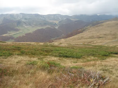
Bjelasica is a mountain massif that directly surrounds Kolašin, with an average elevation of around 1,600 metres and its highest peak Crna Glava at 2,139 metres. In summer, the katuns of Bjelasica – traditional mountain homesteads – are a popular destination for organised and independent hiking. The Kolašin Tourist Organisation offers guided walking tours to the katuns, and marked trails depart directly from the town centre at the Vodenica site towards Bašanje brdo and beyond. The mountain is rich in forest fruits and mushrooms during summer and autumn.
What to do
Mountains
45 km of groomed slopes at Kolašin 1450 and 1600, for all levels from beginners to advanced.

Mountains
Organised and independent tours on Bjelasica and Sinjajevina with experienced guides.

Adventure
Marked cycling routes around Kolašin, including trails towards Bašanje brdo and Barutana.

On the water
The Tara River, flowing west of Kolašin, offers rafting and kayaking in a UNESCO-protected canyon.

Food & wine
Fishing on the Tara and Morača rivers around Kolašin, rich in trout.
What's on
Plan your stay
Live offers from local hosts on our booking platform. Nothing is charged online – you pay the host on site.
Booking requests are confirmed by the host; payment on site. Offers come from the Travel to Montenegro booking platform.
Hiking, walking and cycling routes that start here or pass nearby, with maps and GPX downloads.
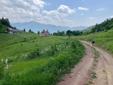
The hiking trail from Mateševo via Ključ to Krivi Do is 15.3 km long. It has 949 m of total ascent, the highest point at 1791 m above sea level, and takes about 5 h 40 min without breaks.
15.3 km949 m5–7 h
View trail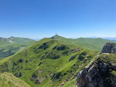
The hiking tour from Kolašin to Crna Glava is 22.9 km long with a total ascent of 1513 m. It passes through Biogradska Gora National Park, alongside lakes and peaks.
22.9 km1,513 m7½–10½ h
View trail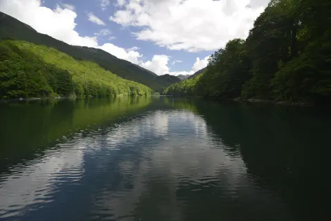
The hiking trail from Radigojna to Kraljevo kolo is 24,0 km long, with a total ascent of 978 m and descent of 1070 m. The estimated duration without breaks is 8 h 40 min, and the surface is mostly macadam, with asphalt and forest sections.
24.0 km978 m7½–10½ h
View trail
A demanding one-way cycling route 398,8 km long, with a total ascent of 9352 m. It passes through Biogradska Gora National Park and Durmitor National Park, past Bijelo Polje, Kolašin, Nikšić and Žabljak.
399 km9,352 m5–8 days
View trail
Top Biking Trail 1 – SALTY AND SWEET is a very demanding one-way cycling route 406.3 km long. It passes by Perast and Dobrota and through Lovćen National Park and Durmitor National Park.
406 km10,191 m6–8 days
View trail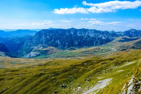
Top Biking Trail 4 – ENDLESS LANDSCAPES is a 413.5 km long, very demanding one-way cycling route. It passes through Durmitor National Park, past Žabljak, Kolašin, Podgorica and Danilovgrad, with 8,566 m of elevation gain.
413 km8,566 m5–8 days
View trailThe trail, 16.4 km long, leads from Kolašin towards Krivi Do with a total ascent of 1,200 m. It passes by two mountain peaks and several water sources, and is recommended for experienced hikers.
16.4 km1,200 m5½–8 h
View trail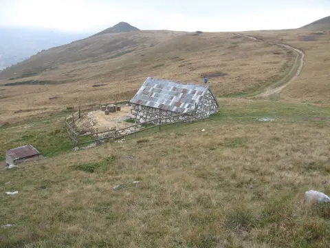
The Katun Road – Untold Bjelasica cycling route is 95.7 km long and passes through Biogradska gora National Park. It is very demanding, with an elevation gain of 3,723 m and the highest point at 1,942 m above sea level.
95.7 km3,723 m2–3 days
View trailGallery


Did You Know?
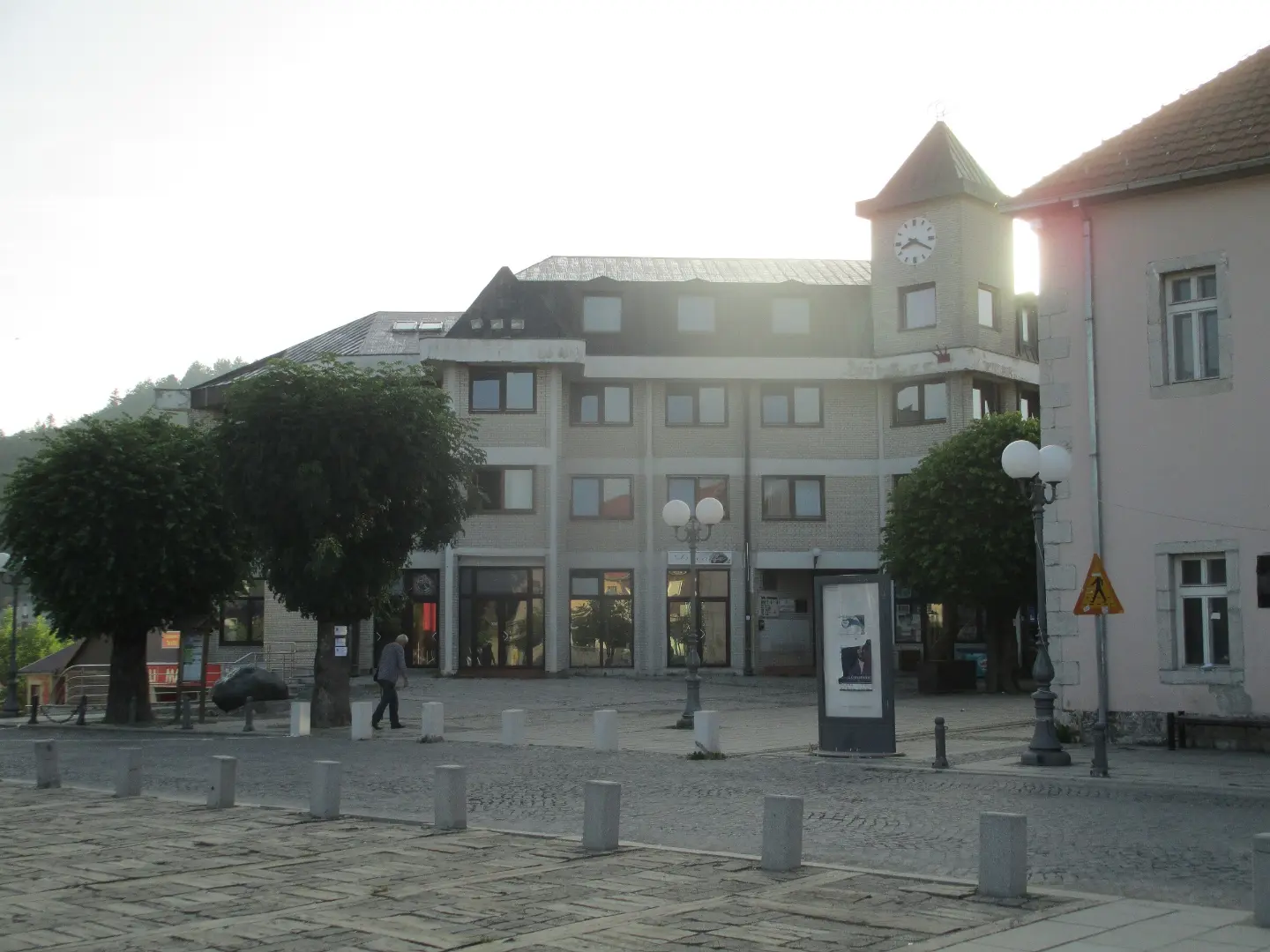
Kolašin is located at an altitude of 954 meters and is therefore traditionally considered an air spa. It is only 41 km from Podgorica via the Princess Ksenija highway. an altitude of 954 meters
Plan Your Visit
Phone
+382 20 865-140Website
www.kolasin.meThe town is accessible all year round. Ski resorts operate in the winter season (December–March), usually 09:00–16:00.
Free entry to the town. Ski passes for Kolašin 1450/1600 are available at daily and season rates (check kolasin1450.com).
Free parking at the Kolašin 1450 ski resort – capacity 500 vehicles.
The city center is relatively flat and accessible. Ski centers have modern lifts adapted to different users.
FAQ
Around here