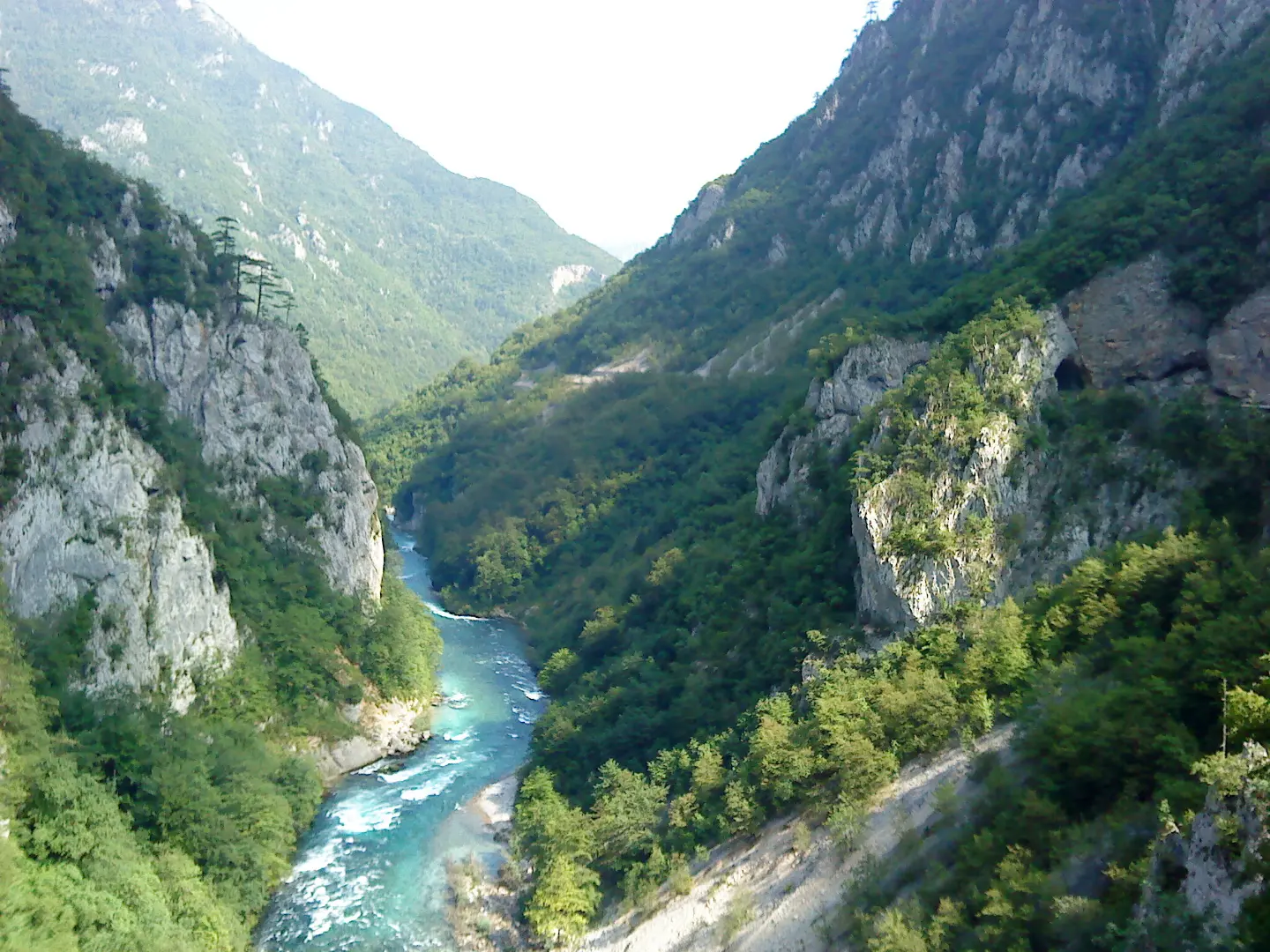
Via ferrata in the Piva Canyon with a traverse low above the water and a final vertical section of about 80 m.
Via ferrata in the Piva Canyon with a traverse low above the water and a final vertical section of about 80 m.
The Piva via ferrata starts at the bridge over the Piva River in the canyon, about a 25-minute drive from Plužine. According to the organizer's offer, the tour lasts about two hours, includes a traverse several meters above the water, and ends with a vertical section of about 80 m. Information about length (about 900 m) and difficulty rating comes from commercial descriptions and should be checked with the organizer.
Sources: organizer's offer (Manawa / TaraSport).
Data are indicative and for planning purposes; the number and grades of routes change as climbing areas are equipped. For the current guide, check with local climbing clubs.
Mandatory via ferrata equipment and helmet; a guide is recommended. Emergency: 112.
Emergency number in Montenegro: 112.
Good to know
Best season
From spring to autumn.
Getting there
From Plužine towards Šćepan Polje through the Piva Canyon to the starting bridge (about a 25 min drive).
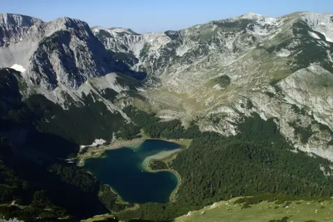
A very demanding multi-day one-way hiking tour, 23.1 km long; total ascent is 1,562 m and total descent is 1,774 m. It leads from Maglić past viewpoints, springs and shelters to Pivska planina; the highest point is at 2,142 m a.s.l.
23.1 km1,562 m2–3 days
View trail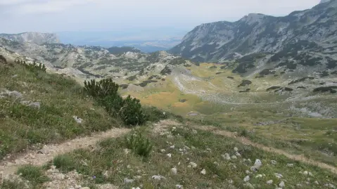
A marked hiking tour in Durmitor National Park: 42,4 km, ascent 1630 m, descent 1747 m. It starts near Crno Jezero, passes by Sušičko Jezero, Planinica Peak and Skakala Waterfall; recommended for experienced hikers.
42.4 km1,630 m2–3 days
View trailA short hiking tour (2.0 km) to Vrsta Peak. It involves 456 m of ascent and takes about 1 h 45 min of walking, mostly over rocky terrain.
2.0 km456 m1½–2 h
View trailHiking trail 2.3 km long with 69 m ascent and 255 m descent. It leads through high mountain terrain near Trnovačko and Stabanska Lakes.
2.3 km69 m50–70 min
View trailShort mountain trail in the area of Trnovačko Lake: 1.3 km, 69 m of ascent and about 25 min of walking. Moderate, marked, with an earthen and forest surface.
1.3 km69 m20–30 min
View trailBioč is a one-way hiking trail 2.2 km long. It is demanding (T3) and leads over rocky terrain, with an ascent of 6 m and a descent of 319 m; the estimated walking time is 55 min.
2.2 km45–65 min
View trailThe ascent to Trzivka is a one-way hiking trail 1.7 km long. It covers 225 m of elevation gain and takes about 1 hour of walking without breaks, leading to the summit of Trzivka.
1.7 km225 m50–70 min
View trailThe trail from Stabna via Stabanski katun to Veliki Vitao is 8.3 km long, with a total ascent of 1,364 m and takes about 5 h 45 min without breaks. It is intended for experienced hikers; the entire route is marked and leads through forest and mountain terrain.
8.3 km1,364 m5–7 h
View trailTimes and grades are estimates. Conditions change: check the weather and local information before you set out. Map and data sources →
