Tara Canyon
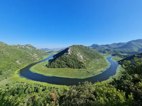
The Tara has carved a canyon about 78 km long and up to 1,300 m deep, one of the deepest in Europe. The canyon is part of Durmitor National Park.
Đurđevića Tara Bridge: completed in 1940, about 172 m above the river.

Durmitor, Tara Canyon, Biogradska Gora and Prokletije
The largest and most sparsely populated region of Montenegro: three national parks, the Tara Canyon, glacial lakes and the mountain towns of Žabljak, Kolašin and Plav.
Did You Know?
The Đurđevića Tara Bridge was completed in 1940. Two years later, partisans, with the help of one of the engineers who built it, Lazar Jauković, demolished its central arch to stop the Italian army. The Italians captured and executed Jauković, and the bridge was rebuilt in 1946.
The Tara has carved a canyon about 78 km long and up to 1,300 m deep, one of the deepest in Europe. The canyon is part of Durmitor National Park.
Đurđevića Tara Bridge: completed in 1940, about 172 m above the river.
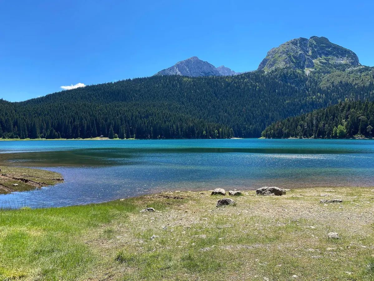
Durmitor National Park has been on the UNESCO World Heritage List since 1980. The massif has 18 glacial lakes, which locals call mountain eyes. The best known is Crno Jezero, near Žabljak, at about 1,416 m above sea level; the trail around the lake is about 3.6 km long and offers a view of Međed, and the water is cold even in July.
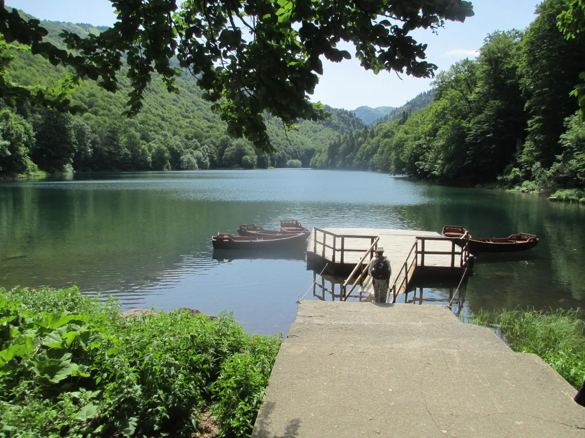
A national park since 1952, with a primeval forest where trees are up to 500 years old. King Nikola protected the forest from logging as early as 1878. Biogradsko Jezero is at 1,094 m.

Montenegro's youngest national park, established in 2009, in the far east, on the border with Albania and Kosovo. The Grebaja and Ropojana valleys are surrounded by steep limestone peaks, and on the border is Zla Kolata (2,534 m), the highest peak in Montenegro.
Starting points: Plav and Gusinje.
13 municipalities, from Plužine and Žabljak in the west to Rožaje, Plav and Gusinje on the border with Kosovo and Albania.
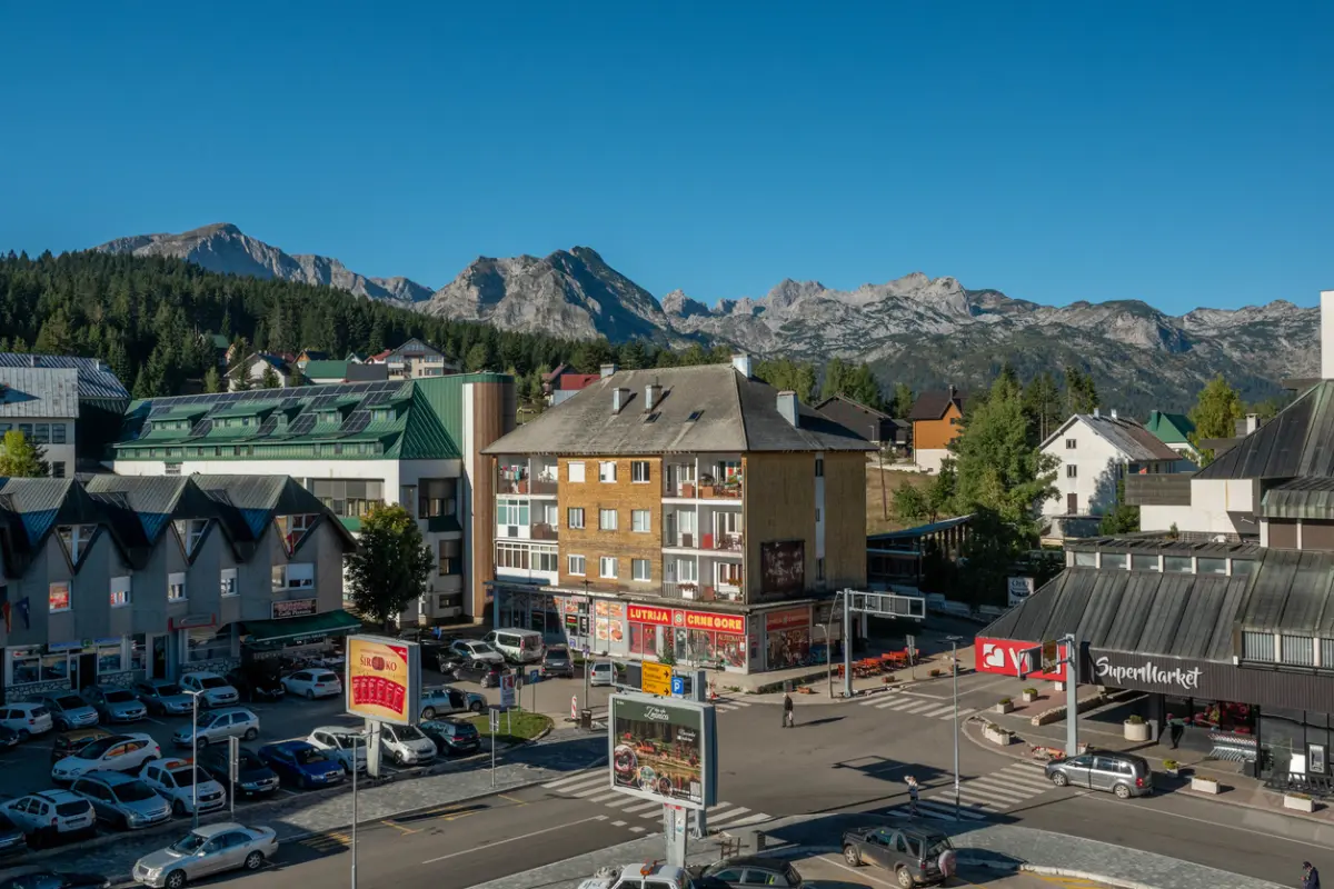 Durmitor
A town at 1,456 m above sea level, one of the highest in the Balkans and the main base for Durmitor National Park. From here you go to Black Lake, Bobotov Kuk, skiing on Savin Kuk and rafting on the Tara.
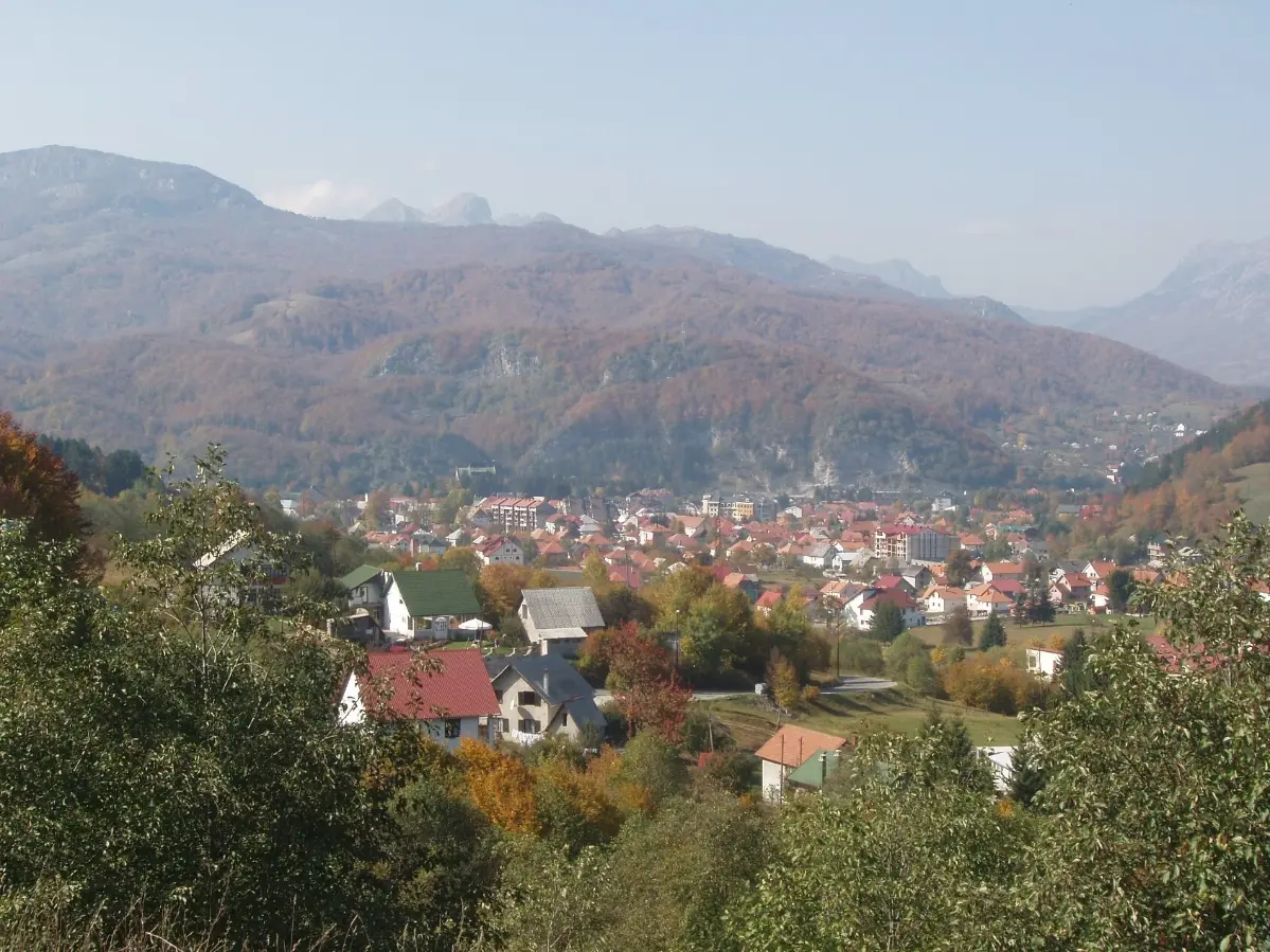 Bjelasica
A mountain town at the foot of Bjelasica, a base for Biogradska Gora and the ski centres Kolašin 1450 and Kolašin 1600. Bjelasica is southeast of Durmitor, a mountain of gentle ridges and pastures with katuns. It has a station on the Belgrade–Bar railway, so you can also arrive by train.
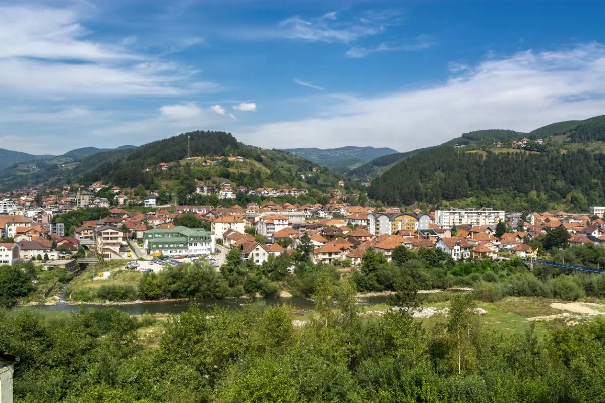 Lim Valley
A town on the Lim River and a starting point for the northeast. In the vicinity is Dalovića Cave, and the Belgrade–Bar railway passes through the town.
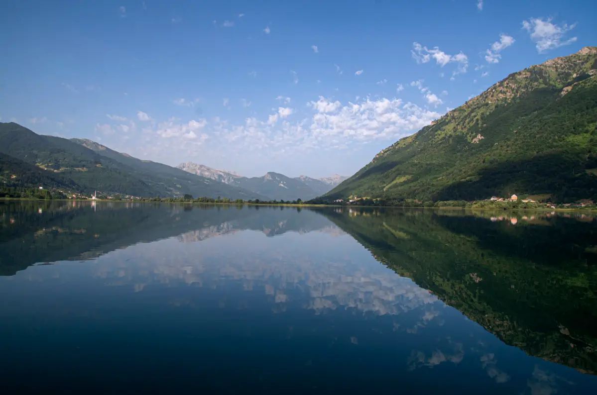 Prokletije
The entrance to Prokletije National Park. Plav lies by Lake Plav, and Gusinje is the starting point for Ali Pasha's Springs and for the trails of the Peaks of the Balkans circular route.
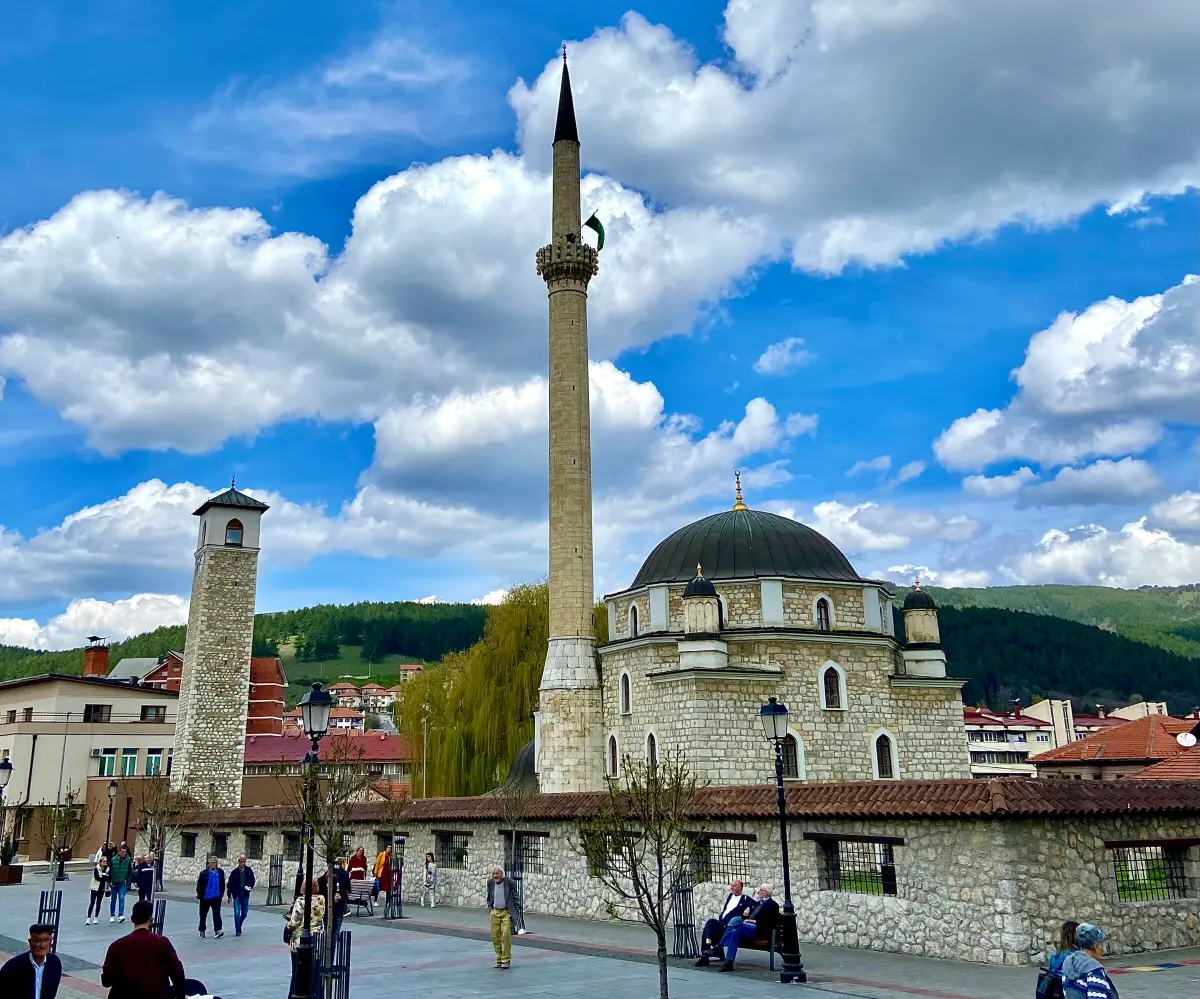 Far North
The largest town in the region and the northernmost in Montenegro, on the Ćehotina, with the Husein Pasha Mosque and the Monastery of the Holy Trinity, both from the 16th century. The area is known for Pljevaljski cheese.
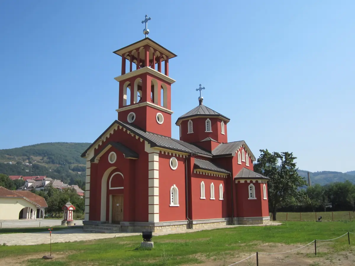 Tara Valley
A town on the Tara, known for the Battle of Mojkovac in January 1916, in which the Montenegrin army held back the Austro-Hungarian forces. It is the nearest town to the entrance to Biogradska Gora and has a station on the Belgrade–Bar railway.
December–March
Winter season
On Durmitor and in Kolašin, approximately, depending on snow. January and February are best for skiing.
April–October
Rafting season
The water is highest in May and June.
May and October
Quiet months
There can be snow on higher trails.
June–September
Hiking and rafting
On weekends in July and August, around Crno Jezero there are the most people.
Podgorica – Žabljak
2.5–3 h
Driving via Nikšić or through the Morača canyon and Mojkovac.
Nearest airport
Podgorica
Buses
Podgorica, Nikšić
Lines towards Žabljak.
Belgrade–Bar railway
Kolašin, Mojkovac, Bijelo Polje
The north is also accessible by train.
Transport and roads
A car is almost essential: roads are long and winding, and villages lie high up, so allow enough time. Public transport exists but rarely runs to villages and trailheads. In winter, check road and pass conditions before setting off.
Mountain gear
Even in summer, bring a warm jacket and waterproof footwear – the weather in the mountains changes quickly.
Mobile network
There is no signal on many trails and in deep parts of the canyons. Download offline maps before you set off and tell someone where you are going.
Camping
In national parks, camp only in designated places; there are organised campsites near Žabljak and in Biogradska Gora. Check the rules with the park authority (nparkovi.me).
Cash
In villages, katuns and smaller restaurants, cards are often not accepted – bring cash. The north is on average cheaper than the coast.
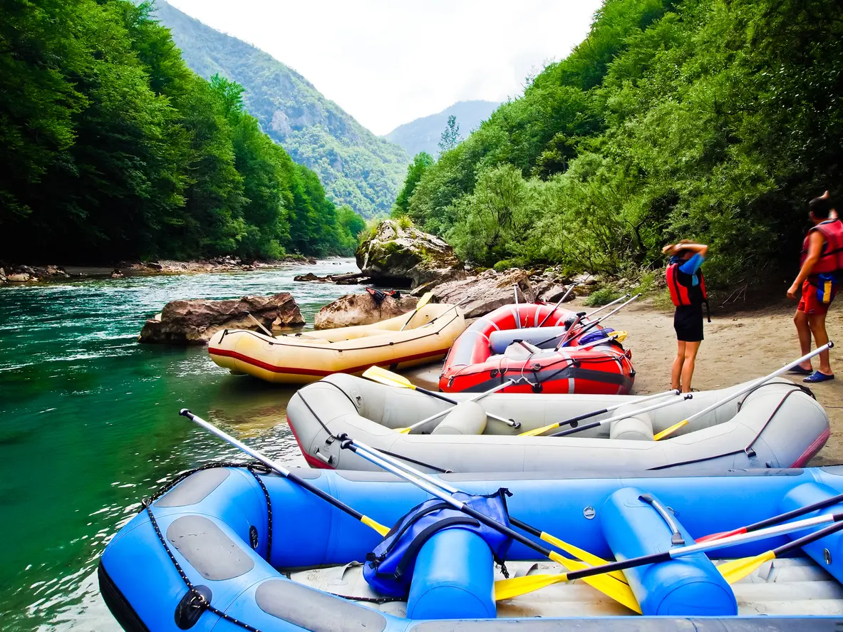 Adventure
The most famous tour is a one-day descent from Brštanovica to Šćepan Polje, about 18 km, through the narrowest part of the canyon. Multi-day tours start upstream.
Reservation: in July and August in advance.
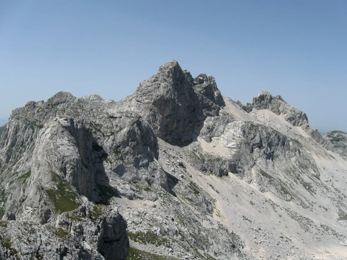 Hiking
The highest peak of Durmitor (2,523 m). From the Sedlo saddle, the ascent and return take about 6 hours, and from Crno Jezero and Žabljak 8–10 hours. The trail is challenging but without technical climbing.
Equipment: hiking footwear and experience on rocky terrain.
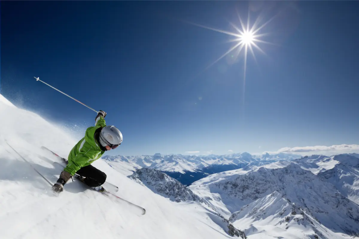 Winter sport
Savin Kuk near Žabljak and the ski centers Kolašin 1450 and Kolašin 1600 on Bjelasica.
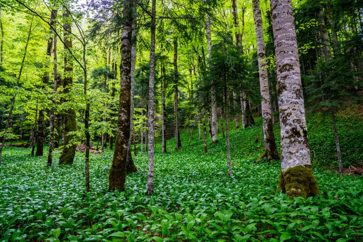 Nature
The circular trail around Biogradsko Lake is about 3.5 km long and easy for all ages. Longer trails lead through the virgin forest to the ridges of Bjelasica.
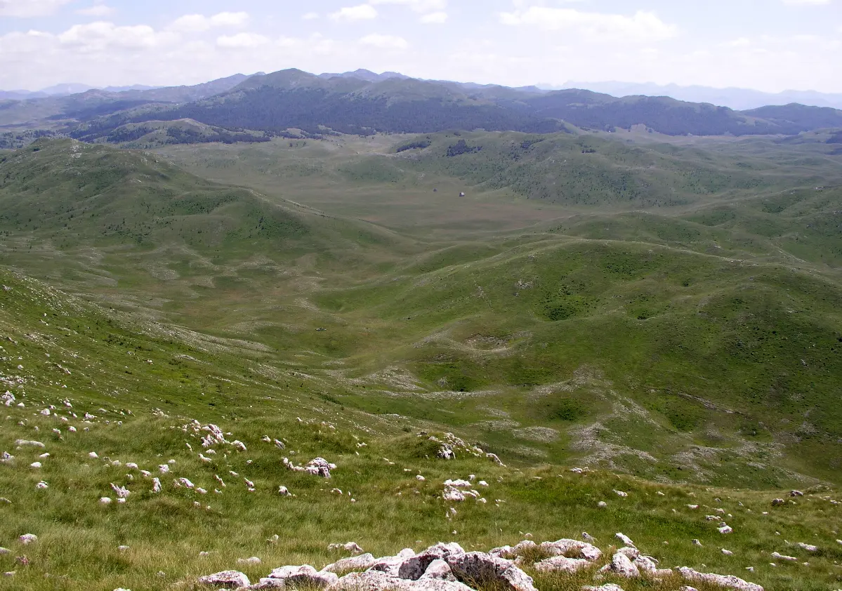 Culture
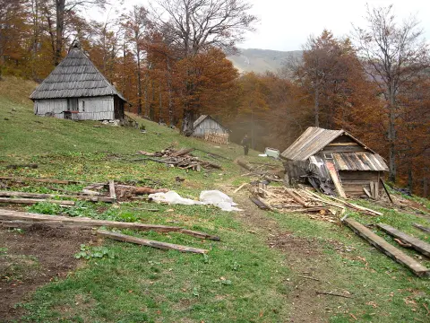
On the vast plateau of Sinjajevina, herders still stay in katuns during the summer. In some katuns you can try local cheese and kajmak or stay overnight.
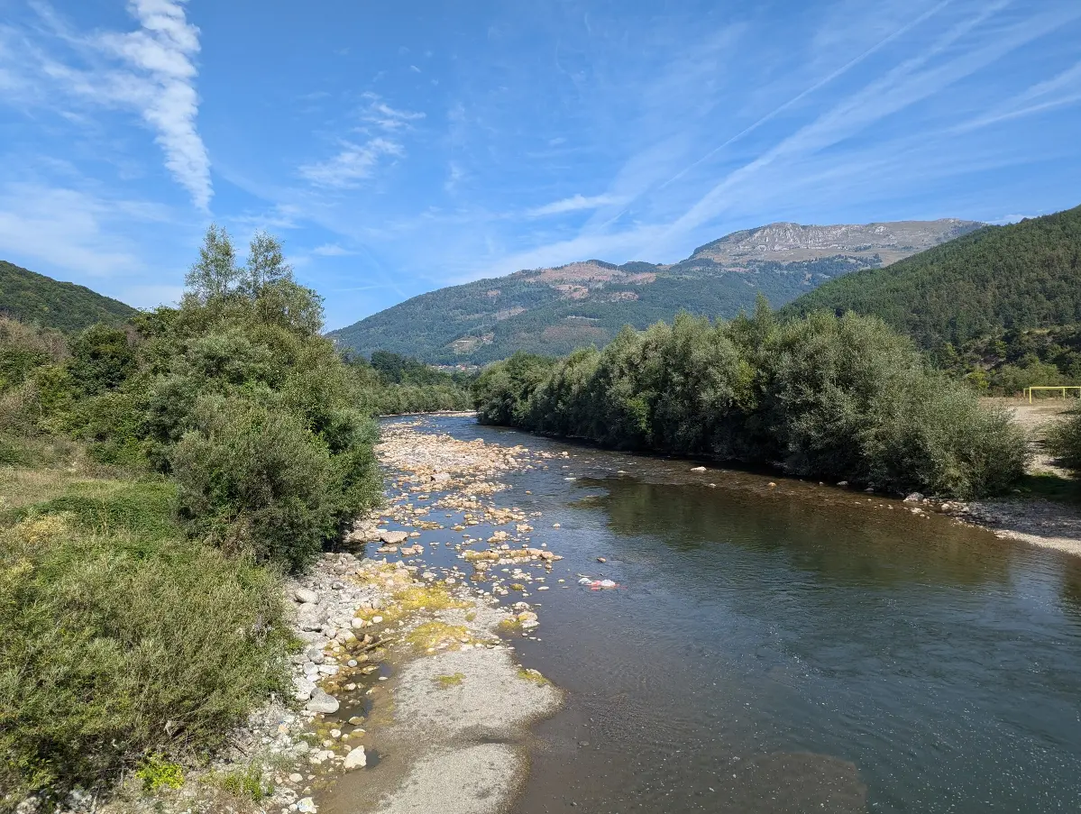 Recreation
Tara, Lim, and their tributaries are known for trout. Permits are issued by local fishing associations, where you can also check the season and rules.

A canyon up to 1,300 m deep, 18 glacial lakes and Bobotov Kuk at 2,523 m
The rocky peaks of Durmitor, the green water of the Tara and lakes among the pines – the north is a place for long days outdoors.
June–September for hiking, rafting and camping, December–March for skiing on Durmitor and in Kolašin. May and October are quieter, but there may be snow on higher trails.
The drive from Podgorica to Žabljak takes about 2.5–3 hours. There are bus lines from Podgorica and Nikšić, and the nearest airport is Podgorica.
Yes, the parks charge entrance fees and some activities. Check current prices on the website of the National Parks of Montenegro (nparkovi.me) or at the park entrance.
Yes – a one-day trip from Brštanovica to Šćepan Polje, about 18 km, requires no experience, and groups are led by licensed skippers. Multi-day trips start upstream, near Žabljak. The season runs from April to October, and the water is highest in May and June.
Žabljak has the largest choice of accommodation for Durmitor, Kolašin for Bjelasica, Biogradska Gora and the ski centres, and Plav and Gusinje for Prokletije, mostly in private accommodation and smaller guesthouses.
Kajmak, Durmitor skorup, Kolašin lisnati and Pljevlja cheese, lamb cooked under the sač and cicvara. Hosts often also offer plum rakija.
 Rural household
Kolašin
from €40 / nightindicative price
Ask the host Katun
Berane
from €40 / nightindicative price
Ask the host Rural household
Mojkovac
from €40 / nightindicative price
Ask the host Katun
Plužine
Price on request
Ask the host Rural household
Zeta
from €40 / nightindicative price
Ask the host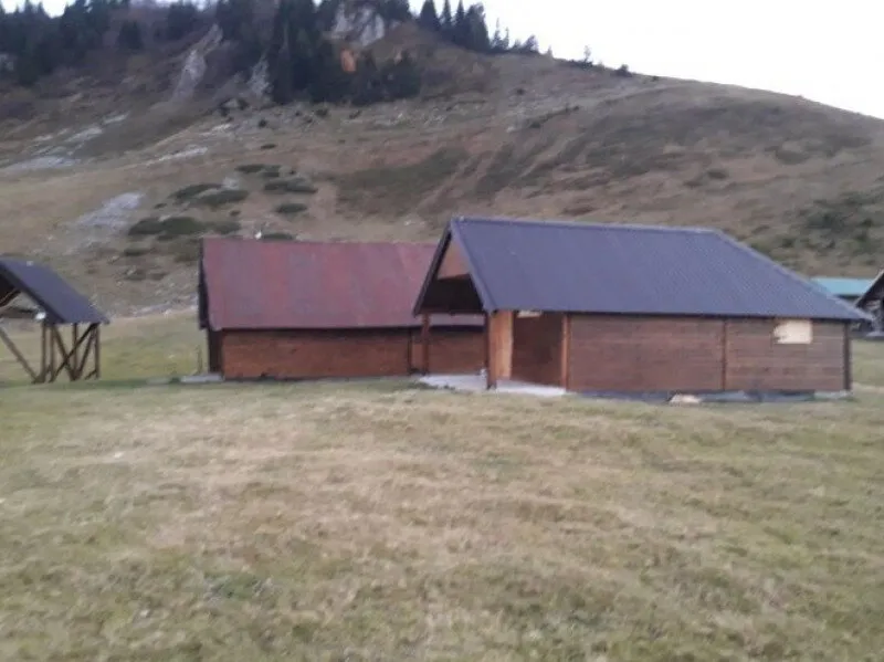 Katun
Berane
Price on request
Ask the hostOffers come live from the Travel to Montenegro booking platform. Requests are confirmed by the host; nothing is charged online.