A short but very demanding trail to Vrsta Peak with 456 m of ascent.
A short hiking tour (2.0 km) to Vrsta Peak. It involves 456 m of ascent and takes about 1 h 45 min of walking, mostly over rocky terrain.
Vrsta is a short but very demanding one-way hiking trail. It starts near Trnovačko Lake and leads to Vrsta Peak.
The trail is 2.0 km long, with a total ascent of 456 m and a descent of only 6 m. The lowest point is at 1831 m a.s.l., and the highest at 2285 m a.s.l. The terrain is predominantly rocky (91%), while a smaller part consists of earthen and forest sections.
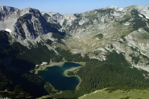
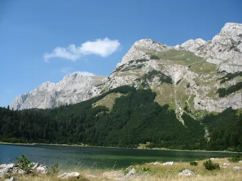
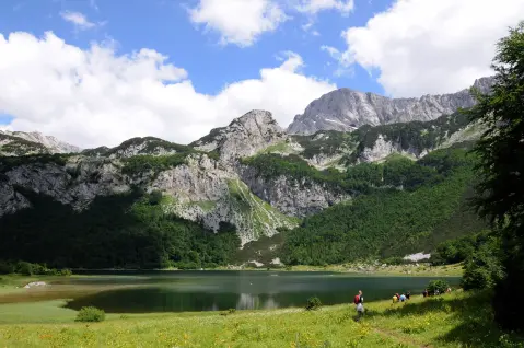
The trail is marked and, according to the SAC hiking scale, has been rated T3. It is intended for experienced hikers – although short, it is steep and technically demanding. Trnovačko Lake and Stabanska Lakes are located near the trail.
What this difficulty means
Very long or alpine terrain where hands may be needed, with few ways out. Only for experienced mountaineers in stable weather.
Mountain hiking grade SAC T3 (scale T1–T6).
Places on this route
Move along the profile to follow the route on the map; switch on 3D for the terrain.
↑ 456 m · ↓ 6 m · highest point 2,285 m
Along the way
Point of interest at 2301 m a.s.l., 2.1 km from the trailhead. The highest part of the route.
The nearest place to the trailhead, about 2.4 km from the start.
Other lakes nearby, about 6.3 km from the trail.
Bring enough water – the trail does not indicate where there are springs.
Wear sturdy hiking boots and use poles because of the steep and rocky terrain.
Start early, especially in summer, to avoid daytime heat and afternoon thunderstorms.
Dress in layers and bring protection from wind and sun.
Check the weather forecast before setting off and turn back if a storm is forecast.
The trail is steep and rocky, so sure-footedness is required. In high mountains, fog and thunderstorms can appear quickly – monitor weather conditions. In an emergency, call 112.
Emergency number in Montenegro: 112.
Good to know
Best season
The best period for the ascent is from late June to late September, when trails are usually free of snow. At altitudes above 2,000 m it can always be cold and windy.
Getting there
The trailhead is located about 2.4 km from Trnovačko Lake.
The trail is 2.0 km long and runs one way.
The estimated duration without breaks is 1 h 45 min.
It is very demanding and intended for experienced hikers, rated T3 on the SAC scale.
The lowest point is at 1831 m above sea level, and the highest at 2285 m above sea level. Total ascent is 456 m.
2.3 km↑ 69 m50–70 min
23.1 km↑ 1,562 m2–3 days
1.3 km↑ 69 m20–30 min
2.2 km45–65 min
1.7 km↑ 225 m50–70 min
0.7 km10–10 min
4.0 km↑ 628 m2½–3 h
1.2 km↑ 318 m65–90 min
Times and grades are estimates. Conditions change: check the weather and local information before you set out.

Ask about Montenegro
Ask me about destinations, restaurants or activities.
