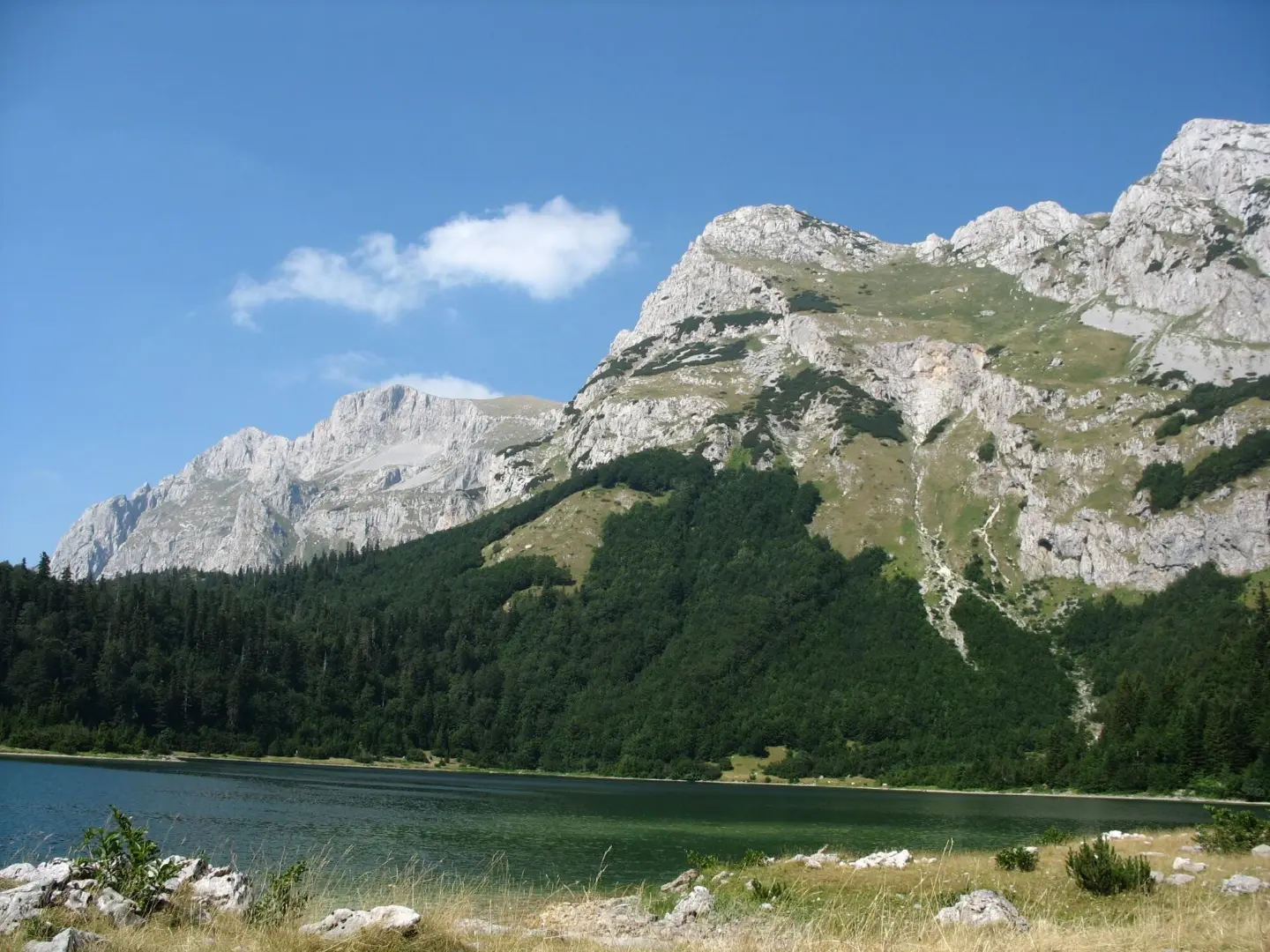
A short and easy marked trail from Trnovačko jezero to Maglić.
An easy hiking trail, 0.7 km long, connecting Trnovačko jezero and Maglić. No ascent, with only 12 m of descent, covered in about 10 minutes, and marked.
A short hiking link from Trnovačko jezero to Maglić is 0.7 km long and runs in one direction. The trailhead is about 0.3 km from Trnovačko jezero, and nearby, at 0.1 km, there is a mountain hut or shelter at 1535 m a.s.l.
The terrain is an earthen/forest trail for its entire length. The lowest point is at 1517 m a.s.l. and the highest at 1533 m a.s.l. The trail has no ascent; it records only 12 m of descent, so it can be covered without breaks in about 10 minutes.
According to our scale, the trail is easy and marked. It is suitable for a short walk, families, and beginner hikers. Nearby, about 5.6 km from the trail, are Stabanska jezera.
As this is a one-way trail, plan your return in advance. Due to the altitude between 1517 and 1533 m, be prepared for mountain conditions.
What this difficulty means
Well-made paths with gentle gradients. Fine for families and anyone used to walking a few hours.
Places on this route
Move along the profile to follow the route on the map; switch on 3D for the terrain.
↑ 0 m · ↓ 12 m · highest point 1,533 m
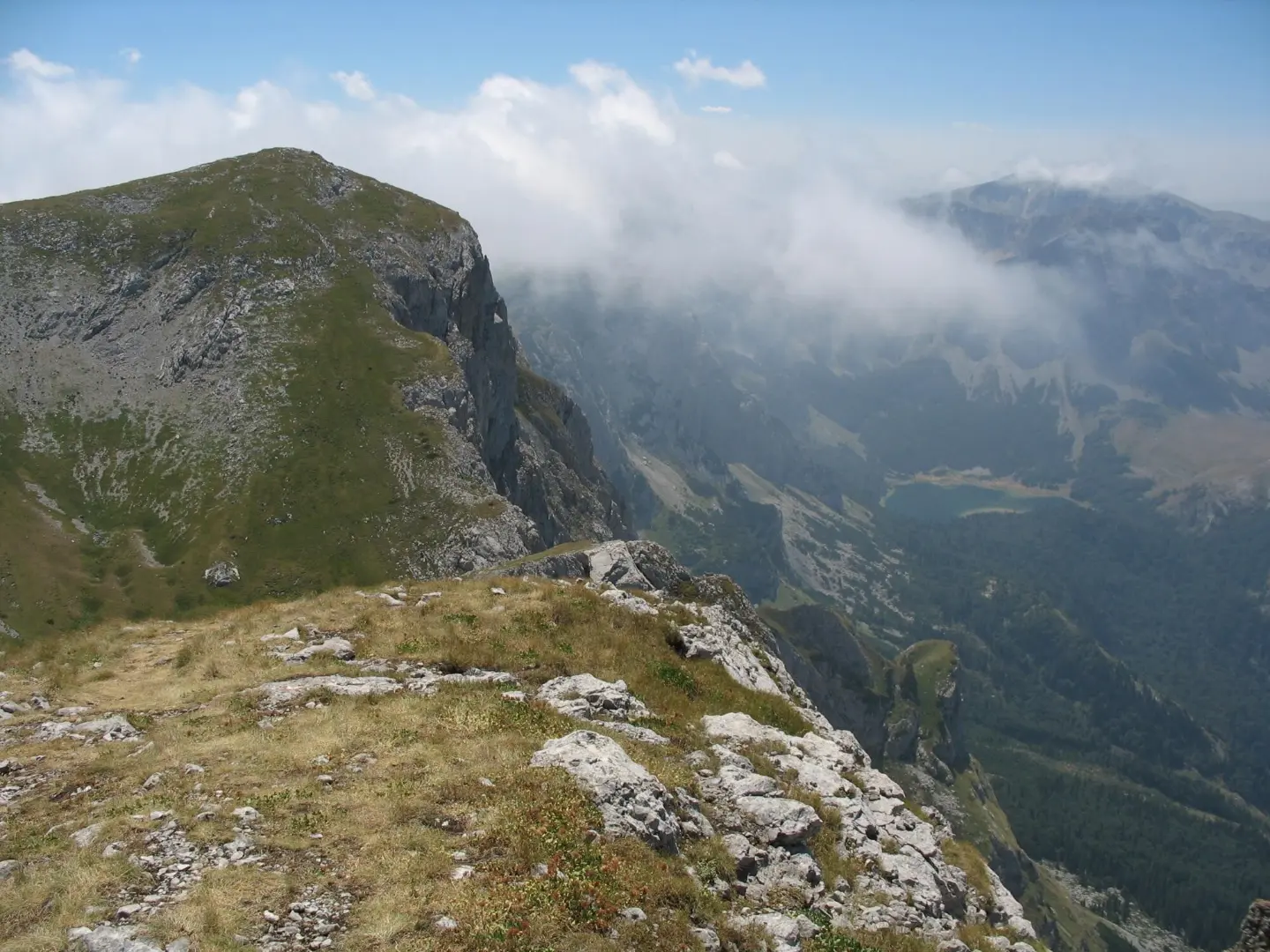
The end point of the short one-way trail.
The starting point near the trail, about 0.3 km from the trailhead.
At 0.1 km from the trailhead, at 1535 m a.s.l.
Nearby, about 5.6 km from the trail.
An earthen/forest trail with no ascent and only 12 m of descent.
Wear footwear suitable for an earthen/forest trail.
Even though the trail is short, bring enough water.
Check the weather forecast before setting out.
As the trail is one-way, plan your return in advance.
Follow the trail markings throughout.
In the mountains, sudden weather changes, fog, and thunderstorms are possible. Adjust your plan to the conditions and do not set out in a thunderstorm. In case of an emergency, call 112.
Emergency number in Montenegro: 112.
Good to know
Best season
Due to the altitude of 1517 to 1533 m, the summer months and early autumn are the most reliable. It can be warm in summer, so start earlier in the day.
Getting there
The trailhead is about 0.3 km from Trnovačko jezero.
The trail is 0.7 km long.
It can be covered without breaks in about 10 minutes.
According to our scale it is easy, with no ascent and only 12 m of descent.
Yes, the trail is marked.
Hiking · Trnovačko Lake
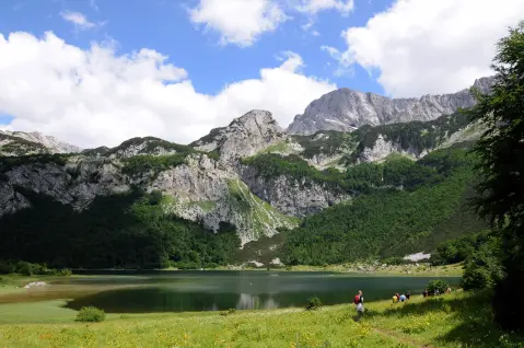
Hiking · Trnovačko Lake
Hiking · Trnovačko Lake
Hiking · Trnovačko Lake
Hiking · Trnovačko Lake
Hiking · Trnovačko Lake
Hiking · Trnovačko Lake
Hiking · Trnovačko Lake
Times and grades are estimates. Conditions change: check the weather and local information before you set out. Map and data sources →

