Steep hiking trail with an impressive descent through rocky high-mountain terrain.
The Studenac trail is 2.3 km long and runs in one direction, with a total descent of 598 m. It is intended for experienced hikers who are confident on rocky terrain at elevations above 1600 m.
The Studenac trail stretches for 2.3 km and overcomes a pronounced descent of 598 m, while the ascent is only 14 m. It passes through a high-mountain area between elevations of 1619 m and 2211 m, making it one of the technically more demanding short trails in this part of Montenegro.
Approximately 75% of the route is rocky terrain, and the remaining 25% is dirt and forest trail. The descending character of the route requires sure-footedness, stable ankles, and appropriate footwear. The estimated walking time without breaks is 1 h 30 min.
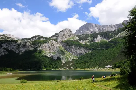
Near the trail are Trnovačko Lake (~2.7 km from the start) and Stabanska Lakes (~5.8 km), which complete the experience of this mountain area. The trail is marked with red-and-white markings.
The trail is intended exclusively for experienced hikers (SAC scale T3). It is not suitable for children or beginners, and special caution is necessary on wet rocks.
What this difficulty means
Very long or alpine terrain where hands may be needed, with few ways out. Only for experienced mountaineers in stable weather.
Mountain hiking grade SAC T3 (scale T1–T6).
Places on this route
Move along the profile to follow the route on the map; switch on 3D for the terrain.
↑ 14 m · ↓ 598 m · highest point 2,211 m
The trail descends almost 600 m of elevation over just 2.3 km, providing dynamic and technically demanding terrain for experienced hikers.
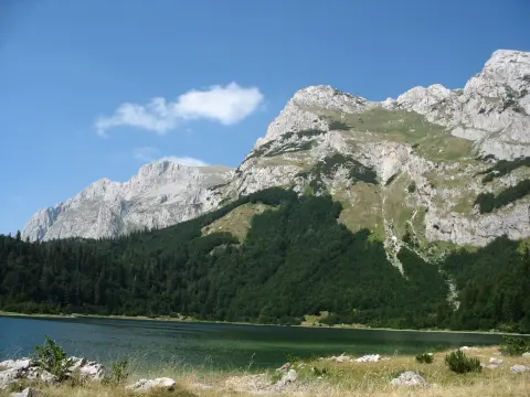
Rocky ground makes up three quarters of the trail at elevations between 1619 m and 2211 m a.s.l., typical of a rugged mountain environment.
Not far from the trailhead (~2.7 km) lies Trnovačko Lake, a popular destination that can be included in trip planning.
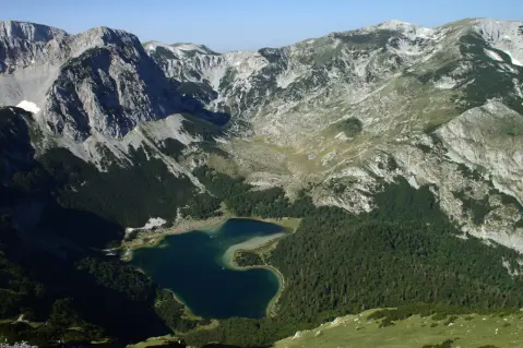
About 5.8 km from the trail are the Stabanska Lakes, which complete the offerings of this high-mountain area.
Wear sturdy hiking boots with good ankle support — rocky terrain is dominant and can be slippery when wet.
Bring enough water for the entire outing; there are no confirmed water sources along the route.
Start early in the morning to avoid afternoon thunderstorms common in the mountains.
The trail is one-way — arrange transport in advance or arrange pickup at the end point.
Follow the markings (red-and-white signs) and do not leave the marked route on rocky sections.
Bring a windbreaker and a warm layer of clothing — at elevations above 2000 m the temperature can drop suddenly.
The terrain is high above 1600 m a.s.l. and subject to sudden weather changes — fog, wind, and thunderstorms can arise without warning. Wet rocks significantly increase the risk of falling, so special caution is necessary on the descent. In an emergency, call the emergency number: **112**.
Emergency number in Montenegro: 112.
Good to know
Best season
The trail is safest and most accessible from late June to September, when the high-mountain terrain is mostly free of snow. Outside this period, snow and ice surfaces are possible, which make the rocky descent additionally difficult and dangerous.
Getting there
The start of the trail is located near Trnovačko Lake, about 2.7 km away. As the trail is one-way, plan your arrival and departure from different points in advance.
The trail is 2.3 km long and runs in one direction, with start and end at different points.
The estimated walking time without breaks is 1 h 30 min. With breaks and photography, allow for longer.
The trail is rated as very challenging and is intended for experienced hikers (SAC scale T3). Rocky terrain and a descent of 598 m dominate.
Yes, the trail is marked with red-and-white markings along the entire route.
4.0 km↑ 628 m2½–3 h
0.9 km35–50 min
0.7 km10–10 min
23.1 km↑ 1,562 m2–3 days
1.0 km↑ 98 m25–35 min
2.2 km45–65 min
1.7 km↑ 225 m50–70 min
3.4 km↑ 232 m70–95 min
Times and grades are estimates. Conditions change: check the weather and local information before you set out.

Ask about Montenegro
Ask me about destinations, restaurants or activities.
