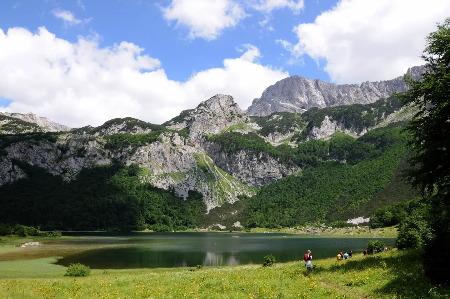
Demanding one-way hiking trail: 4.0 km, 628 m of ascent, from Trnovačko jezero to Bojanska vrata.
The hiking trail from Trnovačko jezero to the pass Bojanska vrata is 4.0 km long, with a total ascent of 628 m. The estimated walking time without breaks is 2 h 40 min, and the difficulty is demanding.
The trail starts near Trnovačko jezero, about 0.3 km from the lake. At the very beginning, at 0.0 km, there is a mountain hut or shelter at 1535 m a.s.l. The route is one-way and leads to the pass Bojanska vrata at 2133 m a.s.l., at the end of the trail after 4.0 km.
The trail length is 4.0 km, with a total ascent of 628 m and a descent of only 29 m. The lowest point is at 1523 m a.s.l., and the highest at 2134 m a.s.l. The surface is almost entirely earth or forest path (98%). The trail is marked with red circular markers with a white dot.
Due to the constant ascent and elevation difference, the trail is rated as demanding (SAC T2). The estimated walking time without breaks is 2 h 40 min. The highest section is in the area of the pass Bojanska vrata. Near the trail, about 4.0 km from the route, are also the Stabanska jezera.
What this difficulty means
Steep, rocky or exposed passages and a long day out. For fit, sure-footed hikers with mountain experience.
Mountain hiking grade SAC T2 (scale T1–T6).
Places on this route
Move along the profile to follow the route on the map; switch on 3D for the terrain.
↑ 628 m · ↓ 29 m · highest point 2,134 m
Along the way
The nearest place to the trailhead, about 0.3 km away.
Located at the very beginning of the trail, at 1535 m a.s.l.
The end point of the trail at 4.0 km, at 2133 m a.s.l.
Near the trail, about 4.0 km from the route.
Bring enough water for the entire hike.
Wear hiking boots and layered clothing; at around 2134 m a.s.l. it can be colder and windy.
Set off early in the morning and check the weather forecast before departing.
The trail is one-way, so plan your return or transportation from the end point in advance.
In the event of fog, thunder or strong wind, do not continue the ascent and seek a safe place.
At an altitude of up to 2134 m a.s.l., the weather can change quickly. Monitor the forecast and, in the event of thunderstorms, descend from exposed sections of the trail. For emergencies in Montenegro, call 112.
Emergency number in Montenegro: 112.
Good to know
Best season
The most favourable period for a visit is from late spring to early autumn, when the trails are usually passable. At altitudes above 2000 m a.s.l., snow may persist well into spring.
Getting there
The trailhead is reached from the direction of Trnovačko jezero; the starting point is about 0.3 km from the lake.
The trail is 4.0 km long.
The estimated walking time without breaks is 2 h 40 min.
The trail is demanding; according to the SAC hiking scale it has the rating T2.
Yes, the trail is marked with red circular signs with a white dot.
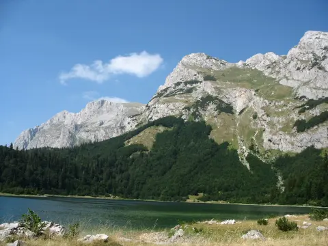
Hiking · Trnovačko Lake
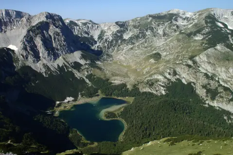
Hiking · Trnovačko Lake
Hiking · Trnovačko Lake
Hiking · Trnovačko Lake
Hiking · Trnovačko Lake
Hiking · Trnovačko Lake
Hiking · Trnovačko Lake
Hiking · Trnovačko Lake
Times and grades are estimates. Conditions change: check the weather and local information before you set out. Map and data sources →

