A demanding hiking tour across Durmitor with an ascent of Planinica and a visit to Sušičko Jezero.
A marked hiking tour in Durmitor National Park: 42,4 km, ascent 1630 m, descent 1747 m. It starts near Crno Jezero, passes by Sušičko Jezero, Planinica Peak and Skakala Waterfall; recommended for experienced hikers.
The Durmitor Mountain hiking tour begins near Crno Jezero, about 0,4 km from the starting point. It is 42,4 km long, with a total ascent of 1630 m and a total descent of 1747 m. Estimated duration without breaks is 15 h 5 min; the highest point is at 2326 m a.s.l., and the lowest at 1164 m a.s.l. Therefore, a multi-day tour is recommended.
The trail is marked with a red circle with a white dot. It passes by Sušičko Jezero (0,1 km from the trail), leads to Planinica Peak (2330 m a.s.l.), then past Skakala Waterfall (1575 m a.s.l.), Sušica Mountain Hut (1172 m a.s.l.) and the Planinarski Dom Škrka shelter (1720 m a.s.l.). It continues towards the Nedajno (Ivovac) viewpoint at 1500 m a.s.l. and through Durmitor National Park.
The terrain consists of asphalt/concrete (55 %), dirt/forest trail (40 %) and gravel (5 %). Although the trail is technically easy (SAC T1), due to its length and elevation difference it is rated as very demanding and is intended for experienced hikers.
What this difficulty means
Very long or alpine terrain where hands may be needed, with few ways out. Only for experienced mountaineers in stable weather.
Mountain hiking grade SAC T1 (scale T1–T6).
Move along the profile to follow the route on the map; switch on 3D for the terrain.
↑ 1,630 m · ↓ 1,747 m · highest point 2,326 m
Along the way
Photos and short clips from points along the route — tap one to open it.
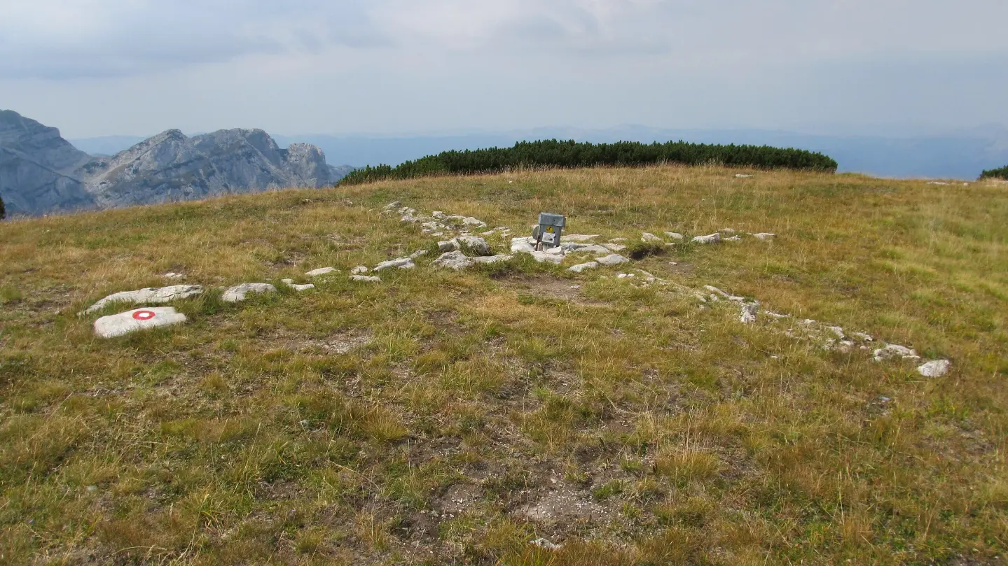
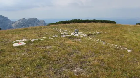
Ascent to Planinica Peak at 2330 m a.s.l.; the highest point of the trail is 2326 m a.s.l.
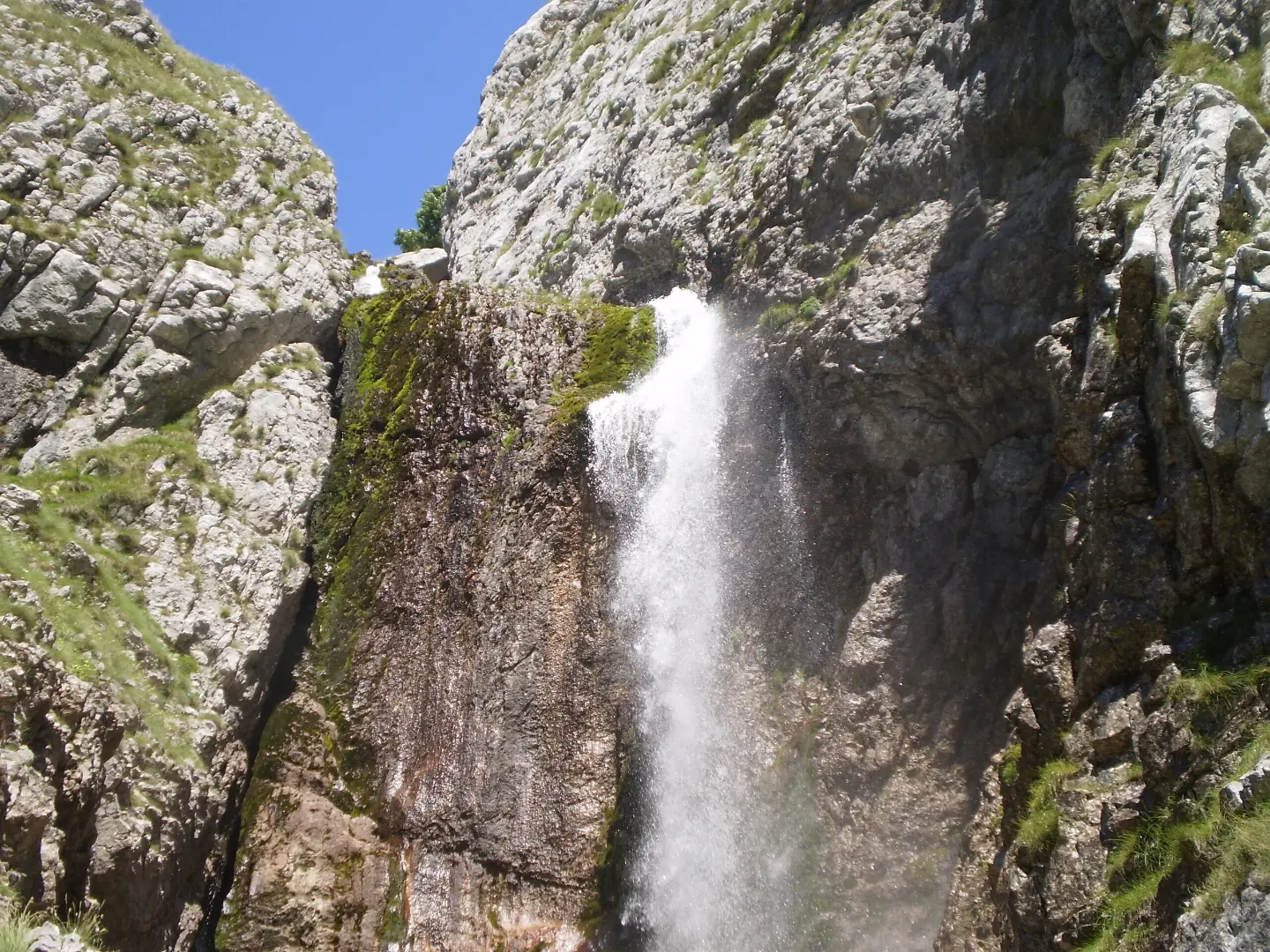
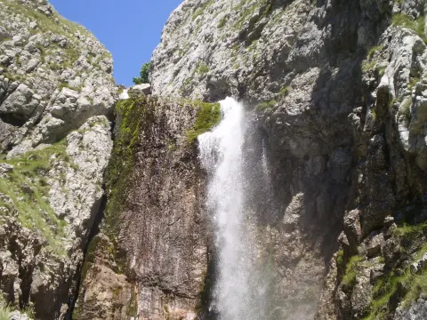
Skakala Waterfall at 1575 m a.s.l., near the trail at 12,6 km from the start.
The trailhead is located near Crno Jezero, about 0,4 km from the starting point.
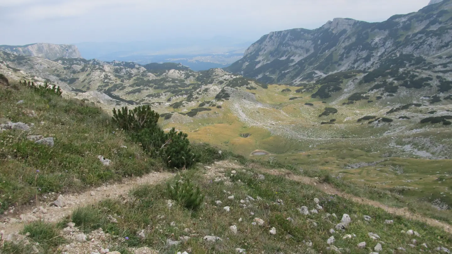
The trail passes just 0,1 km from Sušičko Jezero in Durmitor National Park.
Nedajno (Ivovac) viewpoint at 1500 m a.s.l., 23,0 km from the start of the trail.
Bring enough water and replenish supplies at marked springs and fountains along the trail.
Due to the length of 42,4 km, plan a multi-day tour and check the availability of accommodation in mountain huts and shelters in advance.
Wear layered clothing, sturdy hiking footwear and rain protection; in the high-mountain area the weather changes quickly.
Before setting off, check the weather forecast and avoid sections during thunderstorms.
Bring a paper map and a full battery; mobile signal can be weak in remote areas.
Respect the rules of Durmitor National Park and take your rubbish with you.
The trail passes through the high-mountain areas of Durmitor; fog and thunderstorms can occur quickly. Follow the trail markings and do not set off alone if you lack experience. In an emergency, call 112.
Emergency number in Montenegro: 112.
Good to know
Best season
The most favourable period for the tour is from June to September, when there is less snow on the trails. Higher sections above 1500 m a.s.l. can be difficult to pass in spring and after heavy rainfall.
Getting there
The trailhead is located near Crno Jezero. The nearest town is Žabljak, about 2,3 km from the trail.
The length of the trail is 42,4 km.
Estimated duration without breaks is 15 h 5 min. Therefore, a multi-day tour is recommended.
The trail is very demanding and intended for experienced hikers. According to the SAC scale, it is T1, which means it is technically easy but physically very demanding.
Yes, the trail is marked with a red circle with a white dot.
9.6 km↑ 933 m4½–6½ h
78.8 km↑ 2,501 m3–5 days

143 km↑ 5,436 m6–9 days
3.4 km↑ 91 m55–80 min
Loop
5.4 km↑ 76 m1½–2 h
4.4 km20–30 min
11.7 km↑ 1,090 m5½–8 h
8.9 km↑ 1,244 m5½–7½ h
Times and grades are estimates. Conditions change: check the weather and local information before you set out.

Ask about Montenegro
Ask me about destinations, restaurants or activities.