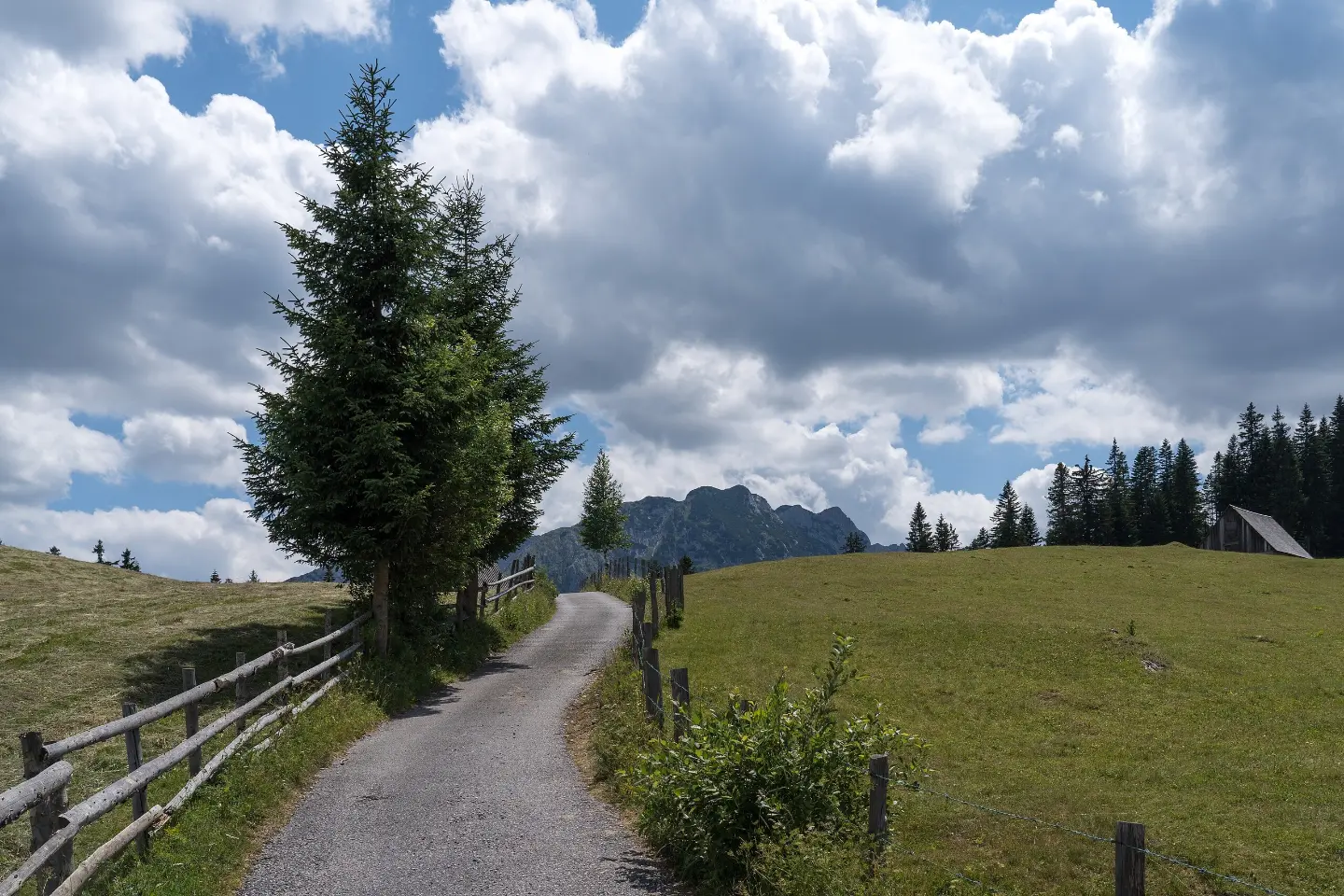
A short and easy enduro trail in Durmitor National Park with 337 m of descent and views.
An easy one-way MTB trail in Durmitor National Park. It is 4.4 km long with 337 m of descent, and the ride takes about 25 minutes without breaks.
The trail starts right next to the parking area (about 0.1 km from the start) and runs one-way through Durmitor National Park. Immediately at the start, at 0.2 km, there is a viewpoint at 1774 m above sea level.
It is 4.4 km long. Total ascent is only 5 m, and total descent is 337 m, so most of the ride takes place downhill. The lowest point is at 1435 m above sea level, and the highest at 1778 m above sea level. The surface consists of dirt/forest trail (61%), asphalt/concrete (27%), and gravel (12%).
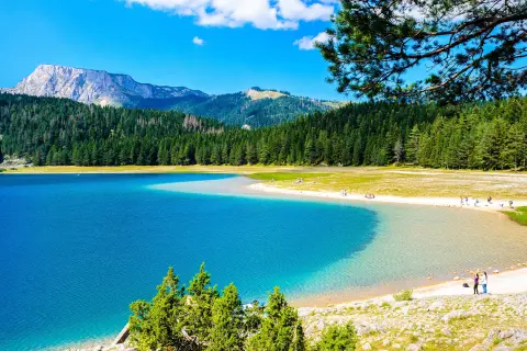
At 3.9 km from the start, the trail passes a spring (1469 m above sea level) and a waterfall (1462 m above sea level). Nearby are Black Lake (about 3.3 km from the start), Žabljak (about 2.6 km from the trail), Sušičko Lake (about 6.4 km), and Fish Lake (about 8.1 km).
The trail is rated easy (MTB scale 0) and short, making it suitable for beginners and relaxed riding. Estimated riding time without breaks is 25 minutes.
What this difficulty means
Mostly flat or gentle riding on good surfaces. Fine for occasional riders and families.
Move along the profile to follow the route on the map; switch on 3D for the terrain.
↑ 5 m · ↓ 337 m · highest point 1,778 m
Located 0.2 km from the start, at 1774 m above sea level.
At 3.9 km from the start, at 1469 m above sea level.
At 3.9 km from the start, at 1462 m above sea level.
Located just 0.1 km from the trail start.
The trail is located within the boundaries of Durmitor National Park.
The trail is one-way, so arrange transport or a return in advance.
Park in the parking area 0.1 km from the start.
Wear a helmet and check the brakes before the descent.
Bring enough water and a snack.
Check the weather forecast; at altitudes above 1400 m the weather changes quickly.
Respect the rules of Durmitor National Park.
At an altitude of 1435 m to 1778 m, the weather changes quickly; fog and thunderstorms can occur suddenly. Wear a helmet, check the weather forecast, and keep your phone charged. In emergencies, call 112.
Emergency number in Montenegro: 112.
Good to know
Best season
Due to the altitude, the best riding period is usually from late spring to early autumn, when the trails are dry and free of snow. In winter and early spring there may be snow and ice.
Getting there
The start of the trail is reached via the parking area, which is 0.1 km from the start. The closest place to the start of the trail is Black Lake (about 3.3 km), and Žabljak is about 2.6 km from the trail.
The trail is 4.4 km long and runs one-way.
Estimated duration without breaks is 25 minutes.
The trail is easy, MTB scale 0. Total ascent is 5 m, and descent is 337 m.
The trail is in Durmitor National Park, near Žabljak and Black Lake.
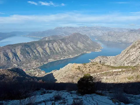
Cycling · Španjola Fortress · Durmitor National Park
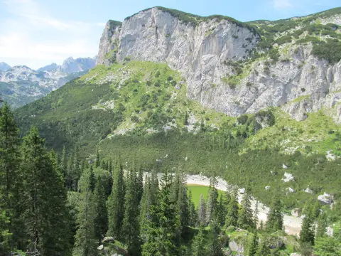
Hiking · Crno Jezero · Durmitor National Park
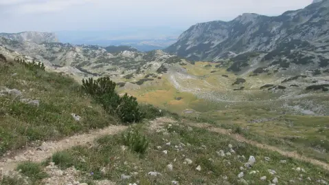
Hiking · Crno Jezero · Durmitor National Park
Hiking · Crno Jezero · Durmitor National Park
Hiking · Crno Jezero · Durmitor National Park
Hiking · Crno Jezero · Durmitor National Park
Hiking · Crno Jezero · Durmitor National Park
Walking · Crno Jezero · Durmitor National Park
Times and grades are estimates. Conditions change: check the weather and local information before you set out. Map and data sources →

