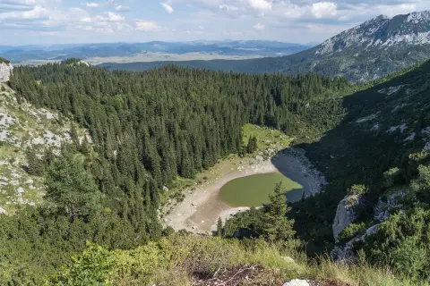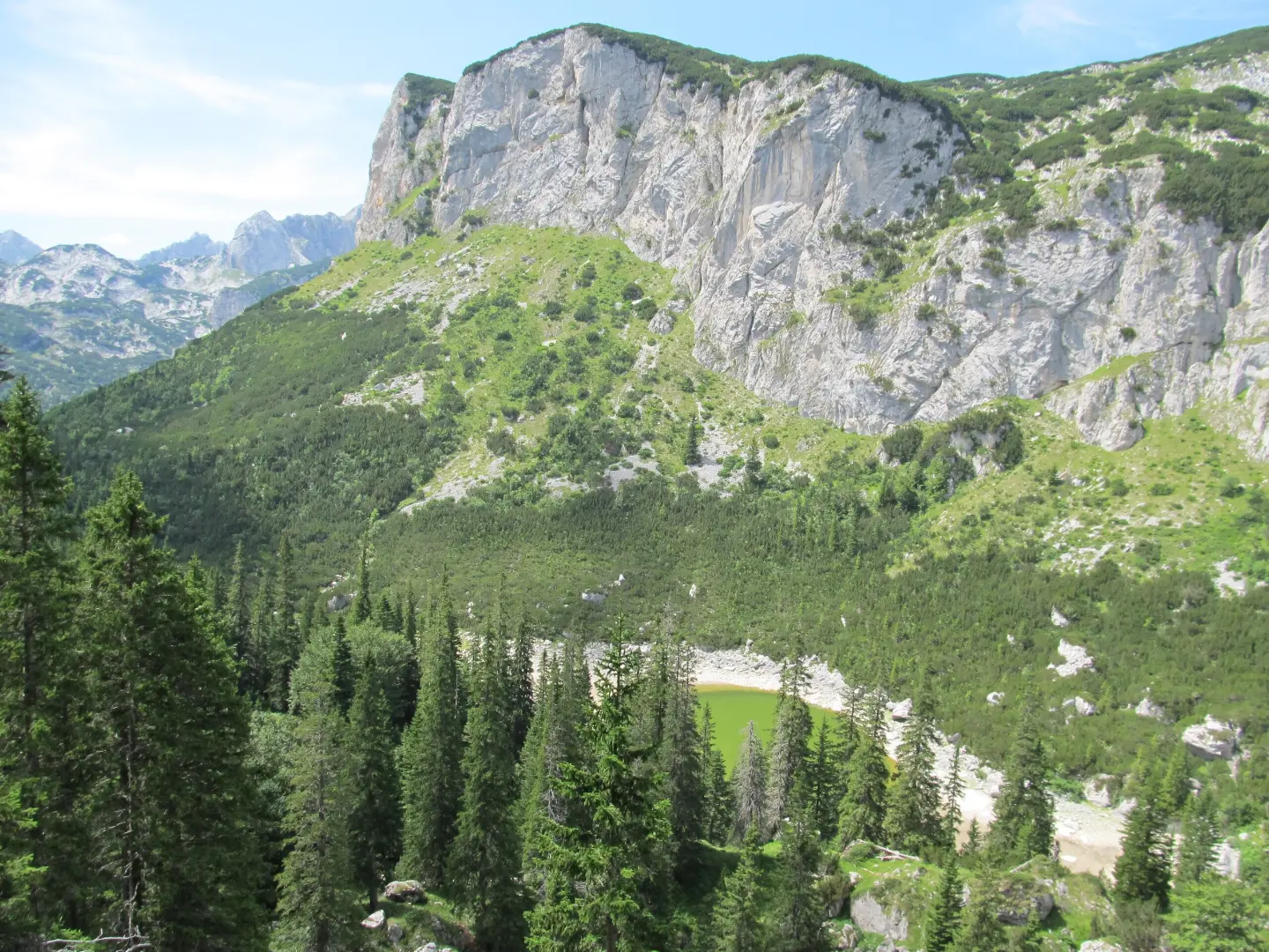
One-way hiking tour through Durmitor National Park to the summit of Crvena Greda.
The hiking tour from Bosača to Crvena Greda is 5.1 km long with 697 m of ascent and takes around 3 h 10 min. It leads through Durmitor National Park, past a spring, the summit of Ražana glava and several viewpoints.
The trail begins at the parking area at Bosača, at around 1520 m a.s.l. Already at 0.5 km it passes a spring (1541 m a.s.l.), and then climbs along a mostly dirt and forest trail to the summit of Ražana glava (1862 m a.s.l.) at 2.0 km.
The continuation leads over several viewpoints: at 3.0 km (1878 m a.s.l.), 3.1 km (1895 m a.s.l.), 3.5 km (1925 m a.s.l.), 4.5 km (2080 m a.s.l.) and 4.8 km (2069 m a.s.l.). From these points there are views of Durmitor National Park.
The trail ends at the summit of Crvena Greda (2164 m a.s.l.). The length is 5.1 km, total ascent 697 m and descent 89 m. The estimated walking time without breaks is 3 h 10 min.
The route is one-way, of moderate difficulty and technically undemanding (SAC T1). Dirt/forest trail makes up 92% of the route, and asphalt/concrete 5%. It is suitable for hikers with basic fitness.
What this difficulty means
Longer or steeper sections and uneven ground. You need basic fitness, sturdy shoes and a little mountain experience.
Mountain hiking grade SAC T1 (scale T1–T6).
Move along the profile to follow the route on the map; switch on 3D for the terrain.
↑ 697 m · ↓ 89 m · highest point 2,154 m
Along the way
Photos and short clips from points along the route – tap one to open it.
The destination of the trail at 5.1 km from the start.
Located 2.0 km from the trailhead.
Several viewpoints between 3.0 km and 4.8 km, at elevations of 1878–2080 m a.s.l.
Passed at 0.5 km after leaving the parking area.
Bring enough water; there is a spring on the trail at 0.5 km, but do not rely solely on it.
The trail is one-way, so plan your return or transport in advance.
Check the weather forecast for Durmitor National Park before setting off.
Wear hiking footwear; the terrain is mostly dirt/forest.
Follow the markings – a red circle with a white dot.
Sudden weather changes, fog and thunderstorms are possible. Stay on the marked trail and do not leave it. In case of an accident, call the emergency number 112.
Emergency number in Montenegro: 112.
Good to know
Best season
The best period for this tour is from late spring to early autumn. In winter and early spring conditions the trail may be covered with snow or ice.
Getting there
The start of the trail is at the parking area near Bosača. The nearest place to the start is Crno Jezero (about 1.5 km), and Žabljak is about 2.9 km from the trail.
The trail is 5.1 km long and runs one way.
The estimated time without breaks is 3 h 10 min.
The difficulty is moderate, and the SAC hiking scale is T1.
Yes, it is marked with red circular signs with a white dot.
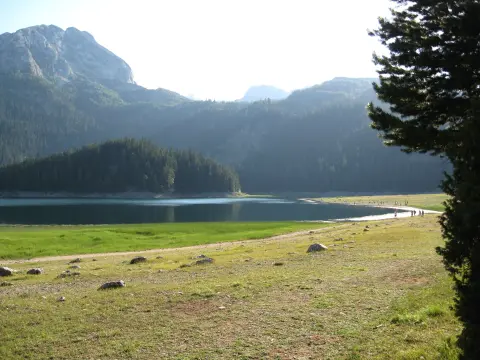
Hiking · Crno Jezero · Durmitor National Park
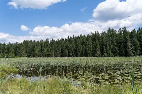
Hiking · Crno Jezero · Durmitor National Park
Mountain biking · Crno Jezero · Durmitor National Park
Hiking · Crno Jezero · Durmitor National Park
Hiking · Crno Jezero · Durmitor National Park
Hiking · Crno Jezero · Durmitor National Park
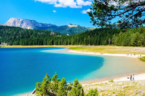
Walking · Crno Jezero · Durmitor National Park
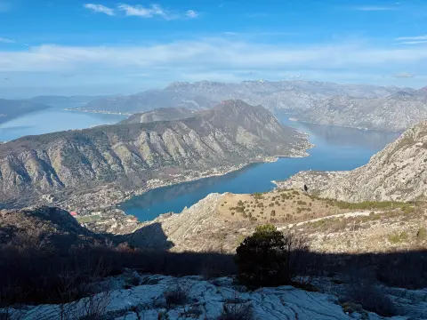
Cycling · Španjola Fortress · Durmitor National Park
Times and grades are estimates. Conditions change: check the weather and local information before you set out. Map and data sources →