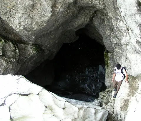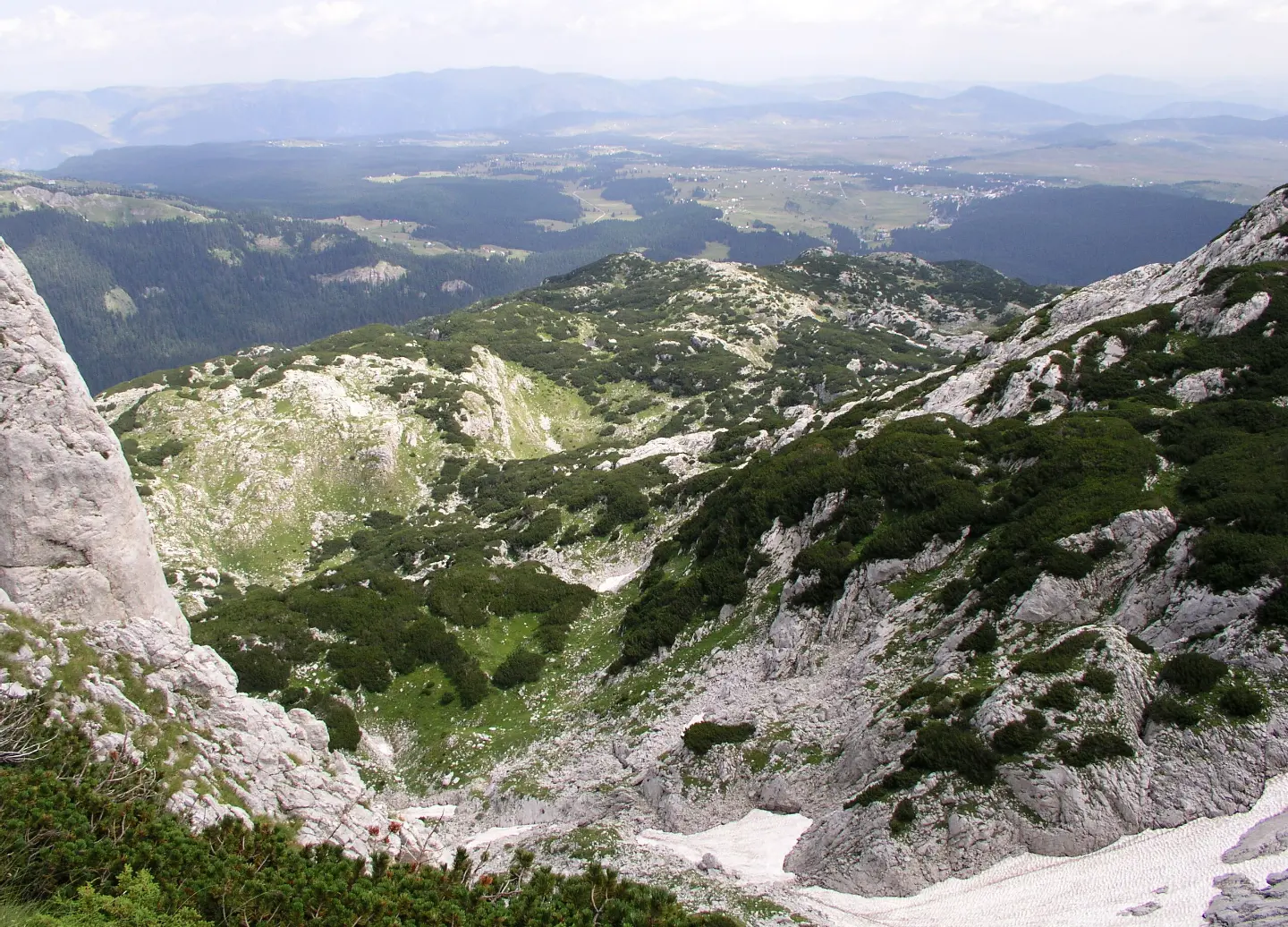
A demanding mountain hike through Durmitor with several viewpoints and an impressive finish at Obla glava.
The 8.9 km long trail leads from Ivan Do to Gornja Ališnica through Durmitor National Park. With a total ascent of 1244 m and a duration of about 6 h 20 min, it is intended for experienced hikers.
The trail starts from Ivan Do at an altitude of 1442 m and ends in Gornja Ališnica at 1849 m above sea level, reaching the highest point at 2308 m. The terrain is predominantly earthen and forested (84%), and a smaller part of the route (16%) runs on macadam. The trail is marked.
Already at 2.0 km you come across the first viewpoint (1720 m above sea level), and then another at 2.7 km (1849 m above sea level). Halfway along the route, at 5.0 km, a new viewpoint opens from an altitude of 2129 m. Closer to the end of the trail, you pass by the peak Obla glava (2303 m above sea level, at 8.7 km) and finish at Ledena pećina (2180 m above sea level, at 8.9 km).
Total ascent is 1244 m, and descent 552 m – the trail is crossed in one direction, so it is necessary to arrange transport at both points. It is recommended for experienced hikers with good physical fitness and appropriate equipment for high-mountain terrain.
The closest place to the start of the trail is Crno Jezero (~0.9 km), and Žabljak is about 2.4 km from the trail.
What this difficulty means
Very long or alpine terrain where hands may be needed, with few ways out. Only for experienced mountaineers in stable weather.
Mountain hiking grade SAC T3 (scale T1–T6).
Move along the profile to follow the route on the map; switch on 3D for the terrain.
↑ 1,244 m · ↓ 552 m · highest point 2,308 m
Along the way
Photos and short clips from points along the route – tap one to open it.
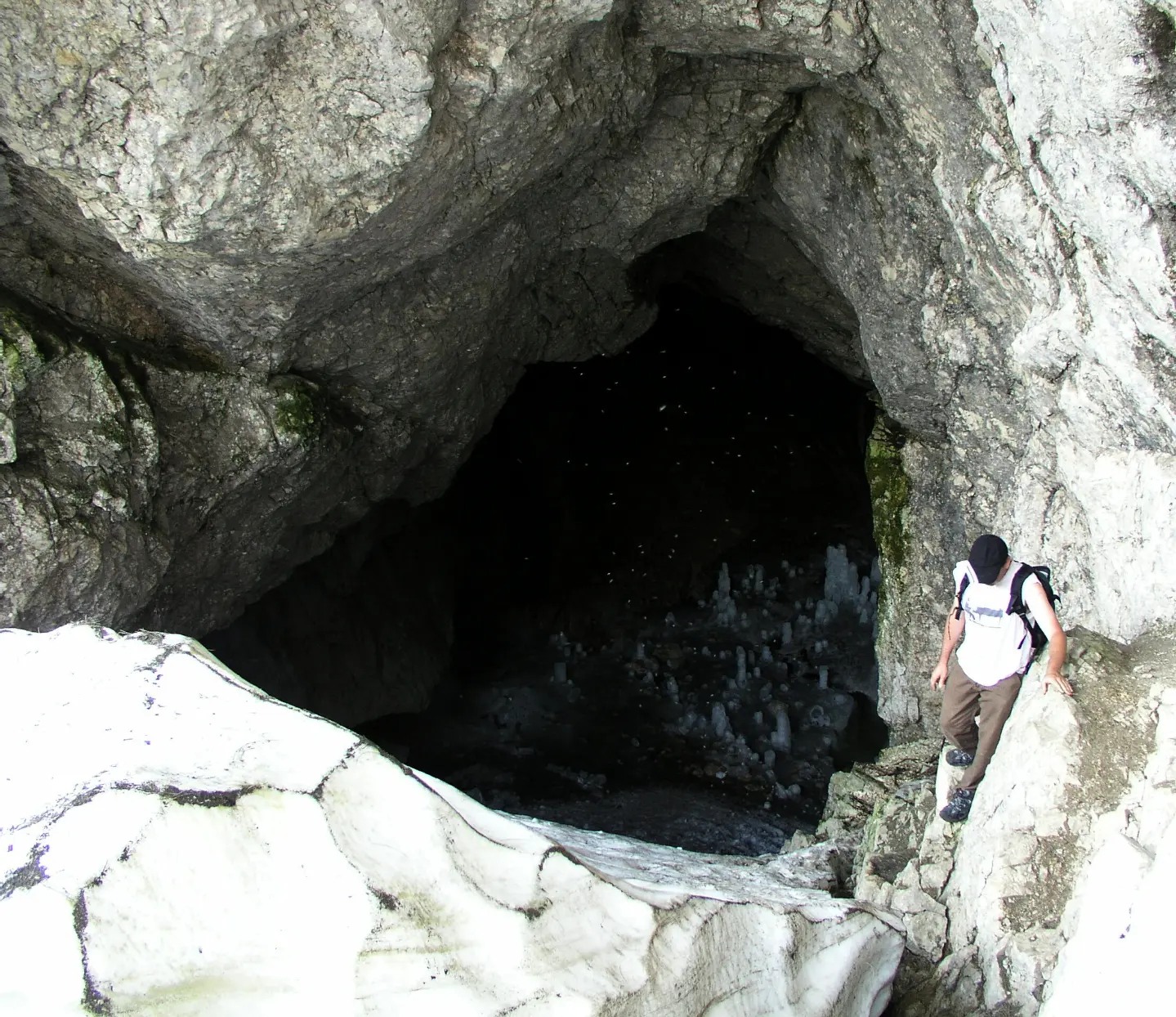
The final point of the trail at 8.9 km – a cave high in the Durmitor massif. From 22 August 2026, entry to the cave is prohibited: NP Durmitor has fenced off the entrance and posted prohibition signs in order to preserve the ice and the delicate microclimate of the cave.
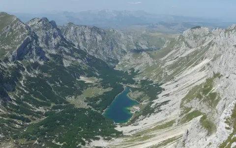
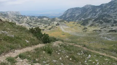
Already at 2.0 km from the start, the first panoramic view of the Durmitor landscape opens up.
At the fifth kilometre of the trail, the altitude panorama becomes increasingly impressive, with views of the surrounding peaks and valleys.
Almost at the very end of the trail (8.7 km), this peak rewards hikers with an exceptional high-mountain ambience.
The entire trail passes through the protected area of Durmitor National Park, known for its diverse ecosystems and mountain landscapes.
Bring enough water and food – the trail is long and demanding, and supplies on the terrain are not guaranteed.
Set off early in the morning to avoid afternoon thunderstorms that are common on high-mountain terrain.
Mountain footwear with good ankle support and a non-slip sole on wet terrain is mandatory.
The trail is crossed in one direction – arrange transport in advance or another person who will wait for you at the end point.
Wear warm clothing and rain protection even in fine weather – weather conditions on Durmitor can change quickly.
Inform a trusted person or the local tourist organization of your excursion plan before departure.
Do not enter Ledena pećina – entry is prohibited by the decision of NP Durmitor. The trail is in the national park, so a daily ticket of €5 per person applies.
At altitudes above 2000 m, weather conditions can change rapidly – strong wind, fog and thunderstorms are possible. Follow the weather forecast and do not continue the tour during thunderstorms. In case of emergency, call 112.
Emergency number in Montenegro: 112.
Good to know
Best season
The trail is most suitable from June to October, when the mountain areas of Durmitor are generally free of snow. Outside this period, high-mountain sections may be snow-covered and inaccessible.
Getting there
The start of the trail is located in Ivan Do, about 0.9 km from Crno Jezero. Žabljak is about 2.4 km from the trail and represents the closest logistical starting point.
The trail is 8.9 km long and is crossed in one direction.
Estimated walking time without breaks is 6 h 20 min. With breaks, you should count on more time.
The trail is rated as very demanding and is intended for experienced hikers. On the SAC scale it corresponds to grade T3. Total ascent is 1244 m.
The trail reaches 2308 m above sea level, so snow is possible outside the summer months. Crossing is recommended from June to October, with checking weather conditions.
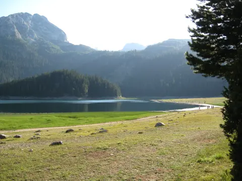
Hiking · Crno Jezero · Durmitor National Park
Hiking · Crno Jezero · Durmitor National Park
Hiking · Crno Jezero · Durmitor National Park
Mountain biking · Crno Jezero · Durmitor National Park
Hiking · Crno Jezero · Durmitor National Park
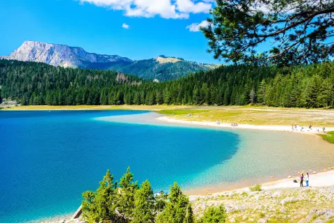
Walking · Crno Jezero · Durmitor National Park
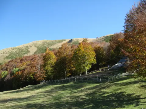
Hiking · Crno Jezero · Durmitor National Park

Hiking · Crno Jezero · Biogradska Gora National Park
Times and grades are estimates. Conditions change: check the weather and local information before you set out. Map and data sources →