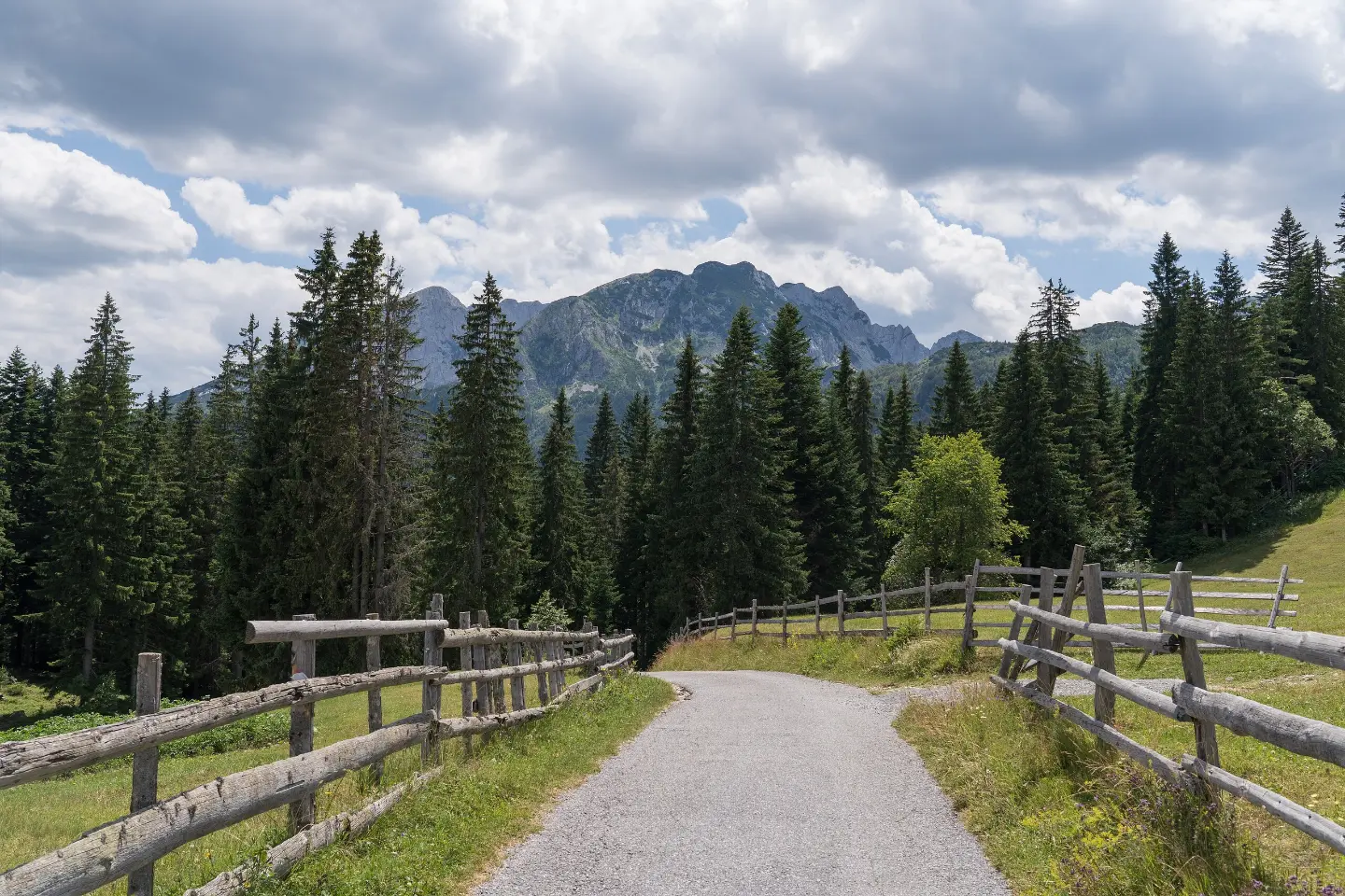
A gentle forest walk in the heart of Durmitor, ideal for a warm-up or a short excursion.
A short marked trail of 0.9 km winds through an earthy forest surface in Durmitor National Park. It is easy, takes about 15 minutes, and is suitable for all ages.
This short hiking tour extends just 0.9 km through the forested area of Durmitor National Park. The trail descends a total of 36 metres – from the highest point at 1,531 m a.s.l. to the lowest at 1,484 m a.s.l. – making the walk pleasant and effortless.
The surface is exclusively an earthy forest path, which provides a comfortable experience even for beginners and families with children. The trail is fully marked, making navigation easy.
The trail is linear in shape – the start and end are not at the same place – so it is useful to arrange your return in advance or combine it with another route. There is a car park at the start of the trail, allowing easy access.
The proximity of Žabljak (~2.4 km) makes this tour suitable as an introduction to a longer expedition through Durmitor. There are also several lakes in the area worth visiting.
What this difficulty means
Well-made paths with gentle gradients. Fine for families and anyone used to walking a few hours.
Move along the profile to follow the route on the map; switch on 3D for the terrain.
↑ 0 m · ↓ 36 m · highest point 1,531 m
The trail begins directly from the car park, meaning easy access with no additional walking to the starting point.
The entire route passes through the protected natural area of Durmitor National Park, on a soft earthy surface.
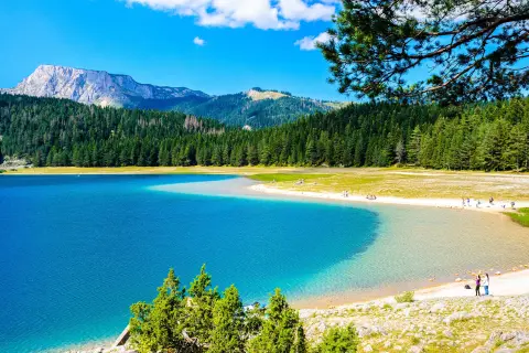
The most famous lake in Durmitor is located approximately 1.5 km from the start of the trail and is worth visiting in combination with this tour.
The town of Žabljak is only about 2.4 km from the trail and offers accommodation, restaurants, and tourist information.
Bring enough water, especially in summer.
Footwear with good grip is recommended even on easy earthy trails.
The trail is linear – arrange transport in advance or plan to return by the same path.
Set off in the morning to avoid afternoon mountain thunderstorms.
In Durmitor NP, nature protection rules apply – do not leave any waste on the trail.
If you plan to combine this trail with a visit to the nearby lakes, allow more time.
Although the trail is short and easy, you are in a mountain national park where weather conditions can change quickly. In case of emergency, call 112.
Emergency number in Montenegro: 112.
Good to know
Best season
The trail is accessible from late spring to autumn. The altitude of around 1,500 m a.s.l. means that summer is the most suitable time, while outside of season the presence of snow and ice is possible.
Getting there
The trail starts from a car park accessible by motor vehicle. The nearest larger settlement is Žabljak, approximately 2.4 km from the trail.
The trail is 0.9 km long.
The estimated duration without breaks is about 15 minutes.
The trail is rated as easy, with a total descent of 36 meters and no ascent.
Yes, the trail is fully marked, which makes navigation easier.
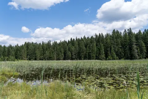
5.4 km↑ 76 m1½–2 h
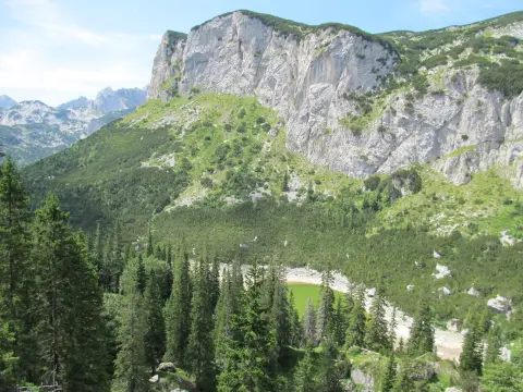
5.1 km↑ 697 m2½–4 h
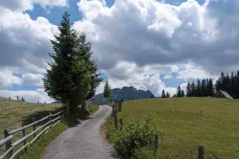
4.4 km20–30 min
42.4 km↑ 1,630 m2–3 days
11.7 km↑ 1,090 m5½–8 h
8.9 km↑ 1,244 m5½–7½ h
3.4 km↑ 91 m55–80 min
Loop
406 km↑ 10,191 m6–8 days
Times and grades are estimates. Conditions change: check the weather and local information before you set out.

Ask about Montenegro
Ask me about destinations, restaurants or activities.
