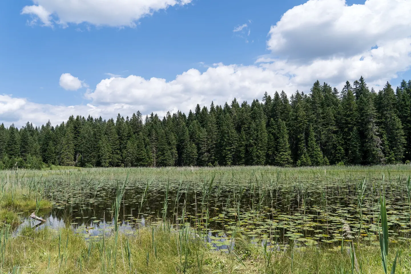
An easy hiking tour through Durmitor National Park: three lakes, springs and a viewpoint.
A one-way hiking trail of 5.4 km with 76 m of total ascent. It connects Barno, Zminje and Crno jezero in Durmitor National Park, passing springs and a viewpoint.
This one-way hiking trail of 5.4 km connects Barno jezero, Zminje jezero and Crno jezero in Durmitor National Park. The estimated walking time without breaks is 1 hour and 35 minutes.
The trail has 76 m of total ascent and 140 m of total descent. The lowest point is at 1,422 m a.s.l., and the highest at 1,547 m a.s.l. The surface is 75% dirt/forest trail and 25% gravel road.
At 0.1 km from the start there is a spring at 1,498 m a.s.l., at 2.2 km a viewpoint at 1,535 m a.s.l., and at 4.3 km another spring at 1,469 m a.s.l.
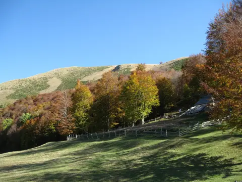
The trail is easy and suitable for beginners and families. It leads through forest and past lakes, with gentle ascents and descents.
What this difficulty means
Well-made paths with gentle gradients. Fine for families and anyone used to walking a few hours.
Move along the profile to follow the route on the map; switch on 3D for the terrain.
↑ 76 m · ↓ 140 m · highest point 1,547 m
The trail connects three lakes in Durmitor National Park.
Located 2.2 km from the start of the trail, it offers views of the surrounding area.
At 0.1 km and 4.3 km from the start there are springs at 1,498 m a.s.l. and 1,469 m a.s.l.
The trail is located in Durmitor National Park.
Bring enough water, even though there are springs along the trail.
Wear hiking footwear and layered clothing.
Set out earlier in the day to avoid the heat.
Check the weather forecast before you leave.
Bring a map or GPS device.
Although the trail is easy, mountain weather on Durmitor can change quickly. Bring layered clothing and monitor the weather forecast. In case of an emergency, call 112.
Emergency number in Montenegro: 112.
Good to know
Best season
The best months for this trail are May, June, July, August, September and October. Conditions are usually most favourable during these months.
Getting there
The start of the trail is about 1.4 km from Crno jezero, and Žabljak is about 2.3 km from the trail.
The trail is 5.4 km long.
The estimated walking time without breaks is 1 hour and 35 minutes.
The trail is easy, with 76 m of total ascent and 140 m of total descent.
The best months are May, June, July, August, September and October.
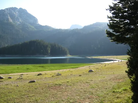
Hiking · Crno Jezero · Durmitor National Park
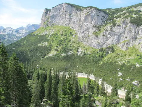
Hiking · Crno Jezero · Durmitor National Park
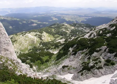
Hiking · Crno Jezero · Durmitor National Park
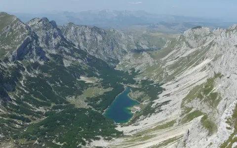
Hiking · Crno Jezero · Durmitor National Park
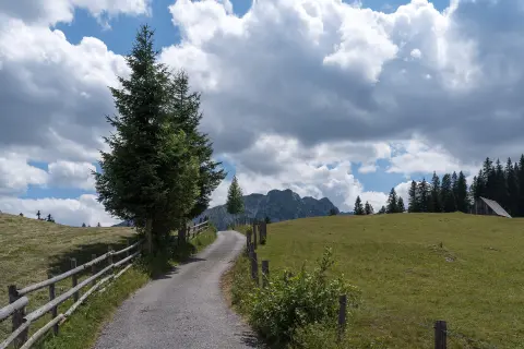
Mountain biking · Crno Jezero · Durmitor National Park
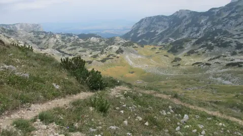
Hiking · Crno Jezero · Durmitor National Park
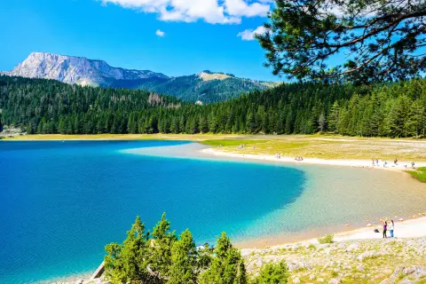
Walking · Crno Jezero · Durmitor National Park
Hiking · Crno Jezero · Durmitor National Park
Times and grades are estimates. Conditions change: check the weather and local information before you set out. Map and data sources →

