A demanding, marked hiking trail through Durmitor National Park, over Bobotov kuk and the Velika Previja pass.
The hiking trail from Žabljak to Šarban via Bobotov kuk is 11.7 km long, with a total ascent of 1090 m and descent of 831 m. It passes through Durmitor National Park and takes approximately 6 h 45 min without breaks.
The trail begins near Žabljak, at the parking lot, and leads in one direction to Šarban. The route is 11.7 km long, with a total ascent of 1090 m and descent of 831 m. The lowest point is at 1425 m a.s.l., and the highest is at 2347 m a.s.l., at the Velika Previja pass.
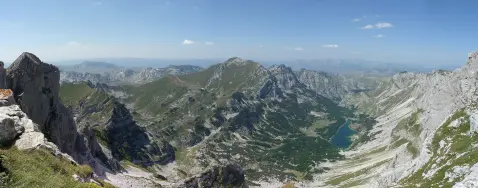
The trail is marked with a red circular sign with a white dot. The surface is mixed: gravel road 60%, dirt/forest trail 30%, and asphalt/concrete 10%. The route goes over Bobotov kuk, and at 7.7 km lies the Velika Previja pass with a viewpoint at 2346 m a.s.l.
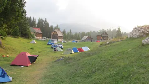
Along the route there are the Božov izvor spring, a water source, a shelter, and the camps Ivan Do, Durmitor Camp, and Torba. The trail is demanding and intended for hikers with good physical fitness; due to the length and ascent, plan for a full day.
What this difficulty means
Steep, rocky or exposed passages and a long day out. For fit, sure-footed hikers with mountain experience.
Mountain hiking grade SAC T3 (scale T1–T6).
Move along the profile to follow the route on the map; switch on 3D for the terrain.
↑ 1,090 m · ↓ 831 m · highest point 2,347 m
Along the way
Photos and short clips from points along the route – tap one to open it.
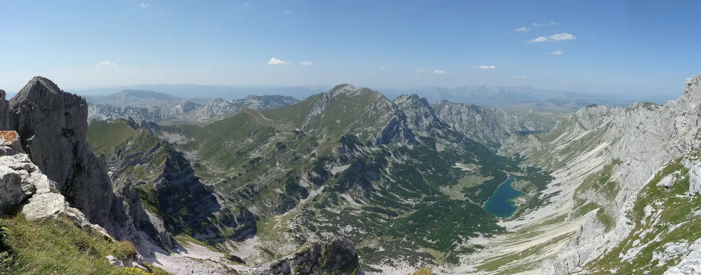
The highest point of the route, with a nearby viewpoint at 2346 m a.s.l.; located 7.7 km from the start.
The trail passes through Durmitor National Park along its entire length.
A peak near the trail, 7.5 km from the start.
A peak near the trail, 7.1 km from the start.
A drinking water spring at 0.9 km from the start, at 1462 m a.s.l.
Bring enough water; there is Božov izvor and one other spring along the trail, but rely on your own supplies.
Wear high hiking boots and layered clothing; the trail is demanding (SAC T3).
Set off early in the morning; the duration without breaks is 6 h 45 min, and the trail is one-way.
Check the weather forecast and avoid the trail during thunderstorms or fog; the highest point is at 2347 m a.s.l.
Tell someone your route plan and expected return time; mobile signal in the mountains may be weak.
The trail reaches 2347 m a.s.l. and is partially demanding (T3). Check the weather forecast, as fog and thunderstorms in the mountains are dangerous. In case of emergency, call 112.
Emergency number in Montenegro: 112.
Good to know
Best season
The best period for this trail is from June to September, when the paths at this altitude are usually passable and weather conditions are more stable. In spring and autumn there may be snow, and in winter the trail is technically demanding.
Getting there
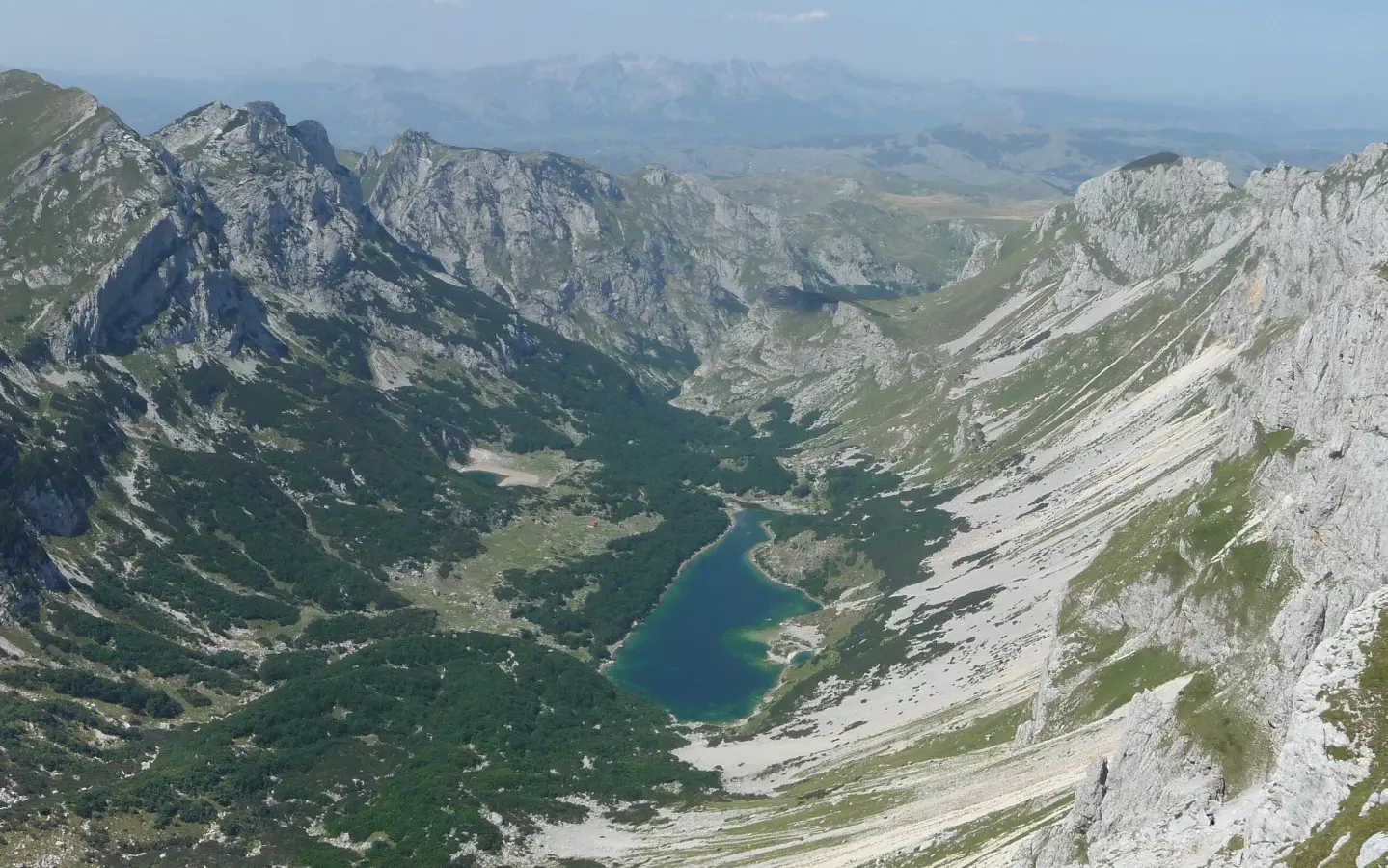
The trailhead is near Žabljak, at the parking lot at 0.0 km. The nearest lake, Crno Jezero, is about 1.4 km from the start of the trail.
The trail is 11.7 km long and runs in one direction, from Žabljak to Šarban.
The estimated duration without breaks is 6 h 45 min.
The difficulty is demanding on our scale, i.e. T3 on the SAC hiking scale; the total ascent is 1090 m, and the descent is 831 m.
The lowest point is at 1425 m a.s.l., and the highest is at 2347 m a.s.l.
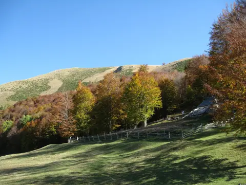
Hiking · Crno Jezero · Durmitor National Park

Hiking · Crno Jezero · Biogradska Gora National Park
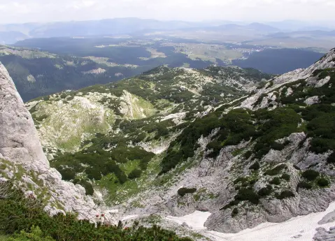
Hiking · Crno Jezero · Durmitor National Park
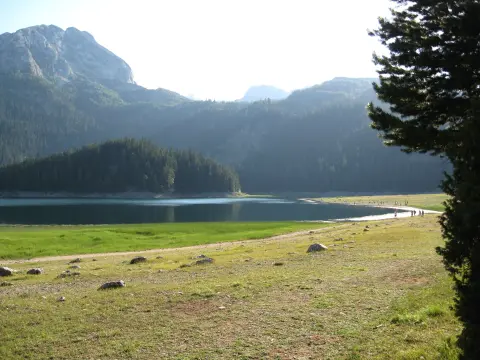
Hiking · Crno Jezero · Durmitor National Park
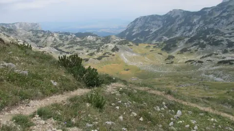
Hiking · Crno Jezero · Durmitor National Park
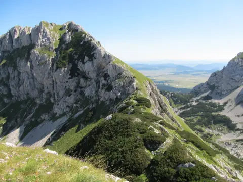
Hiking · Crno Jezero · Durmitor National Park
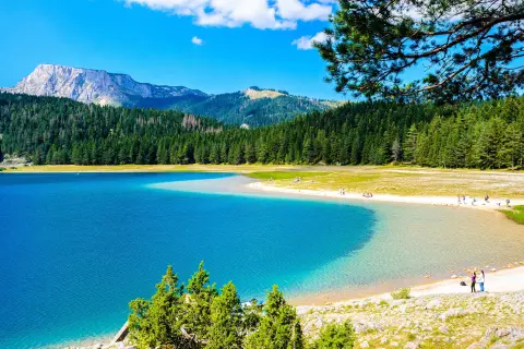
Walking · Crno Jezero · Durmitor National Park
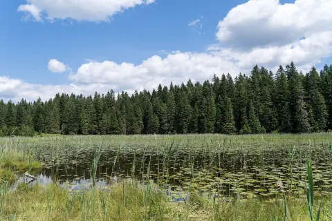
Hiking · Crno Jezero · Durmitor National Park
Times and grades are estimates. Conditions change: check the weather and local information before you set out. Map and data sources →