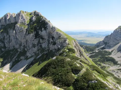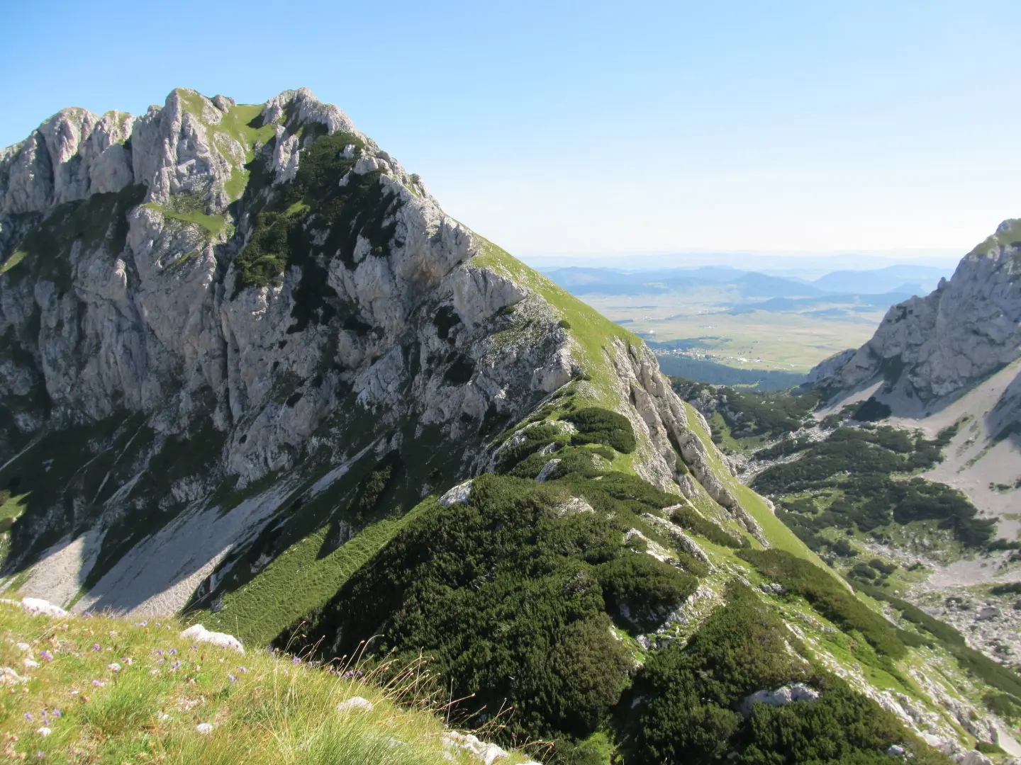
A demanding hiking tour through Durmitor National Park with viewpoints, a pass, and the Terzin Bogaz peak.
A one-way hiking tour from Crno jezero to Lokvice, 9.6 km long with a total ascent of 933 m. It leads through Durmitor National Park, past the Točak spring, an alpine bivouac, and viewpoints.
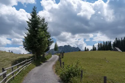
The trail is located in Durmitor National Park and starts at Crno jezero, about 0.4 km from the lake. It runs mostly on gravel road (62%) and dirt/forest trail (32%). After 1.1 km you reach the Točak spring (1550 m a.s.l.), and at 3.2 km a viewpoint at 1790 m a.s.l. The ascent then leads to an alpine bivouac at 2020 m a.s.l. (5.5 km).
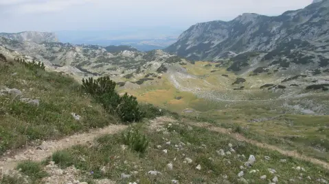
The second part of the tour is the most demanding. At 6.6 km from the start, along the trail is the peak Terzin Bogaz (2306 m a.s.l.). Nearby are viewpoints at 2194 m and 2191 m (6.8 km) and the pass Mala Previja at 2200 m a.s.l. (6.9 km). This is followed by a descent to a shelter at 1802 m, the Durmitor Camp campsite at 1798 m and a viewpoint at 1793 m, before the finish in Lokvice at 9.6 km.
The tour is 9.6 km long, with a total ascent of 933 m and descent of 569 m. The lowest point is 1422 m a.s.l., and the highest 2271 m a.s.l. It is very demanding and intended for experienced hikers (SAC T3).
What this difficulty means
Very long or alpine terrain where hands may be needed, with few ways out. Only for experienced mountaineers in stable weather.
Mountain hiking grade SAC T3 (scale T1–T6).
Move along the profile to follow the route on the map; switch on 3D for the terrain.
↑ 933 m · ↓ 569 m · highest point 2,271 m
Along the way
Photos and short clips from points along the route – tap one to open it.
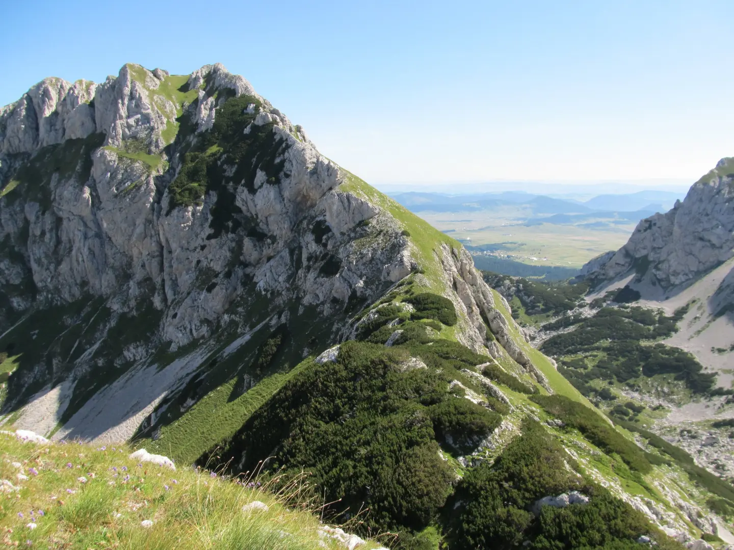
A peak along the trail at 2306 m a.s.l., 6.6 km from the start.
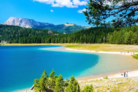
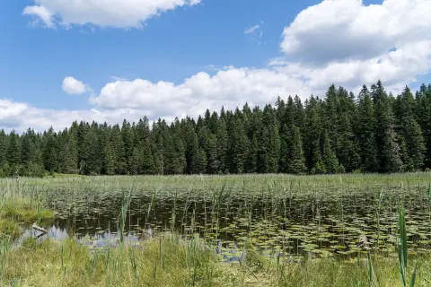
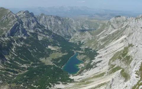
A lake in Durmitor National Park, about 0.4 km from the trailhead.
A spring at 1550 m a.s.l., 1.1 km from the trailhead.
A shelter at 2020 m a.s.l., 5.5 km from the trailhead.
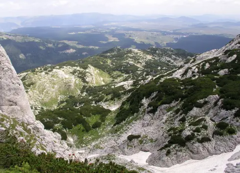
Viewpoints at 2194 m and 2191 m a.s.l. and the Mala Previja pass at 2200 m a.s.l., 6.8–6.9 km from the start.
Bring enough water, especially for the second, higher part of the tour.
Start early in the morning; the duration without breaks is 5 h 25 min, and with breaks allow a full day.
Wear hiking boots with good grip; the trail is very demanding, with gravel and dirt sections.
Check the weather forecast; at altitudes above 2200 m the weather changes quickly.
Bring layered clothing and protection from wind and sun.
At altitudes above 2200 m, fog and thunderstorms can develop quickly. The trail is marked, but follow the markings and do not leave the trail. In case of an accident, call 112.
Emergency number in Montenegro: 112.
Good to know
Best season
The most favorable period is the summer part of the year, from June to September, when the trails on Durmitor are usually passable. At altitudes above 2000 m and in the transitional months there may be snow.
Getting there
The trailhead is about 0.4 km from Crno jezero. The nearest town is Žabljak, about 2.3 km from the trail.
The trail is 9.6 km long one way, with a total ascent of 933 m and descent of 569 m.
Without breaks, about 5 h 25 min. This is an estimate of walking time, so with breaks you should plan for more time.
The trail is very demanding, intended for experienced hikers. On the SAC scale, it is rated T3.
It starts near Black Lake, about 0.4 km from the lake, and ends in Lokvice, at 9.6 km from the start.
Hiking · Crno Jezero · Durmitor National Park

Hiking · Crno Jezero · Durmitor National Park
Hiking · Crno Jezero · Durmitor National Park
Walking · Crno Jezero · Durmitor National Park
Hiking · Crno Jezero · Durmitor National Park
Mountain biking · Crno Jezero · Durmitor National Park
Hiking · Crno Jezero · Durmitor National Park
Hiking · Crno Jezero · Durmitor National Park
Times and grades are estimates. Conditions change: check the weather and local information before you set out. Map and data sources →