Multi-day cycling route through the coastal region, Lovćen National Park and Durmitor National Park with a mixed surface.
Top Biking Trail 1 – SALTY AND SWEET is a very demanding one-way cycling route 406.3 km long. It passes by Perast and Dobrota and through Lovćen National Park and Durmitor National Park.
General information Top Biking Trail 1 – SALTY AND SWEET is a multi-day one-way cycling route. It is 406.3 km long, with a total ascent of 10,191 m and a total descent of 9,363 m. The estimated riding time without breaks is 47 h 30 min. The surface is mixed: 73% asphalt/concrete, 22% gravel and 5% earth/forest trail. The lowest point is at 0 m above sea level, and the highest is at 1,949 m above sea level.
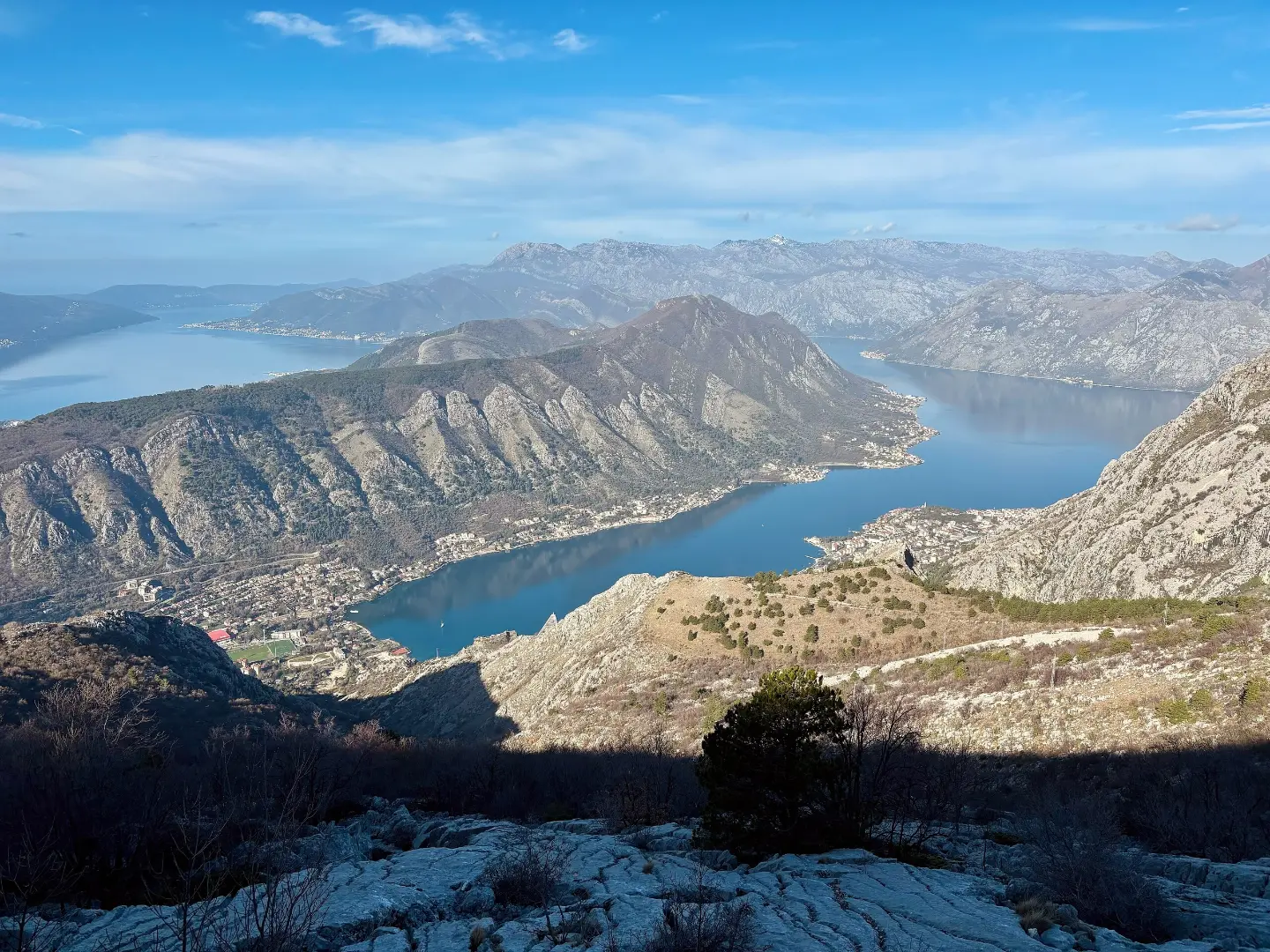
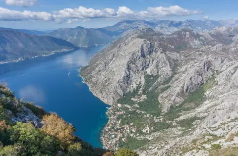
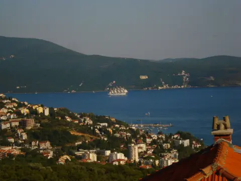
Route course The route starts near Španjola Fortress (about 1.4 km from the start). It passes by Perast, Dobrota and the beaches of Morinj, Bajova Kula and Orahovac, then through Lovćen National Park and Durmitor National Park. Along the way, coastal areas, viewpoints, mountain passes and river canyons alternate.
Who it is for Because of its length, large ascent and altitude difference, the route is very demanding and intended for experienced cyclists. Plan it as a multi-day tour, with enough food, water and spare equipment.
What this difficulty means
Very long, very steep or technical riding. For strong riders with good bike handling and self-sufficiency.
Move along the profile to follow the route on the map; switch on 3D for the terrain.
↑ 10,191 m · ↓ 9,363 m · highest point 1,949 m
Along the way
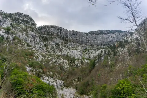
Photos and short clips from points along the route — tap one to open it.
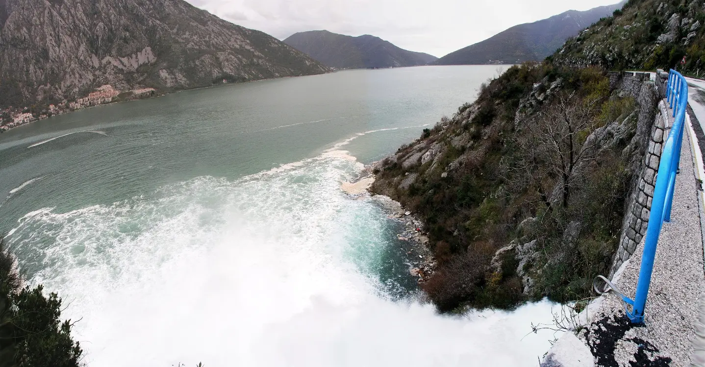
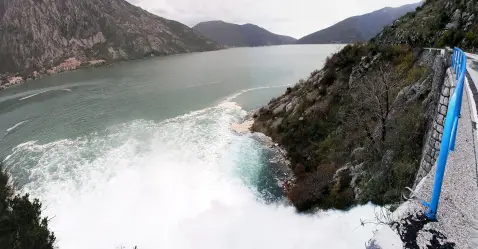
Waterfall “Sopot” at 21 m above sea level, 19.2 km from the start.
The trail passes by Perast (about 0.1 km from the trail) and by Dobrota (about 0.0 km from the trail).
The route passes through Lovćen National Park.
The route passes through Durmitor National Park.
Viewpoint at 1,932 m above sea level, 313.5 km from the start.
The route is multi-day – plan stages and accommodation in advance.
Bring enough water and food, especially for high mountain sections.
Prepare your bike for a mixed surface: asphalt, gravel and shorter earth/forest sections.
Check the weather forecast before setting off; it can be colder and unstable at altitude.
Because of the great length and ascent, carry repair equipment and first aid.
The route is very demanding and partly passes through mountain areas. On high sections fog, thunderstorms and sudden weather changes are possible. In case of emergency, call 112.
Emergency number in Montenegro: 112.
Good to know
Best season
Because of the large altitude difference (0–1,949 m above sea level), the most reliable period is from late spring to early autumn. High mountain sections can have colder and unstable weather even in summer.
Getting there
The trailhead is about 1.4 km from Španjola Fortress. Use Španjola Fortress as a landmark for reaching the start.
The trail is 406.3 km long.
The estimated time without breaks is 47 h 30 min; plan it as a multi-day tour.
The trail is very demanding and is intended for experienced cyclists.
It passes through Lovćen National Park and Durmitor National Park.

195 km↑ 3,259 m2–3 days
7.1 km↑ 128 m2–2½ h
88.4 km↑ 4,606 m4–6 days
2.5 km↑ 145 m45–65 min
14.8 km↑ 1,468 m7–10 h
5.1 km↑ 16 m1½–2 h
4.6 km↑ 18 m65–90 min
1.1 km40–55 min
Times and grades are estimates. Conditions change: check the weather and local information before you set out.

Ask about Montenegro
Ask me about destinations, restaurants or activities.