A demanding hiking tour through the Orjen massif with an impressive ascent and panoramic viewpoints.
The trail of 14.8 km leads from Motel Borići to Orjen Saddle, overcoming 1,468 m of ascent. The marked trail requires good fitness and mountain experience, and passes by caves, viewpoints, and a mountain hut.
The tour starts from Motel Borići (816 m a.s.l.) and the first few kilometres already offer rewards: the Ploća od Vratla viewpoint (1,157 m) at 2.5 km, the Vratlo pass (1,170 m) at 2.6 km, and the Rabovića Greda viewpoint (1,160 m) at 2.9 km. Nearby is also Za Vratlom (1,160 m), 2.8 km from the start.
After the pass, the terrain becomes increasingly demanding. At 5.2 km you pass by the Nikolina Jama cave (1,364 m), and at 6.1 km you reach the summit of Subra (1,679 m) — also the highest point of the route. Shortly after, the trail descends toward the continuation of the path.
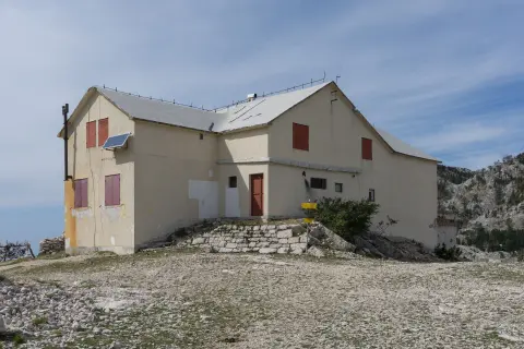
In the second part of the tour, at 12.3 km, there is a shelter at 1,453 m — a good spot for a short rest. The trail ends at Orjen Saddle, where the Orjen Mountain Hut (1,592 m) is located, 14.8 km from the start.
The surface is a combination of dirt forest trail (62%) and gravel road (38%). The trail is marked with red-and-white blazes. It is recommended for experienced hikers with good physical fitness.
What this difficulty means
Steep, rocky or exposed passages and a long day out. For fit, sure-footed hikers with mountain experience.
Move along the profile to follow the route on the map; switch on 3D for the terrain.
↑ 1,468 m · ↓ 698 m · highest point 1,671 m
Along the way
Photos and short clips from points along the route — tap one to open it.
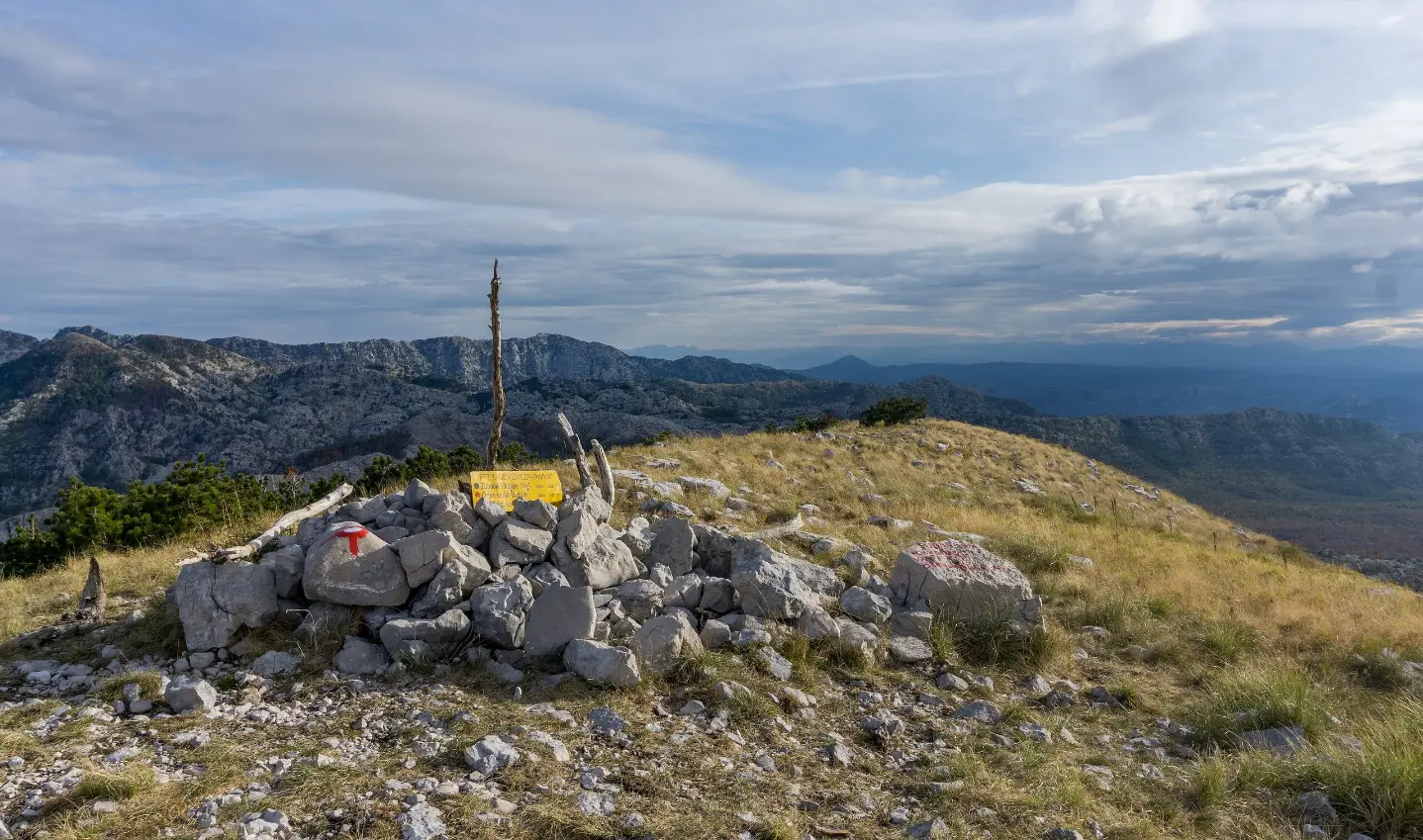
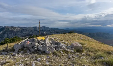
At 6.1 km from the start you reach the Subra summit — one of the key high-altitude goals on this tour, with a view over the Orjen massif.
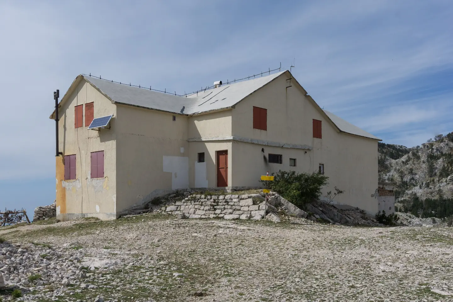
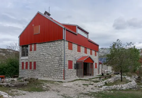
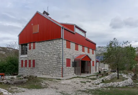
The mountain hut at 1,592 m a.s.l. awaits you at the very end of the trail — an ideal destination for rest after a long and strenuous ascent.
Ploća od Vratla (1,157 m) and Rabovića Greda (1,160 m) offer the first panoramic views early in the tour, around 2.5–2.9 km from the start.
At 5.2 km is the Nikolina Jama cave (1,364 m), and at 5.6 km the Shelter 1470 cave (1,498 m) — interesting geological points in the middle of mountain terrain.
At 12.3 km from the start, in the final section of the tour, there is a shelter that can serve as a resting point before arriving at Orjen Saddle.
Bring enough water — in the mountains you cannot rely on a safe water source along the trail.
Set off early in the morning: the tour without breaks takes about 8 h 10 min, so it is important to have enough daylight.
Wear mountain footwear with good rubber soles suitable for dirt trails and gravel roads.
Pack warm clothing and a windproof jacket — at altitudes above 1,500 m the temperature can drop suddenly.
The trail goes in one direction — arrange transport to the start and from the end of the trail in advance.
Monitor the weather forecast: fog and thunderstorms are common on Orjen, especially on summer afternoons.
The terrain on Orjen can be demanding in the event of fog, rain, or sudden weather changes — be sure to monitor the weather forecast and do not travel in fog without experience in mountain navigation. Carry spare equipment and inform someone about your planned route. In case of emergency, call the emergency services at 112.
Emergency number in Montenegro: 112.
Good to know
Best season
The trail is most accessible from late spring to early autumn, roughly from May to October. During the winter months, the higher sections above 1,400 m may be covered in snow and ice, which significantly increases the risk.
Getting there
The trail begins at Motel Borići. Nearby (about 4.5 km away) is Herceg Novi, from where you can arrange transport to the starting point.
The trail is 14.8 km long. The estimated walking time without breaks is 8 h 10 min.
The total ascent is 1468 m, and the total descent is 698 m. The lowest point is at 816 m, and the highest is at 1671 m above sea level.
The trail is rated as demanding. It is recommended for experienced hikers with good physical fitness.
Yes, the trail is marked with red-and-white trail markers. The tour is one-way — the starting point is at the Borići motel, and the end is at Orjen sedlo.
88.4 km↑ 4,606 m4–6 days
0.5 km↑ 135 m25–35 min
1.1 km40–55 min

406 km↑ 10,191 m6–8 days
2.5 km↑ 145 m45–65 min

195 km↑ 3,259 m2–3 days
0.9 km↑ 70 m20–30 min
7.1 km↑ 128 m2–2½ h
Times and grades are estimates. Conditions change: check the weather and local information before you set out.

Ask about Montenegro
Ask me about destinations, restaurants or activities.