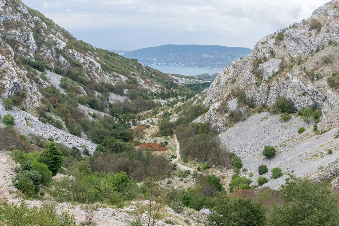
A short, marked hiking trail with 135 m of ascent to a viewpoint and mountain pass.
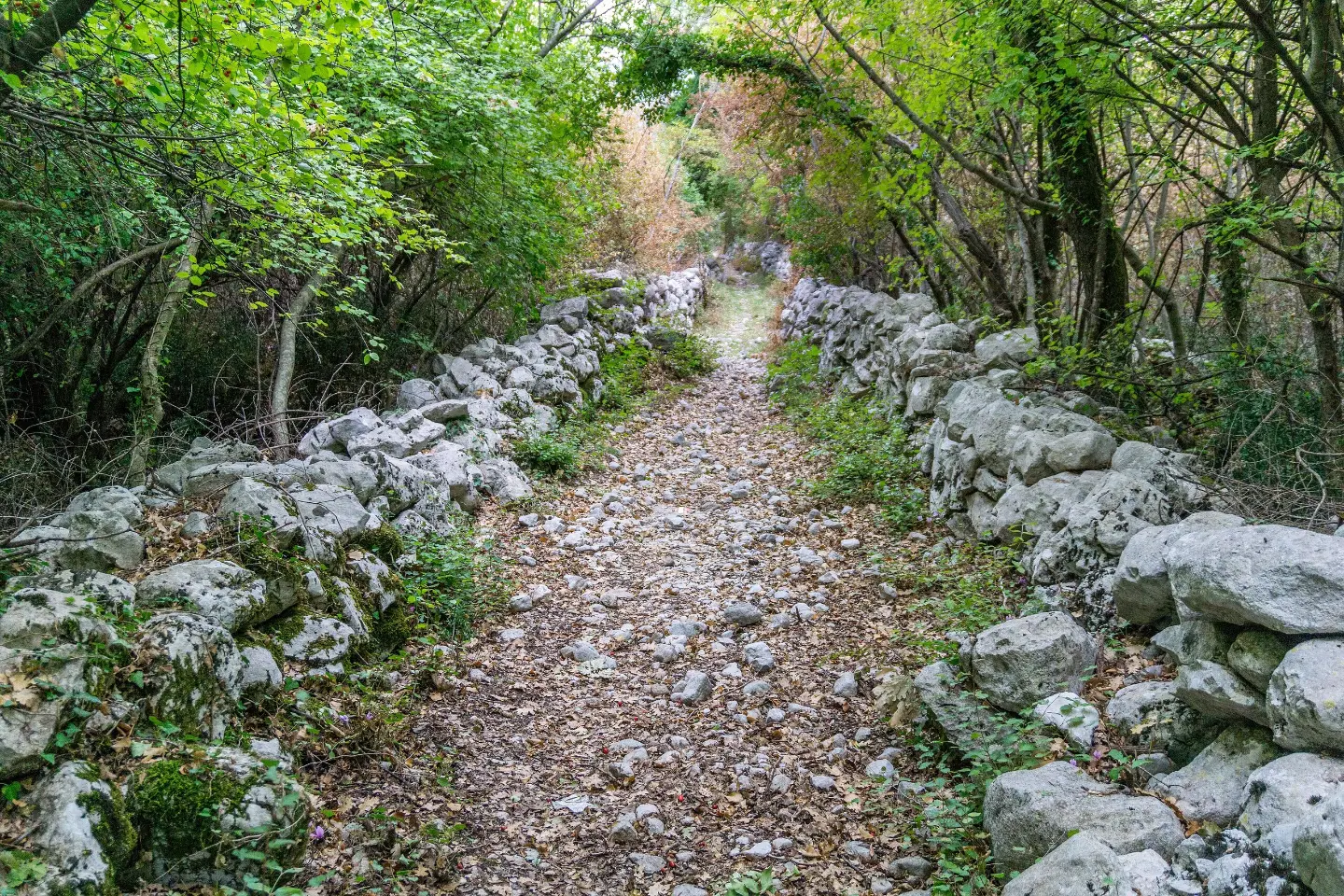
Starčevića Serpentines is an easy one-way hiking trail, only 0.5 km long. In about 30 minutes of walking, you gain 135 m of elevation on a gravel road to the viewpoint and the Malo Vratlo pass.
The trail starts at the parking lot (0.0 km from the start) and leads in one direction. The entire trail is gravel and is marked with red-and-white circular blazes. The length is 0.5 km, and the total ascent is 135 m, with no descent.
The ascent is short and the trail is easy. The lowest point is at 1,043 m a.s.l., and the highest at 1,188 m a.s.l. The estimated duration without breaks is about 30 minutes.
Near the end of the trail you will find the Vidikovac viewpoint at 1,175 m a.s.l. and the Malo Vratlo pass at 1,190 m a.s.l. From here, views of the surrounding area open up. The trail is suitable for less experienced hikers and recreational walkers.
What this difficulty means
Well-made paths with gentle gradients. Fine for families and anyone used to walking a few hours.
Move along the profile to follow the route on the map; switch on 3D for the terrain.
↑ 135 m · ↓ 0 m · highest point 1,188 m
Along the way
A nearby town, approximately 5.8 km from the trail.
The parking lot is located at 0.0 km from the start and is useful for accessing the trail.
Located at 1,175 m a.s.l., approximately 0.5 km from the start of the trail.
A mountain pass at 1,190 m a.s.l., reached at the end of the short ascent.
Wear shoes with good soles due to the gravel surface.
Bring enough water, even though the tour is short.
Check the forecast; above 1,000 m altitude it can be cool.
Bring sun or wind protection, depending on the season.
It is best to plan the tour outside the hottest part of the day.
The trail is short and easy, but on the gravel surface you should watch out for slipping when it is wet or icy. Bring water and sun protection. In case of an accident, call 112.
Emergency number in Montenegro: 112.
Good to know
Best season
The best period is from spring to autumn, when temperatures are pleasant for walking. In winter and early spring, at this altitude there may be snow or ice.
Getting there
The trailhead is at the parking lot (0.0 km from the start). The nearest known landmark is Tvrđava Španjola, approximately 5.6 km from the trailhead.
The trail is 0.5 km long.
The estimated duration without breaks is 30 minutes.
The trail is easy, with a total ascent of 135 m and no descent.
Yes, the trail is marked with red-and-white circular markers.
88.4 km↑ 4,606 m4–6 days
14.8 km↑ 1,468 m7–10 h
1.1 km40–55 min
0.9 km↑ 70 m20–30 min

406 km↑ 10,191 m6–8 days
8.7 km↑ 236 m2½–3½ h
Loop
2.5 km↑ 145 m45–65 min
7.1 km↑ 128 m2–2½ h
Times and grades are estimates. Conditions change: check the weather and local information before you set out.

Ask about Montenegro
Ask me about destinations, restaurants or activities.
