Circular walking tour with moderate ascents, forest sections and varied terrain.
A moderate circular trail 8.7 km long leads from 1013 m to 1160 m above sea level. The ascent is 236 m, the descent 233 m, and walking without breaks takes about 2 h 50 min.
Health Trail is a circular walking route that starts and ends in the same place. It is 8.7 km long, with a total ascent of 236 m and descent of 233 m. The lowest point is at 1013 m above sea level, and the highest at 1160 m above sea level. Without breaks, it takes about 2 h 50 min to walk and is rated as moderate.
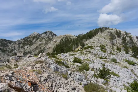
Terrain alternates: asphalt/concrete makes up 56% of the route, dirt/forest trail 24%, and gravel 20%. Part of the trail leads through forest, and part through open sections. The trail is managed by Orjen Nature Park.
In the wider surroundings are Španjola Fortress (about 8.5 km), Herceg Novi (about 8.9 km) and Igalo Beach (about 8.9 km). The route is suitable for regular walkers and hikers of moderate fitness. It does not require climbing experience, but good footwear makes the crossing easier. For the whole tour, without longer breaks, you should allow about three hours.
What this difficulty means
Longer or steeper sections and uneven ground. You need basic fitness, sturdy shoes and a little mountain experience.
Places on this route
Move along the profile to follow the route on the map; switch on 3D for the terrain.
↑ 236 m · ↓ 233 m · highest point 1,160 m
The trail is managed by Orjen Nature Park.
It is located about 8.5 km from the trail and is suitable for an additional visit.
The town is about 8.9 km from the trail; it is good for a rest or an extended stay.
The beach is about 8.9 km from the trail, so it can be part of a full-day trip.
Bring enough water, especially during the summer months.
Wear comfortable footwear because the terrain alternates: asphalt, gravel and forest trail.
Check the weather forecast before setting out; in mountainous areas, conditions change quickly.
The duration of 2 h 50 min does not include breaks; plan additional time for rest and a meal.
Start earlier in the warmer part of the year, and bring sun protection with you.
In case of thunderstorms, avoid open sections.
In mountainous areas, fog and thunderstorms can occur quickly. Before setting out, check the forecast and monitor weather changes during the walk. In emergencies, call 112.
Emergency number in Montenegro: 112.
Good to know
Best season
From late spring to early autumn, the trail is usually most accessible. In winter and after heavy rainfall, forest and gravel sections can be wet and slippery.
Getting there
The trail is about 8.9 km from Herceg Novi and about 8.5 km from Španjola Fortress. The trail is managed by Orjen Nature Park.
The trail length is 8.7 km; it is circular and starts and ends in the same place.
Without breaks, it takes about 2 h 50 min to walk. That is an estimate; with breaks, you should allow for more time.
It is rated as moderate. Total ascent is 236 m, descent 233 m, the lowest point is 1013 m a.s.l., and the highest is 1160 m a.s.l.
The trail is managed by Orjen Nature Park.
5.9 km↑ 367 m2–2½ h
2.7 km45–60 min
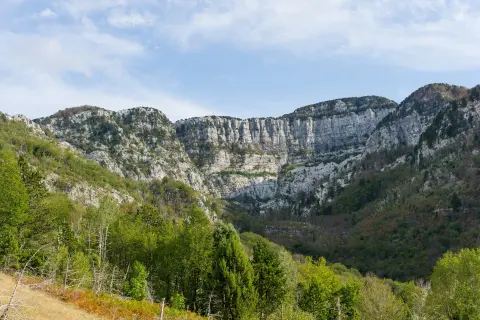
0.8 km↑ 23 m15–20 min
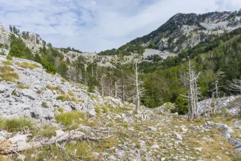
4.4 km↑ 581 m2–3 h
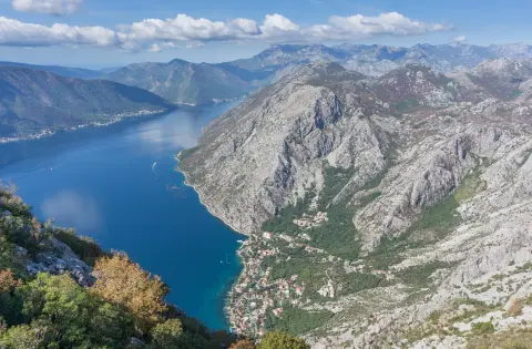
88.4 km↑ 4,606 m4–6 days
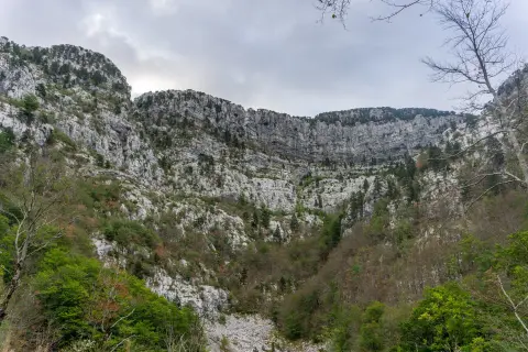
14.8 km↑ 1,468 m7–10 h
3.9 km↑ 711 m2½–3½ h
1.1 km40–55 min
Times and grades are estimates. Conditions change: check the weather and local information before you set out.

Ask about Montenegro
Ask me about destinations, restaurants or activities.
