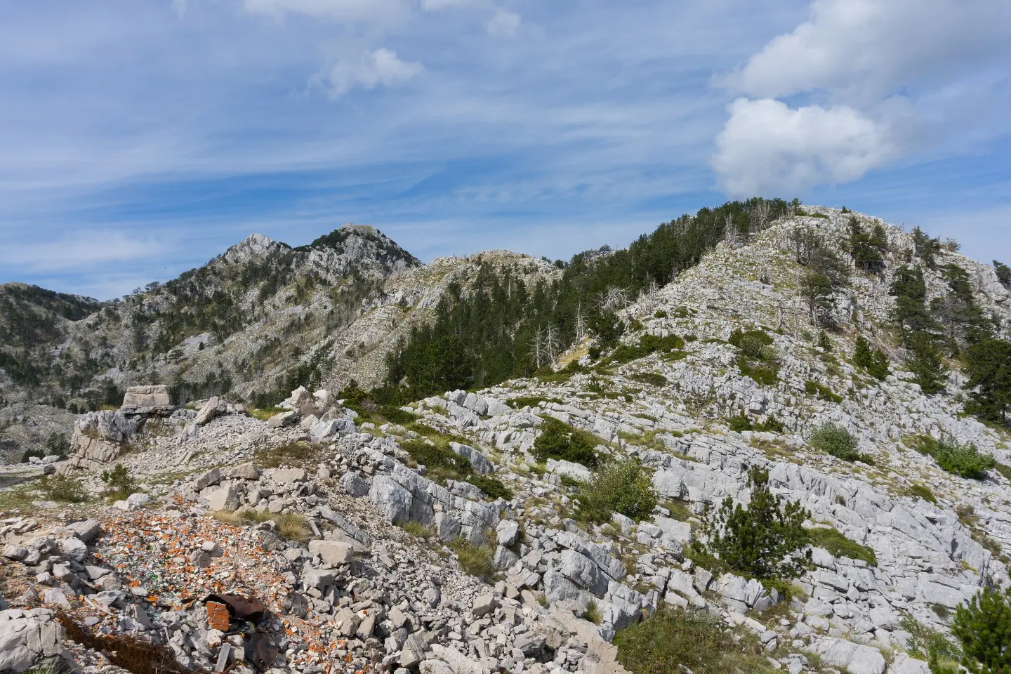
Hiking tour on Orjen: 3.9 km through the forest, 711 m of ascent to Zubački kabao.
Hiking trail on Orjen from Pod Duge to Zubački kabao: 3.9 km, 711 m of ascent, 31 m of descent and about 2 h 55 min of walking.
The trail, 3.9 km long, leads from Pod Duge to Zubački kabao. It runs in one direction, so the start and end are not at the same place. Walking time is about 2 h 55 min without breaks. Total ascent is 711 m, and total descent only 31 m. The lowest point is at 1,040 m a.s.l., and the highest at 1,727 m a.s.l.
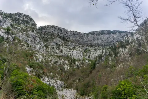
For its entire length the trail is dirt-surfaced and passes through forest. Although the difficulty is rated as moderate, the ascent is concentrated over a short section, so a solid level of fitness is required. The trail is marked.
Due to its one-way nature, it is necessary to plan your return or transport from Zubački kabao in advance. The trail is suitable for hikers who enjoy forest tours and want a shorter but elevation-rich route. The best months are June, July, August, September and October.
What this difficulty means
Longer or steeper sections and uneven ground. You need basic fitness, sturdy shoes and a little mountain experience.
Move along the profile to follow the route on the map; switch on 3D for the terrain.
↑ 711 m · ↓ 31 m · highest point 1,727 m
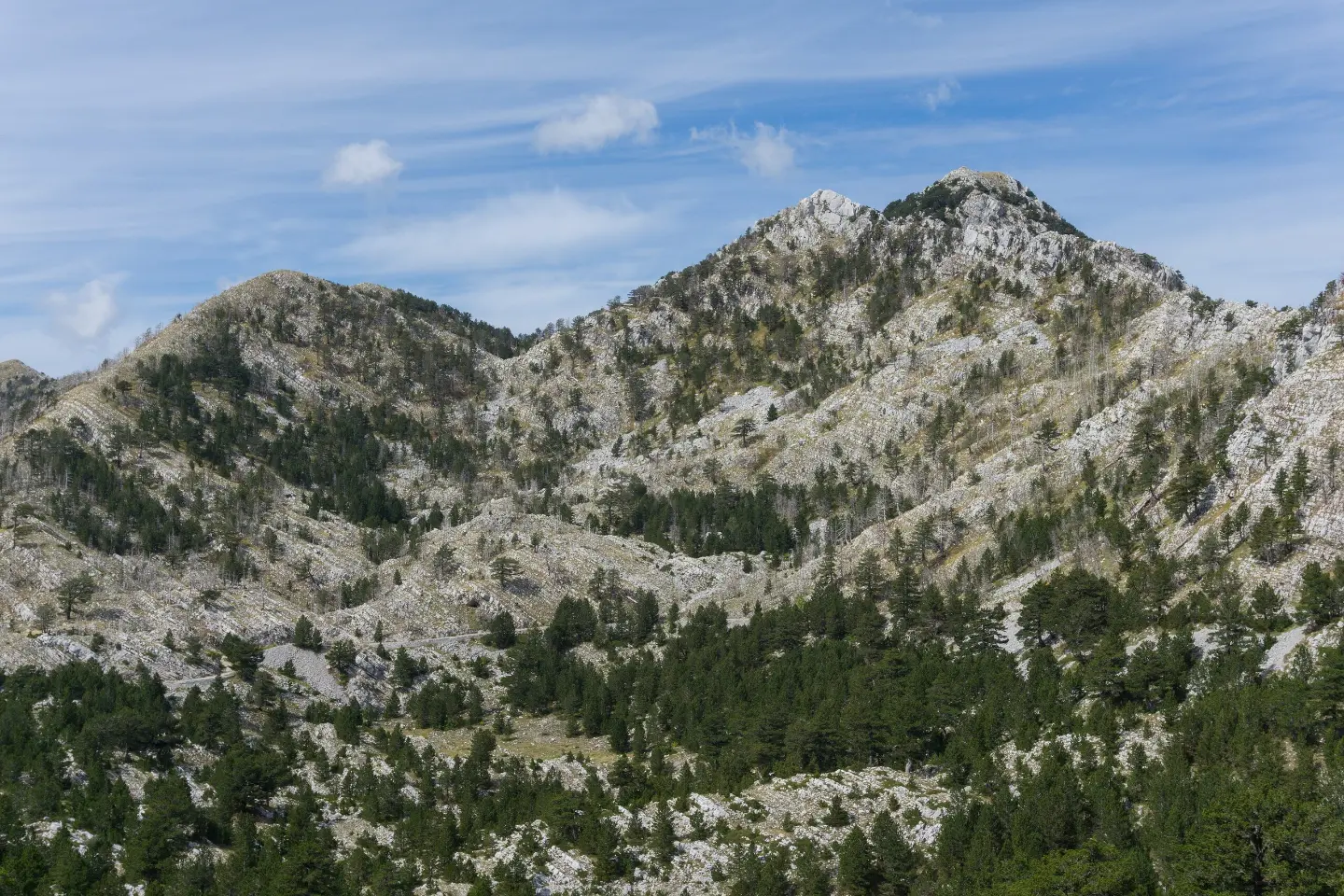
The finishing point of the trail on Orjen.
The starting point of the trail on Orjen.
For its entire length the trail has a dirt/forest surface.
Over a distance of 3.9 km, 711 m of ascent is covered, with a descent of only 31 m.
Bring enough water.
Wear sturdy hiking boots as the surface is dirt and forest terrain.
Check the weather forecast before setting off.
Plan your return or transport in advance, as the trail is not a loop.
Factor in breaks; the walking estimate is 2 h 55 min without rest.
Set off earlier during the summer months.
Mountain weather can change quickly, especially at higher altitudes. Bring enough water and sun protection. In case of an emergency call 112.
Emergency number in Montenegro: 112.
Good to know
Best season
The best months to visit are June, July, August, September and October.
Getting there
The starting point of the trail is Pod Duge on Orjen.
The trail is 3.9 km long and runs in one direction.
Without breaks, walking takes about 2 h 55 min. With rest stops, more time should be planned.
The difficulty is moderate. The total ascent is 711 m, and the descent is 31 m.
The best months are June, July, August, September, and October.
0.8 km↑ 23 m15–20 min
5.9 km↑ 367 m2–2½ h
2.7 km45–60 min

4.4 km↑ 581 m2–3 h
8.7 km↑ 236 m2½–3½ h
Loop
88.4 km↑ 4,606 m4–6 days
14.8 km↑ 1,468 m7–10 h

1.1 km40–55 min
Times and grades are estimates. Conditions change: check the weather and local information before you set out.

Ask about Montenegro
Ask me about destinations, restaurants or activities.
