A moderate one-way hiking trail with a viewpoint at 867 m a.s.l. and a mostly paved surface.
The Kruševice – Vrbanj hiking trail is 5.9 km long, with a total ascent of 367 m and an estimated duration of about 2 h 5 min. The trail is mostly paved, one-way, with a viewpoint at 867 m a.s.l.
The Kruševice – Vrbanj trail is a one-way mountain/hiking trail, 5.9 km long. It starts near the Kruševice 1 and Kruševice 2 bus stops, at 652 m and 656 m a.s.l., and ends in Vrbanj. The surface is almost entirely asphalt/concrete (98%).
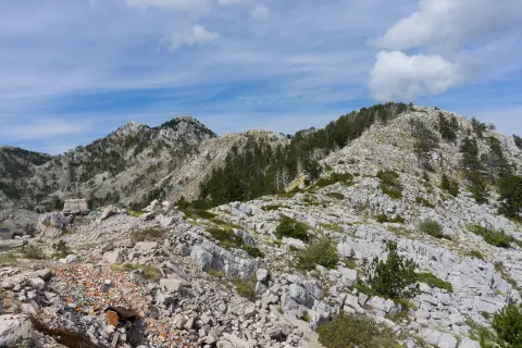
The total ascent is 367 m and the total descent is 11 m, so the walk is mostly uphill. The lowest point is at 656 m a.s.l. and the highest at 1018 m a.s.l. At 3.1 km from the start there is a viewpoint at 867 m a.s.l.
The estimated duration without breaks is about 2 h 5 min, and the difficulty is moderate. The trail is suitable for hikers and walkers with a basic level of fitness. Since it is not a loop, you should plan for your finish in Vrbanj and arrange transport accordingly.
Near the trail, within 10 km, you will find Igalo Beach, Tvrđava Španjola and Herceg Novi, so the hike can be combined with a visit to these attractions.
What this difficulty means
Longer or steeper sections and uneven ground. You need basic fitness, sturdy shoes and a little mountain experience.
Places on this route
Move along the profile to follow the route on the map; switch on 3D for the terrain.
↑ 367 m · ↓ 11 m · highest point 1,018 m
Along the way
At 3.1 km from the start of the trail there is a viewpoint at an elevation of 867 m.
Near the trail, about 9.1 km from it, is Igalo Beach.
Near the trail, about 9.2 km from it, is Tvrđava Španjola.
Near the trail, about 9.7 km from it, is Herceg Novi.
Wear comfortable walking shoes and clothing appropriate for the weather conditions.
Bring enough water and a snack.
Set off early, especially during the warmer months.
Check the weather forecast before you leave.
The trail is one-way, so plan your transport or return journey in advance.
The trail reaches 1018 m a.s.l., so weather conditions can change. In the event of fog or thunderstorms, do not continue in the open and wait for them to pass. For emergencies in Montenegro, call 112.
Emergency number in Montenegro: 112.
Good to know
Best season
The most pleasant period is from spring to autumn. In summer, the lower sections can be warm, so setting off earlier in the day is more comfortable.
Getting there
The trail starts near the Kruševice 1 and Kruševice 2 bus stops in Kruševice.
The trail is 5.9 km long.
The estimated duration without breaks is about 2 h 5 min.
The difficulty is moderate.
No, the trail is one-way; the start and end are not at the same place.
Hiking
Hiking
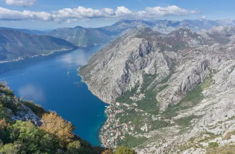
Hiking · Forte Mare Fortress · Lovćen National Park
Hiking · Španjola Fortress
Hiking
Hiking
Hiking
Hiking · Meljine Beach
Times and grades are estimates. Conditions change: check the weather and local information before you set out. Map and data sources →

