A short and easy one-way hiking trail, with a viewpoint near the end of the trail.
An easy hiking trail from Vrbanj to Sitnica, 2.7 km long. Mostly paved surface, 50 minutes of walking without breaks, and a viewpoint at the end.
Vrbanj – Sitnica is an easy one-way hiking trail, 2.7 kilometres long. It starts in Vrbanj and ends in Sitnica. Due to an ascent of only 5 metres and a descent of 140 metres, the trail is mostly walked downhill.
The surface is largely asphalt or concrete (93%), while a smaller portion (7%) passes along a dirt or forest path. The highest point of the trail is at 1018 metres above sea level, and the lowest at 869 metres. At 2.7 kilometres from the start, there is a viewpoint at 867 metres above sea level.
The estimated walking time without breaks is 50 minutes. The trail is suitable for all ages and does not require any special hiking experience. The trail is marked.
In the area around the trail, within a distance of up to 10 kilometres, you will find Igalo beach and the Španjola Fortress.
What this difficulty means
Well-made paths with gentle gradients. Fine for families and anyone used to walking a few hours.
Places on this route
Move along the profile to follow the route on the map; switch on 3D for the terrain.
↑ 5 m · ↓ 140 m · highest point 1,018 m
The viewpoint at 867 m above sea level is located 2.7 km from the start of the trail.
Igalo beach is approximately 9.8 km from the trail.
Španjola Fortress is approximately 9.9 km from the trail.
A length of 2.7 km, minimal ascent and descent; suitable for a leisurely walk.
Bring enough water, especially during warmer months.
Wear comfortable footwear as most of the walk is on asphalt or concrete.
Check the weather forecast before setting off; seek shelter from open areas in the event of thunder.
Set off earlier if you plan to walk in summer, to avoid the peak heat.
Let someone know your plan, even though the trail is easy.
The trail is easy and short, but always bring enough water and appropriate footwear. In the event of fog, bad weather, or thunder, avoid exposed sections and stay on the trail. For emergencies, call 112.
Emergency number in Montenegro: 112.
Good to know
Best season
The trail is at an altitude between 869 and 1018 metres. It is most pleasant to walk in spring and autumn; in summer it is advisable to set off in the morning or late afternoon, and in winter the higher sections are cooler.
Getting there
The trail starts in Vrbanj and ends in Sitnica.
The trail is 2.7 km long.
The estimated walking time without breaks is 50 minutes.
The trail is of easy difficulty and suitable for all ages.
No, the trail is one-way; the start and end are not at the same location.
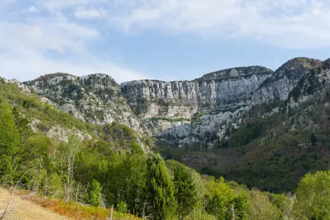
Hiking
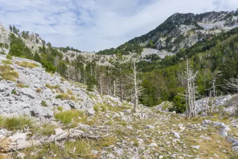
Hiking
Hiking
Hiking
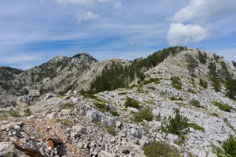
Hiking
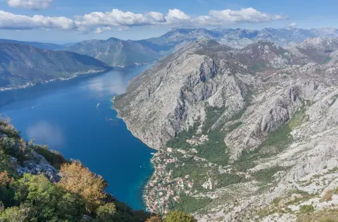
Hiking · Forte Mare Fortress · Lovćen National Park
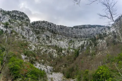
Hiking · Španjola Fortress
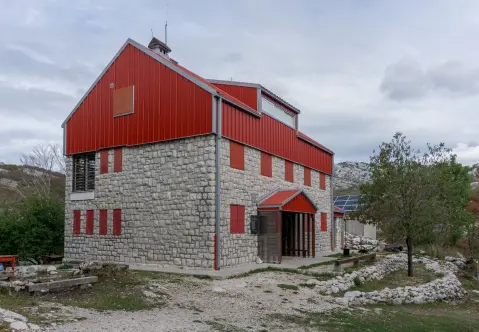
Hiking · Meljine Beach
Times and grades are estimates. Conditions change: check the weather and local information before you set out. Map and data sources →

