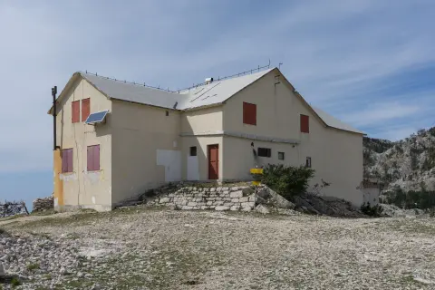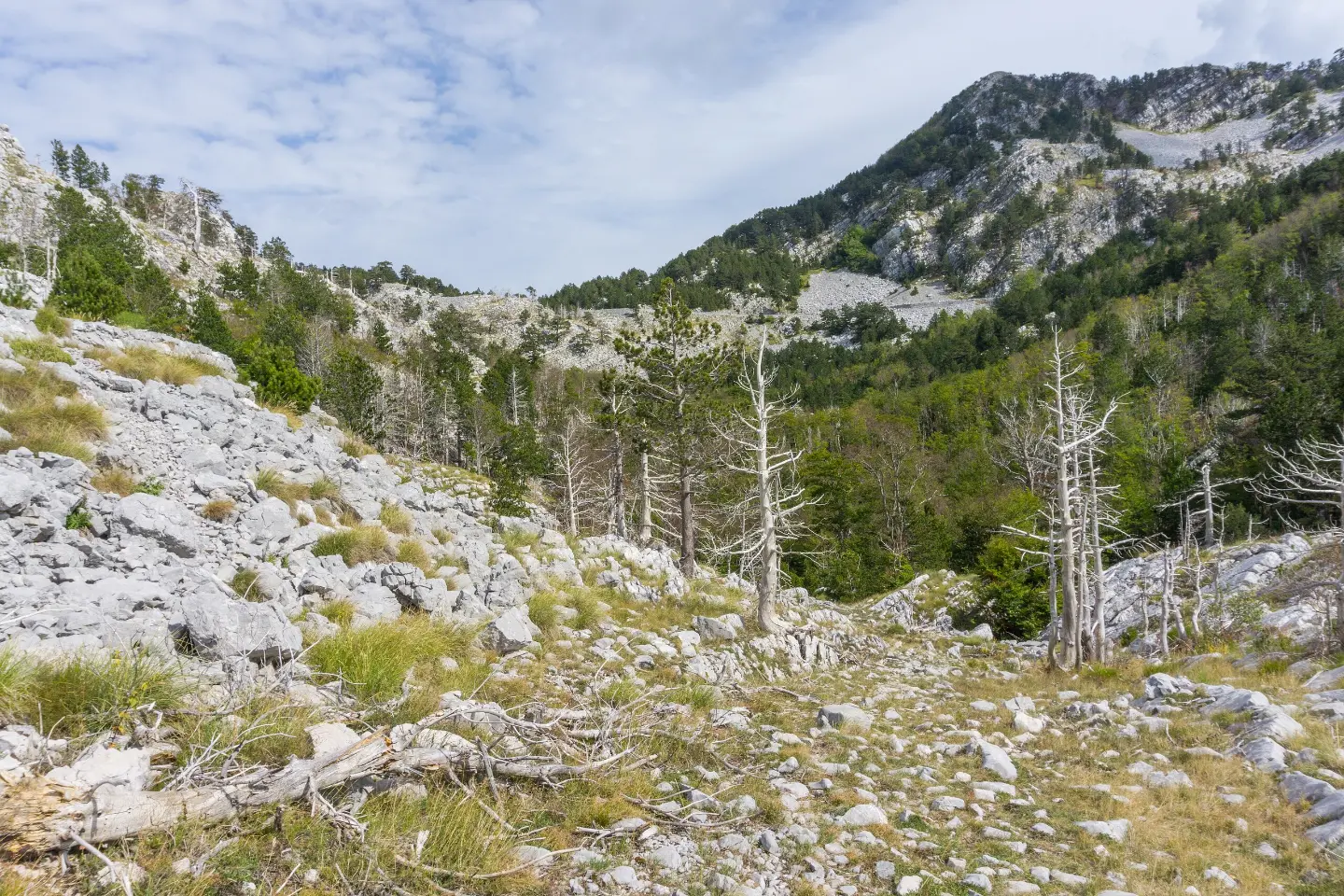
A short but steady hiking route through mixed terrain to Orjen sedlo and the mountain hut.
The Vrbanj – Orjen sedlo trail is 4.4 km long with 581 m of ascent. This moderately difficult route leads to a shelter and the Orjen Mountain Hut at the end.
The Vrbanj – Orjen sedlo trail is 4.4 km long and gains 581 m of ascent, with no descent. It starts in Vrbanj at 1,008 m a.s.l. and climbs to Orjen sedlo at 1,593 m a.s.l. The route is one-way, so you should plan a return or transport.
The surface is mixed: about 42% is earthy or forest trail, 40% asphalt/concrete, and 17% gravel road. The trail is waymarked and, according to the hiking scale, falls into the T1, technically undemanding category. Walking without breaks takes about 2 h 30 min.
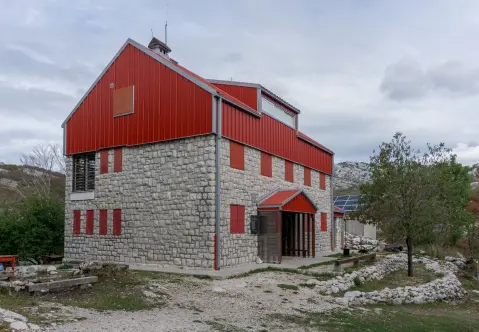
At 3.3 km from the start there is a shelter at 1,453 m a.s.l. The final section leads to Orjen sedlo, where at 1,592 m a.s.l. there is the mountain hut/lodge Orjen Mountain Hut. The highest point of the route is at 1,593 m a.s.l.
The route is suitable for hikers with basic fitness. Because of the one-way route and the elevation difference, good footwear, a slow pace, and enough water are recommended.
What this difficulty means
Longer or steeper sections and uneven ground. You need basic fitness, sturdy shoes and a little mountain experience.
Mountain hiking grade SAC T1 (scale T1–T6).
Move along the profile to follow the route on the map; switch on 3D for the terrain.
↑ 581 m · ↓ 0 m · highest point 1,593 m
Along the way
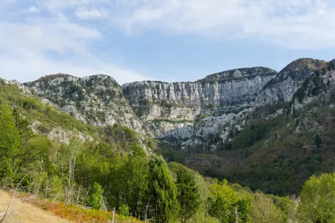
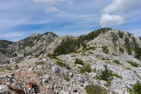
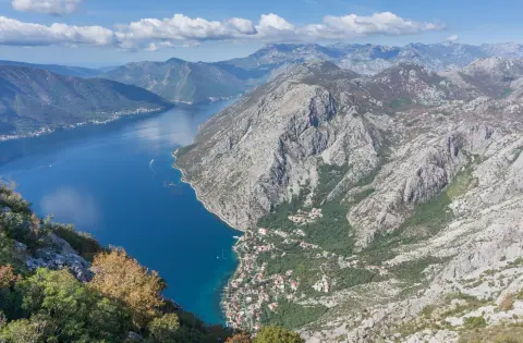
Photos and short clips from points along the route – tap one to open it.
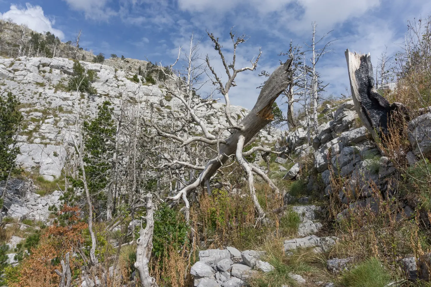
Start point of the trail at 1,008 m a.s.l.
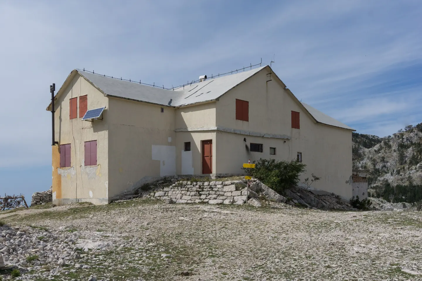
Mountain hut/lodge at 4.4 km from the start, at 1,592 m a.s.l.
Located 3.3 km from the start, at 1,453 m a.s.l.
The end point of the trail and the highest point of the route at 1,593 m a.s.l.
Bring enough water, especially in summer.
Wear hiking footwear because of the mixed surface and the ascent.
Start early in the morning to avoid the hottest part of the day and finish before dark.
Check the weather forecast; at higher sections, fog and thunderstorms can quickly change conditions.
Because of the one-way route, arrange transport at Orjen sedlo in advance or plan a return.
The trail is technically undemanding, but weather conditions at 1,593 m a.s.l. can change quickly. In case of fog or thunderstorm, wait in a safe place. The emergency number in Montenegro is 112.
Emergency number in Montenegro: 112.
Good to know
Best season
The most favourable period is from late spring to early autumn, when the trails are dry and visibility is better. In winter, higher sections may have snow and ice.
Getting there
The start of the trail is in Vrbanj, at 1,008 m a.s.l. The end point is Orjen sedlo.
It is 4.4 km long, one way.
Walking without breaks takes about 2 h 30 min.
Total ascent is 581 m, with no descent. The lowest point is at 1,008 m a.s.l., and the highest at 1,593 m a.s.l.
The difficulty is moderate, and according to the SAC hiking scale T1 – technically undemanding, but requires basic fitness.
Hiking
Hiking
Hiking
Hiking
Hiking
Hiking · Forte Mare Fortress · Lovćen National Park
Hiking · Španjola Fortress
Hiking · Meljine Beach
Times and grades are estimates. Conditions change: check the weather and local information before you set out. Map and data sources →