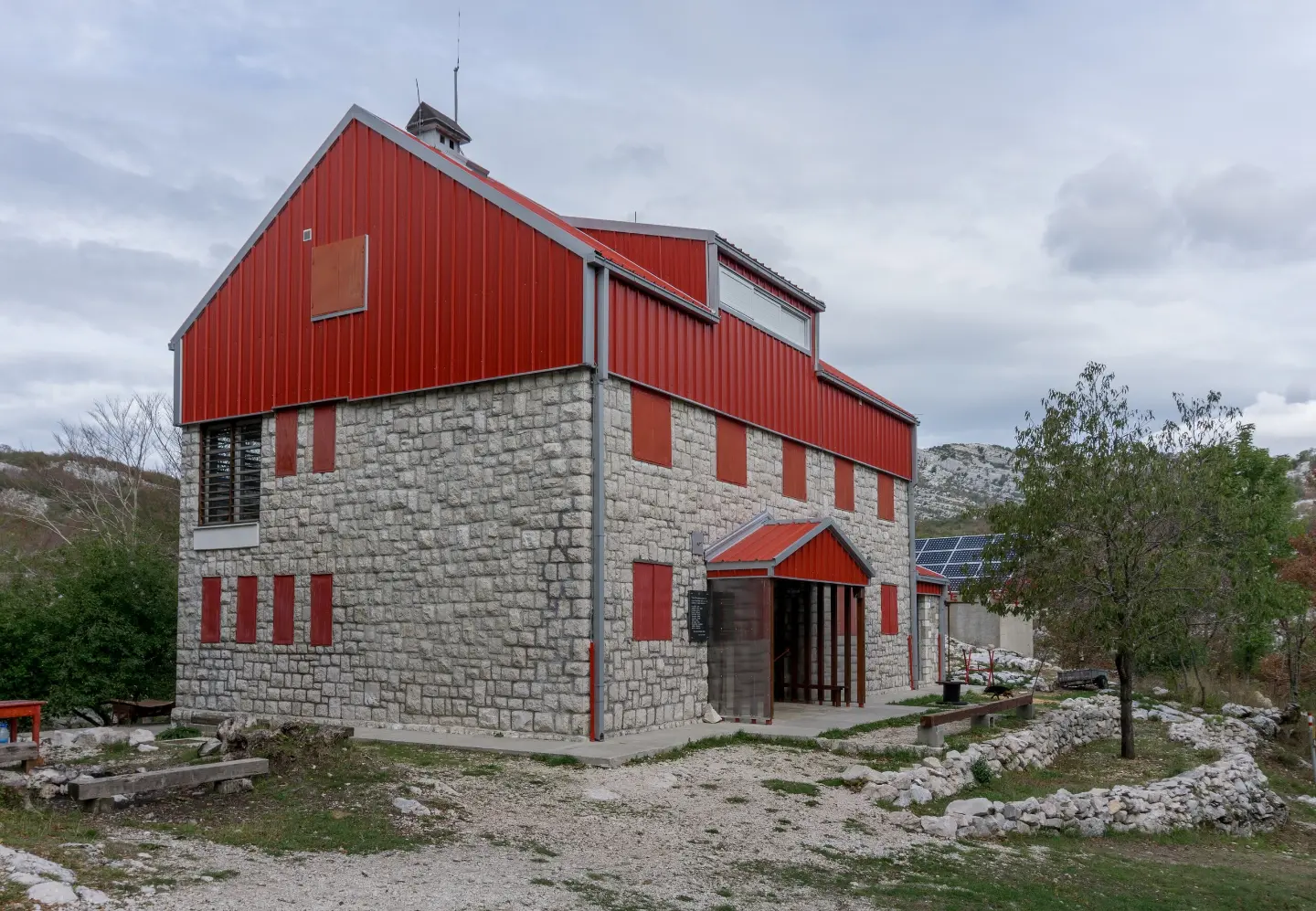
A short, easy and marked hiking tour through the forest from Za Vratlom to Siljevik.
Easy hiking tour from Za Vratlom to Siljevik: 1.1 km, 45 minutes without breaks, along an earth/forest trail. The trail is marked and located near Herceg Novi.
A short and easy hiking trail connects Za Vratlom and Siljevik. It is 1.1 km long, with a total ascent of 6 m and a descent of 283 m. The tour takes about 45 minutes without breaks.
The trail is marked with red-and-white markings and runs exclusively along an earth/forest path. Along the route are a viewpoint at 1175 m a.s.l. and the Malo Vratlo pass at 1190 m a.s.l. The highest point is 1446 m a.s.l., and the lowest is 1166 m a.s.l. The destination is Siljevik Peak at 1452 m a.s.l., and in the area there is also the Za Vratlom mountain hut/shelter at 1160 m a.s.l.
Due to its short length and small ascent, it is suitable for all ages and beginners. The trail is one-way, so plan a return or transport at the end. Within 10 km are also Herceg Novi, Španjola Fortress and Kanli Kula Fortress.
What this difficulty means
Well-made paths with gentle gradients. Fine for families and anyone used to walking a few hours.
Move along the profile to follow the route on the map; switch on 3D for the terrain.
↑ 6 m · ↓ 283 m · highest point 1,446 m
Along the way
It is located at 1160 m a.s.l., 1.1 km from the trailhead.
Destination peak at 1452 m a.s.l.
Scenic viewpoint at 1175 m a.s.l., on the trail route.
Pass at 1190 m a.s.l., 0.7 km from the start.
Wear footwear for an earth/forest trail.
Bring enough water even though the tour is short.
Check the weather forecast; fog can reduce visibility.
The trail is one-way – plan a return or transport at the end.
Start earlier in the day.
The trail is easy, but in mountain conditions fog and thunderstorms can arrive quickly. Check the forecast and bring a charged phone. The emergency number in Montenegro is 112.
Emergency number in Montenegro: 112.
Good to know
Best season
Due to the elevation from 1166 m to 1446 m, it is most pleasant from late spring to early autumn. In winter and early spring, snow and cold are possible.
Getting there
The trailhead is at Za Vratlom. The nearest place to the trailhead is Meljine Beach, about 5.3 km away; Herceg Novi, Španjola Fortress and Kanli Kula Fortress are also nearby.
The trail is 1.1 km long.
Without breaks, the crossing takes about 45 minutes.
It is easy; the total ascent is 6 m and the descent is 283 m.
Yes, it is marked with red and white markings.
Hiking · Španjola Fortress
Hiking · Forte Mare Fortress · Lovćen National Park
Hiking · Španjola Fortress
Hiking · Morinj Beach
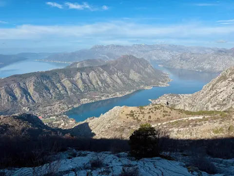
Cycling · Španjola Fortress · Durmitor National Park
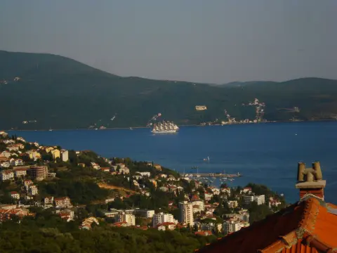
Walking · Španjola Fortress
Hiking
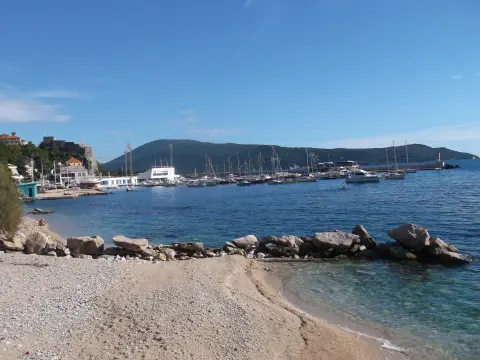
Walking · Igalo Beach
Times and grades are estimates. Conditions change: check the weather and local information before you set out. Map and data sources →

