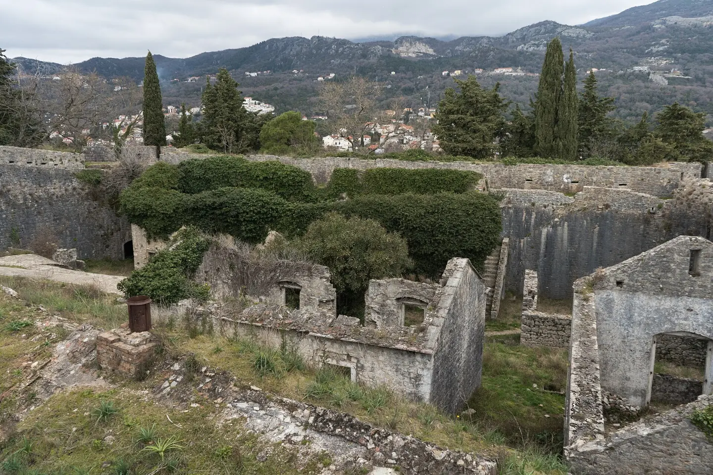
A fortress at 170m above sea level with views over the entire Bay of Kotor
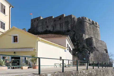
Španjola Fortress, also known as the Upper Town, is situated on Bajer Hill at 170 metres above sea level above Herceg Novi.
Built between the 15th and 16th centuries during Turkish rule, it was named after the Spaniards who expanded and reinforced it during their one-year rule from 1538 to 1539. The fortress is surrounded by massive walls with four circular bastions at the corners, and over the centuries it was used by the Turks, Venetians, Russians, French and Austro-Hungarians. From its ramparts there is a panoramic view over the entire town, Kanli Kula, Forte Mare and the entrance to the Bay of Kotor.
Highlights
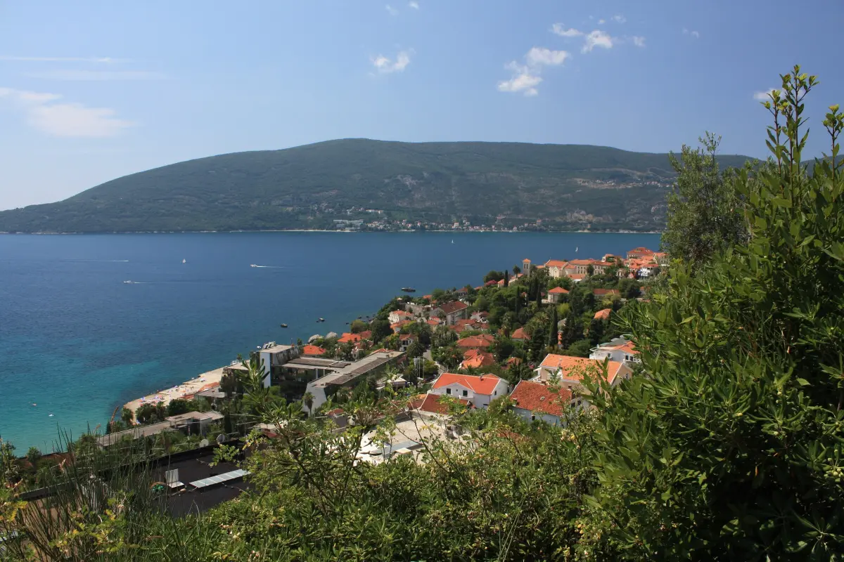
From the ramparts of Španjola Fortress at 170 metres above sea level there is a view that encompasses the whole of Herceg Novi, the fortresses of Kanli Kula and Forte Mare, the entrance to the Bay of Kotor and the open Adriatic Sea. Due to its strategic position on Bajer Hill, this was one of the most important defensive viewpoints on the entire Montenegrin coast. The view is especially impressive from the southern and western bastions, from where the Verige Strait is clearly visible — the narrowest point of Boka, only 300 metres wide.
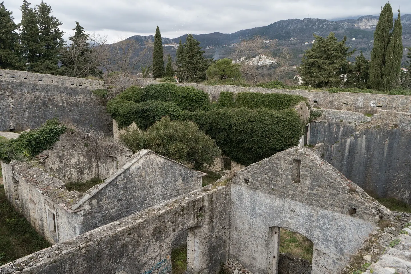
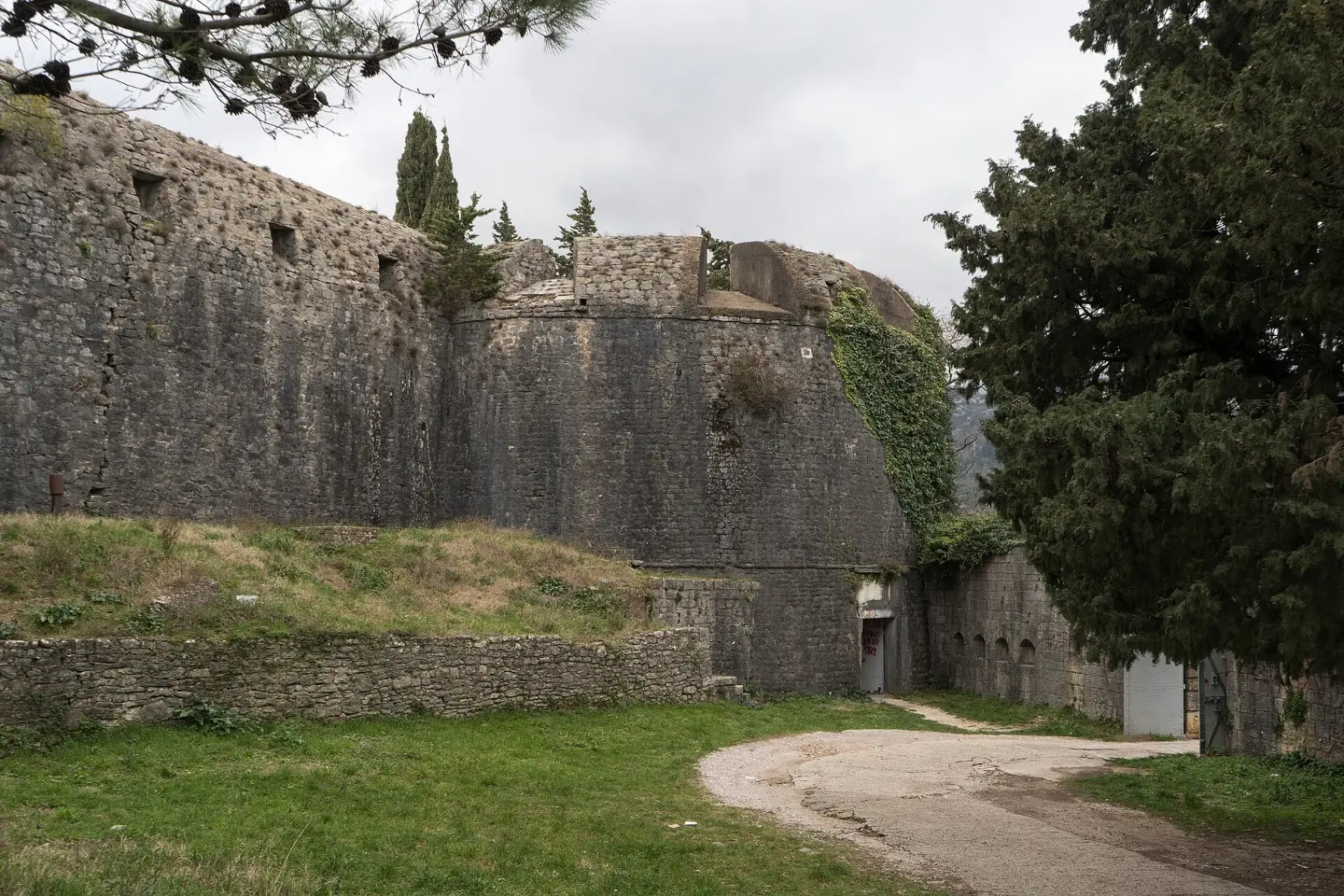
The fortress is surrounded by massive stone walls with four circular bastions at the corners, characteristic of 16th-century fortification architecture. The main entrance on the eastern side is secured by an outer wall, while the southern side facing the sea was extended during Venetian rule. On the western side the remains of Turkish architecture and parts of a former mosque are preserved, and the Venetians also built a large semicircular wall between two bastions, creating an inner courtyard. The Austro-Hungarians added new structures next to the fortress in line with the military standards of the 19th and early 20th centuries.
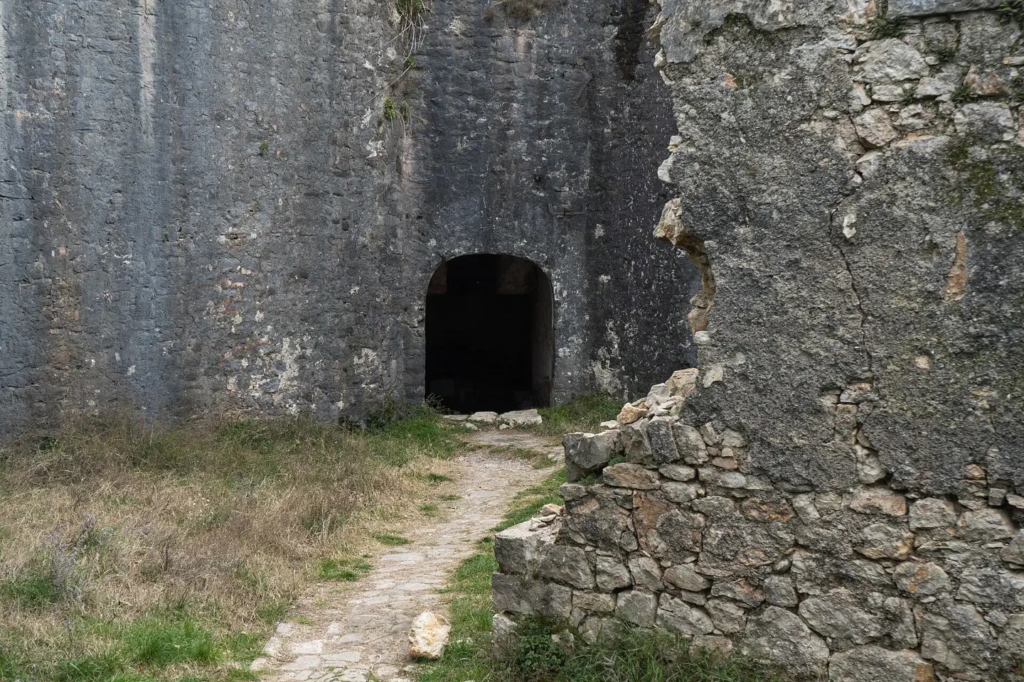
Few fortifications in the former Yugoslavia have as turbulent a history as Španjola. The fortress was built between 1539 and 1548 by the Turks, who recaptured it after the brief one-year Spanish rule from 1538 to 1539 — after the Spaniards it received its popular name. Later rulers — the Venetians, Russians, French and Austro-Hungarians — each left an architectural mark. In 1806 the fortress resisted Napoleon's army, and in the Second World War it served as a prison. It also survived the devastating earthquake of 1979 that struck the Montenegrin coast.
Kanli Kula Fortress, which translates as Bloody Tower, was built in 1539 by the Turks and is located directly below Španjola, at the northern point of the Old Town. During Turkish rule it housed a prison, which is how it got its name. Today it is arranged as a cultural and tourist facility managed by JUK Herceg fest since 2000. Concerts and film screenings are organised on its walls during the summer.
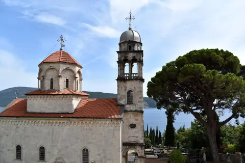
The Savina monastery complex is located east of the centre of Herceg Novi and is one of the most important Orthodox sacral sites on the Montenegrin coast. The complex consists of three churches: the Great Church (1777–1799) and the Small Church, the oldest in the complex (an inscription cites 1030, while experts link it to the 15th century) — both dedicated to the Dormition of the Mother of God — and the church of St. Sava, according to tradition from the 13th century.
What to do
A walk along the massive walls and a tour of the four circular bastions of the fortress.
Panoramic photography of the Bay of Kotor, Kanli Kula and Forte Mare from a height of 170m.
Ascent on foot to the fortress through narrow streets and steps above the Old Town.
A tour of the remains of a Turkish mosque, Venetian extensions and Austro-Hungarian structures.
Narration, a map and the full text in the browser – no app, works offline.
Hiking, walking and cycling routes that start here or pass nearby, with maps and GPX downloads.

EuroVelo 8 – Mediterranean Route – Montenegro Section is a cycling route 195.0 km long from Njivice to Sukobin. It runs on asphalt, has 3,259 m of ascent and passes through the coastal area, Lovćen National Park and Lake Skadar.
195 km3,259 m2–3 days
View trail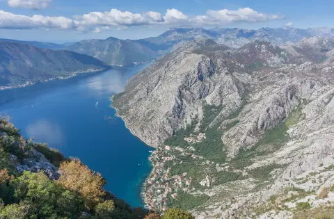
The Coastal Hiking Transversal connects Herceg Novi and Bar over a distance of 88.4 km, with a total ascent of 4606 m. It is marked and intended for experienced hikers; the estimated walking time without breaks is 33 h 50 min.
88.4 km4,606 m4–6 days
View trail
Top Biking Trail 1 – SALTY AND SWEET is a very demanding one-way cycling route 406.3 km long. It passes by Perast and Dobrota and through Lovćen National Park and Durmitor National Park.
406 km10,191 m6–8 days
View trail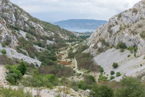
Starčevića Serpentines is an easy one-way hiking trail, only 0.5 km long. In about 30 minutes of walking, you gain 135 m of elevation on a gravel road to the viewpoint and the Malo Vratlo pass.
0.5 km135 m25–35 min
View trail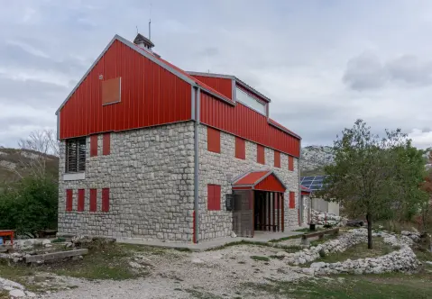
Easy hiking tour from Za Vratlom to Siljevik: 1.1 km, 45 minutes without breaks, along an earth/forest trail. The trail is marked and located near Herceg Novi.
1.1 km40–55 min
View trail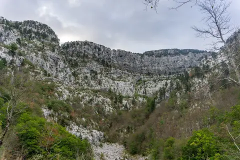
The trail of 14.8 km leads from Motel Borići to Orjen Saddle, overcoming 1,468 m of ascent. The marked trail requires good fitness and mountain experience, and passes by caves, viewpoints, and a mountain hut.
14.8 km1,468 m7–10 h
View trailAn easy hiking trail from Vrbanj to Sitnica, 2.7 km long. Mostly paved surface, 50 minutes of walking without breaks, and a viewpoint at the end.
2.7 km45–60 min
View trailThe Kruševice – Vrbanj hiking trail is 5.9 km long, with a total ascent of 367 m and an estimated duration of about 2 h 5 min. The trail is mostly paved, one-way, with a viewpoint at 867 m a.s.l.
5.9 km367 m2–2½ h
View trailGallery
Plan Your Visit
Admission
Free entry (no charge)
Open all year round, with no restricted working hours (free access)
Parking available right next to the fortress entrance, free of charge
The fortress is not suitable for wheelchairs — access is via a steep path, and the interior has uneven stone ground with no paved walkways
FAQ
Around here