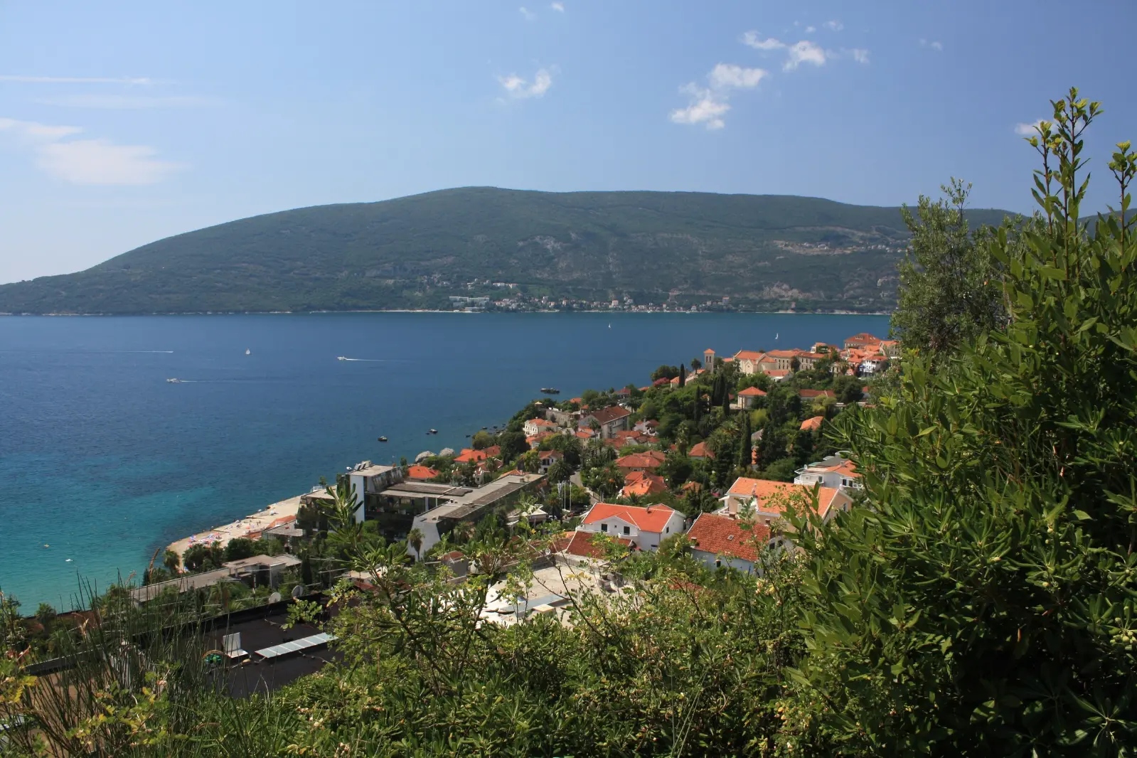
Travel to Montenegro
Herceg Novi Old Town: from the harbour to Kanli Kula
Free audio guide

Herceg Novi Old TownFrom the harbour to Kanli Kula

Free self-guided audio walk through the town of stairs, no app needed

  • Free · no app needed
  • 2 languagesME · EN
  • Moderate
walk
70 min
route
⁨1.4 km⁩
stops
11
of audio
15 min
Overview

A walking audio tour of Herceg Novi's Old Town: the Škver harbour and the monument to King Tvrtko, the Pet Danica promenade, Forte Mare, the remains of the Citadel, the churches of Saint Jerome and Saint Michael the Archangel, the clock tower, Nikola Đurković Square and the story of the Mimosa Festival, and finally Kanli Kula fortress. Nine stops, about an hour and a lot of stairs, with optional extensions to Španjola fortress and Savina Monastery.

How it works

  1. Press play at the first stop

    Nothing to install. Headphones are best; the lock screen and headphone buttons work too.

  2. Walk at your own pace

    Each stop ends with directions to the next one. Tap the next stop when you get there.

  3. Or let GPS guide you

    Choose “Guide me (GPS)” when you start: each stop begins when you arrive – while this page is open on screen.

Route

The walk on the map

The tour starts at Škver harbour, King Tvrtko I monument. Tap a number to play that stop.

Stop by stop

11 stops on the way

Listen, or read the full narration of every stop below.

Before you start

Welcome

Welcome to Herceg Novi. This is the Travel to Montenegro audio guide to the Old Town. The walk starts here, at the Škver harbour, by the monument to King Tvrtko the First. It has nine stops, from the sea up to Kanli Kula fortress, and takes about an hour. At the end you can climb on to Španjola fortress or walk to Savina Monastery. Herceg Novi is known as the town of stairs. There are plenty of them on this walk, and the stone is smooth, especially when wet. Wear shoes with a good grip and bring water. When you reach a stop, the story starts by itself. If it doesn't, tap the stop on the map. Keep one ear free so you can hear what's going on around you. Forte Mare and Kanli Kula charge an entrance fee; check opening hours on site. Let's go.
  1. The Škver and King Tvrtko's monument1
    Stop 11:15

    The Škver and King Tvrtko's monument

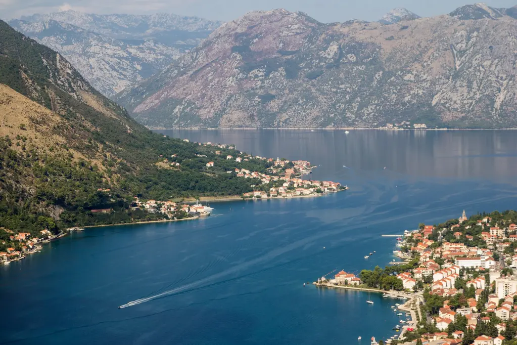
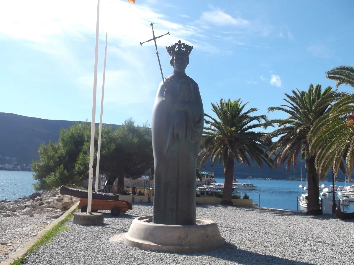
    You are standing on the Škver, the small town harbour, at the entrance to the town from the sea. The bronze figure with a crown and a cross is King Tvrtko the First Kotromanić, the Bosnian king who founded this town. According to the plaque in the clock tower, he laid its foundations in May, thirteen eighty-two, and named it Saint Stephen. He wanted a harbour at the entrance to the bay and, as his charter to Dubrovnik says, a market for selling salt. Salt was then one of the most valuable goods on this coast. The name Saint Stephen did not stick. People called the town Novi, the new one, because it really was new, much younger than Kotor and the other towns of the bay. In the fifteenth century, Herceg Stjepan Vukčić Kosača kept his court here, and he died here in fourteen sixty-six. His title, herceg, meaning duke, gave the town its name to this day: Herceg Novi. In front of you opens the entrance to the Bay of Kotor, and above the harbour, on the rock, rises the fortress of Forte Mare. That is where we are heading, but first a short stroll along the seafront.

    On to the next stop (⁨80 m⁩): Walk east along the seafront promenade, towards the fortress above the harbour. After about a hundred metres, stop where the fortress rock rises right above the path.

  2. Pet Danica promenade and the old railway2
    Stop 21:18

    Pet Danica promenade and the old railway

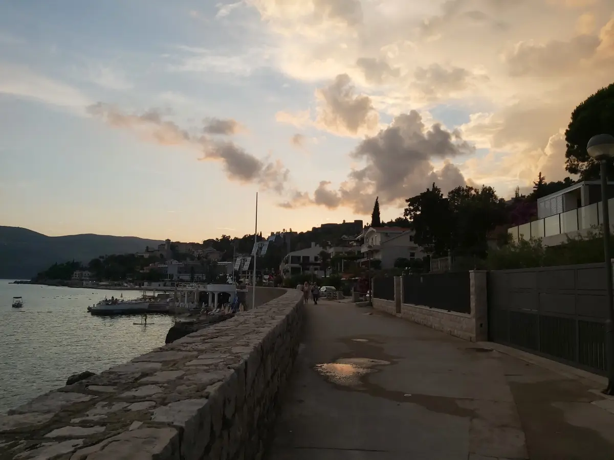
    This is the Pet Danica promenade, the backbone of Herceg Novi along the sea. The tourist board gives its length as about six kilometres, from Igalo in the west to Meljine in the east. Much of it follows the route of an old narrow-gauge railway. The line reached Zelenika in nineteen-oh-one, and trains ran from here towards Dubrovnik and Sarajevo. It closed in nineteen sixty-eight. When the rails were lifted, a level path along the sea remained, with a few short tunnels. Its name means Five Danicas. It honours five young women, all called Danica. They came from the Bay of Kotor, joined the Partisans and were killed in the Second World War. If you head west, you will reach Igalo. There stands Villa Galeb, the Seagull, built in nineteen seventy-six for Josip Broz Tito. Today it is part of the Igalo Institute. Now look up. The rock above you carries the fortress of Forte Mare. At its foot there is a spring, and above it a marble plaque with verses about the bay by the poet Aleksa Šantić. According to the tourist board, in sixteen eighty-seven the army of the Holy League drained this spring to leave the town's defenders without water.

    On to the next stop (⁨50 m⁩): Go back to the Škver, then climb the steps and the narrow lane along the walls to the entrance of Forte Mare, on the upper side of the fortress. It is about three hundred metres.

  3. Forte Mare fortress3
    Stop 31:17

    Forte Mare fortress

    In front of you is Forte Mare, Italian for the Sea Fortress. It guarded the entrance to the town from the sea. The Herceg Novi tourist board believes this was the core of the town that Tvrtko founded. The fortress was built and rebuilt from the fourteenth to the seventeenth century. The largest reconstruction was carried out by the Ottomans, when it got its present size. The Venetians restored it in the seventeenth century and gave it the name it still bears, and it owes its present look to the Austrians, who rebuilt it in eighteen thirty-three. Of the oldest period, only a short stretch of wall on the south-east side and a narrow staircase on the east side remain. On the upper side is the Sea Gate, with parts of the fortifications from the Bosnian period. Inside the walls, a passage leads from the shore to the top of the fortress. Since nineteen fifty-two there has been an open-air summer cinema here. Films have been shown under the stars for more than sixty years, and the fortress is also one of the venues of the film festival. There is an entrance fee. Inside, the stone stairs are steep. From the ramparts you can see the entrance to the bay, the town harbour and Igalo.

    On to the next stop (⁨80 m⁩): When you come out, follow the narrow lane east for about a hundred metres, to a small church with a yellow front and a viewpoint above the sea.

  4. The Citadel and the Church of Saint Leopold Mandić4
    Stop 41:05

    The Citadel and the Church of Saint Leopold Mandić

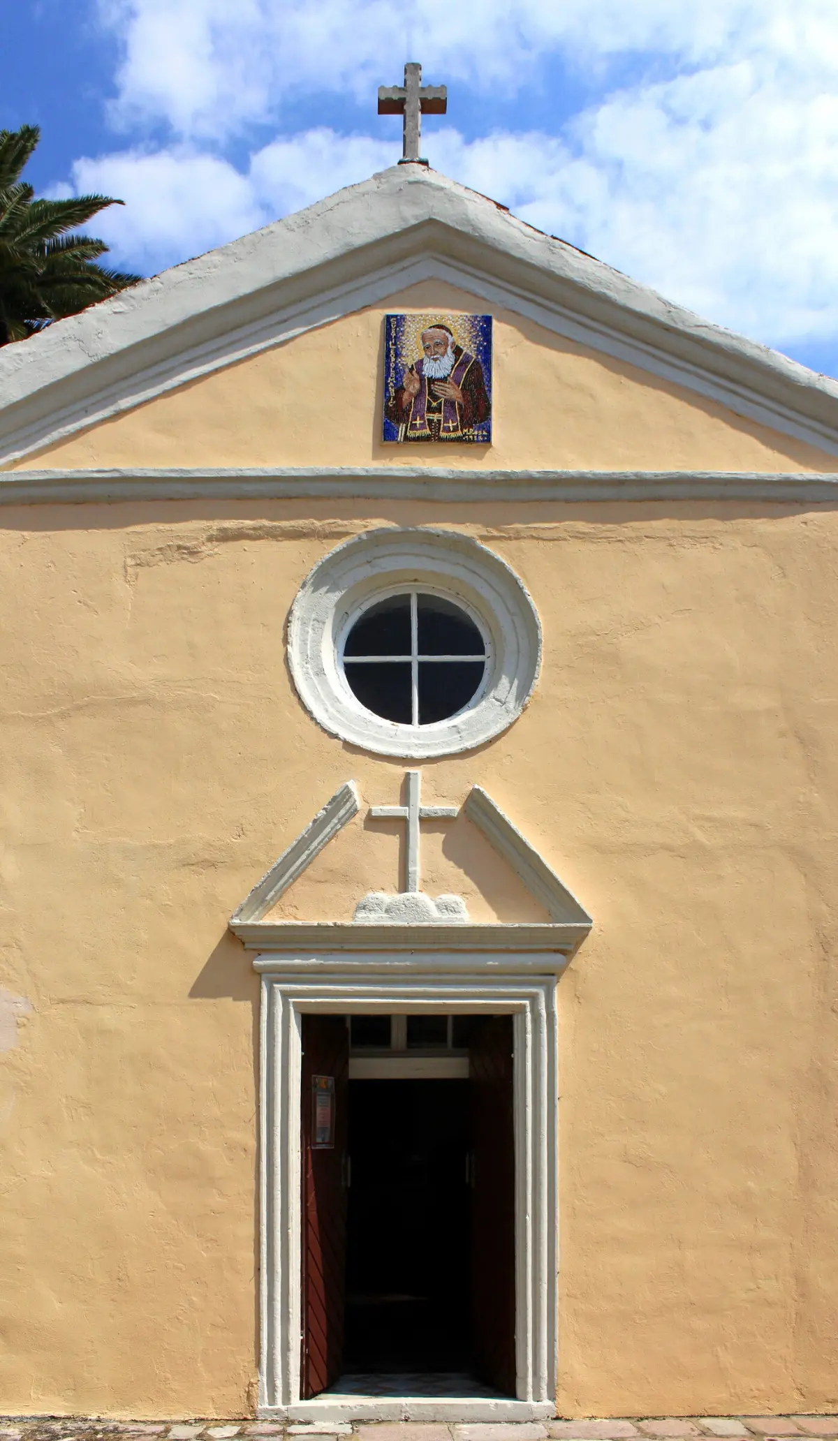
    From this viewpoint, look down towards the sea. This is where the Citadel stood, also called Mezzaluna, the half-moon. It was built right on the shore, so that its southern walls stood in the sea. In seventeen-oh-two the Venetians joined it to the upper town with a strong wall, and so enclosed the whole town in walls. The earthquake of the fifteenth of April, nineteen seventy-nine, was fatal for it. The Citadel collapsed into the sea, and its remains still lie below you. The church beside you is linked to the end of Ottoman rule. After taking the town in sixteen eighty-seven, the Venetians built a Capuchin friary here the following year, with a small church dedicated to the Blessed Virgin Mary. Later it was dedicated to Saint Francis. Since nineteen seventy-six it has borne the name of Saint Leopold Bogdan Mandić. He was born in Herceg Novi, spent most of his life as a Capuchin friar in Padua, and was declared a saint by Pope John Paul the Second in nineteen eighty-three.

    On to the next stop (⁨30 m⁩): Go up a few steps to the north, to the nearby square with a church and a tall bell tower. It is about ninety metres.

  5. Mićo Pavlović Square and the Church of Saint Jerome5
    Stop 51:15

    Mićo Pavlović Square and the Church of Saint Jerome

    This is the lower town square, Mićo Pavlović Square. On it stands the Catholic Church of Saint Jerome, the patron saint of the town. The present church was built in eighteen fifty-six. In the seventeenth century an older parish church dedicated to the same saint stood on this spot. It was pulled down in the nineteenth century, and the new one was built larger and more spacious. Inside are paintings by Tripo Kokolja from Perast, one of the most important Baroque painters of the bay. This square is a good place to remember a great siege. For about two hundred years, from fourteen eighty-two, Herceg Novi was under Ottoman rule. In September, sixteen eighty-seven, the army of the Holy League arrived at the walls, led by the Venetian commander Girolamo Cornaro. It included Venetian mercenaries, Florentines, Knights of Malta, Montenegrins, Herzegovinians and local rebels. Ottoman reinforcements were defeated nearby, and the town fell. Herceg Novi remained Venetian until seventeen ninety-seven. After that, Austrians, Russians and the French took turns, and then Austria again.

    On to the next stop (⁨130 m⁩): Walk north, uphill through narrow lanes and steps, for about a hundred and seventy metres, to a stone tower with a clock, with steps running through it.

  6. The clock tower, Sahat Kula6
    Stop 61:10

    The clock tower, Sahat Kula

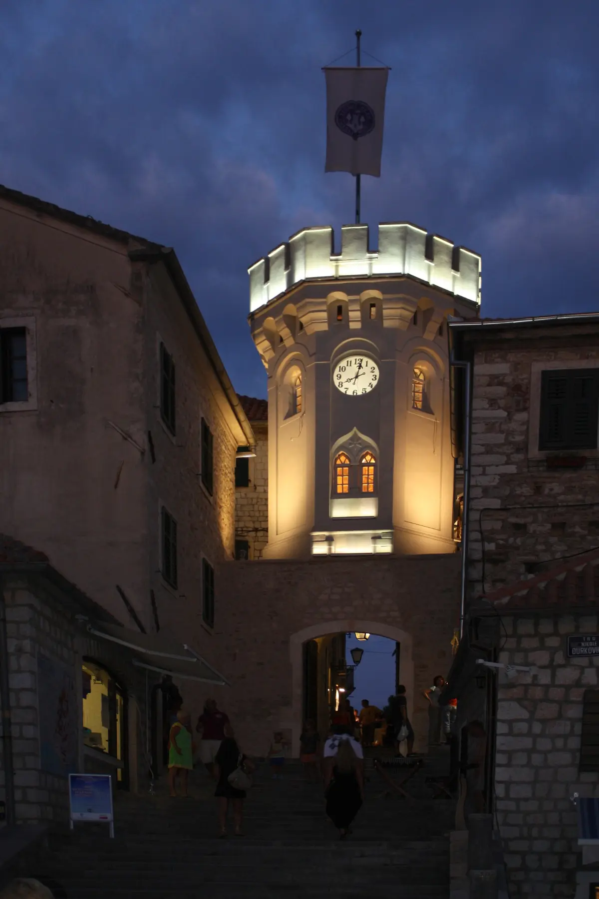
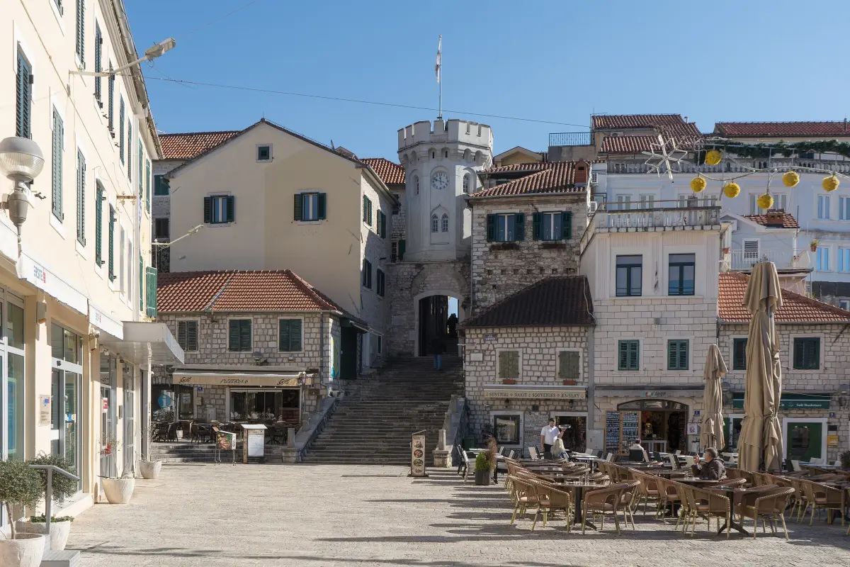
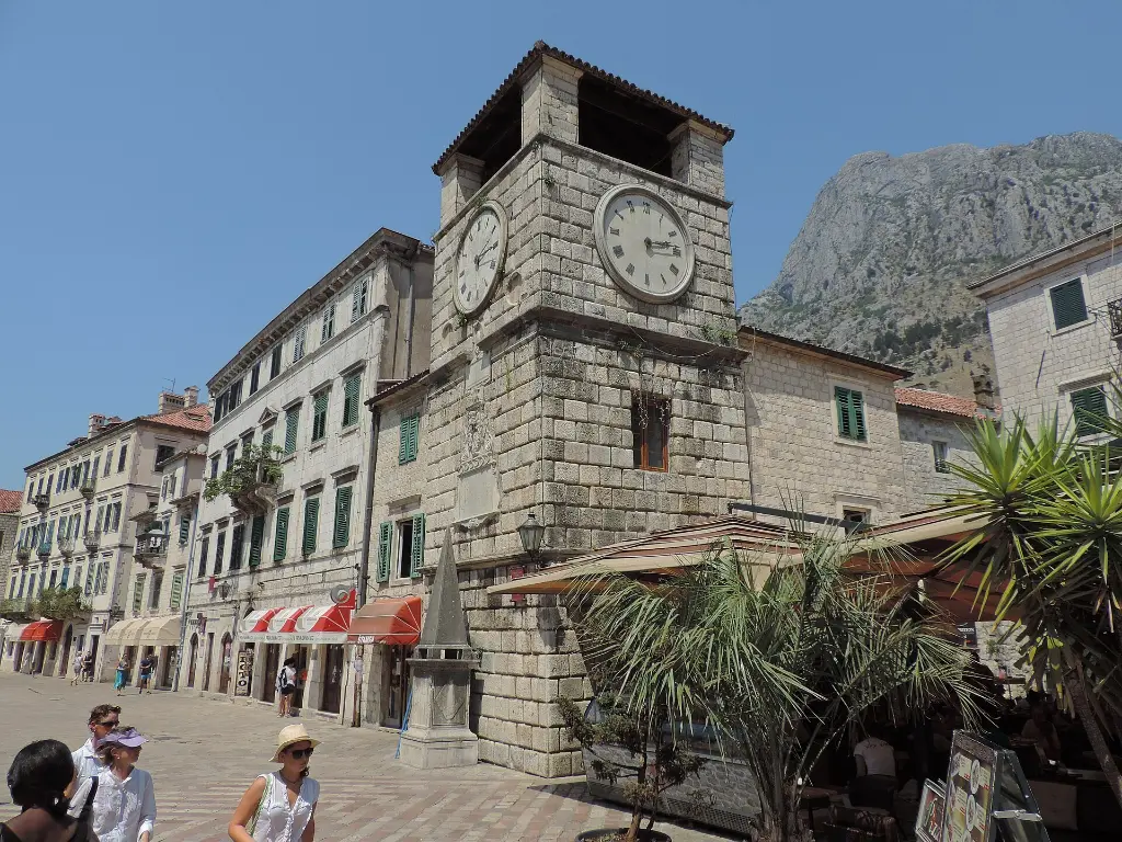
    This is Sahat Kula, the clock tower, which locals also call Tora. According to the tourist board, it was built in sixteen sixty-seven, under Ottoman rule, and it was then the main town gate. It is sixteen metres high. Today the tower is the symbol of the town and appears on its coat of arms and flag. The clock once showed the times of the daily Muslim prayers. The old town clock kept working until nineteen ninety-five, when it was replaced by an electric one, a gift from the friendship town of Zemun. In the passage through the tower stands a statue of the Virgin Mary, known as the Black Madonna. Legend says that during the fighting of sixteen eighty-seven, three men from Perast took shelter behind an olive tree. A cannonball hit the tree, they survived, and they vowed to carve a Madonna from the charred wood. During restoration in two thousand and three, experts confirmed that the statue really is made of olive wood. In the passage there is also a relief of King Tvrtko, put up in nineteen eighty-two for the town's six hundredth anniversary. The text in the old Bosnian script quotes his charter on the founding of Saint Stephen.

    On to the next stop (⁨40 m⁩): Pass through the tower and go down the steps to the square in front of it.

  7. Nikola Đurković Square and the Mimosa Festival7
    Stop 71:09

    Nikola Đurković Square and the Mimosa Festival

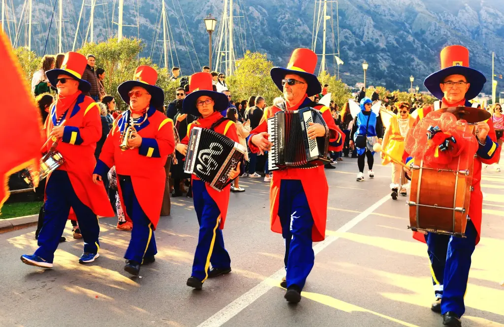
    You are on Nikola Đurković Square. Turn round and look up at the clock tower, with the steps that lead through it into the Old Town. According to the municipality, there was once a canal here. It was filled in during the nineteenth century, and the square was laid out. Today this is the town's living room, with cafés and concerts, and this is where Herceg Novi sees in the New Year. Herceg Novi is called the town of stairs, and in February the town of mimosa. When most of Europe is under snow, the mimosa blooms here, a fragrant yellow tree that covers gardens and hillsides. The Mimosa Festival has been held since nineteen sixty-nine, and it is one of the oldest tourist festivals in Montenegro. Parades with the town brass band and majorettes pass through the streets, there are masked balls and a carnival, and fish and wine are served along the seafront. If you are here in February, just follow the music. You will find the exact dates on the festival page of the Travel to Montenegro website.

    On to the next stop (⁨80 m⁩): Go back up the steps through the clock tower and out onto a wide square with palm trees and a white stone church. It is about ninety metres.

  8. Belavista and the Church of Saint Michael the Archangel8
    Stop 81:13

    Belavista and the Church of Saint Michael the Archangel

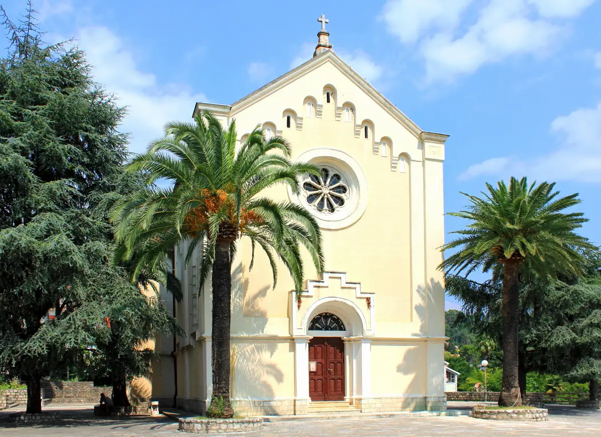
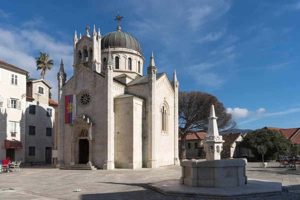
    This is Belavista, the upper town square. Its official name is Herceg Stjepan Square, but everyone calls it Belavista, the beautiful view. The square is dominated by the Orthodox Church of Saint Michael the Archangel. Building began in eighteen eighty-three. Several architects worked on the church, the final design was signed by Milan Karlovac in nineteen-oh-five, and the church was consecrated in nineteen eleven. The church is shaped like a Greek cross, with four equal arms, and it is built of finely cut stone from the island of Korčula. The space is Byzantine, and in the decoration you will recognise Romanesque, Gothic and Islamic motifs. The iconostasis is made of white Italian marble, the work of master Bilinić from Split, and the icons were painted by a Czech artist. The palm trees around the church are about a hundred years old. On Orthodox Christmas Eve, a Yule log is burned in front of the church. Behind the church, to the east, is the eastern town gate. In front of it is the old Karača fountain. According to the municipality, its name is linked to the spring that supplied the town with water for centuries.

    On to the next stop (⁨60 m⁩): From the north side of the square, take the steps uphill for about eighty metres, to the entrance of Kanli Kula fortress.

  9. Kanli Kula fortress9
    Stop 91:26

    Kanli Kula fortress

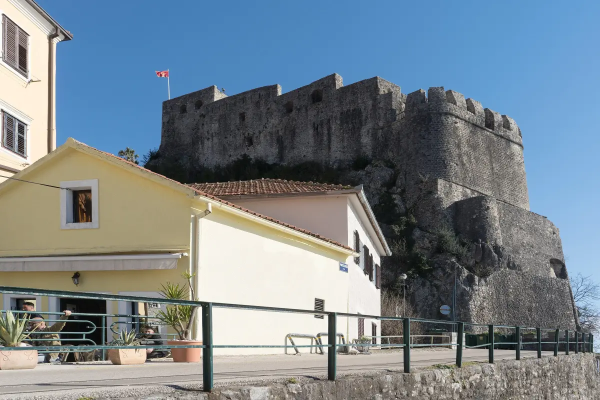
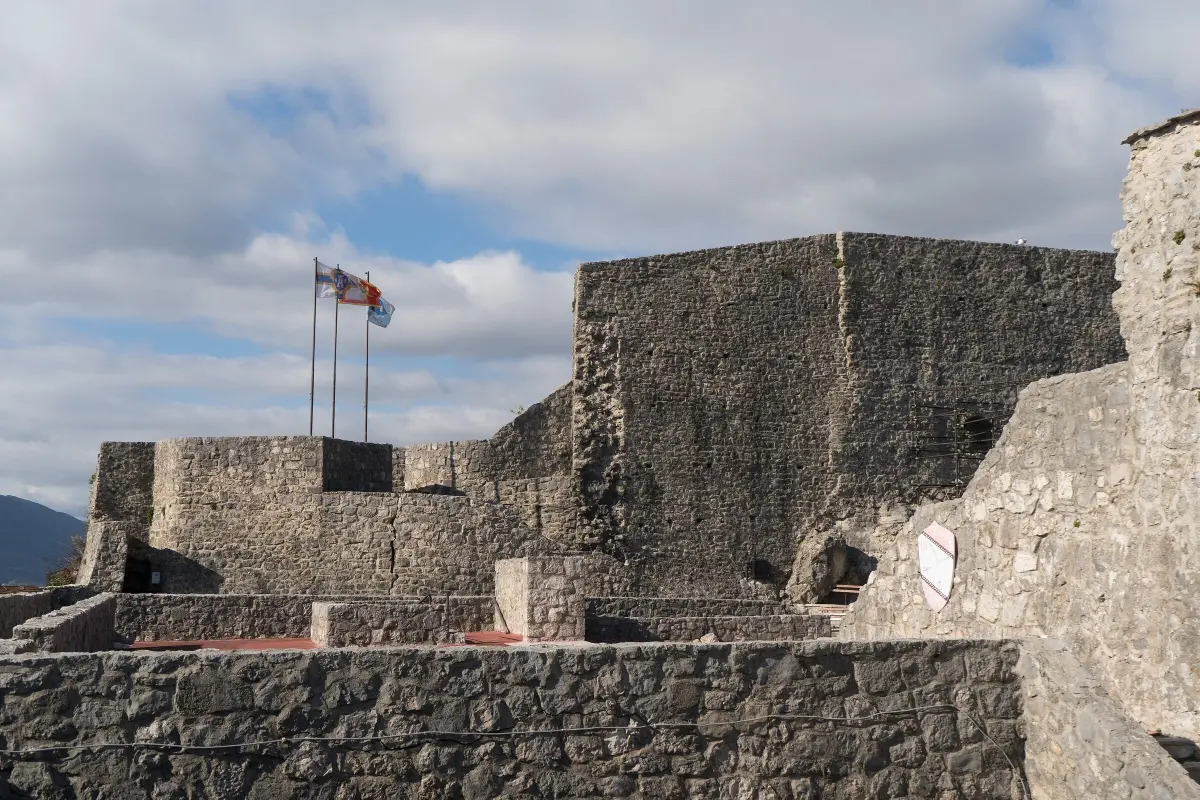
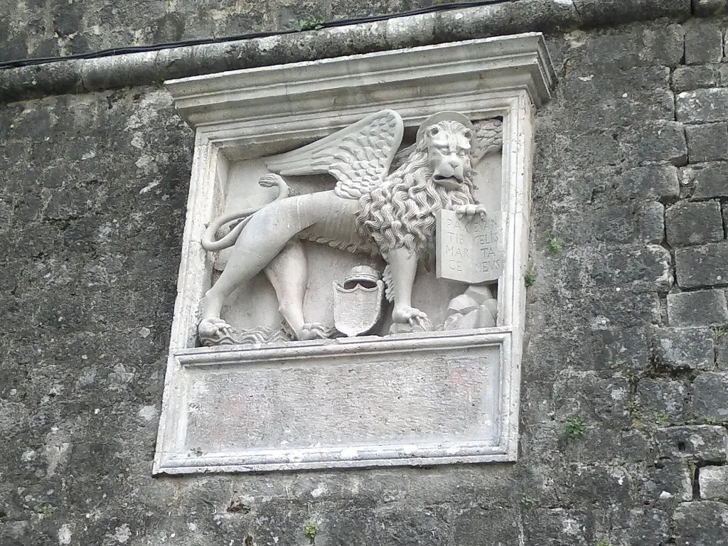
    This is Kanli Kula, Turkish for the Bloody Tower. Ottoman builders gave it its present form in the sixteenth century, at the northernmost point of the Old Town, about eighty-five metres above the sea. It is first mentioned in writing by the Ottoman traveller Evliya Çelebi, in sixteen sixty-four. It got its name from the prison, which had a terrible reputation under Ottoman rule. It was built on the foundations of an older structure bearing the inscription pro pace, for peace. Inside, a water cistern survives, which was later turned into a prison cell. Carved into the walls are drawings left by prisoners: galleys, crosses, dates and coats of arms. In the nineteen sixties the interior became an open-air summer stage with about a thousand seats, which can hold up to fifteen hundred people. After the earthquake of nineteen seventy-nine it was rebuilt again. Today it hosts the film festival, concerts and folklore evenings. There is an entrance fee. Inside there are many steps and uneven stones. From the ramparts you can see the whole Old Town, Forte Mare down by the sea and, up on the hill, Španjola fortress.

    On to the next stop (⁨560 m⁩): This is the end of the main walk. For Španjola fortress, walk uphill from the entrance of Kanli Kula, heading north-west, along Sima Matavulja and Srbina streets, then Trinaestog jula street up to the fortress. It is about a kilometre uphill, around twenty minutes.

  10. Španjola fortress10
    Stop 101:27Optional

    Španjola fortress

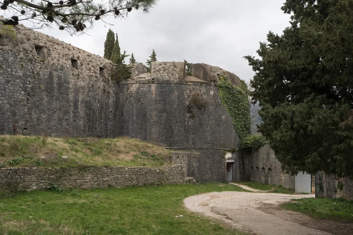
    You have reached Španjola, the fortress on Bajer hill, about a hundred and seventy metres above the sea. Old documents call it the Upper Town, and the name it bears today, the Spanish one, was given by the locals. In June, fifteen thirty-eight, the fleet of Admiral Andrea Doria took the town, and the Spaniards began building a fortress here. They ruled for only a year. In fifteen thirty-nine the Ottoman admiral Hayreddin Barbarossa won the town back after a hard siege. The Ottomans rebuilt the fortress between fifteen thirty-nine and fifteen forty-eight. An inscription over the entrance named the builder and ended with the words: oh, how lovely you are, wonderful building. The fortress has four round bastions at its corners. On the west side are remains of Ottoman building and parts of a mosque. The Venetians added a large semicircular wall and an inner courtyard, and the Austrians built new structures next to the fortress. During the Second World War it was used as a prison. Entry is free, but there are no paths laid out inside, and the ground is uneven. The view takes in the whole town, Kanli Kula, Forte Mare and the entrance to the bay.

    On to the next stop (⁨1.7 km⁩): The easiest way to Savina Monastery is to go back into town, down to the Pet Danica promenade, and follow it east towards Meljine. From Španjola it is about two and a half kilometres, from Kanli Kula about two, roughly half an hour on foot.

  11. Savina Monastery11
    Stop 111:11Optional

    Savina Monastery

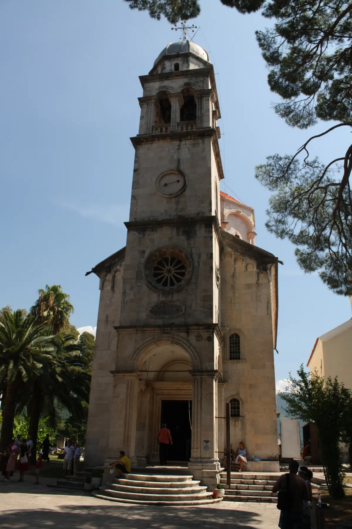
    Welcome to Savina Monastery, about two kilometres east of the Old Town. This Orthodox monastery has three churches, surrounded by cypresses and a stone pine more than two hundred years old. The small Church of the Dormition is the oldest. An inscription from eighteen thirty-one gives ten thirty as the year it was built, but experts date it by its style to the time of the Kosača family. Inside, the oldest frescoes in the area were discovered, from the middle of the fifteenth century, attributed to the Kotor painter Lovro Dobričević. The large Church of the Dormition was built from seventeen seventy-seven to seventeen ninety-nine by master builder Nikola Foretić from Korčula. Its iconostasis was made in seventeen ninety-five by Simeon Lazović and his son Aleksije. On the hill above stands the small Church of Saint Sava, which tradition dates to the thirteenth century. The monastery is named after it. The treasury keeps the crystal cross of Saint Sava from the thirteenth century and the icon of the Virgin of Savina, which the faithful consider miraculous. This is a living community. Shoulders and knees should be covered, and please speak quietly in the church.

At the end

Farewell

This is where our walk through Herceg Novi ends. You have followed the town from King Tvrtko's harbour, past Venetian churches and the Ottoman clock tower, up to Kanli Kula. To get back to the Škver and the sea, take the same stairs down, about four hundred metres. If you still have the energy, the climb to Španjola takes about twenty minutes, and Savina Monastery is about half an hour's walk away, mostly along the sea. Herceg Novi is a town of festivals. In February there is the Mimosa Festival, and in summer there are films and concerts at Kanli Kula and Forte Mare. You will find dates, and more about the fortresses, Savina and the beaches of the Herceg Novi riviera, on the Travel to Montenegro website. Thank you for walking with us.

Good to know

Before you set off

Every word as text

The full narration of each stop is on this page and in the player, with the spoken sentence highlighted – for noisy streets and for deaf and hard-of-hearing visitors.

Works with the screen locked

Once you have pressed play, the narration keeps going with the screen off; use the lock-screen or headphone buttons for pause and next.

Your location stays on your phone

Location mode is optional and works only while this page is on screen. We never receive or store where you are.

Works offline

Download the tour before you go and it plays without mobile data.

Practical notes

Start: the Škver, the town harbour, by the monument to King Tvrtko I. Length: about 1 km from the Škver to Kanli Kula (9 stops), about 1.4 km back to the Škver; 60–75 min with listening, without going into the fortresses. Allow about two hours if you visit Forte Mare and Kanli Kula. Extension 1 – Španjola: about 1 km uphill from Kanli Kula (from about 85 to about 170 m above sea level), 20–25 min each way. Extension 2 – Savina Monastery: about 1.8 km east of Kanli Kula, 25–30 min each way, mostly along the Pet Danica promenade. Best time: early morning or late afternoon; in summer avoid midday, the stairs are in full sun. The Mimosa Festival is in February. Accessibility: - The Old Town is a town of stairs: between the Škver and Kanli Kula you climb about 80 m, mostly on steps. - The tour is not suitable for wheelchairs or pushchairs. The Pet Danica promenade (stops 1 and 2) is flat and accessible. - Stone steps and paving are smooth, especially when wet. - Forte Mare and Kanli Kula have steep stairs and uneven ground inside. - Španjola is a steep climb, with no paths laid out inside. Tickets: Forte Mare and Kanli Kula charge an entrance fee; check prices and hours at the ticket desk or on hercegnovi.travel. Španjola is free. Savina has no ticket; shoulders and knees should be covered. Parking: paid parking in the town centre and by the Škver; spaces are scarce in summer, so it is easier to come on foot or by bus.

Audio guides

More audio guides

Narration: AI-generated voice from our editors' scripts · Map © OpenStreetMap contributors, OpenFreeMap. Map data and sources →

Zora

Your Montenegro travel guide

Hi, I'm Zora

Ask me about places, beaches, food, events or a trip plan — in any language.