Travel to Montenegro
Durmitor Ring: a self-guided audio drive around Durmitor
Free audio guide

Durmitor RingA self-guided audio drive around Durmitor

Free audio drive from Žabljak over Štuoc, through the Sušica canyon and across the Piva plateau to the Sedlo pass, no app needed

  • Free · no app needed
  • 3 languagesME · EN · ES
  • Moderate
by car
240 min
route
⁨80 km⁩
stops
13
of audio
21 min
Overview

An audio guide for the Durmitor Ring, the panoramic road around the Durmitor massif. Thirteen stops from Žabljak over the pass below Štuoc, through the Sušica canyon, Nedajno, Trsa and Pišče to Todorov Do, Dobri Do and the Sedlo pass. About eighty kilometres of narrow mountain road, half a day with stops. Directions are for the anticlockwise direction recommended by the official map, with tips for driving it the other way round.

How it works

  1. Download, then press start

    Save the tour over Wi-Fi before you set off – mountain roads lose signal. Choose “Driving” and connect the phone to the car or use headphones.

  2. Drive at your own pace

    Each stop starts by itself as you approach it. If one is still playing, the next waits until it ends – nothing is cut off.

  3. Hands on the wheel

    Big buttons, the screen stays on, and the steering-wheel or headphone buttons play, pause and skip.

Route

The drive on the map

The tour starts at Žabljak, town centre. Tap a number to play that stop.

Stop by stop

13 stops on the way

Listen, or read the full narration of every stop below.

Before you start

Welcome

Welcome to the Durmitor Ring, the panoramic road around the Durmitor massif. Officially it is seventy-six kilometres long; from the centre of Žabljak and back we measured about eighty. The driving alone takes two to three hours, and with stops you should allow half a day. This guide follows the anticlockwise direction recommended by the official route map: first Štuoc and the Sušica canyon, then Trsa and Pišče, and finally the Sedlo pass. If you drive the other way, play the stops from the last to the first and skip the directions at the end of each one. A few important things before you set off. There is no petrol station on the ring, so fill up in Žabljak. In places there is no mobile signal, so download the tour while you are still online. The road is narrow and winding, with steep climbs and descents, and sheep and cows often stand on it. Stop only in lay-bys, car parks and viewpoints, never on the road itself. The national park ticket is paid to the rangers at the car parks. Have a good drive.
  1. Žabljak town centre1
    Stop 11:37

    Žabljak: the start of the ring

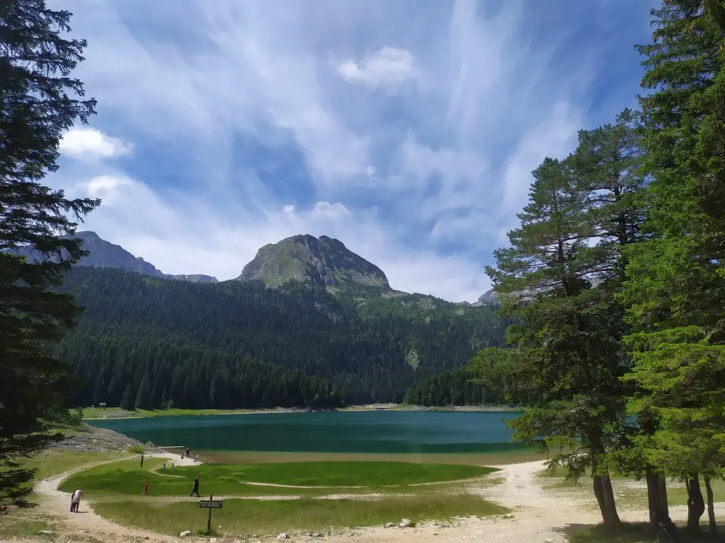
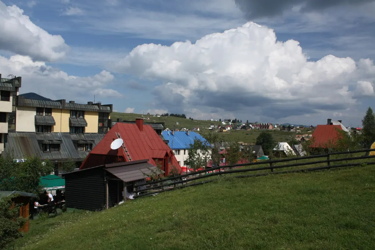
    You are in the centre of Žabljak, at one thousand four hundred and fifty-six metres above sea level. The official route map describes it as the highest town in south-eastern Europe. Local tradition links the name to the word žaba, meaning frog, and it has been in use since eighteen seventy. That is when the Church of the Transfiguration and a school were built. The Durmitor area became part of Montenegro in eighteen seventy-eight. During the Second World War Žabljak was almost completely destroyed, and it was rebuilt afterwards as a centre for summer and winter tourism. Today a little under two thousand people live in the town itself, and about three and a half thousand in the whole municipality. In winter people ski on Savin Kuk, and Javorovača, close to the centre, is the slope for beginners and families. Before you set off, two things. First, fuel. There is no petrol station on the ring itself; the nearest are in Žabljak, Šavnik and Plužine. Second, the Black Lake, Crno jezero. It is about half an hour on foot from the centre, and the path around the lake is about three and a half kilometres long. If you are not in a hurry, keep it for the end of the day. The mountain you are about to circle has been protected as Durmitor National Park since nineteen fifty-two, and it has been on the UNESCO World Heritage List since nineteen eighty. It has forty-eight peaks higher than two thousand metres and eighteen glacial lakes, which people here call the mountain eyes.

    On to the next stop (⁨2.8 km⁩): Follow the brown Panoramic roads signs with the number two, towards Bosača and Štuoc. The next stop is about four kilometres away.

  2. Durmitor peaks above the forest, seen from the slopes above Bosača2
    Stop 21:39

    Bosača, the Ćurevac turn-off and the climb to Štuoc

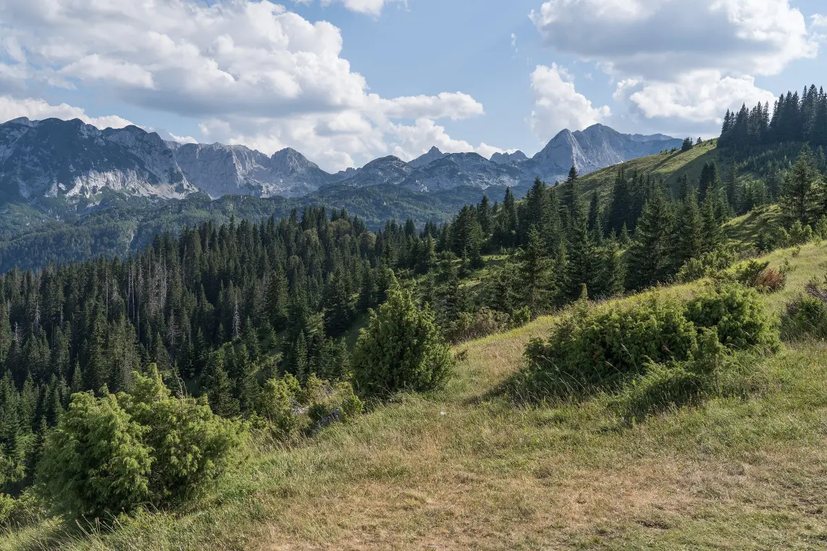
    You are approaching Bosača, a small village at about one thousand six hundred metres on the slopes of Štuoc. The official map says that only about ten people live here, but also that the first ski lift in the region was built here. The village was once a winter sports centre, with ski races. From Bosača a short footpath of about nine hundred metres leads from the car park to the Black Lake, so this is one of the entrances to the park too. A little further on there is a junction. To the right, a paved road of about three kilometres runs towards Tepca and Nadgora, to the car park for the Ćurevac viewpoint. There are national park toll barriers there. From the car park a stony path of about one kilometre, narrow in places, leads to the viewpoint; plan an hour for it. From Ćurevac, at one thousand six hundred and twenty-five metres, you look down into the Tara canyon. The path is slippery in the rain. You come back to the ring the same way. The ring continues to the left and starts a serious climb through conifer forest. The tarmac is narrow and the bends are sharp. Drive slowly and be ready to pass oncoming cars, sometimes by reversing to a wider spot. On the climb, on the right, is the traditional restaurant Momčilov Grad, with the top station of a ski lift next to it. From its car park the view opens onto the Durmitor peaks and the reddish slopes of Crvena Greda, two thousand one hundred and sixty-four metres high. Below it lies Jablan Lake, but the forest hides it from the road.

    On to the next stop (⁨3.2 km⁩): Keep climbing for about six more kilometres, to the pass below Štuoc.

  3. The Tara canyon seen from near Ćurevac3
    Stop 31:38

    The pass below Štuoc and the view into the Tara canyon

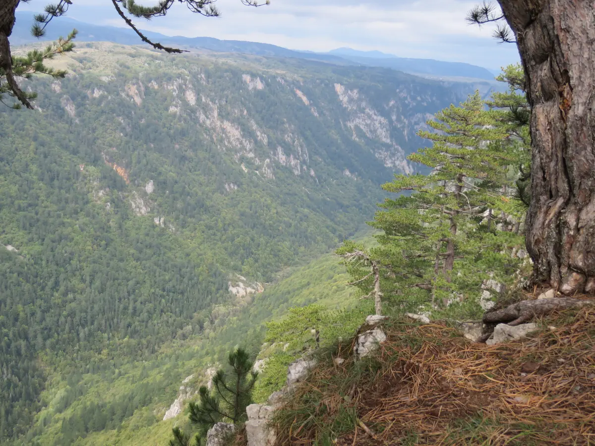
    You are approaching the pass between Veliki and Mali Štuoc, at one thousand nine hundred and fifty-two metres. This is the highest point of the Durmitor Ring, higher even than the Sedlo pass that waits for you at the end. It is also called the gateway to Mala Crna Gora. Around the pass the road runs right along the rim of the Tara canyon, and there are marked viewpoints by the road. If there is space, stop there, never on the carriageway. The Tara canyon is seventy-eight kilometres long, and the difference between the rim and the riverbed reaches one thousand three hundred metres. Official sources describe it as the deepest canyon in Europe. At about one hundred and forty-five kilometres, the Tara is the longest river in Montenegro. Since nineteen seventy-seven the canyon has been part of UNESCO's Man and the Biosphere programme, and the first canoe descent from the source to the mouth of the Piva was made in nineteen thirty-two. Today rafting on the Tara is one of the most popular activities in the country. In the Crna Poda reserve, on the canyon rim, black pines grow up to fifty metres tall and more than four hundred years old, and one hundred and thirty bird species live in the cliffs and forests along the river. Beyond the pass begins a steep descent through the forest, up to eleven per cent in places. Use a lower gear and spare your brakes. Before you enter the forest, the view opens to the west: first onto the rolling Piva plateau, and in the distance, on the border with Bosnia and Herzegovina, onto the sharp peaks of Bioč, Maglić and Volujak.

    On to the next stop (⁨4.1 km⁩): Descend through the forest for about seven kilometres, to the junction near the village of Mala Crna Gora.

  4. The Sušica canyon from the rim near Mala Crna Gora4
    Stop 41:30

    Mala Crna Gora and the rim of the Sušica canyon

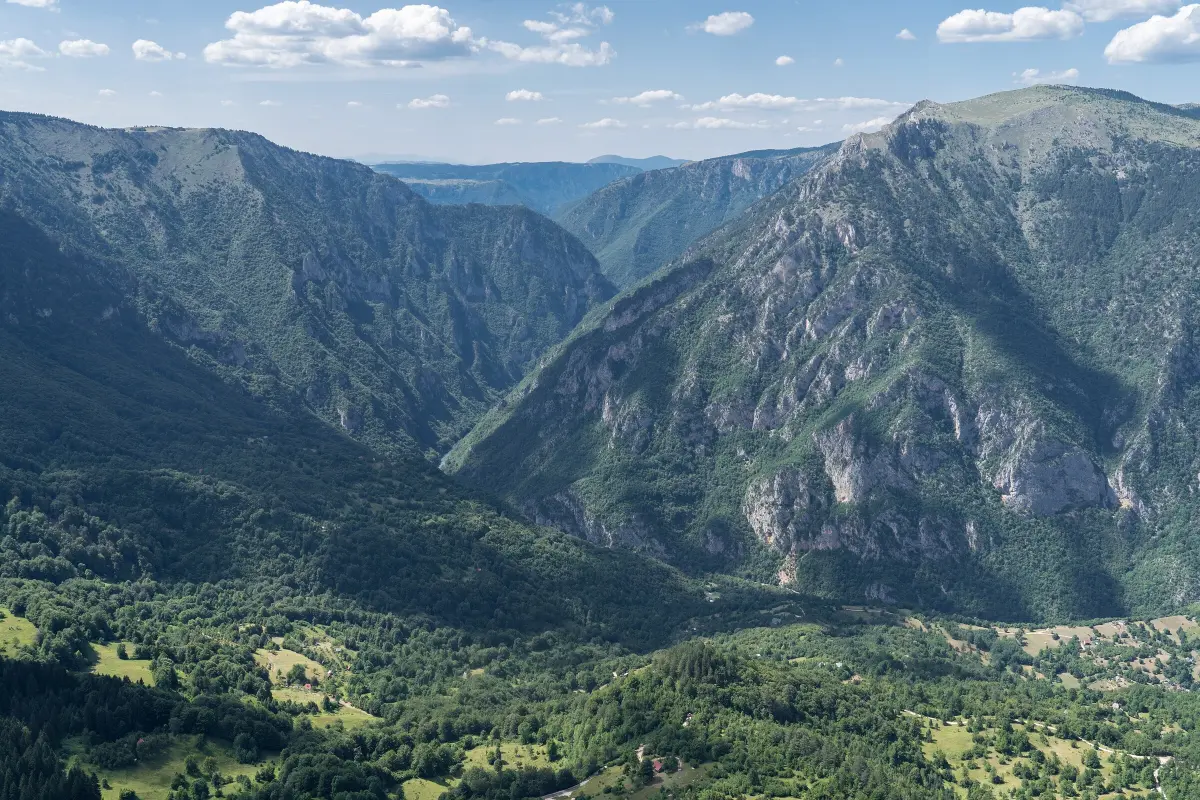
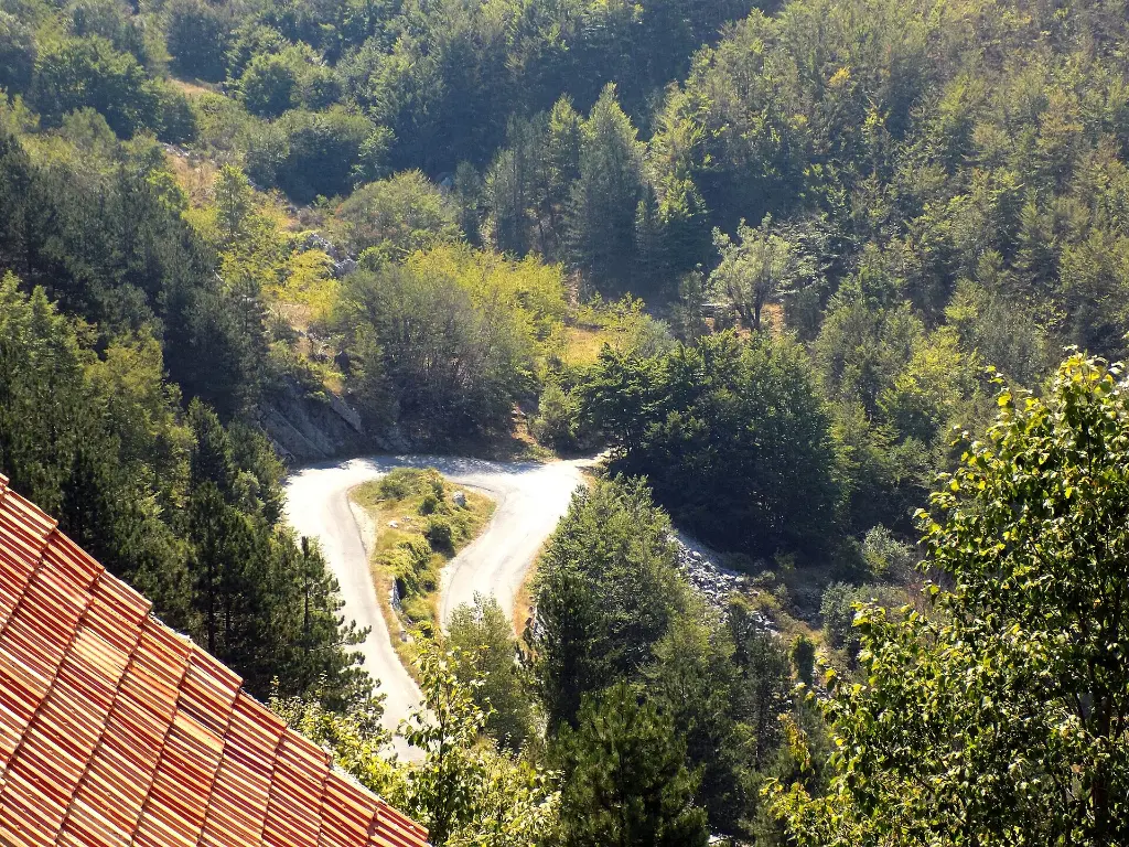
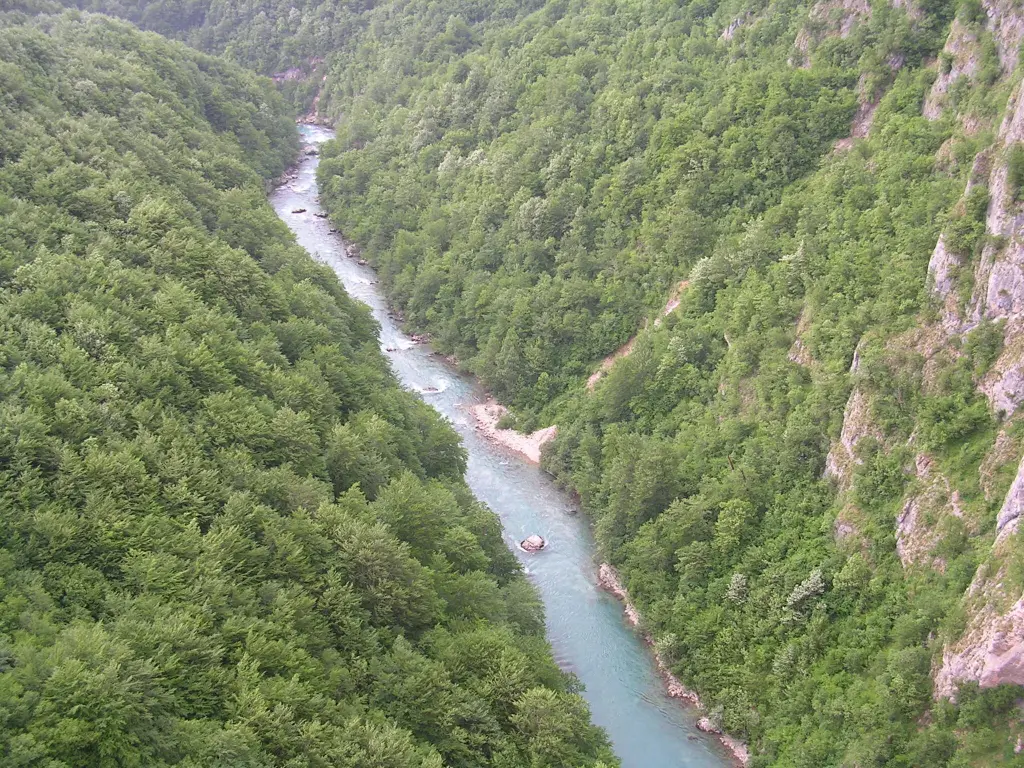
    Ahead of you is the junction for the village of Mala Crna Gora, which means Little Black Mountain. It sits right on the rim of the Sušica canyon. The name has nothing to do with the name of the country. It dates from the time of Ottoman rule, and it was made official only in nineteen fifty, when the village became part of the Žabljak municipality and the word Mala, little, was added. In winter the roads to the village are impassable and people are cut off for months. Two metres of snow can fall, and the wind piles drifts up to ten metres high. The official map says that fourteen people live here all year round, entirely from livestock. The Church of the Holy Saviour by the village cemetery dates from eighteen eighty-nine. People in Žabljak say that teachers once crossed Štuoc on skis in winter to teach at the village school. At the junction the ring turns left and follows the rim of the Sušica canyon. The canyon is about fifteen kilometres long and up to seven hundred metres deep. You can stop at the viewpoint by the road. The sides are very steep and the edge has no railing, so hold children by the hand and keep away from the edge. Then the road winds down in hairpins to the bottom of the canyon. This is one of the narrowest parts of the ring and a rockfall zone. Stones are often lying on the road, especially after rain. Drive slowly in a low gear, and expect a vehicle around every bend.

    On to the next stop (⁨3 km⁩): At the junction turn left and follow the hairpins down for about five kilometres, to the bottom of the canyon.

  5. Lake Sušica below the steep sides of the Sušica canyon5
    Stop 51:26

    The canyon floor: Lake Sušica

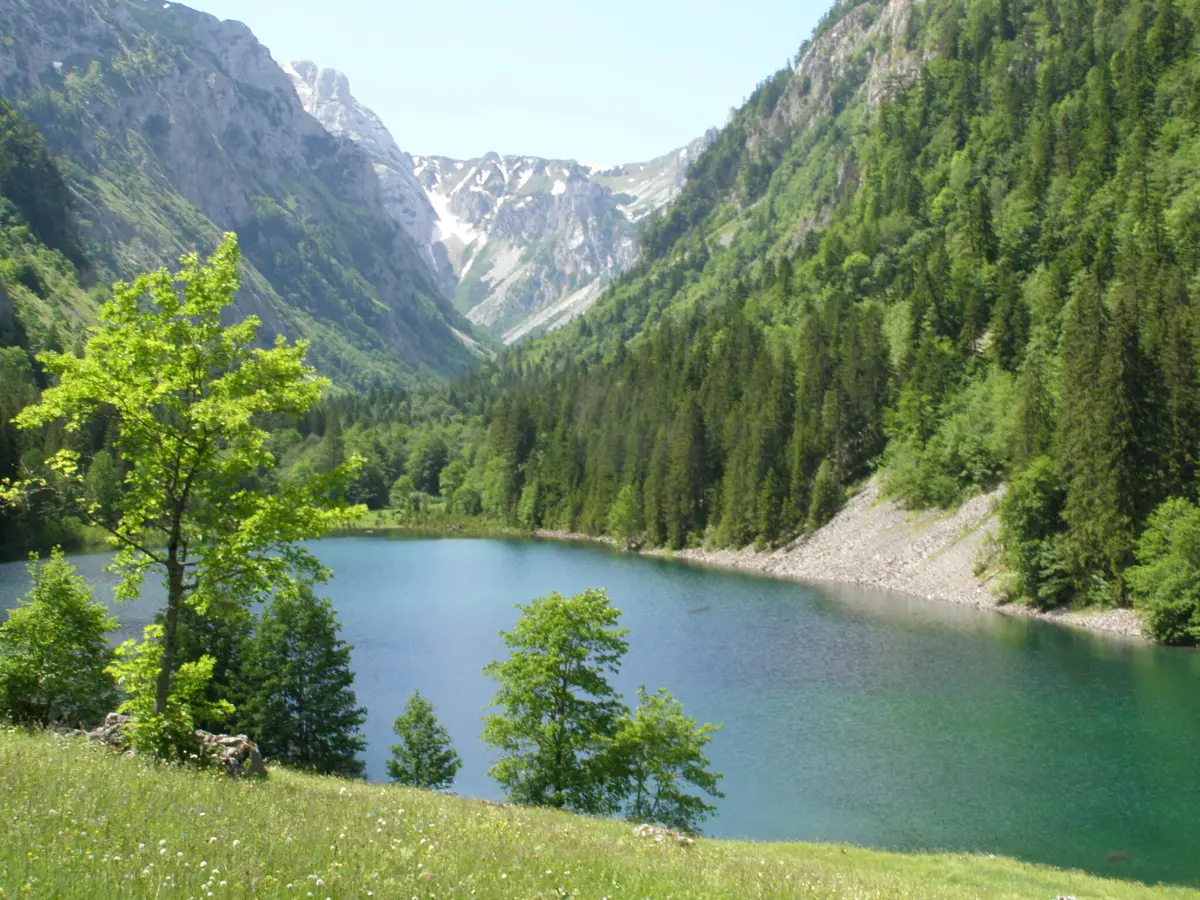
    At the bottom of the canyon the road passes Lake Sušica, Sušičko jezero. This is the lowest part of the ring. Every summer the lake dries up completely, usually in July and August, and in spring and autumn it fills up again. So you may find calm water under the steep canyon walls, or a green meadow without a drop of water in it. A little further on is the Sušica mountain hut, which belongs to the national park. Do not count on it being open, and bring your own water and food. Hiking trails lead from the canyon towards the Škrka lakes and Prutaš. These are full-day mountain hikes, not short walks. Together with the canyons of the Tara and the Draga, the Sušica canyon is part of Durmitor National Park. Deep in the canyon the mobile signal may be weak or missing, so do not rely on online navigation here. If you want to walk to the lake, park only where your car does not block the road, because the road is narrow down in the valley too. After the lake the road climbs the other side of the canyon, towards Nedajno. The climb is long and steep in places, with blind bends. Where the road is too narrow for two vehicles, one has to stop, so pick a passing place in good time. The official map does not recommend the ring for campervans longer than seven metres, wider than two metres thirty or higher than two metres ninety.

    On to the next stop (⁨2.1 km⁩): Keep climbing out of the canyon for about seven kilometres, to the viewpoint near Nedajno.

  6. The village of Nedajno on the Piva plateau6
    Stop 61:26

    Nedajno: looking back into the canyon

    You have climbed out of the canyon onto the Piva plateau, Pivska planina. Near the village of Nedajno is the Ivovac viewpoint, at about one thousand five hundred metres, with room to pull in. From here you look back into the Sušica canyon you have just driven through, and across to the opposite rim where your descent began. Everything you see between Durmitor and the mountains of Bioč, Maglić and Volujak to the west is the Piva plateau: rolling high country of meadows, rock and forest, cut by deep canyons. A long hiking trail also starts in Nedajno and runs over Škrka to Šarban, a full day on foot. The official map says that about ten people live in Nedajno today. You can take a break and get refreshments here, and above the village stands the Church of Saint John, built in nineteen twenty-seven. From here to Sedlo the road runs through forest and then across unfenced pasture. On the Piva plateau people have always lived from livestock. In summer the herds are up at the katuni, the seasonal shepherds' settlements, and sheep, cows and horses often stand on the road itself. Slow down in good time, wait for them to move, and do not sound your horn close to them. It is also good to know that the mobile signal comes and goes here. If you need help, the emergency number is one one two. Call it from the first place where you have signal, and say how far you are from the nearest village.

    On to the next stop (⁨3.8 km⁩): Continue through the Milogora forest for about eight kilometres, to Trsa.

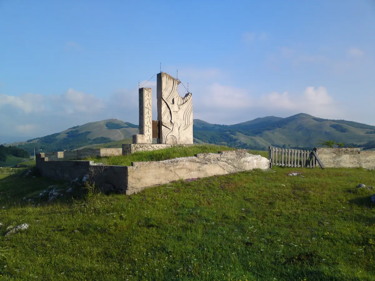
  7. The memorial in Trsa on the Piva plateau7
    Stop 71:26

    Milogora and Trsa: halfway round

    You are driving through Milogora, the dense forest between Nedajno and Trsa. Just before the village, by the road, is the Church of Saint George. Trsa is a small village halfway round the ring: about thirty-nine kilometres lie behind you and about forty more to Žabljak. The official map recommends it for a break and a meal, and if you are not doing the ring in one day, you can also stay the night here. From Trsa people go hiking, mountain biking and horse riding. In Trsa you join the regional road. To the right it descends to Plužine and Lake Piva, about fourteen kilometres away. There are viewpoints over the lake along that road, and a petrol station in Plužine. Allow at least an hour there and back. The next stop in this guide is one of those viewpoints, and it is optional. The ring continues to the left, towards Pišče and Žabljak. Plužine is a small town on the shore of Lake Piva, at six hundred and seventy-five metres. About seven kilometres from the town is the sixteenth-century Piva Monastery. The mountains to the west belong to Piva Nature Park. It was founded in two thousand fifteen as the first nature park in Montenegro, and it covers three hundred and twenty-five square kilometres. Bears, wild boar, roe deer and grouse live in its forests.

    On to the next stop (⁨7.1 km⁩): For the ring, turn left towards Pišče and Žabljak and skip the next stop. For the viewpoint over Lake Piva, turn right and drive for about eight kilometres.

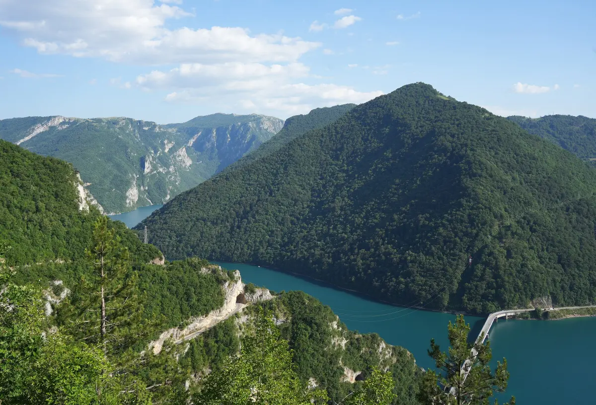
  8. Lake Piva in the Piva canyon8
    Stop 81:25Optional

    Optional: the viewpoint over Lake Piva

    This is a side trip off the ring, on the road from Trsa down to Plužine. By the road there is a viewpoint over Lake Piva; stop only in the lay-by. The lake is man-made. It was created in nineteen seventy-five, when the Mratinje dam, two hundred and twenty metres high, closed the Piva canyon. It is about forty-five kilometres long and up to one hundred and eighty-eight metres deep. The old settlement of Plužine lies under the water. The sixteenth-century Piva Monastery was taken apart and moved, stone by stone, to a new site above the lake. The mountains across the water are part of Piva Nature Park. The highest peaks are Bioč, at two thousand three hundred and ninety-seven metres, Maglić, at two thousand three hundred and eighty-six, and Volujak, at two thousand three hundred and thirty-six metres. If you go on to Plužine, down there you will find fuel, shops and the road through the Piva canyon towards the Mratinje dam. That road was cut in the nineteen seventies for the hydroelectric plant. In twenty-six kilometres it has fifty-seven short tunnels, mostly unlit, so drive through them slowly with your lights on. At Šćepan Polje, on the border with Bosnia and Herzegovina, the Piva meets the Tara and together they form the Drina. If you are heading back to the ring, turn your car only in a lay-by where you can see the road well in both directions.

    On to the next stop (⁨4.4 km⁩): Go back the same way to Trsa, about eight kilometres, and carry straight on towards Pišče and Žabljak.

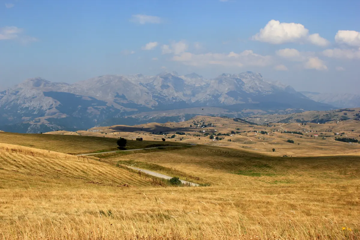
  9. The Piva plateau near Pišče, with the mountains towards Maglić in the distance9
    Stop 91:30

    Pišče and the open Piva plateau

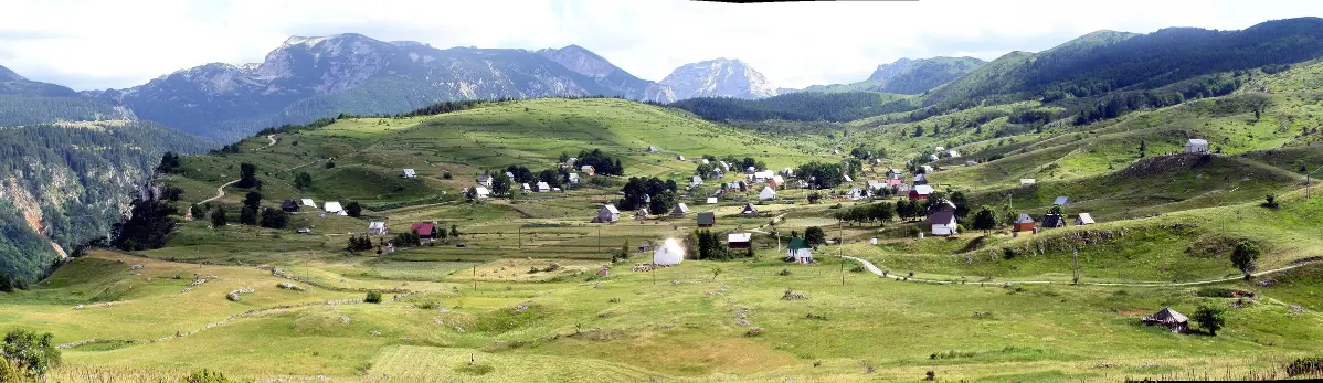
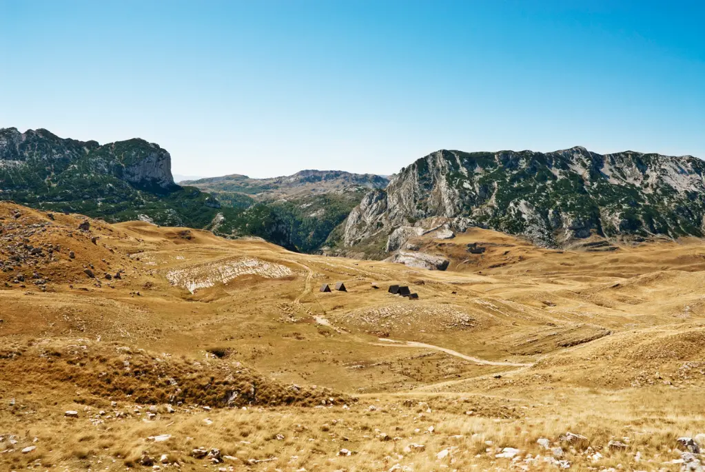
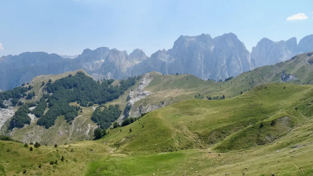
    You come out of the forest onto the open plateau of Pišče. The view here reaches all the way to the horizon, and to the north-west, beyond the Piva plateau, stand Bioč and Maglić. According to the official map, about twenty people live in Pišče. By the road is the Church of Saint John, built during the reign of King Nikola. In summer the pastures, full of medicinal herbs and flowers, turn into what people here call a sea of flowers. The people of this area have always kept sheep, and the Piva plateau is known for its sheep's cheese and kajmak, a rich clotted cream. In summer people and flocks stay at the katuni, in huts scattered across the pastures. The whole Durmitor area is a broad plateau at about one thousand five hundred metres. Deep canyons cut through it, and the peaks rise out of it. That is exactly why the ring is the way it is: long, quiet stretches over pasture, then sudden descents into canyons and climbs up to passes. From here the road slowly turns east, back towards Durmitor, and starts to climb. The bends are gentler than in the canyon, but the road is still narrow. Watch out for livestock and for cars coming from Sedlo, because many drivers do the ring in the opposite direction. The plateau is open, with no shelter. If a thunderstorm or fog is coming, do not stay outside your car. If you need a break, pick a lay-by on a level stretch, where other drivers can see you in time.

    On to the next stop (⁨5.7 km⁩): Continue east for about ten kilometres, to Todorov Do.

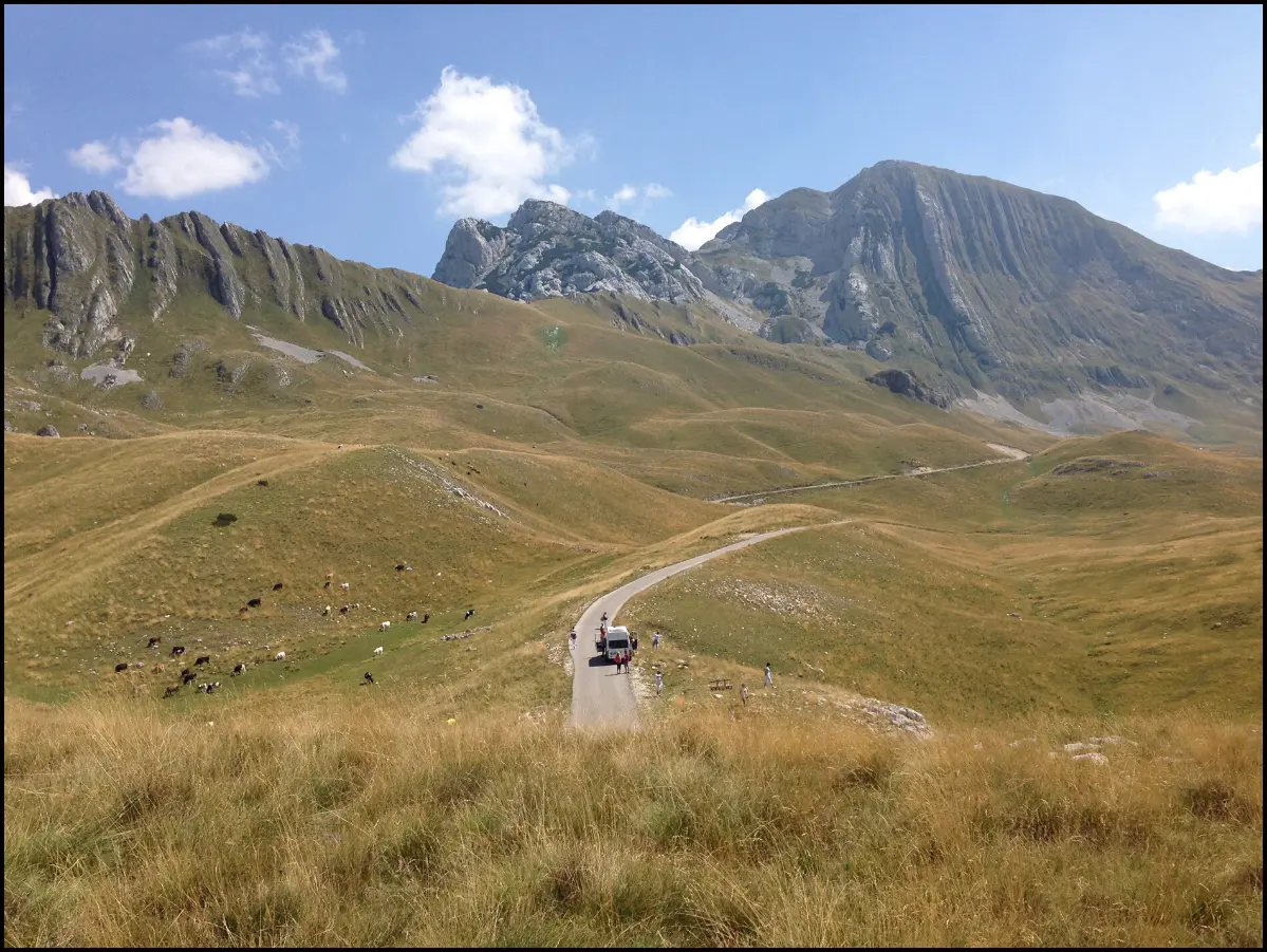
  10. The road through Todorov Do towards Prutaš10
    Stop 101:27

    Pirni Do, Todorov Do and Prutaš

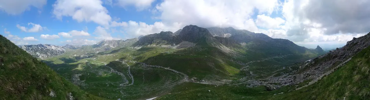
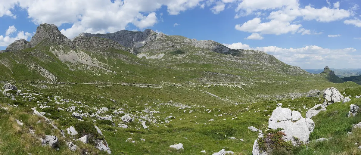
    As the road climbs, a view opens on the right onto Pirni Do, where the landscape turns into a sea of stone. Then you reach Todorov Do, at about one thousand eight hundred metres. At the head of the valley rises Prutaš, two thousand three hundred and ninety-three metres high. Its sides are striped with upright layers of rock, like rods, which in the local language are called prutovi. Those layers were once the floor of a Jurassic sea. When two tectonic plates collided, the sea floor was pushed up into the Dinaric mountains, and that is why the layers are so clear here. The limestone beneath you is full of hollows. More than three hundred pits and caves have been recorded on Durmitor, and the pit on Vjetrena Brda, eight hundred and ninety-seven metres deep, is considered the deepest in the Balkans. Seven hundred and forty-eight springs have also been recorded on the mountain. In Todorov Do there is a car park where national park rangers collect the entrance fee. From there a hiking trail leads up Prutaš, about one point seven kilometres long, with more than five hundred metres of ascent. It is short but steep, and you need good shoes, water and fair weather. From Todorov Do to Sedlo you drive through the highest valley on this part of the ring. Mountain weather is not like the weather in the rest of the country and it changes fast, so keep a warm jacket in the car even in summer.

    On to the next stop (⁨4.9 km⁩): Continue towards Sedlo, about ten kilometres. The road goes through Dobri Do.

  11. The Dobri Do valley below Sedlo11
    Stop 111:27

    Dobri Do and Sedlena Greda

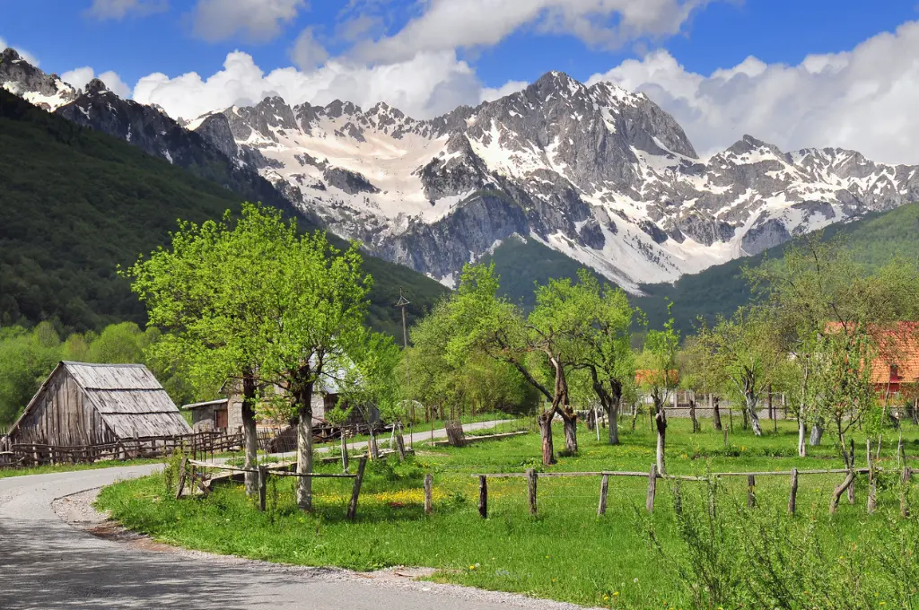
    You are entering Dobri Do, a wide valley below the southern cliffs of Durmitor. Ahead of you, Sedlena Greda dominates the skyline, two thousand two hundred and twenty-seven metres high. Because of its shape it is also called the Saddle of the Gods. To the north rises the main ridge of the massif. Its highest summit, and the highest point of Durmitor, is Bobotov Kuk, at two thousand five hundred and twenty-three metres. In one of the cirques of the massif, Velika Kalica, lies a small glacier called Debeli Namet, one of the southernmost in Europe. You cannot see it from the road, but it explains why these valleys are so wide and rounded: they were shaped by ice. By the road there is a viewpoint with a photo frame. If you stop, park in the lay-by and watch for vehicles coming round the bend. Nobody knows for certain how Durmitor got its name. One explanation traces it to Celtic words meaning water from the mountain. Another links it to the Latin word dormire, to sleep, and translates it as the mountain where the gods sleep. More than one thousand six hundred plant species grow in the national park. Brown bears, wolves, foxes and roe deer live here, and the steep slopes are home to chamois and rare birds such as the golden eagle. If you spot chamois on the cliffs, watch them from your car or a car park, not from the road.

    On to the next stop (⁨2.6 km⁩): It is about four more kilometres of climbing to the Sedlo pass.

  12. The road through the Sedlo pass and the valley below Stožina12
    Stop 121:26

    The Sedlo pass

    You are arriving at the Sedlo pass, at one thousand nine hundred and seven metres. Sedlo, which means saddle, divides two large valleys, Dobri Do behind you and Lomni Do ahead, and the boundary between the municipalities of Plužine and Žabljak runs here as well. It is one of the most visited viewpoints on Durmitor. The view takes in the nearby lakes, the cone-shaped peak of Stožina and Šljeme. Park only in the proper car park. There is usually a national park ranger here, where you pay for your ticket. Hiking trails start at Sedlo towards Bobotov Kuk, Sedlena Greda and other peaks. The national park rates the trail to Sedlena Greda as moderate, about an hour and a half each way. The climb to Bobotov Kuk is a full-day mountain hike: start early, and take water, warm clothes and a map. About ten minutes' walk from Sedlo there is also a via ferrata on Uvita Greda, only for people with equipment and experience. The park was founded in nineteen fifty-two and covers more than thirty-two thousand hectares. At this altitude it can be cold even in midsummer, and fog can cover the road within minutes. If it comes down, drive slowly. In Montenegro headlights are compulsory in daytime anyway. It is about fifteen more kilometres to the centre of Žabljak.

    On to the next stop (⁨1.6 km⁩): From Sedlo the road runs mostly downhill. The next stop is about two kilometres away.

  13. The cone-shaped peak of Stožina above the road to Žabljak13
    Stop 131:18

    Lomni Do, Stožina and back to Žabljak

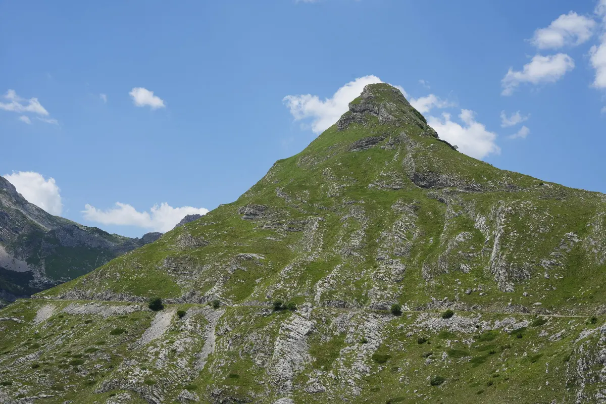
    You are descending through Lomni Do. The road is cut into the steep sides of the valley and of Uvita Greda, and below you lies Valovito Lake. Ahead rises the lone, cone-shaped peak of Stožina, the landmark of the Pošćenje valley. Just below Stožina starts the Jezero circular hiking trail, the Lakes trail, six point two kilometres long. It takes about three hours and passes the small lakes of the Pošćenje valley. A shorter variant, from Suva Lokva to Modro Lake, is about four kilometres long and far less demanding than the trails from Sedlo. It is a good way to end the day if you still have the energy. The last part of the ring follows the main road from Šavnik to Žabljak. The view opens once more onto the massif, with Savin Kuk in the centre, two thousand three hundred and thirteen metres high. The lifts of the Savin Kuk ski centre go up to two thousand two hundred and thirteen metres, and the slopes suit all levels. On the main road the traffic is faster than on the ring. After hours on a narrow road, watch your speed and take care when overtaking. As you enter Žabljak there is a petrol station, if your tank is running low.

    On to the next stop: After about seven kilometres you reach the main road; turn left towards Žabljak. The centre is about five kilometres further on.

At the end

Farewell

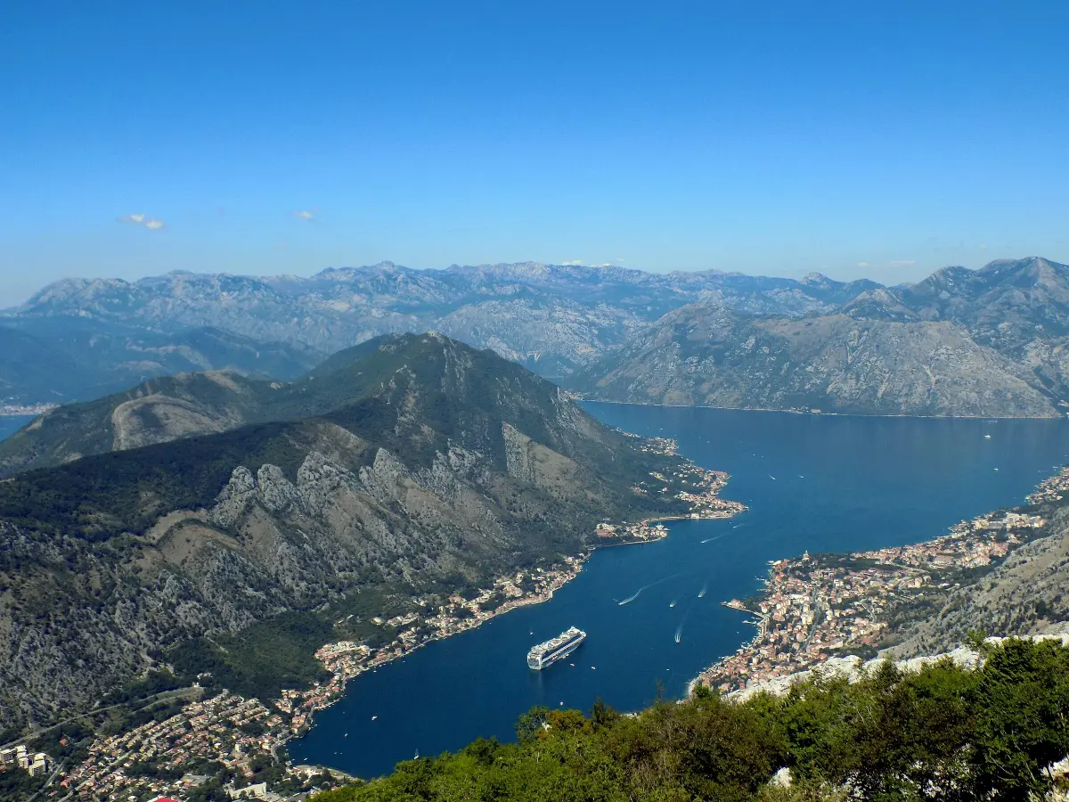
You have closed the circle. You have driven about eighty kilometres, over the pass below Štuoc and the Sedlo pass, through the Sušica canyon and across the Piva plateau. If you still have time, walk to the Black Lake, Crno jezero: it is about half an hour on foot from the centre, and the path around the lake takes about an hour. On our website you will find pages on Durmitor National Park, Žabljak, the Tara canyon and Lake Sušica, as well as hiking trails from Sedlo and from Todorov Do. We also have an audio walk through Kotor Old Town. Thank you for driving carefully.

Good to know

Before you set off

Every word as text

The full narration of each stop is on this page and in the player, with the spoken sentence highlighted – for noisy streets and for deaf and hard-of-hearing visitors.

Works with the screen locked

Once you have pressed play, the narration keeps going with the screen off; use the lock-screen or headphone buttons for pause and next.

Your location stays on your phone

Location mode is optional and works only while this page is on screen. We never receive or store where you are.

Works offline

Download the tour before you go and it plays without mobile data.

Practical notes

Start and finish: Žabljak town centre (N 43°9′19″, E 19°7′16″). You can also join the ring from Plužine (road R-16 to Trsa) or from Šavnik (M-6). Length: officially 76 km; from Žabljak centre and back about 80 km (OSRM). Extras: Ćurevac about 6 km there and back + 1 km on foot each way; Plužine about 28 km there and back. Time: 2–3 hours of driving, half a day with stops; a full day with walks and Plužine. Direction: the guide follows the anticlockwise direction (Štuoc → Sušica → Trsa → Pišče → Sedlo) recommended by the official map; for campervans the map recommends clockwise. If you drive the other way, play the stops from 13 to 1 and skip the directions at the end. Season: closed by snow in winter. It usually opens in late May or June (2026: the Pišče – Todorov Do – Sedlo section opened on 6 June) and can be driven until October or the first snow. Check road conditions before you go (AMSCG, amscg.org; roadside assistance 19807) and with the Žabljak Tourist Organisation. Road: paved all the way, narrow and winding, gradients up to 11 %, single-track in places; rockfall in the Sušica canyon; livestock on the road. Brown "Panoramic roads" signs with the number 2. Vehicles: the official map does not recommend campervans longer than 7 m, wider than 2.30 m or higher than 2.90 m. Fuel: no petrol stations on the ring – Žabljak, Šavnik, Plužine. Signal: missing in places – download the tour for offline use before you start. Emergency number 112. Durmitor National Park: the ticket is paid to rangers at the car parks (e.g. Sedlo, Todorov Do / Prutaš, Ćurevac); prices on nparkovi.me. Food and breaks: Momčilov Grad (on the climb to Štuoc), Nedajno, Trsa; the Sušica mountain hut is not reliably open. Rules: dipped headlights on in daytime, reflective vest and first-aid kit in the car, blood alcohol limit 0.3 ‰, 80 km/h outside built-up areas (drive much slower on the ring). Accessibility: the tour is listened to from the car; viewpoints are by the road, but the footpaths (Ćurevac, Prutaš, Sedlena Greda) are not suitable for wheelchairs.

Audio guides

More audio guides

Narration: AI-generated voice from our editors' scripts · Map © OpenStreetMap contributors, OpenFreeMap. Map data and sources →

Zora

Your Montenegro travel guide

Hi, I'm Zora

Ask me about places, beaches, food, events or a trip plan — in any language.