Mountains
Driving the canyon
26 km from Plužine to Šćepan Polje, through 57 tunnels and across the Mratinje Dam.
A road through 57 tunnels, Mratinje Dam and Lake Piva
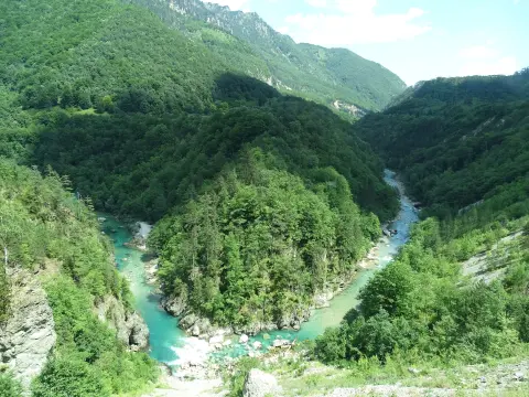
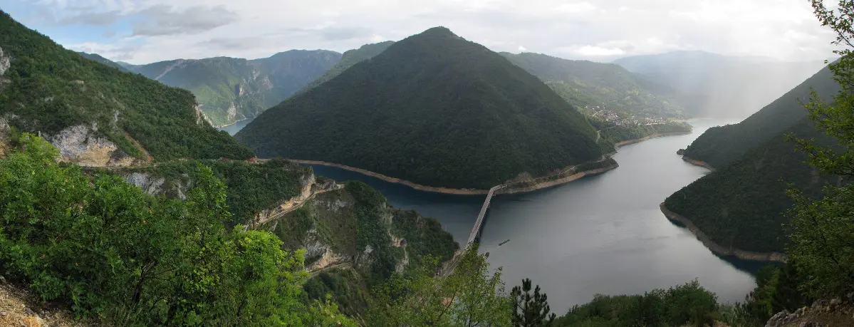
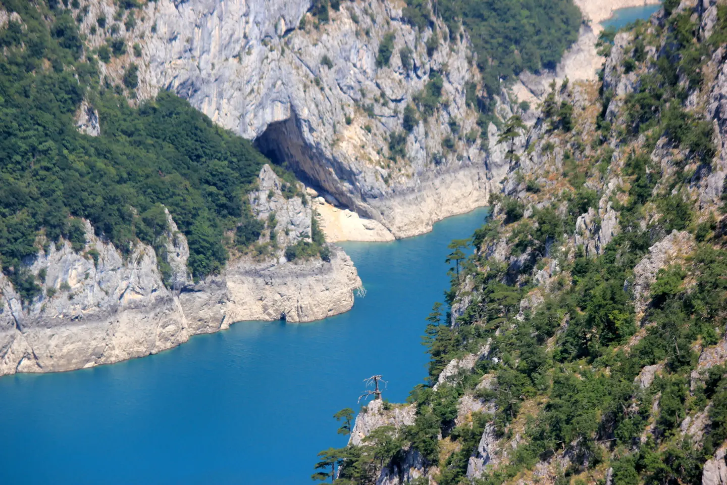
The Piva river has cut a canyon 33 kilometres long and up to 1,200 metres deep between the Bioč, Volujak, Maglić and Pivska Planina mountains.
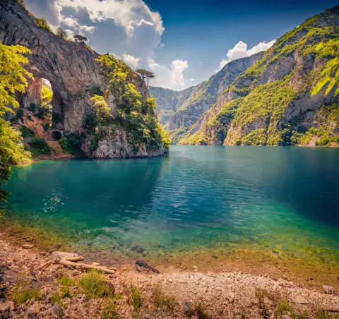
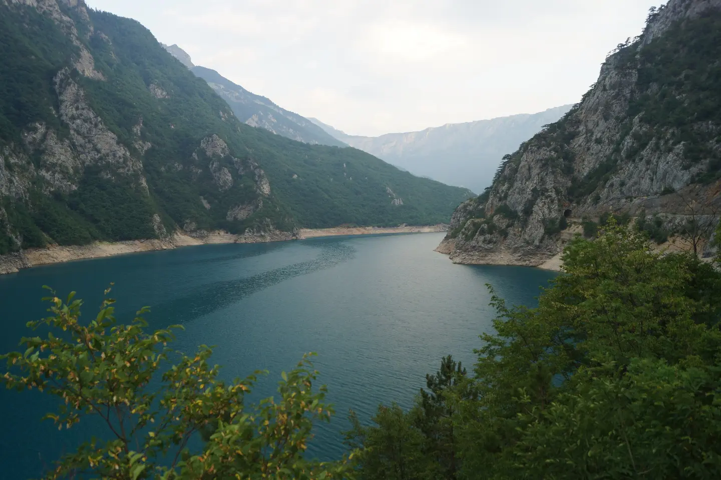
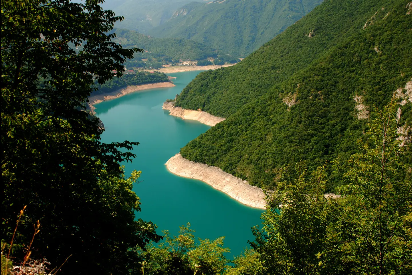
In 1975 the 220-metre Mratinje Dam closed the canyon and created Lake Piva, so most of the canyon is now driven high above turquoise water. The road from Plužine to Šćepan Polje, built in the 1970s for the hydroelectric plant, runs through 57 tunnels cut into the rock, across the top of the dam and on along the river to where the Piva joins the Tara to form the Drina.
Highlights
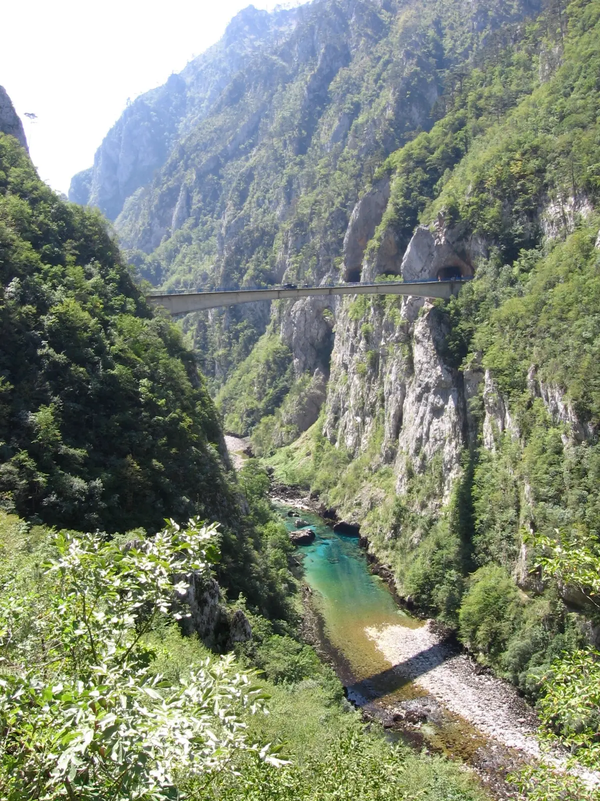
Between Plužine and Šćepan Polje, over 26 kilometres, the road passes through 57 tunnels totalling about 5.7 km. It was built in the 1970s for the Piva hydroelectric plant and cut into the canyon walls: the tunnels are short, narrow and mostly unlit, and in one of them the road even forks towards the village of Duži. The drive needs care, but the whole stretch is one long viewpoint.
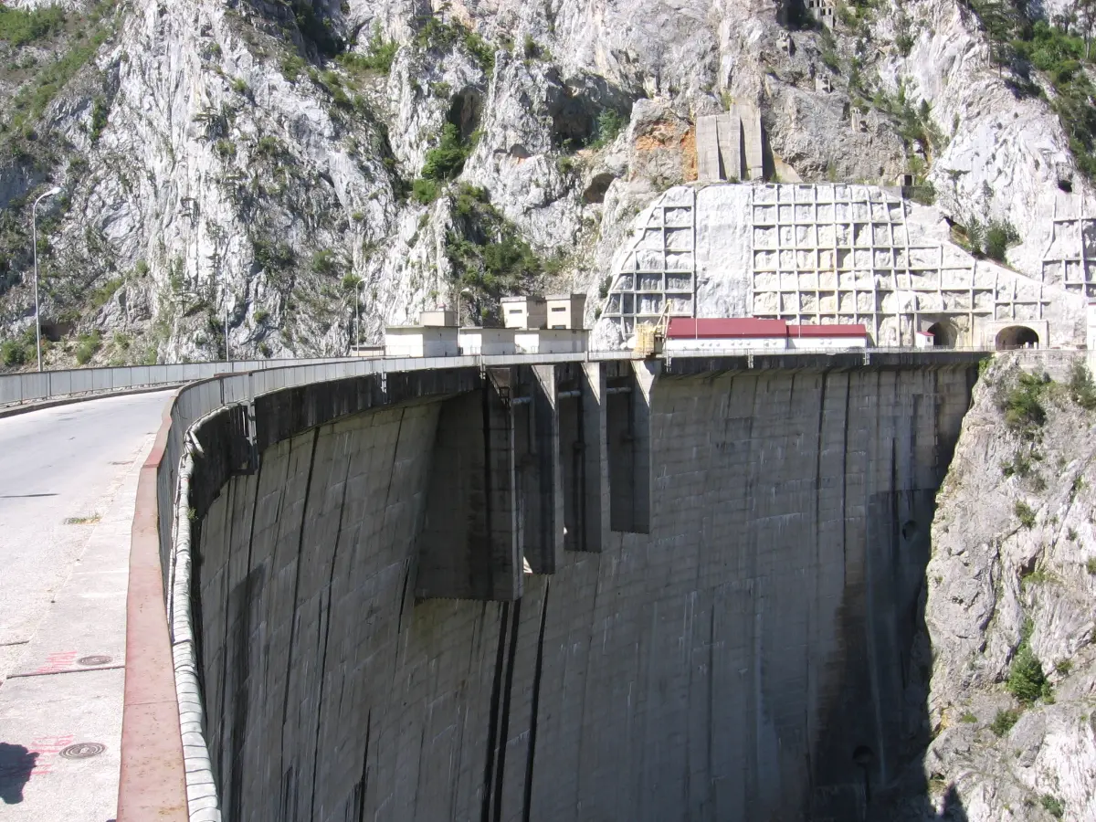
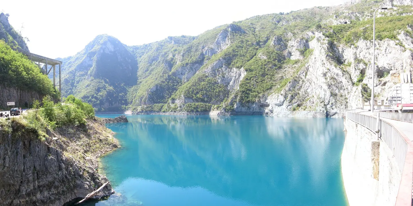
Completed in 1975, the concrete arch dam is 220 metres high and one of the highest in Europe. Its crest is 268 metres long, and about 820,000 m³ of concrete went into it. The road runs across the crest itself: the lake on one side, a drop to the Piva riverbed on the other. There is nowhere to stop on the dam, but just past it and a short tunnel there is a lay-by where you can park.
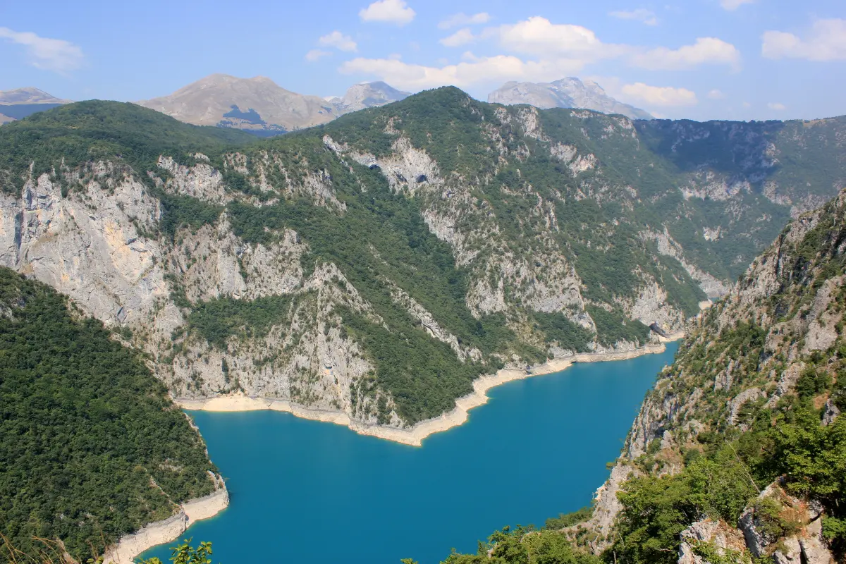
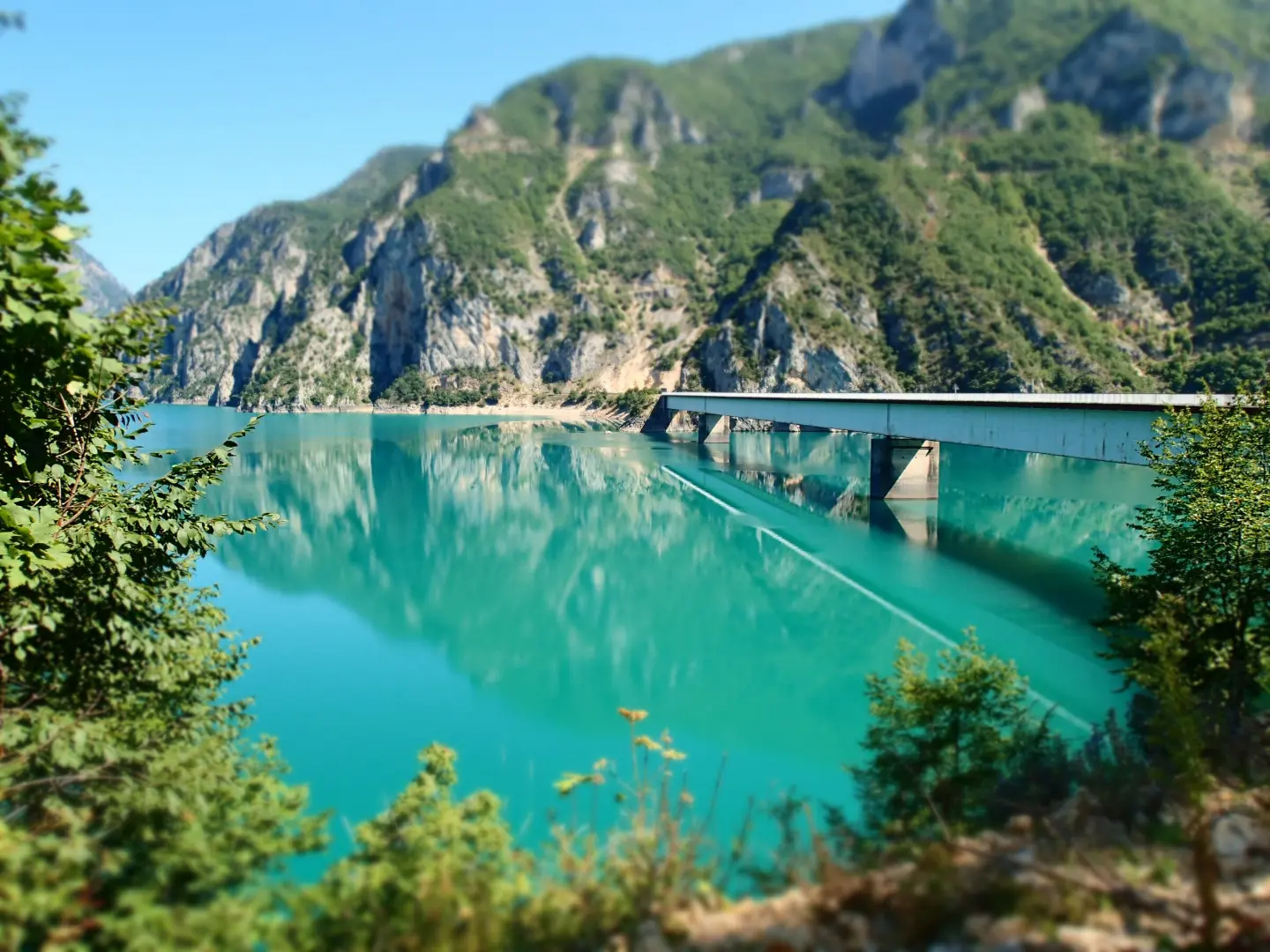
The dam flooded most of the canyon and created Lake Piva: 12.5 km² in area, about 45 km long and up to 188 metres deep, at 675 m above sea level. The turquoise water between steep cliffs is in view almost all the way from Plužine to the dam. The old settlement of Plužine lies at the bottom of the lake.
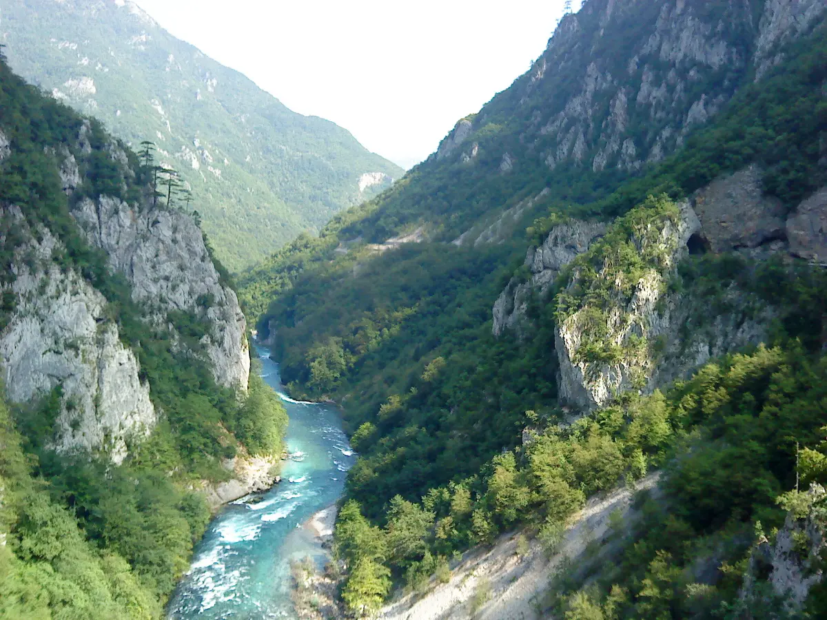
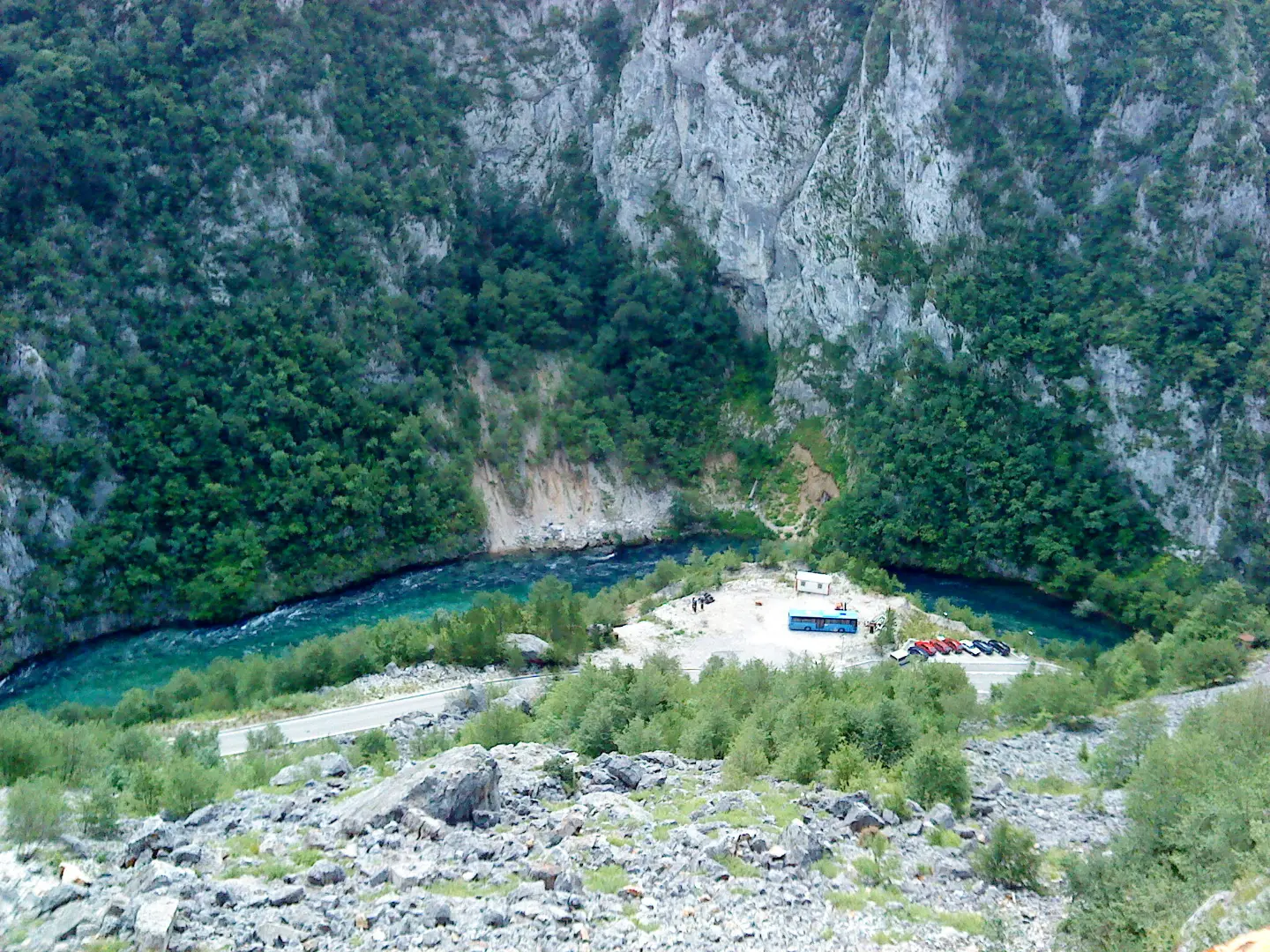
Downstream of the dam the Piva flows freely again, north through a narrow canyon. The road drops along the river through more tunnels, and in places the walls close in so tightly that the canyon feels like a gorge from the car. You can stop at lay-bys along the road to look down at the river.
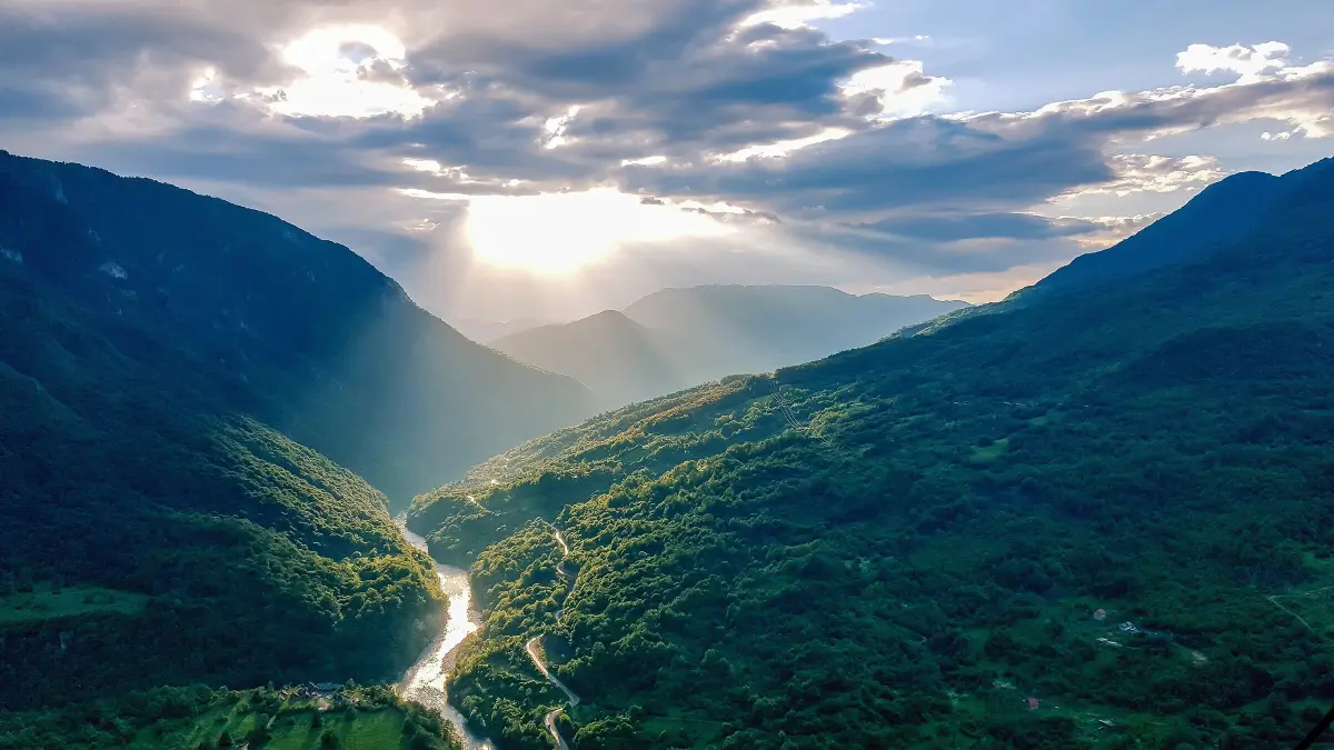
At Šćepan Polje, on the border with Bosnia and Herzegovina, the Piva joins the Tara and together they form the Drina. There is a border crossing here too, so the canyon road is often driven by people heading to Foča and Sarajevo or entering Montenegro from that side.
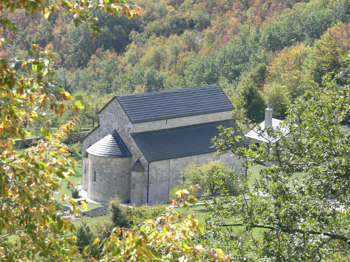
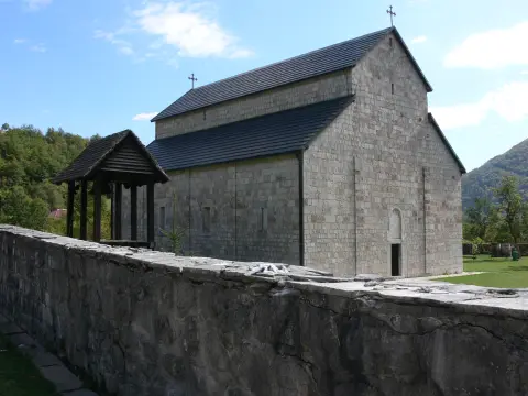
The 16th-century Piva Monastery stood on a site later flooded by the lake. Between 1969 and 1982 it was moved stone by stone, frescoes included, about 3.5 km away to safer ground. It is only a few kilometres from Plužine and easy to combine with a drive through the canyon.
Explore MoreWhat to do
Mountains
26 km from Plužine to Šćepan Polje, through 57 tunnels and across the Mratinje Dam.
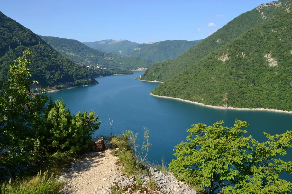
Šupljača and other Piva Nature Park viewpoints look over the lake and the canyon.
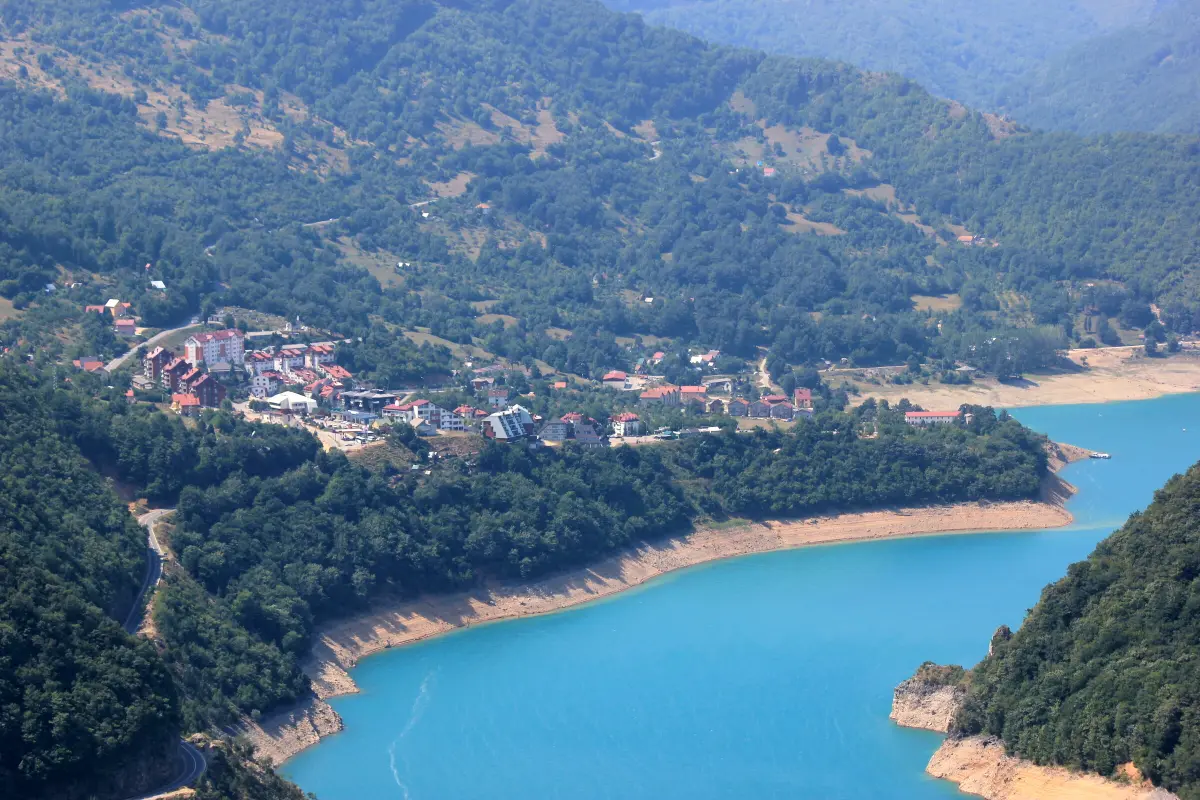
A walk around the lakeside town, the starting point for the canyon.
Hiking, walking and cycling routes that start here or pass nearby, with maps and GPX downloads.
A very demanding multi-day one-way hiking tour, 23.1 km long; total ascent is 1,562 m and total descent is 1,774 m. It leads from Maglić past viewpoints, springs and shelters to Pivska planina; the highest point is at 2,142 m a.s.l.
23.1 km1,562 m2–3 days
View trail
Via ferata u kanjonu Pive sa traverzom nisko iznad vode i završnim vertikalnim dijelom od oko 80 m.
View trail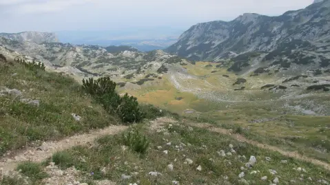
A marked hiking tour in Durmitor National Park: 42,4 km, ascent 1630 m, descent 1747 m. It starts near Crno Jezero, passes by Sušičko Jezero, Planinica Peak and Skakala Waterfall; recommended for experienced hikers.
42.4 km1,630 m2–3 days
View trailA short hiking tour (2.0 km) to Vrsta Peak. It involves 456 m of ascent and takes about 1 h 45 min of walking, mostly over rocky terrain.
2.0 km456 m1½–2 h
View trailHiking trail 2.3 km long with 69 m ascent and 255 m descent. It leads through high mountain terrain near Trnovačko and Stabanska Lakes.
2.3 km69 m50–70 min
View trailShort mountain trail in the area of Trnovačko Lake: 1.3 km, 69 m of ascent and about 25 min of walking. Moderate, marked, with an earthen and forest surface.
1.3 km69 m20–30 min
View trailBioč is a one-way hiking trail 2.2 km long. It is demanding (T3) and leads over rocky terrain, with an ascent of 6 m and a descent of 319 m; the estimated walking time is 55 min.
2.2 km45–65 min
View trailThe ascent to Trzivka is a one-way hiking trail 1.7 km long. It covers 225 m of elevation gain and takes about 1 hour of walking without breaks, leading to the summit of Trzivka.
1.7 km225 m50–70 min
View trailGallery
Plan Your Visit
Admission
There is no charge to drive through the canyon.
The road is open all year, but it is sometimes closed by snow in winter – check conditions before you go.
At lay-bys along the road and just past the Mratinje Dam; don't stop in the tunnels or on the dam crest.
The canyon is seen from the car and from roadside viewpoints; walking along the tunnel road itself is not advisable because of traffic.
FAQ
Around here
Explore More