Travel to Montenegro
Bobotov Kuk
Peak – Durmitor National Park

Bobotov Kuk

The highest peak of Durmitor, 2,523 m

Overview

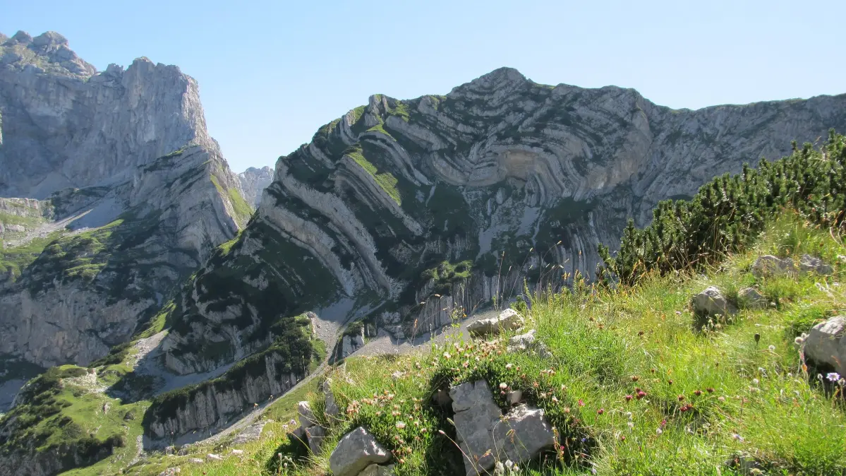
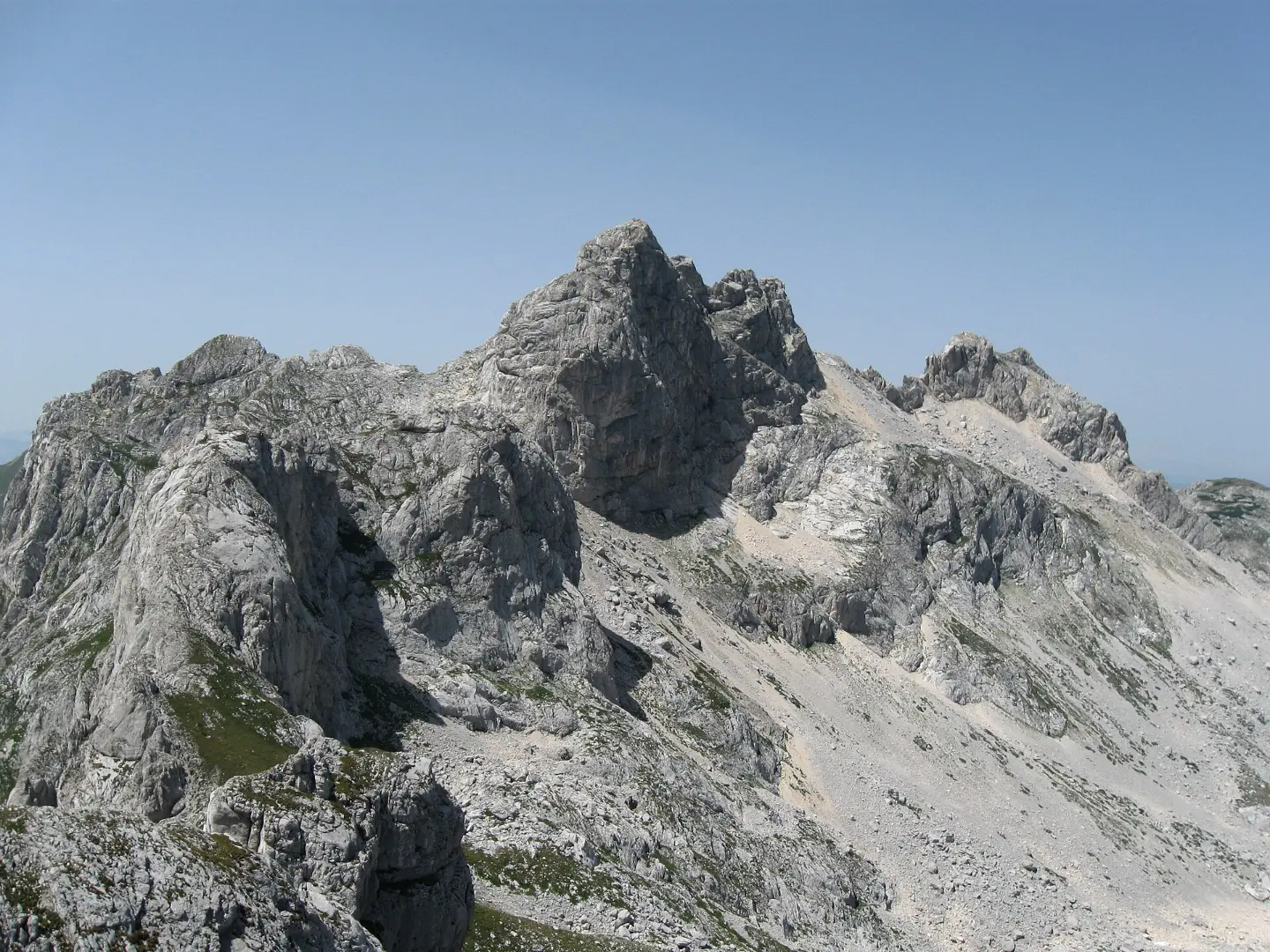
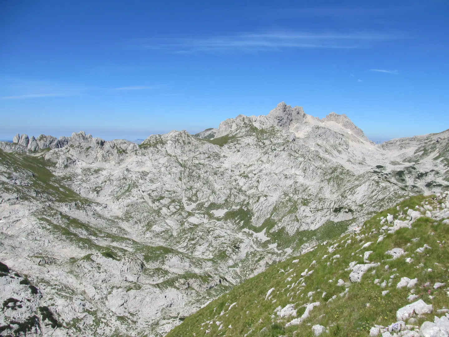
At 2,523 metres, Bobotov Kuk is the highest peak of the Durmitor massif and the highest peak located entirely within the territory of Montenegro.

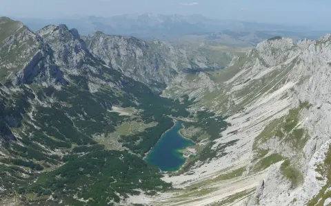
It rises above the Škrka valley with Veliko and Malo Škrčko lakes, and together with Bezimeni Vrh and Đevojka it forms the whole known as Soa Nebeska. Marked trails lead to the summit from the Sedlo pass, from Žabljak via Crno Jezero and Lokvice, and from Dobri Do. The trail is technically moderately demanding, and the final, steep and exposed section is secured with steel cables.

  • Hiking
  • Durmitor
  • NP Durmitor
  • Peaks
  • Žabljak
Highlights

Discover Bobotov Kuk

Zeleni Vir

Zeleni Vir

Below the southern side of the peak, at about 2,028 m, lies Zeleni Vir, a seasonal lake that fills with melting snow. Trails from Sedlo and from Dobri Do pass through it, making it the last major point before the ascent over Velika Previja towards the summit.
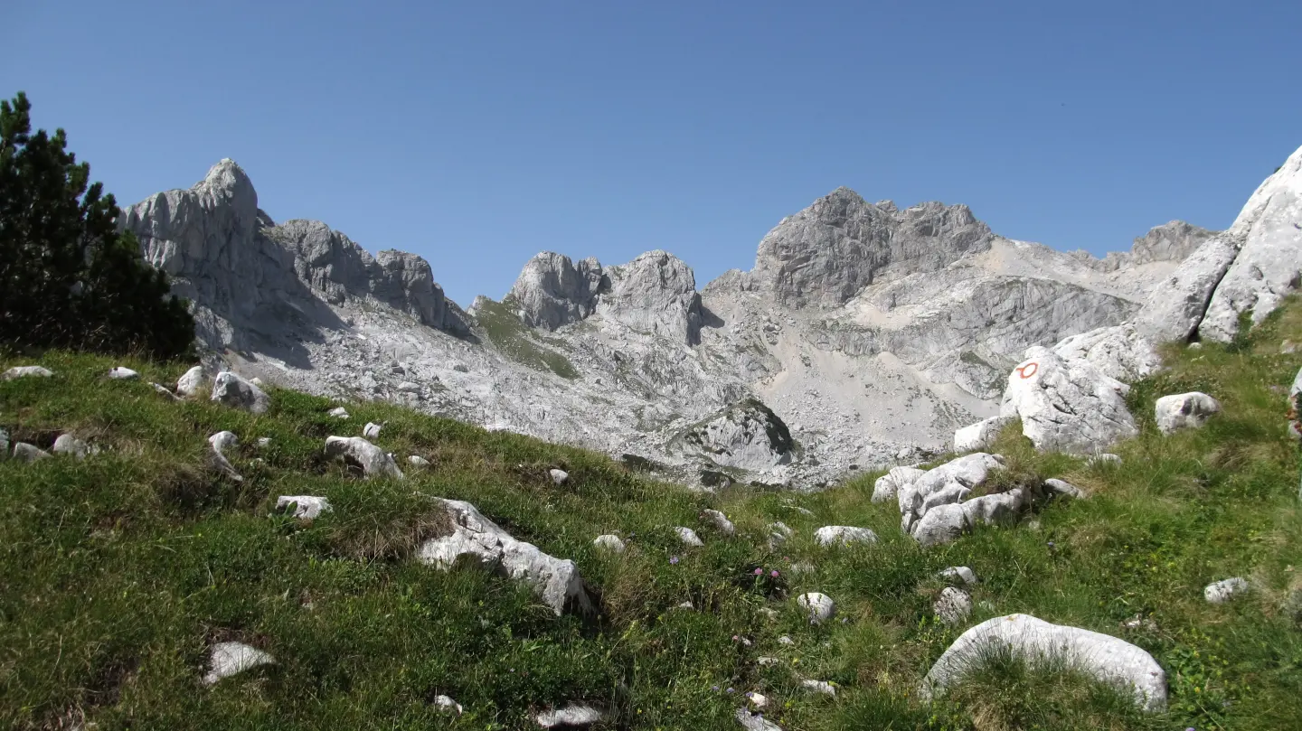
Škrčki Pogled

Škrčki Pogled

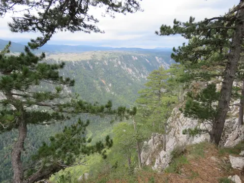
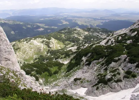
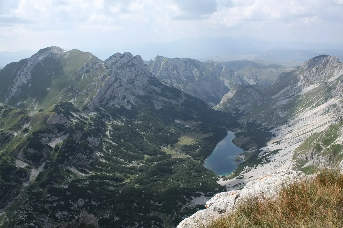
On the trail from Velika Previja towards the summit you pass through Škrčki Pogled. The western side of Bobotov Kuk drops steeply towards the Škrka valley, where Veliko and Malo Škrčko lakes lie, and from this part of the trail a view of the valley opens up.

Sedlo Pass

Sedlo Pass

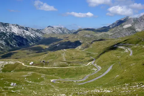
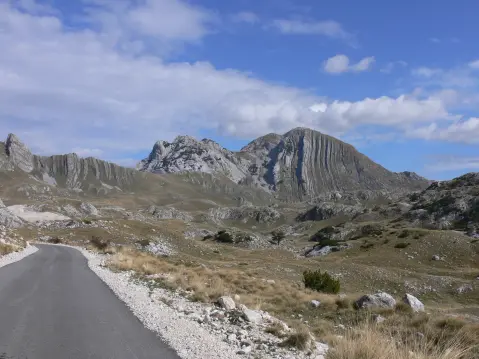
The Sedlo pass (about 1,907 m) is on the panoramic Durmitor Ring road and is one of the most visited viewpoints in Durmitor. From there begins the shortest trail to Bobotov Kuk, via Uvita Greda, Suvi Tavani and Surutka, with about 616 m of elevation gain.

Soa Nebeska

Soa Nebeska

Together with Bezimeni Vrh and Đevojka, Bobotov Kuk forms a high-mountain whole known as Soa Nebeska. These peaks form a steep wall on the western side above the Škrka valley and Veliko and Malo Škrčko lakes.

What to do

Activities in Bobotov Kuk

  • Mountains

    Hiking

    Marked trails from Sedlo, from Žabljak via Lokvice and from Dobri Do lead to the summit.

  • Memorial march

    Every year around 13 July, the march “General Danilo Jauković” gathers mountaineers in Dobri Do.

Around here

Nearby places

  1. Durmitor National Park

    Durmitor National Park

    National Park · 1.0 km

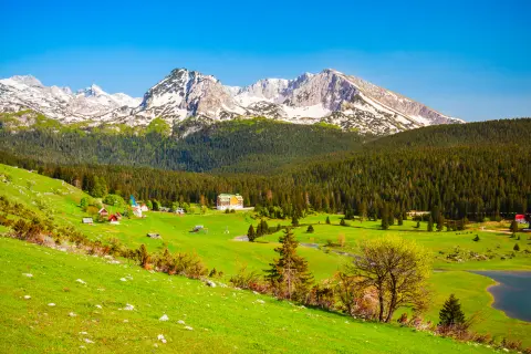
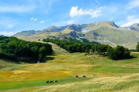
    Mountain massif in northwestern Montenegro with 48 peaks, 18 glacial lakes and one of the deepest canyons in Europe.

  2. Crno Jezero

    Crno Jezero

    Lake · 5.2 km

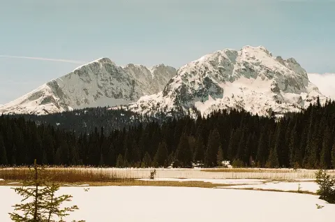
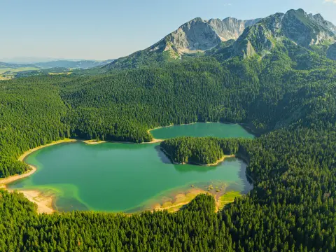
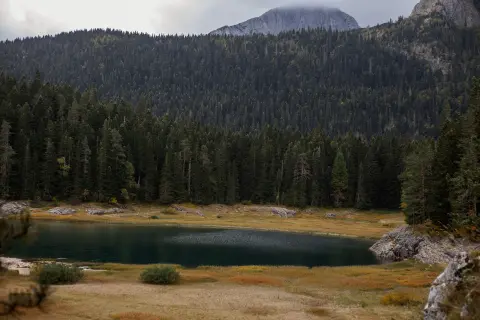
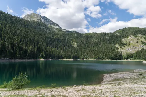
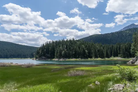
    The largest glacial lake of Durmitor, located 3 km from Žabljak at 1,418 m above sea level, surrounded by dense pine forest.

  3. Savin kuk

    Savin kuk

    Mountain · 5.6 km

    Savin kuk (2,313 m) above Žabljak: a ski centre with 4.6 km of slopes in winter, and in summer a panoramic cable-car ride and a marked trail from Crno jezero.

  4. Sušičko jezero

    Sušičko jezero

    Lake · 6.4 km

    Sušičko jezero in Durmitor National Park is unique in that it completely dries up every year during the summer months.

  5. Žabljak

    Žabljak

    City · 7.8 km

    Žabljak is a mountain town at 1,456m above sea level, the tourism hub of Durmitor and the starting point for 18 glacial lakes and the Tara Canyon.

  6. Vražje jezero

    Vražje jezero

    Lake · 10 km

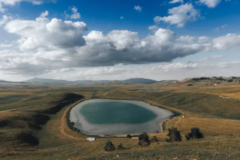
    A glacial lake on the Jezersko-Drobnjačka plateau, 630 m long, surrounded by open pastures along the old caravan route Nikšić–Pljevlja.

  7. Nevidio Canyon

    Nevidio Canyon

    Canyon · 16 km

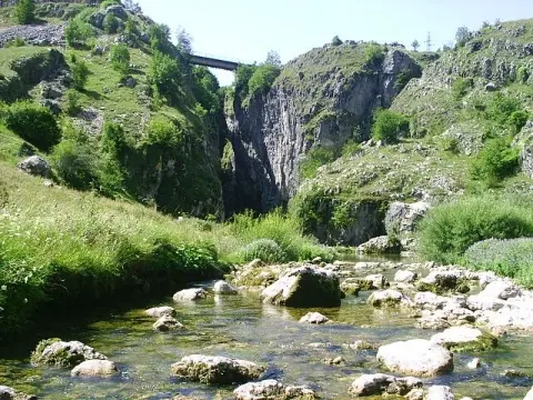
    A narrow gorge of the Komarnica river near Pošćenje, in Šavnik municipality. First passed in 1965, it is now visited only with licensed guides.

  8. Tara River Canyon

    Tara River Canyon

    Canyon · 21 km

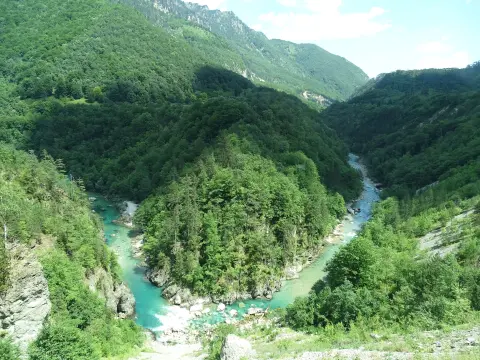
    The Tara canyon is 78 km long and up to about 1,300 m deep; the Đurđevića Tara bridge of 1940 spans it, and the river is run by raft.

Plan Your Visit

Weather & Useful Info

When to come

Monthly averages – Žabljak.

  • Jan: Air (max) 0 °C
  • Feb: Air (max) 2 °C
  • Mar: Air (max) 3 °C
  • Apr: Air (max) 8 °C
  • May: Air (max) 14 °C
  • Jun: Air (max) 19 °C
  • Jul: Air (max) 22 °C
  • Aug: Air (max) 22 °C
  • Sep: Air (max) 16 °C
  • Oct: Air (max) 13 °C
  • Nov: Air (max) 6 °C
  • Dec: Air (max) 2 °C
Air (max)Best time to visit
Climate and weather – Žabljak
The most suitable period for the ascent is from June to October, depending on snow and trail conditions. In the early summer months, on higher sections, especially on northern exposures, there may be residual snow and ice. The road to Sedlo is usually closed in winter.

Visitor tip

Check the forecast before setting off and do not go during thunderstorms, fog or poor visibility – the weather here changes quickly. Bring enough water and food and wear hiking footwear. On the final metres the rocks are slippery and rockfall is possible, so a helmet is recommended. Stay only on marked trails, sign the mountaineering logbook and inform the Durmitor National Park service.

Good to know

Admission
The peak is in Durmitor National Park; the ticket can be bought from the ranger at the parking lots along the Durmitor Ring, e.g. at Sedlo.
Parking
Parking lot at Sedlo pass, where the shortest trail starts.
Accessibility
Only on foot, along marked trails; the final section with cables requires physical fitness.

Getting Here

By Car

The panoramic Durmitor Ring road, a 76 km circular road from Žabljak, leads to the Sedlo pass; it is usually closed in winter. The longer trail starts in Žabljak, at Crno Jezero.

Open in Google Maps
FAQ

Frequently Asked Questions

The most common approach is from the Sedlo pass, via Uvita Greda, Surutka, Zeleni Vir and Velika Previja: about 3 hours up and 2.5 hours down, with 616 m of elevation gain. From Dobri Do the ascent takes about 2 h 30 min, and the descent about 2 hours, with 801 m of elevation gain.

Yes, you can. The trail leads via Crno Jezero, Lokvice, Biljegov Do, Valoviti Do and Velika Previja: the ascent takes about 5 h 20 min, the descent about 4 hours, and the elevation gain is 1,073 m. The trail is marked along its entire length.

The trail is technically moderately demanding, but requires good fitness and hiking footwear. The final section is steep and exposed and secured with steel cables, and the rocks there are slippery due to the large number of hikers.

The main season is from June to October. In early summer, on higher sections, especially on northern exposures, there may be residual snow and ice. Avoid the ascent during thunderstorms, fog and poor visibility.

It is not. It was long considered so, but higher peaks are on the border with Albania, such as Zla Kolata. Bobotov Kuk is the highest peak of Durmitor and the highest peak located entirely within the territory of Montenegro.